Coed Wern-ty-gwyn

Wood, Forest in Caernarfonshire

Wales

Coed Wern-ty-gwyn

A typical road bridge over the A55, near Bangor An Eastbound view, showing the snow-covered mountains of Snowdonia ahead. This section of the A55 makes up the Bangor Bypass and opened in 1983.
A typical road bridge over the A55, near Bangor Credit: Oliver Mills

Coed Wern-ty-gwyn, located in Caernarfonshire, Wales, is a picturesque woodland area renowned for its natural beauty and diverse flora and fauna. Nestled in the heart of Snowdonia National Park, this enchanting forest covers an expansive area of approximately 100 hectares.

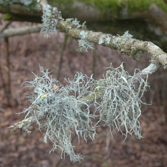
The woodland is predominantly composed of native tree species, including oak, beech, and birch, which create a captivating canopy that provides shade and shelter for countless animal species. The forest floor is carpeted with a rich tapestry of wildflowers, ferns, and mosses, adding to its ethereal charm.

Coed Wern-ty-gwyn is also home to a myriad of wildlife, making it an ideal destination for nature enthusiasts and wildlife photographers. Visitors may spot elusive woodland creatures such as red squirrels, badgers, and foxes, as well as an array of bird species including woodpeckers, tawny owls, and goldcrests.

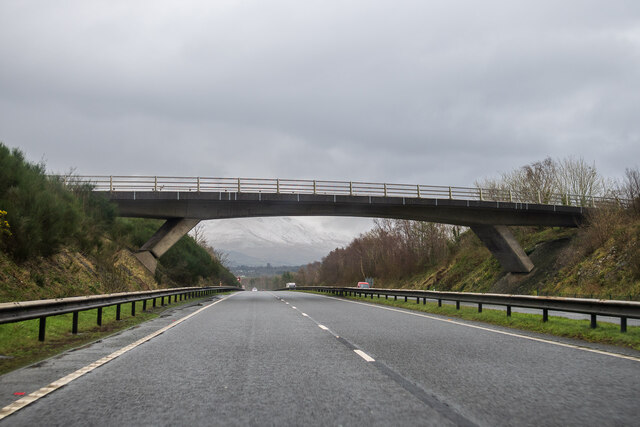
The forest offers a network of well-maintained walking trails, allowing visitors to explore its hidden treasures at their own pace. These trails meander through ancient woodlands, crossing babbling brooks and offering breathtaking views of the surrounding mountains. The forest is also intersected by a small river, adding to its scenic allure.

Coed Wern-ty-gwyn is a haven for outdoor activities, with opportunities for hiking, birdwatching, and picnicking. It is also a popular spot for photography, with its magical ambiance providing the perfect backdrop for capturing the beauty of nature.

Overall, Coed Wern-ty-gwyn is a captivating woodland that showcases the natural wonders of Caernarfonshire. Its tranquil atmosphere, diverse ecosystem, and stunning landscapes make it a must-visit destination for nature lovers and those seeking a peaceful retreat in the heart of Wales.

If you have any feedback on the listing, please let us know in the comments section below.

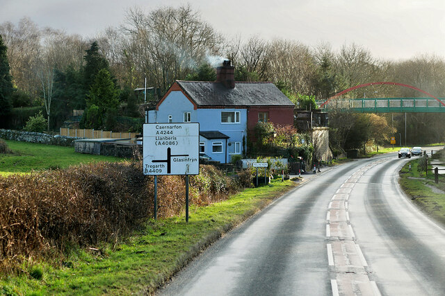
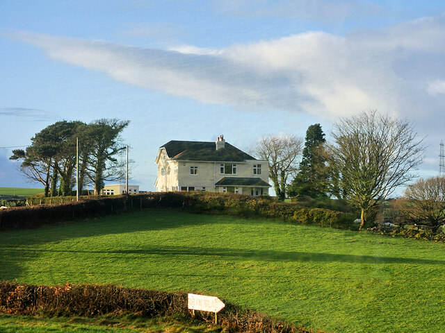
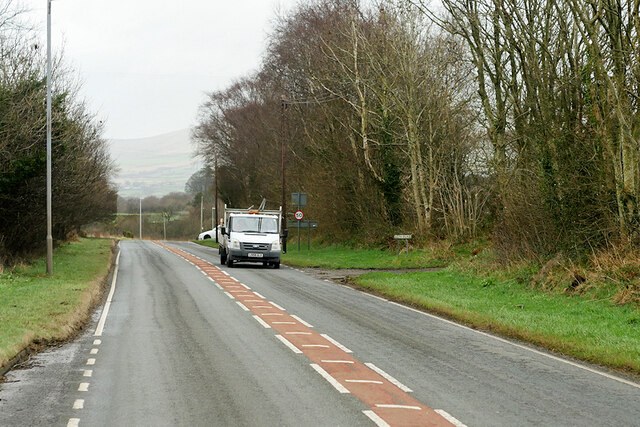
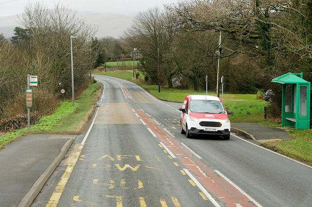
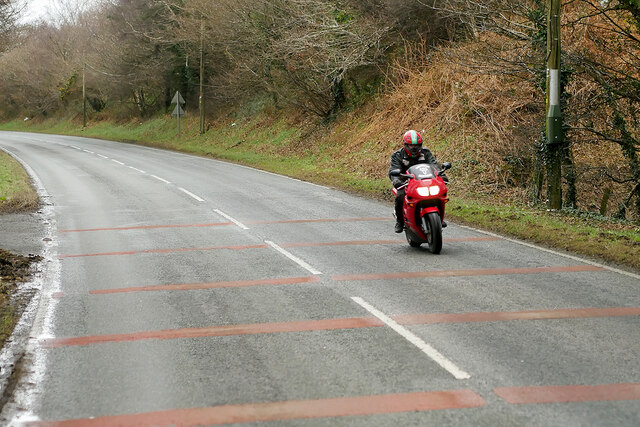
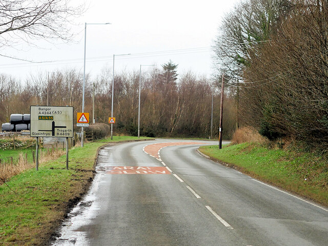
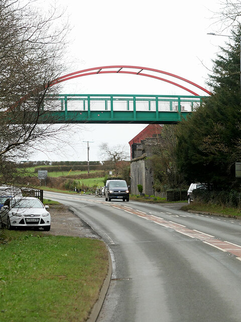
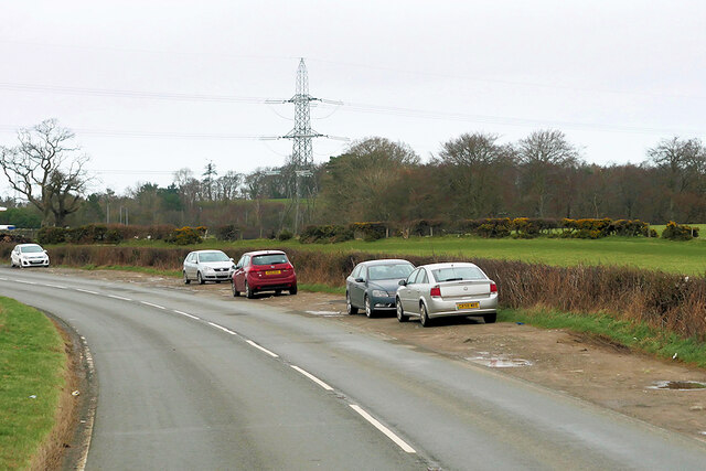
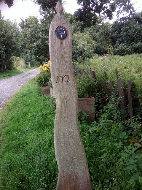
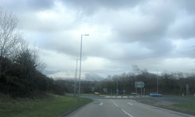
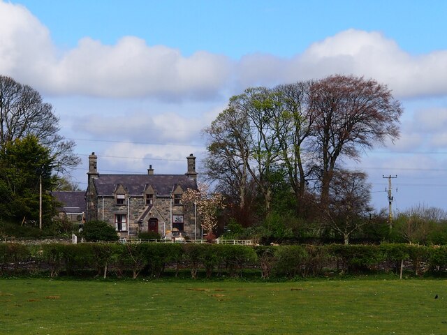
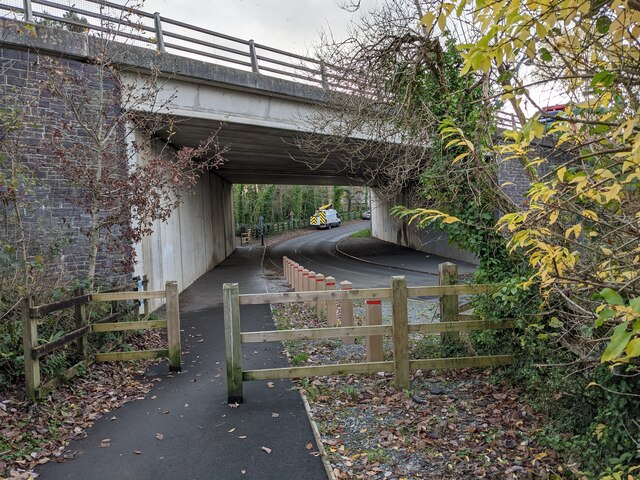
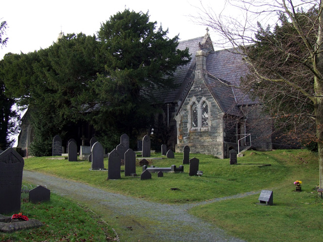
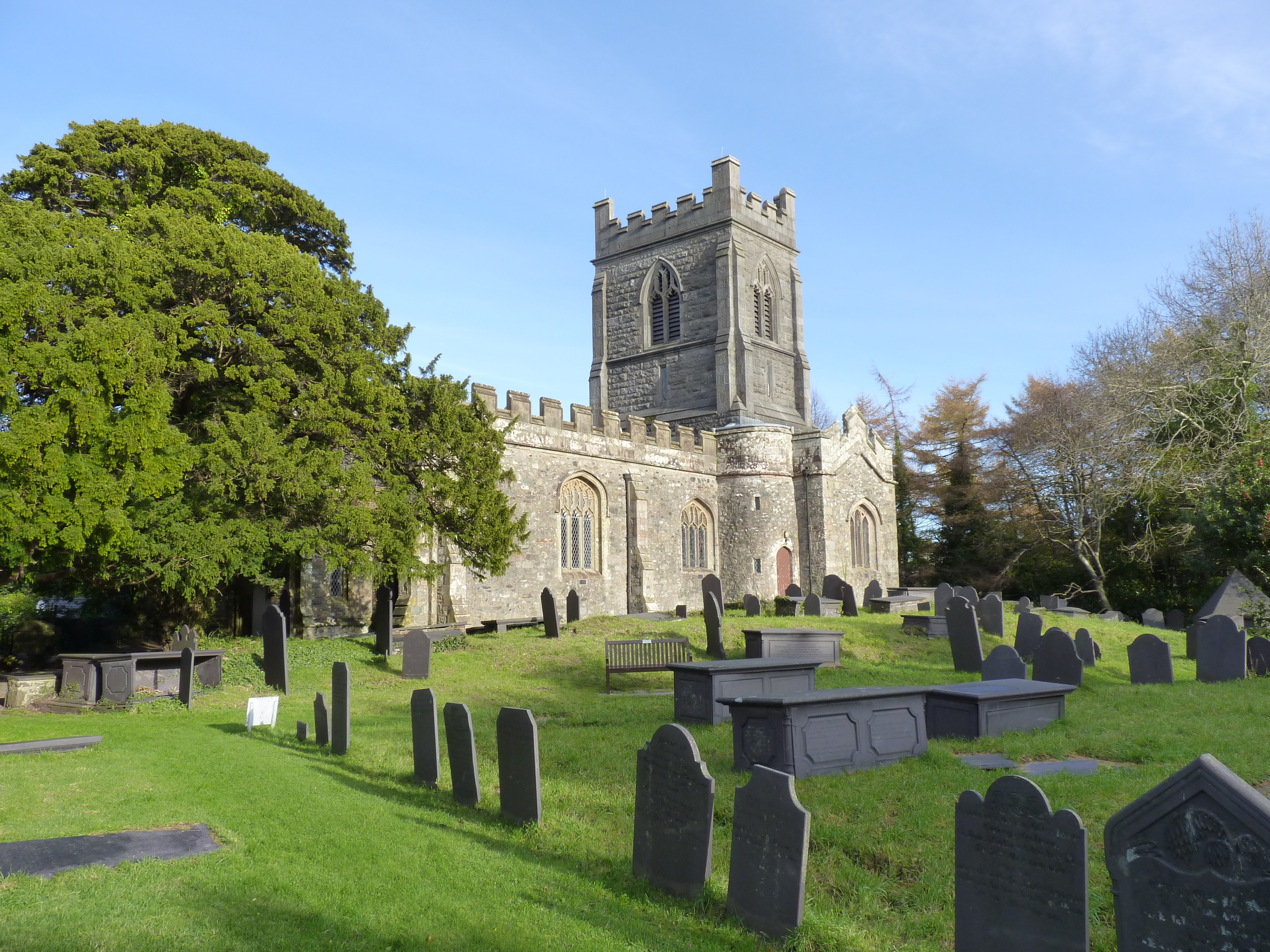
Coed Wern-ty-gwyn Images

Images are sourced within 2km of 53.193511/-4.114239 or Grid Reference SH5868. Thanks to Geograph Open Source API. All images are credited.

A typical road bridge over the A55, near Bangor An Eastbound view, showing the snow-covered mountains of Snowdonia ahead. This section of the A55 makes up the Bangor Bypass and opened in 1983.
A typical road bridge over the A55, near Bangor
An Eastbound view, showing the snow-covered mountains of Snowdonia ahead. This section of the A55 makes up the Bangor Bypass and opened in 1983.
Cen llwyd / Grey lichen
Pont dros Lon Las Ogwen / Bridge over Lon Las Ogwen
Coedlan ger Pant-y-Cyff / Woodland near Pant-y-Cyff (1)
Coedlan ger Pant-y-Cyff / Woodland near Pant-y-Cyff (2)
Hydrant sign on telephone pole, Tregarth
A4244, Felin Hen Road The A4244 is a relatively short (6½ miles) rural A-road in north Caernarfonshire. It connects the A5/A55 (near the Llys-y-gwynt junction) with the A4086 at Brynrefail, just outside Llanberis.
A4244, Felin Hen Road
The A4244 is a relatively short (6½ miles) rural A-road in north Caernarfonshire. It connects the A5/A55 (near the Llys-y-gwynt junction) with the A4086 at Brynrefail, just outside Llanberis.
Large House near to Pentir
A4244, Pentir The A4244 is a relatively short (6½ miles) rural A-road in north Caernarfonshire. It connects the A5/A55 (near the Llys-y-gwynt junction) with the A4086 at Brynrefail, just outside Llanberis.
A4244, Pentir
The A4244 is a relatively short (6½ miles) rural A-road in north Caernarfonshire. It connects the A5/A55 (near the Llys-y-gwynt junction) with the A4086 at Brynrefail, just outside Llanberis.
A4244, Rhyd y groes Bus Stop The A4244 is a relatively short (6½ miles) rural A-road in north Caernarfonshire. It connects the A5/A55 (near the Llys-y-gwynt junction) with the A4086 at Brynrefail, just outside Llanberis.
A4244, Rhyd y groes Bus Stop
The A4244 is a relatively short (6½ miles) rural A-road in north Caernarfonshire. It connects the A5/A55 (near the Llys-y-gwynt junction) with the A4086 at Brynrefail, just outside Llanberis.
Motorcyclist on the A4244 near to Pentir
A4244 near Felin-hên
Footbridge over Felin Hen Road The A4244 is a relatively short (6½ miles) rural A-road in north Caernarfonshire. It connects the A5/A55 (near the Llys-y-gwynt junction) with the A4086 at Brynrefail, just outside Llanberis.
Footbridge over Felin Hen Road
The A4244 is a relatively short (6½ miles) rural A-road in north Caernarfonshire. It connects the A5/A55 (near the Llys-y-gwynt junction) with the A4086 at Brynrefail, just outside Llanberis.
Layby on the A4244 near to  Glasinfryn The A4244 is a relatively short (6½ miles) rural A-road in north Caernarfonshire. It connects the A5/A55 (near the Llys-y-gwynt junction) with the A4086 at Brynrefail, just outside Llanberis.
Layby on the A4244 near to Glasinfryn
The A4244 is a relatively short (6½ miles) rural A-road in north Caernarfonshire. It connects the A5/A55 (near the Llys-y-gwynt junction) with the A4086 at Brynrefail, just outside Llanberis.
Moelyci heritage trail waymark No. 1, Tregarth
Roundabout near the Bangor A55 Services  Snow-capped Snowdonia mountains beyond
Roundabout near the Bangor A55 Services
Snow-capped Snowdonia mountains beyond
Fferm Lon Isaf
Fferm Lon Isaf
Lôn Las Ogwen passes under the A55
Show me another place!

Coed Wern-ty-gwyn is located at Grid Ref: SH5868 (Lat: 53.193511, Lng: -4.114239)

Unitary Authority: Gwynedd

Police Authority: North Wales

What 3 Words

///tenure.scavenger.acrobat. Near Tregarth, Gwynedd

Related Wikis

Felin Hen Halt railway station

Felin Hen Halt railway station was a station in Glasinfryn, Gwynedd, Wales on the Bethesda branch line. The station was opened on 1 July 1884 and closed...

Glasinfryn

Glasinfryn is a small village in Gwynedd, Wales. It is situated between the village of Tregarth and the city of Bangor, Gwynedd, and in the community of...

Tregarth railway station

Tregarth railway station is a disused railway station in Gwynedd, Wales. It was located on the Bethesda Branch line, just north of the village of Tregarth...

Tregarth

Tregarth is a village near Thomas Telford's A5 London to Holyhead road between the town of Bethesda and the city of Bangor in Gwynedd, north Wales. It...

Aber Dinlle Fault

The Aber Dinlle Fault is a SW-NE trending fault in North Wales. It forms part of the Menai Strait Fault System, with the Berw and Dinorwic Faults. It lies...

Pentir

Pentir is a community and electoral ward in the county of Gwynedd, Wales, and is 124 miles (199.9 km) from Cardiff and 205 miles (329.4 km) from London...

Cochwillan

Cochwillan is a medieval hall house situated in the lower Ogwen Valley, south of the village of Talybont in the parish of Llanllechid, between Bethesda...

Llandygai

Llandygái (; Welsh: [ɬandɛ'ɡai]; ; also Llandegai) is a small village and community on the A5 road between Bangor and Tal-y-bont in Gwynedd, Wales. It...

Nearby Amenities

Located within 500m of 53.193511,-4.114239
Barrier: bollard
Bicycle: yes
Bollard: foldable
Foot: yes
Lat/Long: 53.1932226/-4.1116689
Barrier: bollard
Bicycle: yes
Bollard: foldable
Foot: yes
Lat/Long: 53.1938821/-4.1117473
Felin Hen
Historic Railway: halt
Operator: L&NWR
Railway: site
Wikidata: Q28971080
Wikipedia: en:Felin Hen Halt railway station
Lat/Long: 53.1931601/-4.1115107
Power: pole
Lat/Long: 53.1955475/-4.1200957
Power: pole
Lat/Long: 53.1947094/-4.1190481
Power: pole
Lat/Long: 53.1940362/-4.1182066
Power: pole
Lat/Long: 53.1934754/-4.1174953
Power: pole
Lat/Long: 53.1929216/-4.1168363
Power: pole
Lat/Long: 53.1920915/-4.1157972
Power: pole
Lat/Long: 53.1918627/-4.1147614
Power: pole
Lat/Long: 53.1897674/-4.1116136
Power: pole
Lat/Long: 53.1902543/-4.1128233
Power: pole
Lat/Long: 53.1905677/-4.1136092
Power: pole
Lat/Long: 53.1908682/-4.1142663
Power: pole
Lat/Long: 53.191307/-4.1148135
Felin Hen
Historic Railway: station
Operator: Penrhyn Quarry Railway
Railway: site
Lat/Long: 53.1918149/-4.1140541
Direction: SSE
Generator Method: photovoltaic
Generator Output Electricity: yes
Generator Solar Modules: 9
Generator Source: solar
Generator Type: solar_photovoltaic_panel
Location: roof
Power: generator
Lat/Long: 53.1975571/-4.117044
Direction: SSE
Generator Method: photovoltaic
Generator Output Electricity: yes
Generator Solar Modules: 5
Generator Source: solar
Generator Type: solar_photovoltaic_panel
Location: roof
Power: generator
Lat/Long: 53.1975836/-4.1169501
The data included in this document is from www.openstreetmap.org. The data is made available under ODbL.

Have you been to Coed Wern-ty-gwyn?

Leave your review of Coed Wern-ty-gwyn below (or comments, questions and feedback).