Allt Beili-bedw
Wood, Forest in Carmarthenshire
Wales
Allt Beili-bedw
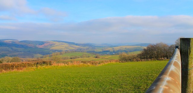
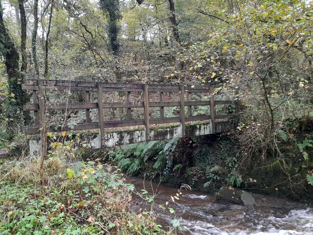
Allt Beili-bedw is a woodland area located in Carmarthenshire, Wales. Covering an area of approximately 60 hectares, it is a diverse and vibrant forest that offers a range of recreational opportunities for visitors.
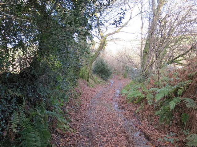
The woodland consists mainly of deciduous trees, including oak, beech, ash, and birch, creating a rich and varied landscape. These trees provide a haven for numerous species of flora and fauna, making it an important ecological site. The forest floor is carpeted with a variety of wildflowers, adding to its natural beauty.
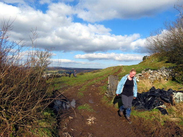
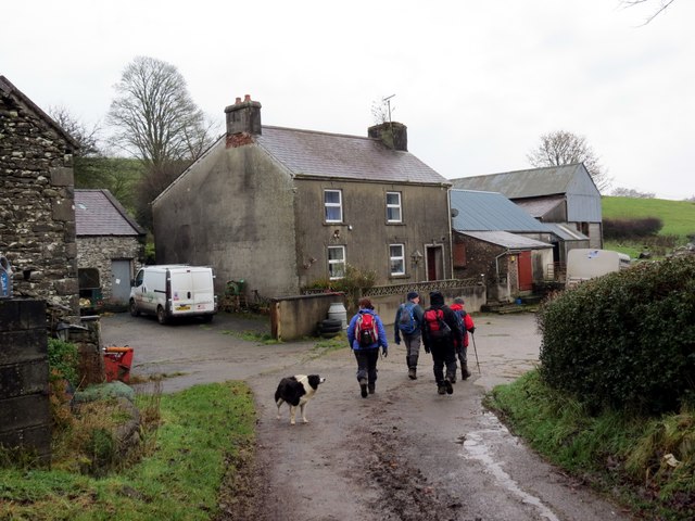
Allt Beili-bedw is known for its well-maintained walking trails, which allow visitors to explore the woodland at their own pace. These trails wind through the trees, offering breathtaking views of the surrounding countryside. The forest is also home to a diverse range of wildlife, including birds, squirrels, and deer, making it a popular spot for nature enthusiasts and birdwatchers.
Additionally, the woodland offers several picnic areas, allowing visitors to relax and enjoy the peaceful surroundings. There are also designated camping spots for those wishing to spend a night under the stars.
Allt Beili-bedw is easily accessible, with ample parking facilities available. The site is well-maintained by local authorities, ensuring that it remains a beautiful and enjoyable destination for visitors of all ages. Whether it's a leisurely walk, a picnic, or a wildlife-spotting adventure, Allt Beili-bedw offers a serene and picturesque setting for all nature lovers to enjoy.
If you have any feedback on the listing, please let us know in the comments section below.
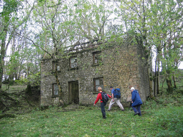
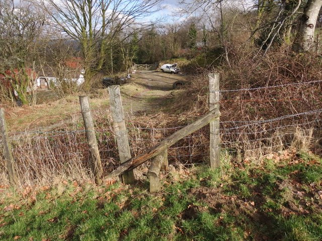
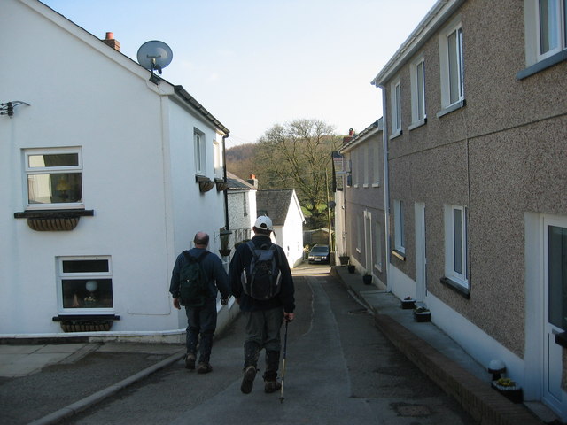
Allt Beili-bedw Images
Images are sourced within 2km of 51.971169/-4.0562005 or Grid Reference SN5832. Thanks to Geograph Open Source API. All images are credited.


Allt Beili-bedw is located at Grid Ref: SN5832 (Lat: 51.971169, Lng: -4.0562005)
Unitary Authority: Carmarthenshire
Police Authority: Dyfed Powys
What 3 Words
///impulses.engage.eggshell. Near Llansawel, Carmarthenshire
Nearby Locations
Related Wikis

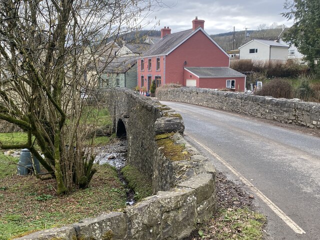
Abergorlech
Abergorlech is a village 8 miles (13 km) to the north-west of Llandeilo in Carmarthenshire, Wales. It lies on the River Cothi on the B4310 road, between...

Talley Lakes
Upper Talley Lake (Welsh: Llyn Talyllychau Uchaf) and Lower Talley Lake (Welsh: Llyn Talyllychau Isaf) are two small lakes immediately north of the village...

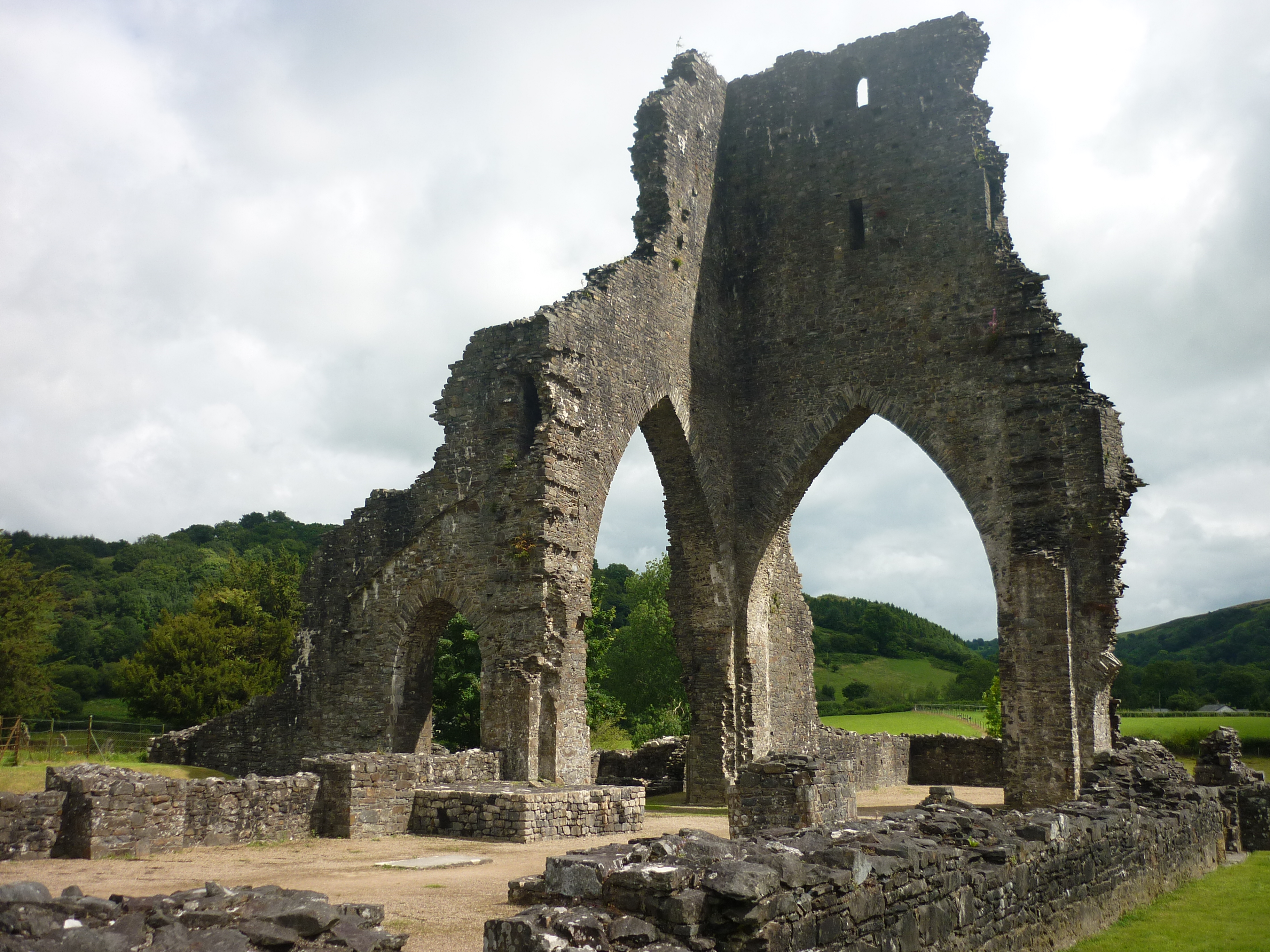
Talley Abbey
Talley Abbey (Welsh: Abaty Talyllychau) is a ruined former monastery of the Premonstratensians ("White Canons") in the village of Talley in Carmarthenshire...

Llanfihangel Rhos-y-Corn
Llanfihangel Rhos-y-Corn is a sparsely populated community of Carmarthenshire, Wales. The population of the community taken at the 2011 census was 468...
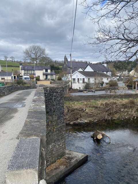
Talley
Talley (Welsh: Talyllychau, historically Tal y Llychau) is a village and community in Carmarthenshire, Wales.The population taken at the 2011 census was...
Edwinsford
Edwinsford is a small hamlet situated about the historic Edwinsford Estate and fishery on the river Cothi, a tributary of the River Tywi, in Carmarthenshire...
Llansawel
Llansawel is a village and community in Carmarthenshire, Wales, about ten miles north of Llandeilo. It covers an area of 4,079 hectares (15.75 sq mi)....

Carmarthen East and Dinefwr (Senedd constituency)
Carmarthen East and Dinefwr (Welsh: Dwyrain Caerfyrddin a Dinefwr) is a constituency of the Senedd. It elects one Member of the Senedd by the first past...
Nearby Amenities
Located within 500m of 51.971169,-4.0562005Have you been to Allt Beili-bedw?
Leave your review of Allt Beili-bedw below (or comments, questions and feedback).