Allt yr Hîl

Wood, Forest in Carmarthenshire

Wales

Allt yr Hîl

Old Milestone on B4300, Golden Grove There is the remains of an OS rivet on the top of the stone. 

Inscription reads:
FROM / Carmarthen / 12 Miles / To / Llandilo / 2

Milestone Society National ID: CAM_CMLO12
Old Milestone on B4300, Golden Grove Credit: Kirstie Hackett

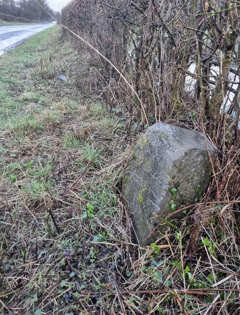
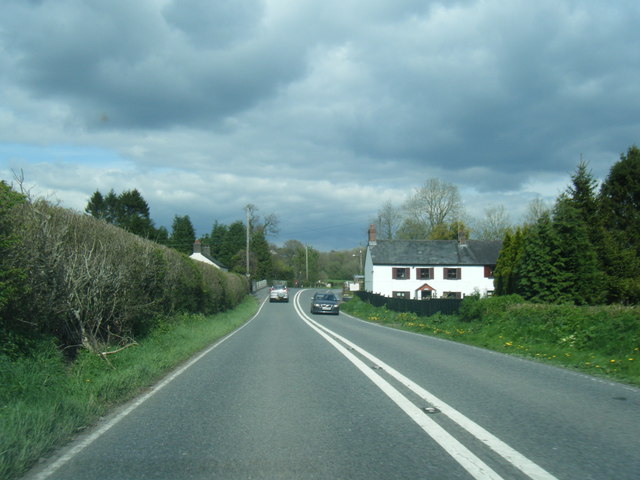
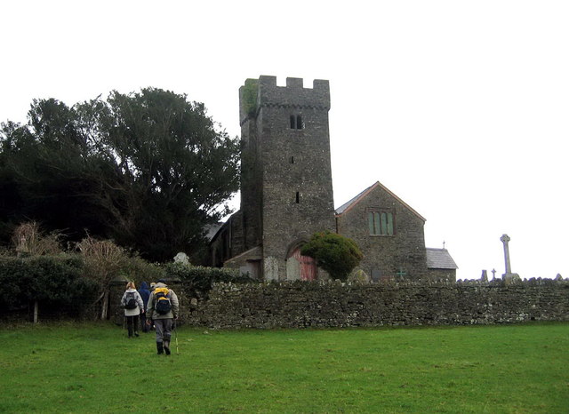
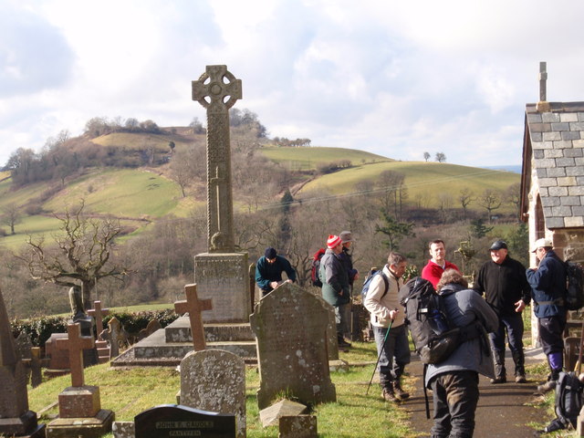
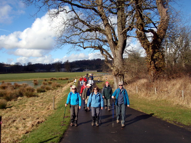
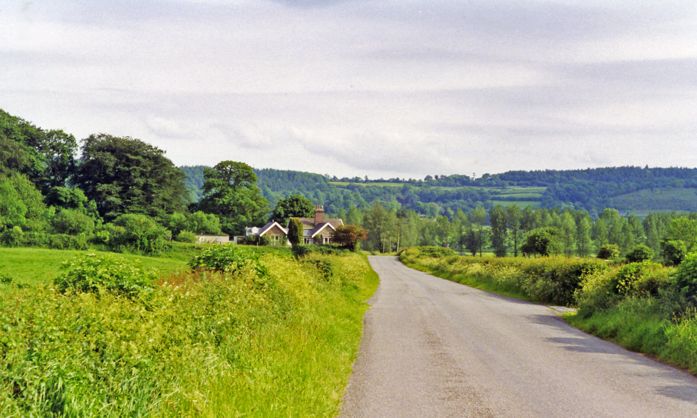
Allt yr Hîl, located in Carmarthenshire, Wales, is a stunning wood and forest area that offers a tranquil and picturesque escape for nature lovers. Covering an area of approximately 500 acres, this enchanting woodland is renowned for its diverse range of plant and animal species.

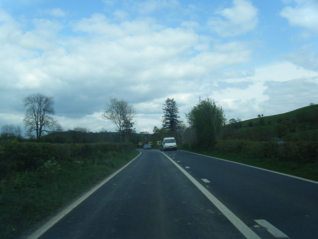
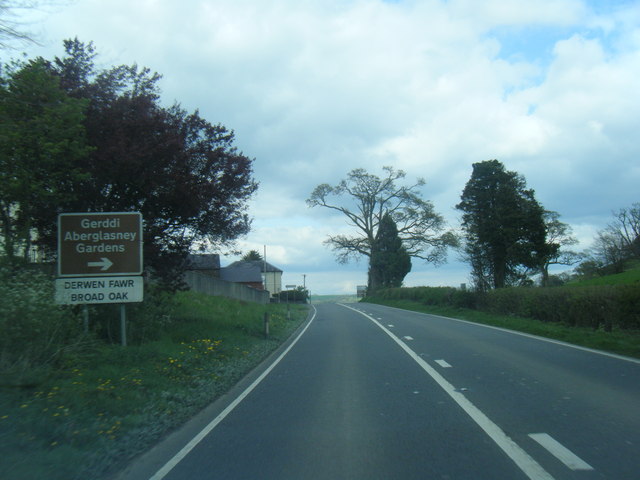
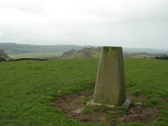
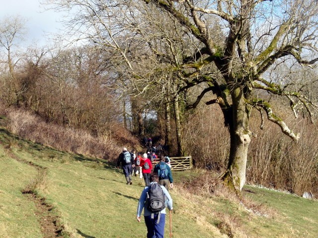
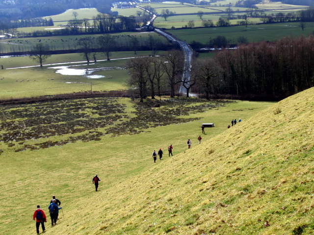
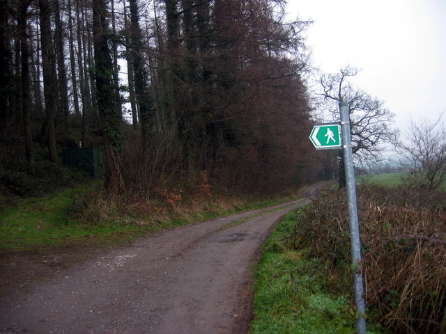
The forest is predominantly composed of native broadleaf trees, including oak, birch, and ash, creating a rich and verdant landscape. A network of well-maintained footpaths and trails winds through the woods, allowing visitors to explore and appreciate its natural beauty. These paths offer breathtaking views of the surrounding countryside, adding to the allure of the location.

Allt yr Hîl is also home to a variety of wildlife, making it a haven for birdwatchers and wildlife enthusiasts. Species such as red kites, buzzards, and woodpeckers can often be spotted soaring through the treetops or perched on branches. The forest floor is inhabited by a diverse range of small mammals, including badgers, foxes, and rabbits.

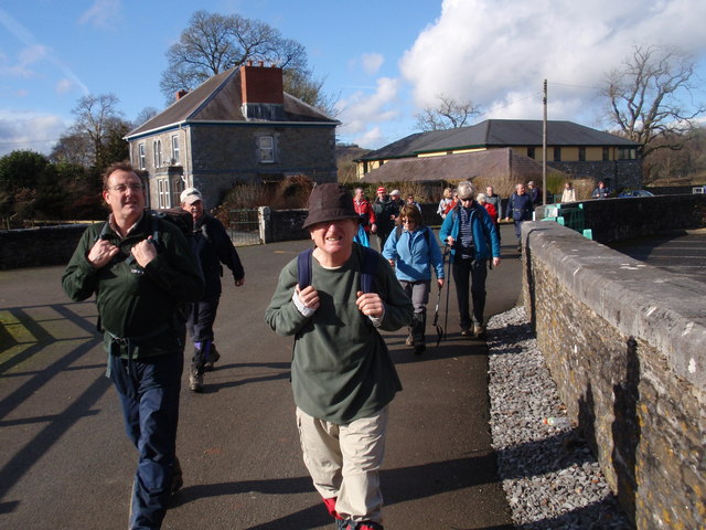
This woodland gem is not only a haven for wildlife but also a popular destination for outdoor activities. Many visitors enjoy hiking, cycling, and horse riding through the forest, taking advantage of the well-marked trails. Picnic areas and viewpoints are scattered throughout the site, providing the perfect opportunity for a peaceful break or a spot of birdwatching.

Overall, Allt yr Hîl offers an idyllic retreat for those seeking solace in nature, with its ancient trees, abundant wildlife, and breathtaking scenery.

If you have any feedback on the listing, please let us know in the comments section below.

Allt yr Hîl Images

Images are sourced within 2km of 51.877374/-4.0519459 or Grid Reference SN5821. Thanks to Geograph Open Source API. All images are credited.

Old Milestone on B4300, Golden Grove There is the remains of an OS rivet on the top of the stone. 

Inscription reads:
FROM / Carmarthen / 12 Miles / To / Llandilo / 2

Milestone Society National ID: CAM_CMLO12
Old Milestone on B4300, Golden Grove
There is the remains of an OS rivet on the top of the stone. Inscription reads: FROM / Carmarthen / 12 Miles / To / Llandilo / 2 Milestone Society National ID: CAM_CMLO12
A40 eastbound at Lanlash
Broad Oak village boundary sign
A40 east of Broad Oak
A40 eastbound at Pentrefelin
Ordnance Survey Flush Bracket (880) This OS Flush Bracket (880) can be found on the south west face of the North Lodge of the Golden Grove/Gelli Aur Estate. It was used during the Second Geodetic Levelling of England & Wales (1912-21) Carmarthen - Llandovery Levelling Line. Also the Third Geodetic Levelling of England & Wales (1950-68) Llandovery - Carmarthen Levelling Line. It marks a point 78.4380ft above mean sea level.
Ordnance Survey Flush Bracket (880)
This OS Flush Bracket (880) can be found on the south west face of the North Lodge of the Golden Grove/Gelli Aur Estate. It was used during the Second Geodetic Levelling of England & Wales (1912-21) Carmarthen - Llandovery Levelling Line. Also the Third Geodetic Levelling of England & Wales (1950-68) Llandovery - Carmarthen Levelling Line. It marks a point 78.4380ft above mean sea level.
Gelli Aur Estate, North Lodge South west face of North Lodge.
Gelli Aur Estate, North Lodge
South west face of North Lodge.
Ordnance Survey Flush Bracket (879) This OS Flush Bracket (879) can be found on the north face of Tollgate Cottage. It was used during the Second Geodetic Levelling of England & Wales (1912-21) Carmarthen - Llandovery Levelling Line. Also the Third Geodetic Levelling of England & Wales (1950-68) Llandovery - Carmarthen Levelling Line. It marks a point 80.8050ft above mean sea level.
Ordnance Survey Flush Bracket (879)
This OS Flush Bracket (879) can be found on the north face of Tollgate Cottage. It was used during the Second Geodetic Levelling of England & Wales (1912-21) Carmarthen - Llandovery Levelling Line. Also the Third Geodetic Levelling of England & Wales (1950-68) Llandovery - Carmarthen Levelling Line. It marks a point 80.8050ft above mean sea level.
Approaching site of Golden Grove station, 1993 View southward from Cilsan Bridge, towards former level-crossing over ex-LNWR branch Llandilo (to left) - (to right) Carmarthen, closed 9/9/63.
Approaching site of Golden Grove station, 1993
View southward from Cilsan Bridge, towards former level-crossing over ex-LNWR branch Llandilo (to left) - (to right) Carmarthen, closed 9/9/63.
Eglwys Llangathen Church Cerddwyr yn anelu at Eglwys Llangathen.

Walkers approaching Llangathen Church.
Eglwys Llangathen Church
Cerddwyr yn anelu at Eglwys Llangathen. Walkers approaching Llangathen Church.
Triangulation Pillar (S2119) Broad Oak Secondary Triangulation Pillar carries Flash Bracket S2119 which marks a point 149.964m above mean sea level.
Triangulation Pillar (S2119)
Broad Oak Secondary Triangulation Pillar carries Flash Bracket S2119 which marks a point 149.964m above mean sea level.
Golden Grove railway station (site), Carmarthenshire Opened in 1865 by the 'Llanelly' Railway on the line from Llandeilo to Carmarthen, this station closed in 1963.
View east from former level crossing towards Llandeilo Bridge and Llandeilo. Now a private residence.
Golden Grove railway station (site), Carmarthenshire
Opened in 1865 by the 'Llanelly' Railway on the line from Llandeilo to Carmarthen, this station closed in 1963. View east from former level crossing towards Llandeilo Bridge and Llandeilo. Now a private residence.
Ger / Near Ffarm y Grongar Farm Cerddwyr ger Ffarm Grongar yn mynd i gyfeiriad Plasty Aberglasne.

Walkers near Grongar (trans. circular fort) heading in the direction of Aberglasne Mansion.
Ger / Near Ffarm y Grongar Farm
Cerddwyr ger Ffarm Grongar yn mynd i gyfeiriad Plasty Aberglasne. Walkers near Grongar (trans. circular fort) heading in the direction of Aberglasne Mansion.
Eglwys Llangathen  / Llangathen Church Cerddwyr y tu fas i Eglwys Llangathen. Yn y pellter ar y gorwel mae bryngaer o'r Oes Haearn o'r enw Grongar (<Grongaer).  

Walkers outside Llangathen Church. In the distance on the horizon is an Iron Age hillfort known as Grongar < Grongaer (trans. circular fort).
Eglwys Llangathen / Llangathen Church
Cerddwyr y tu fas i Eglwys Llangathen. Yn y pellter ar y gorwel mae bryngaer o'r Oes Haearn o'r enw Grongar (<Grongaer). Walkers outside Llangathen Church. In the distance on the horizon is an Iron Age hillfort known as Grongar < Grongaer (trans. circular fort).
Ger / Near Cilsan Bridge Cerddwyr yn mynd i lawr y waered i ymuno a&amp;#039;r heol. Yn y pellter gwelir Pont Cilsan sy&amp;#039;n rhychwantu Afon Tywi.

Walkers descending the hill towards the road. Visible in the distance is Cilsan Bridge which spans the Tywi River.
Ger / Near Cilsan Bridge
Cerddwyr yn mynd i lawr y waered i ymuno a'r heol. Yn y pellter gwelir Pont Cilsan sy'n rhychwantu Afon Tywi. Walkers descending the hill towards the road. Visible in the distance is Cilsan Bridge which spans the Tywi River.
Heol Ffarm y Wern Farm Road Heol yn arwain at Ffarm y Wern a Ffarm Ro Wen. 

Access load leading to Wern Farm (trans.fen) and Ro wen Farm (trans. white gravel).
Heol Ffarm y Wern Farm Road
Heol yn arwain at Ffarm y Wern a Ffarm Ro Wen. Access load leading to Wern Farm (trans.fen) and Ro wen Farm (trans. white gravel).
Ffarm Gelli Aur Farm Cerddwyr yn mynd heibio i Ffarm Gelli Aur (Ty Isaf gynt) a oedd yn ffarm gartref i Blasty Gelli Aur gerllaw. Yn ystod y 1950au fe ddaeth yn goleg amaethyddol gyda&amp;#039;r myfyrwyr yn lletya yn y plas. Er 2004 mae&amp;#039;r campws wedi&amp;#039;i leoli o amgygylch y ffarm. 

Walkers passing Gelli Aur Farm (formerly Ty Isaf Farm). It was once home farm to Golden Grove Mansion. During the 1950s it became an agricultural college with accommodation for students at the mansion. Since 2004 the whole campus is  located at the farm.
Ffarm Gelli Aur Farm
Cerddwyr yn mynd heibio i Ffarm Gelli Aur (Ty Isaf gynt) a oedd yn ffarm gartref i Blasty Gelli Aur gerllaw. Yn ystod y 1950au fe ddaeth yn goleg amaethyddol gyda'r myfyrwyr yn lletya yn y plas. Er 2004 mae'r campws wedi'i leoli o amgygylch y ffarm. Walkers passing Gelli Aur Farm (formerly Ty Isaf Farm). It was once home farm to Golden Grove Mansion. During the 1950s it became an agricultural college with accommodation for students at the mansion. Since 2004 the whole campus is located at the farm.
Heol Coleg Gelli Aur College Road Cerddwyr yn dilyn heol, hefyd yn llwybr cyhoeddus, sy&amp;#039;n arwain i Goleg Amaethyddol Gelli Aur.

Walkers following the access road, also a public footpath, to Gelli Aur Agricultural College.
Heol Coleg Gelli Aur College Road
Cerddwyr yn dilyn heol, hefyd yn llwybr cyhoeddus, sy'n arwain i Goleg Amaethyddol Gelli Aur. Walkers following the access road, also a public footpath, to Gelli Aur Agricultural College.
Show me another place!

Allt yr Hîl is located at Grid Ref: SN5821 (Lat: 51.877374, Lng: -4.0519459)

Unitary Authority: Carmarthenshire

Police Authority: Dyfed Powys

What 3 Words

///microfilm.overtones.sugars. Near Llangathen, Carmarthenshire

Related Wikis

Llangathen

Llangathen () is a village and community located in Carmarthenshire, Wales. The population taken at the 2011 census was 507.The parish church of St Cathen...

Aberglasney

Aberglasney House and Gardens is a medieval house and gardens set in the Tywi valley in the parish of Llangathen, Carmarthenshire, West Wales. It is owned...

Cathinog Hundred

Cathinog (also spelt Catheiniog, Cetheiniog) was a hundred, a geographic division, in the traditional county of Carmarthenshire, Wales. Its name derives...

Golden Grove railway station

Golden Grove railway station served the estate of Golden Grove, Carmarthenshire, Wales from 1865 to 1963 on the Llanelly Railway. == History == The station...

Ffynnon-ddrain

Ffynnon-ddrain is a settlement in Carmarthenshire, Wales, one mile north-west of the town of Carmarthen, 24 miles north-west of the major city of Swansea...

Allt y wern

Allt y Wern is a Site of Special Scientific Interest (SSSI) in the community of Llangathen in Carmarthenshire, Wales. The site is a semi-natural broadleaved...

Battle of Cadfan

The Battle of Cadfan was fought between English and Welsh forces in 1257. The battle consisted of two military engagements; one at Coed Llathen and the...

Allt y Gaer

Allt y Gaer (Welsh for 'hill of the fort') is a Site of Special Scientific Interest (SSSI) in Llangathen community, Carmarthenshire, Wales. It is a 3.5ha...

Nearby Amenities

Located within 500m of 51.877374,-4.0519459
Llangathen
Place: village
Wikidata: Q6661441
Lat/Long: 51.8803524/-4.057221
Addr City: Llangathen
Addr Country: GB
Addr Housename: Berllan-dywyll
Addr Postcode: SA32 8QG
Lat/Long: 51.8781923/-4.0571182
Addr City: Llangathen
Addr Country: GB
Addr Housename: Golden Grove House
Addr Postcode: SA32 8QG
Lat/Long: 51.8777941/-4.0531387
Addr City: Llangathen
Addr Country: GB
Addr Postcode: SA32 8QE
Lat/Long: 51.8806742/-4.0550696
The data included in this document is from www.openstreetmap.org. The data is made available under ODbL.

Have you been to Allt yr Hîl?

Leave your review of Allt yr Hîl below (or comments, questions and feedback).