Orchard Covert
Wood, Forest in Cardiganshire
Wales
Orchard Covert
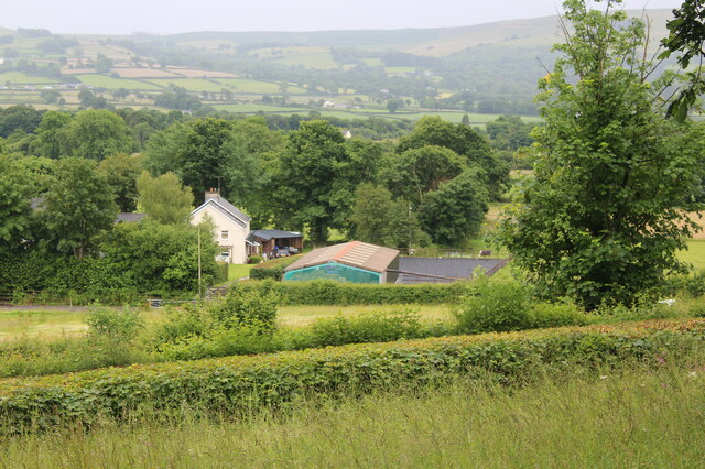
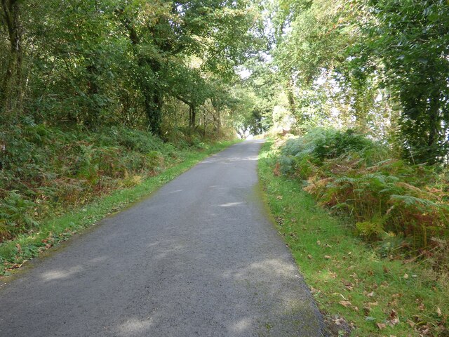
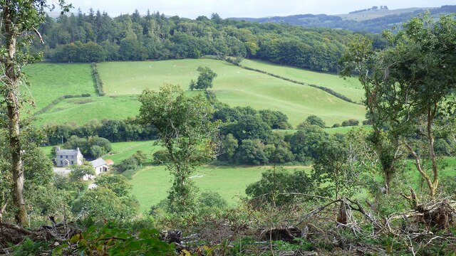
Orchard Covert is a picturesque woodland area located in the county of Cardiganshire, Wales. Covering an area of approximately 50 acres, it is a popular destination for nature enthusiasts and those seeking tranquility amidst the beauty of nature.
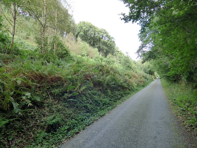
The woodland is characterized by a diverse range of tree species, including oak, ash, beech, and birch, among others. The dense canopy created by these trees provides a cool and shaded environment, making it an ideal retreat during hot summer months. The forest floor is covered with a rich carpet of moss, ferns, and wildflowers, adding to the enchanting ambiance of the covert.
The woodland is home to a variety of wildlife, including several species of birds such as woodpeckers, owls, and thrushes. Squirrels can be spotted darting between the trees, while rabbits and deer occasionally emerge from the undergrowth. The presence of a small stream running through the covert further enhances its biodiversity, attracting amphibians and small aquatic creatures.
Visitors can explore the woodland through a network of well-maintained footpaths, allowing them to fully immerse themselves in the natural surroundings. A picnic area near the entrance offers a perfect spot for visitors to relax and enjoy the peaceful ambiance.
Orchard Covert is also of historical significance, with remnants of an ancient orchard still visible within its boundaries. These remnants serve as a reminder of the area's past agricultural significance and add an element of historical charm to the woodland.
Overall, Orchard Covert in Cardiganshire is a haven of natural beauty, offering visitors a chance to escape the hustle and bustle of everyday life and immerse themselves in the serenity of a woodland sanctuary.
If you have any feedback on the listing, please let us know in the comments section below.
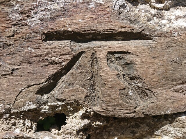
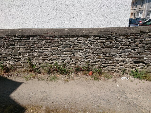
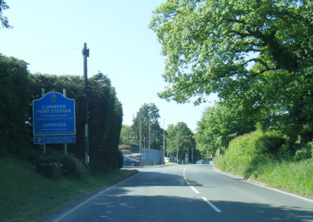
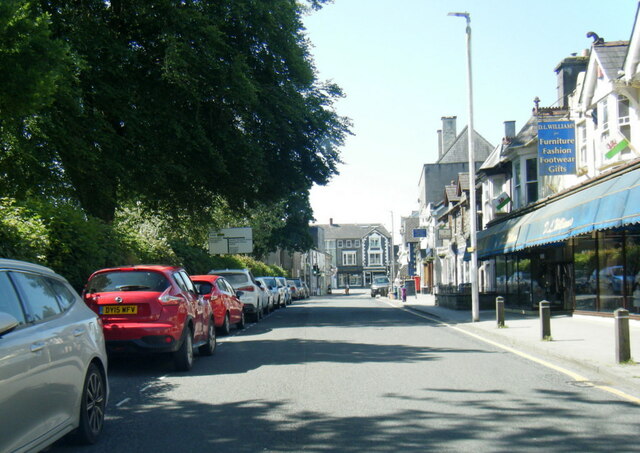
Orchard Covert Images
Images are sourced within 2km of 52.122064/-4.1005529 or Grid Reference SN5649. Thanks to Geograph Open Source API. All images are credited.


Orchard Covert is located at Grid Ref: SN5649 (Lat: 52.122064, Lng: -4.1005529)
Unitary Authority: Ceredigion
Police Authority: Dyfed Powys
What 3 Words
///pony.retraced.tones. Near Lampeter, Ceredigion
Nearby Locations
Related Wikis

Falcondale
Falcondale (Welsh: Glyn Hebog) is a hamlet in the community of Lampeter, Ceredigion, Wales, and occupies a low bluff overlooking the Nant Creuddyn north...
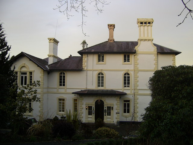
Falcondale House
Falcondale House is a Grade II listed former country house, now the Falcondale Mansion Hotel, which is situated some 1 mile north-west of Lampeter, Ceredigion...
Maestir
Maestir is a hamlet in the community of Llanwnnen, Ceredigion, Wales, which is 59.9 miles (96.3 km) from Cardiff and 175.5 miles (282.4 km) from London...

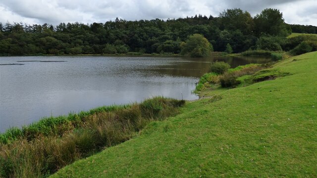
Falcondale Lake
Falcondale Lake is a man-made lake in the hamlet of Falcondale near Lampeter in Ceredigion It was created as part of the landscaping for Falcondale House...

Lampeter
Lampeter (; Welsh: Llanbedr Pont Steffan (formal); Llambed (colloquial)) is a town, community and electoral ward in Ceredigion, Wales, at the confluence...

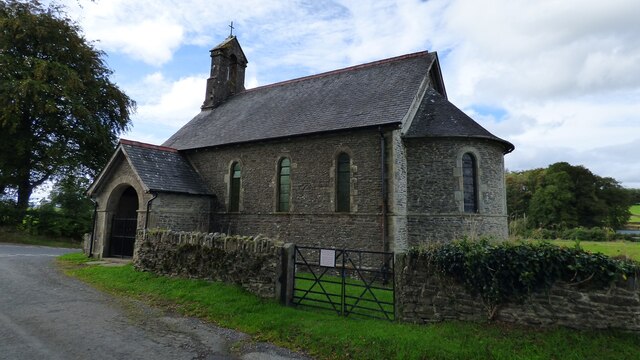
St Peter's Church, Lampeter
St Peter's Church, Lampeter, is the Church in Wales parish church for the University town of Lampeter. It is a Grade II listed building, and has been described...

Church of Our Lady of Mount Carmel, Lampeter
The Church of Our Lady of Mount Carmel is a Roman Catholic church located in the university town of Lampeter in Ceredigion, Wales. Constructed by the London...

Lampeter Town Hall
Lampeter Town Hall (Welsh: Neuadd y Dref Llanbedr Pont Steffan) is a municipal structure in the High Street, Lampeter, Wales. The town hall, which was...
Nearby Amenities
Located within 500m of 52.122064,-4.1005529Have you been to Orchard Covert?
Leave your review of Orchard Covert below (or comments, questions and feedback).