Falcondale
Settlement in Cardiganshire
Wales
Falcondale
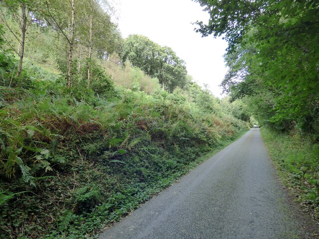
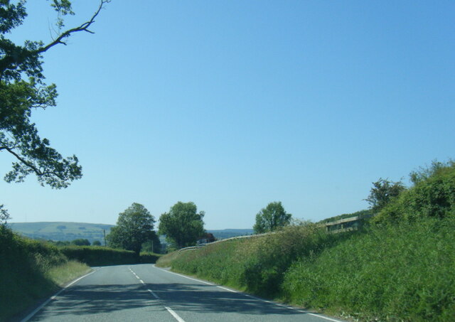
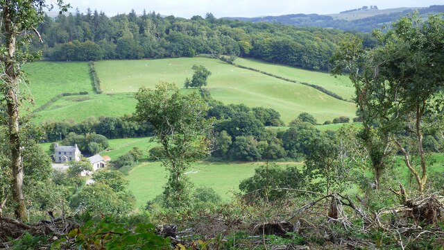
Falcondale is a small rural village located in the county of Cardiganshire, Wales. Situated in the picturesque Teifi Valley, it is surrounded by rolling hills and lush green countryside, offering a peaceful and idyllic setting for its residents and visitors alike.
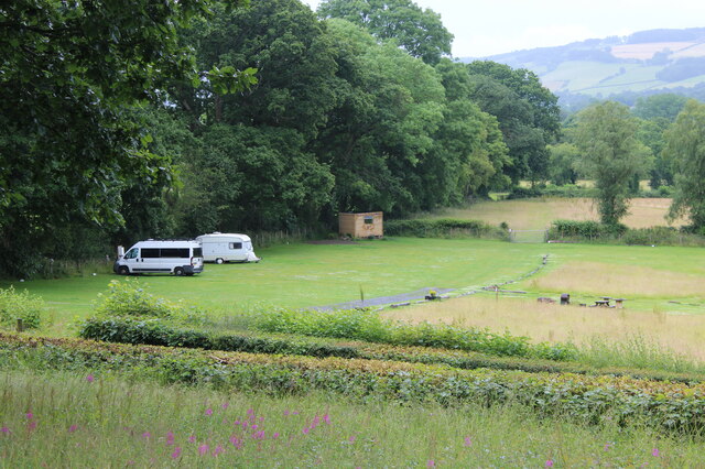
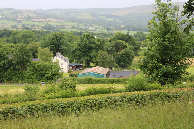
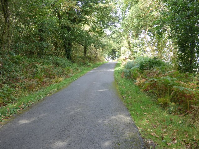
The village is known for its stunning natural beauty and is a popular destination for nature lovers, hikers, and outdoor enthusiasts. The nearby Falcondale Woods provide ample opportunities for walking, cycling, and exploring the local flora and fauna. The Teifi River, which runs through the village, offers scenic spots for fishing and boating.
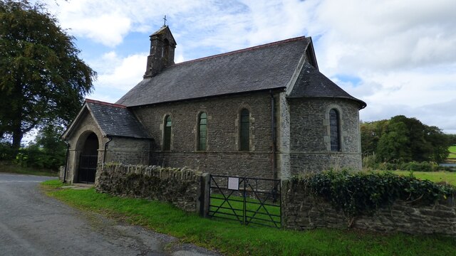
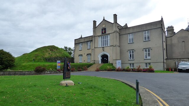
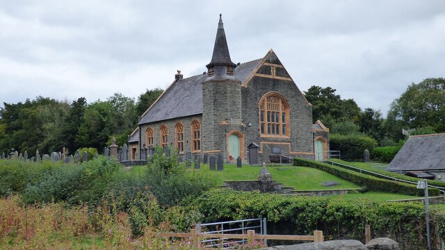
Despite its small size, Falcondale has a rich history and boasts several historical landmarks. The historic St. Mary's Church, with its striking architecture and beautiful stained glass windows, dates back to the 12th century and attracts visitors interested in its heritage. There are also remnants of an ancient castle nearby, which adds to the village's historical charm.
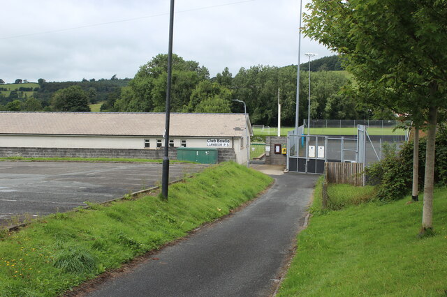
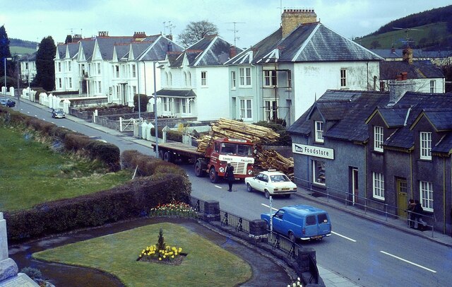
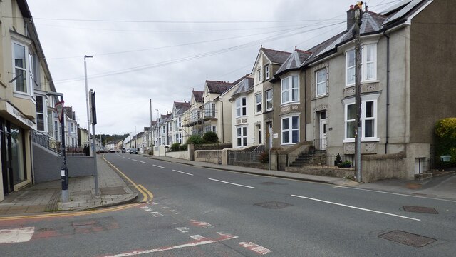
Falcondale is a close-knit community with a friendly and welcoming atmosphere. It has a small but vibrant village center, with a few local shops, cafes, and a pub, offering a range of amenities for residents and tourists. The village also hosts various community events throughout the year, such as fairs and festivals, bringing the community together.
Overall, Falcondale is a picturesque village that offers a serene retreat from the hustle and bustle of city life. Its natural beauty, historical significance, and tight-knit community make it a hidden gem in the heart of Cardiganshire.
If you have any feedback on the listing, please let us know in the comments section below.
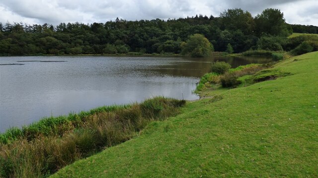
Falcondale Images
Images are sourced within 2km of 52.121703/-4.096342 or Grid Reference SN5649. Thanks to Geograph Open Source API. All images are credited.


Falcondale is located at Grid Ref: SN5649 (Lat: 52.121703, Lng: -4.096342)
Unitary Authority: Ceredigion
Police Authority: Dyfed Powys
What 3 Words
///obstruct.curries.attitudes. Near Lampeter, Ceredigion
Nearby Locations
Related Wikis
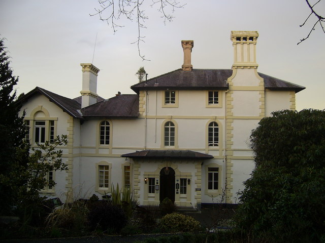
Falcondale House
Falcondale House is a Grade II listed former country house, now the Falcondale Mansion Hotel, which is situated some 1 mile north-west of Lampeter, Ceredigion...

Falcondale
Falcondale (Welsh: Glyn Hebog) is a hamlet in the community of Lampeter, Ceredigion, Wales, and occupies a low bluff overlooking the Nant Creuddyn north...

Falcondale Lake
Falcondale Lake is a man-made lake in the hamlet of Falcondale near Lampeter in Ceredigion It was created as part of the landscaping for Falcondale House...

Lampeter
Lampeter (; Welsh: Llanbedr Pont Steffan (formal); Llambed (colloquial)) is a town, community and electoral ward in Ceredigion, Wales, at the confluence...

St Peter's Church, Lampeter
St Peter's Church, Lampeter, is the Church in Wales parish church for the University town of Lampeter. It is a Grade II listed building, and has been described...
Maestir
Maestir is a hamlet in the community of Llanwnnen, Ceredigion, Wales, which is 59.9 miles (96.3 km) from Cardiff and 175.5 miles (282.4 km) from London...

Church of Our Lady of Mount Carmel, Lampeter
The Church of Our Lady of Mount Carmel is a Roman Catholic church located in the university town of Lampeter in Ceredigion, Wales. Constructed by the London...

Lampeter Town Hall
Lampeter Town Hall (Welsh: Neuadd y Dref Llanbedr Pont Steffan) is a municipal structure in the High Street, Lampeter, Wales. The town hall, which was...
Nearby Amenities
Located within 500m of 52.121703,-4.096342Have you been to Falcondale?
Leave your review of Falcondale below (or comments, questions and feedback).