Burnham Green
Settlement in Hertfordshire East Hertfordshire
England
Burnham Green
Burnham Green is a small village located in the county of Hertfordshire, England. It is situated approximately 30 miles north of London, making it a popular residential area for commuters working in the capital. The village is part of the civil parish of Welwyn, encompassing a total area of around 2.5 square miles.
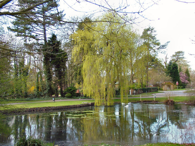
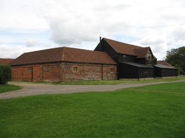
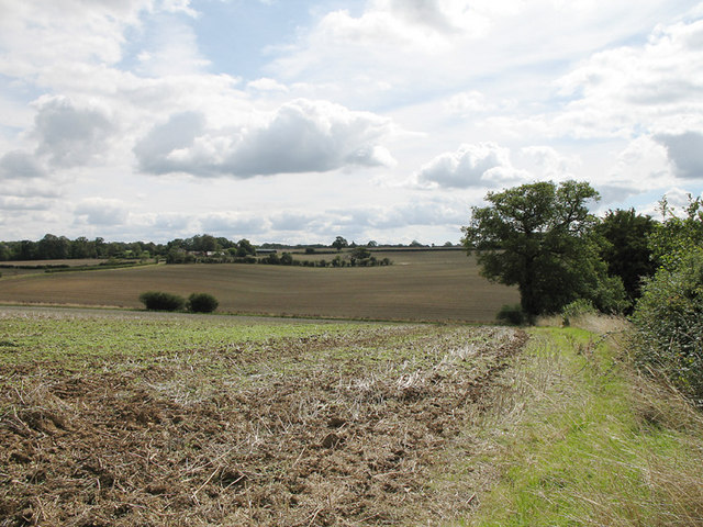
This picturesque village is known for its tranquil and rural setting, surrounded by beautiful countryside and farmland. The landscape is dotted with charming cottages and period houses, giving the area a traditional and quaint feel. The village is well-preserved and has managed to maintain its historic character, with some buildings dating back to the 16th century.
Burnham Green offers a range of amenities to its residents, including a local primary school, a post office, and a village hall. There are also several pubs and restaurants, providing a social hub for the community. The village is known for its strong sense of community spirit, with regular events and activities organized throughout the year.
The village is conveniently located near the A1(M) motorway, providing easy access to nearby towns and cities. Additionally, there are several bus routes passing through Burnham Green, connecting it to surrounding areas. The nearby Welwyn North railway station offers regular train services to London and other major cities.
Overall, Burnham Green offers a peaceful and idyllic lifestyle for its residents, combining the charm of a rural village with the convenience of nearby transport links.
If you have any feedback on the listing, please let us know in the comments section below.
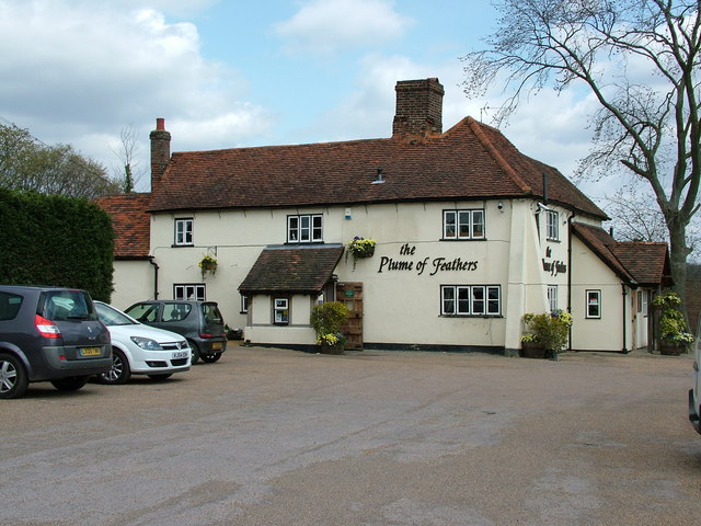
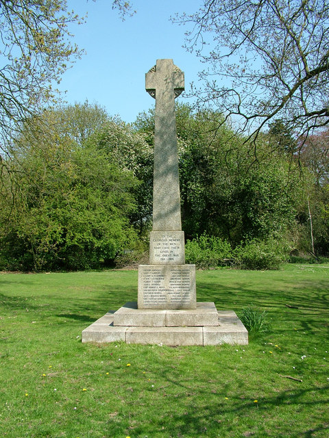
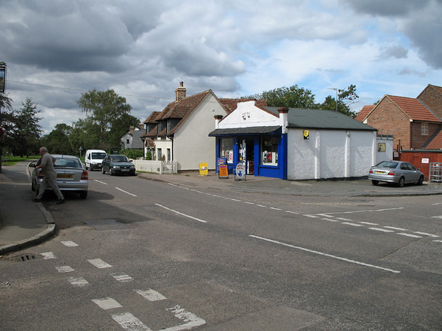
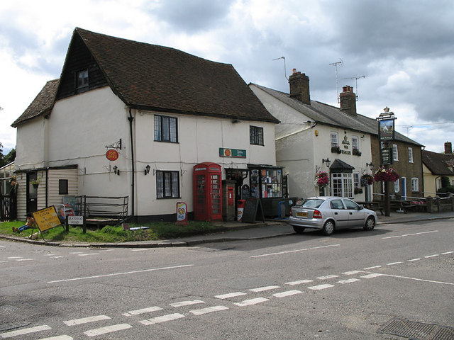
Burnham Green Images
Images are sourced within 2km of 51.834133/-0.169918 or Grid Reference TL2616. Thanks to Geograph Open Source API. All images are credited.


Burnham Green is located at Grid Ref: TL2616 (Lat: 51.834133, Lng: -0.169918)
Administrative County: Hertfordshire
District: East Hertfordshire
Police Authority: Hertfordshire
What 3 Words
///intent.deputy.skirt. Near Datchworth, Hertfordshire
Nearby Locations
Related Wikis

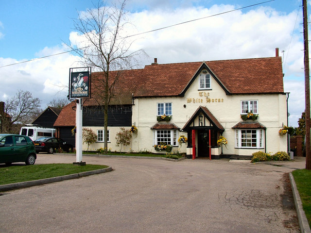
The White Horse, Burnham Green
The White Horse is a grade II listed public house in Whitehorse Lane, Burnham Green, in the parish of Datchworth in Hertfordshire. The building dates from...

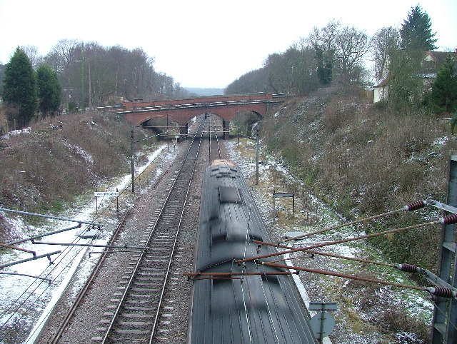
Welwyn Tunnel rail crash
The Welwyn Tunnel rail crash took place in Welwyn North Tunnel, north of Welwyn (now Welwyn North) station on the Great Northern Railway, on 9 June 1866...
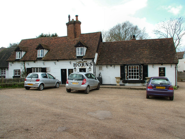
The Horns, Bull's Green
The Horns is a public house in Datchworth, Hertfordshire, England. It is situated on Bramfield Road in Bull's Green, a hamlet in the parish of Datchworth...
Broadway Malyan
Broadway Malyan is a global architecture, urbanism and design practice. It was established in 1958 by architects Cyril Broadway and John Malyan. Among...
Nearby Amenities
Located within 500m of 51.834133,-0.169918Have you been to Burnham Green?
Leave your review of Burnham Green below (or comments, questions and feedback).