Little Hillfoot Wood
Wood, Forest in Hertfordshire Welwyn Hatfield
England
Little Hillfoot Wood
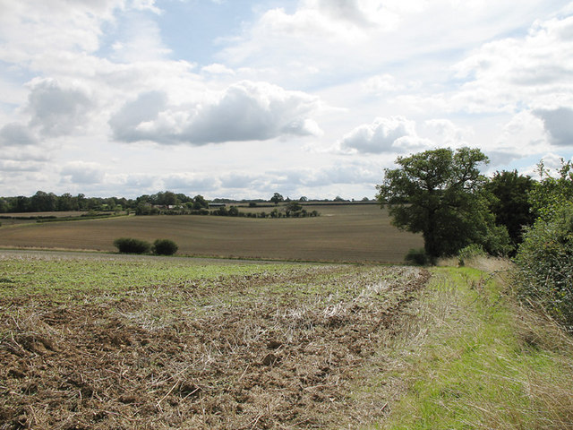
Little Hillfoot Wood is a picturesque woodland located in Hertfordshire, England. Covering an area of approximately 30 hectares, this woodland is a haven for nature enthusiasts and those seeking solace in a tranquil environment. The wood is situated on the outskirts of the small village of Hillfoot End, near the town of Watford.
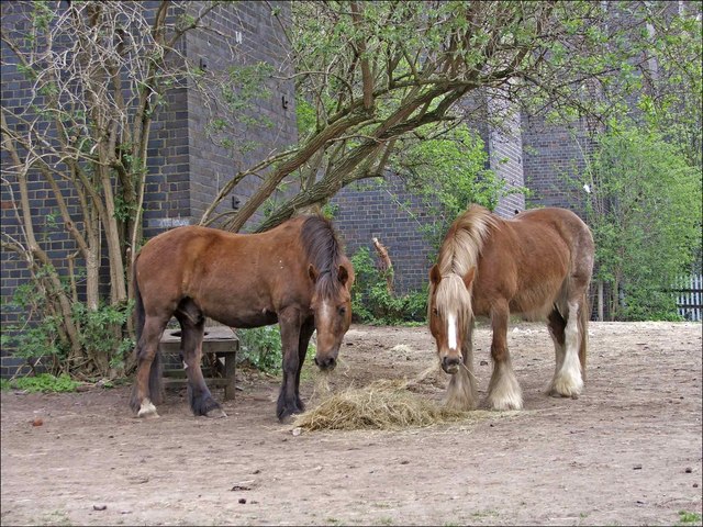
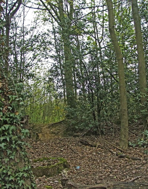
Little Hillfoot Wood is primarily composed of broadleaf trees, including oak, beech, and ash, which create a dense canopy overhead. The forest floor is adorned with a rich carpet of wildflowers, ferns, and mosses. The wood is also home to various wildlife species, such as deer, foxes, and a wide variety of bird species that nest and feed in the area.
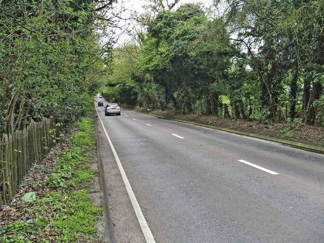
The wood features a network of footpaths and trails that wind through its enchanting landscape, allowing visitors to explore its beauty at their leisure. These paths offer breathtaking views of the surrounding countryside, with glimpses of rolling hills and open fields.
Little Hillfoot Wood is particularly popular during the springtime when the forest comes alive with vibrant colors and the melodious songs of birds. The wood is also a favorite destination for families and nature-lovers, who can enjoy picnics, birdwatching, and photography in its serene atmosphere.
Managed by a local conservation organization, Little Hillfoot Wood is a protected area, ensuring its preservation for future generations to enjoy. It serves as a valuable habitat for both flora and fauna, contributing to the biodiversity of the region.
Overall, Little Hillfoot Wood offers a peaceful retreat from the bustle of daily life, providing a sanctuary for nature-lovers and a glimpse into the natural beauty of Hertfordshire.
If you have any feedback on the listing, please let us know in the comments section below.
Little Hillfoot Wood Images
Images are sourced within 2km of 51.829835/-0.17054736 or Grid Reference TL2616. Thanks to Geograph Open Source API. All images are credited.

Little Hillfoot Wood is located at Grid Ref: TL2616 (Lat: 51.829835, Lng: -0.17054736)
Administrative County: Hertfordshire
District: Welwyn Hatfield
Police Authority: Hertfordshire
What 3 Words
///only.hedge.moss. Near Datchworth, Hertfordshire
Nearby Locations
Related Wikis

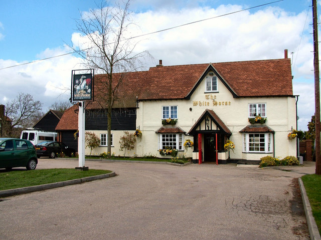
The White Horse, Burnham Green
The White Horse is a grade II listed public house in Whitehorse Lane, Burnham Green, in the parish of Datchworth in Hertfordshire. The building dates from...

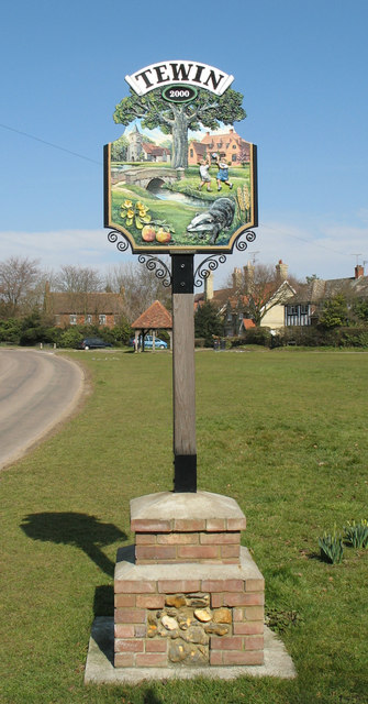
Tewin Orchard and Hopkyns Wood
Tewin Orchard and Hopkyns Wood is a 4.3-hectare (11-acre) nature reserve in Tewin in Hertfordshire. It is managed by the Herts and Middlesex Wildlife Trust...

Welwyn Tunnel rail crash
The Welwyn Tunnel rail crash took place in Welwyn North Tunnel, north of Welwyn (now Welwyn North) station on the Great Northern Railway, on 9 June 1866...

Digswell
Digswell is an ancient village and former parish in the English county of Hertfordshire which is recorded in the 1086 Domesday Book. The population of...
Nearby Amenities
Located within 500m of 51.829835,-0.17054736Have you been to Little Hillfoot Wood?
Leave your review of Little Hillfoot Wood below (or comments, questions and feedback).