Turtlow Plantation
Wood, Forest in Cambridgeshire South Cambridgeshire
England
Turtlow Plantation
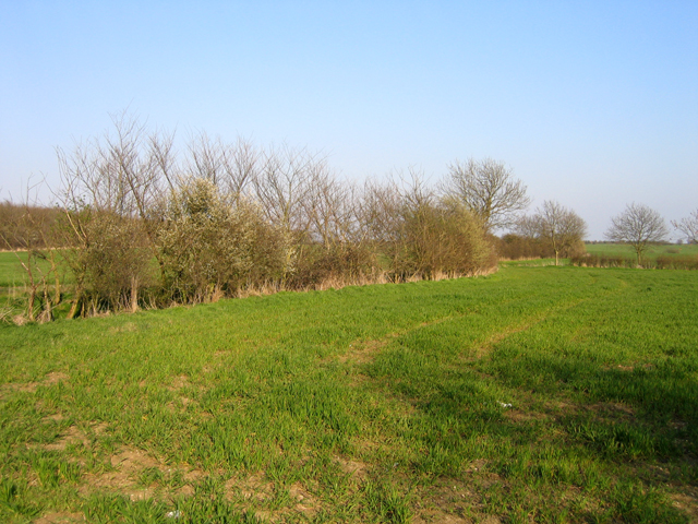
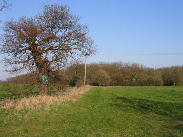
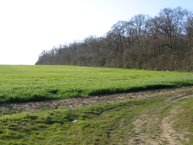
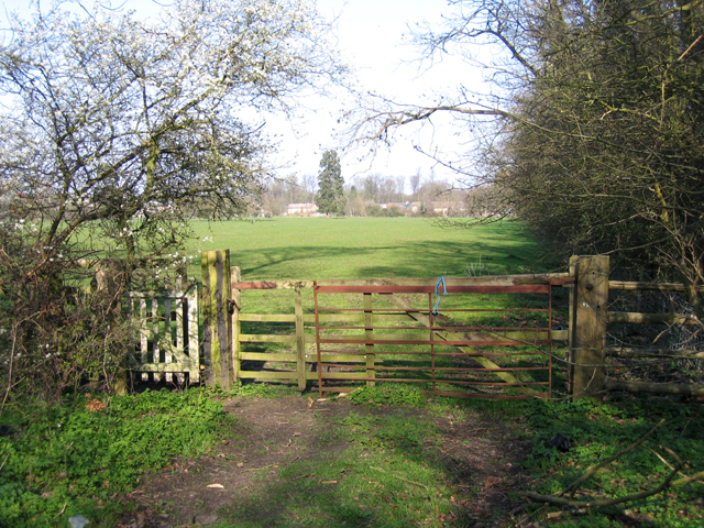
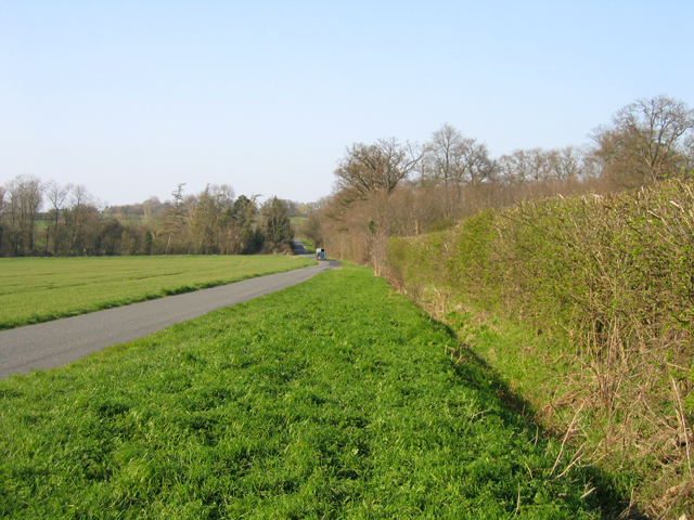
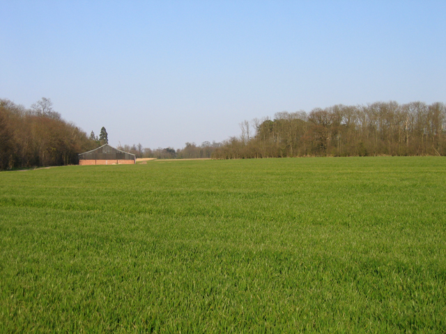
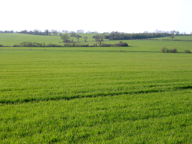
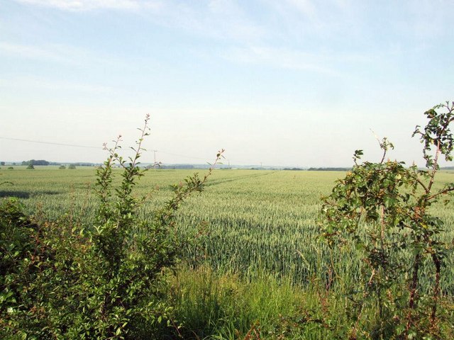
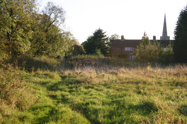
Turtlow Plantation is a scenic woodland area situated in Cambridgeshire, England. Covering an extensive area, it is known for its lush greenery and diverse range of plant and animal species. The plantation is nestled within the picturesque countryside, offering visitors a tranquil escape from the bustling city life.
The woodland is predominantly comprised of deciduous trees, including oak, birch, and beech, which provide a dense canopy that filters sunlight and creates a cool and refreshing atmosphere. The forest floor is adorned with a variety of wildflowers, ferns, and mosses, adding to the area's natural charm.
Turtlow Plantation is home to numerous wildlife species, making it a haven for nature enthusiasts and birdwatchers. Visitors can spot an array of bird species, such as woodpeckers, owls, and finches, as well as small mammals like foxes, squirrels, and badgers. The diverse ecosystem within the plantation also supports an array of insects, including butterflies and dragonflies.
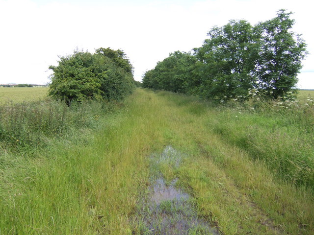
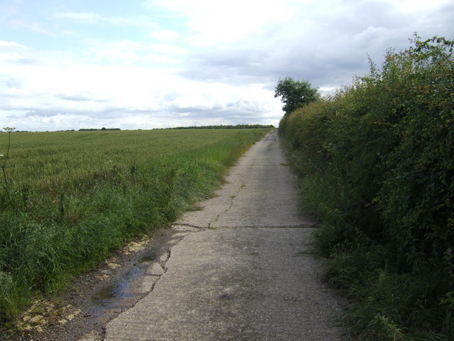
The plantation offers several walking trails and paths that wind through the woods, allowing visitors to explore the natural beauty at their own pace. These trails are well-maintained and provide informative signposts, educating visitors about the flora and fauna they may encounter along the way.
Turtlow Plantation is not only a sanctuary for wildlife but also serves as an important carbon sink, playing a crucial role in mitigating climate change. The plantation is managed sustainably, ensuring the preservation of its natural beauty for future generations to enjoy.
Overall, Turtlow Plantation is a captivating woodland retreat that offers a serene environment and an opportunity to connect with nature in the heart of Cambridgeshire.
If you have any feedback on the listing, please let us know in the comments section below.
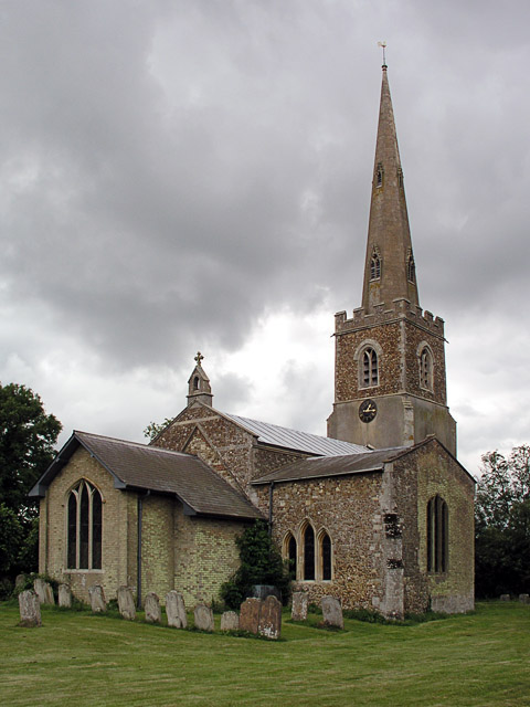
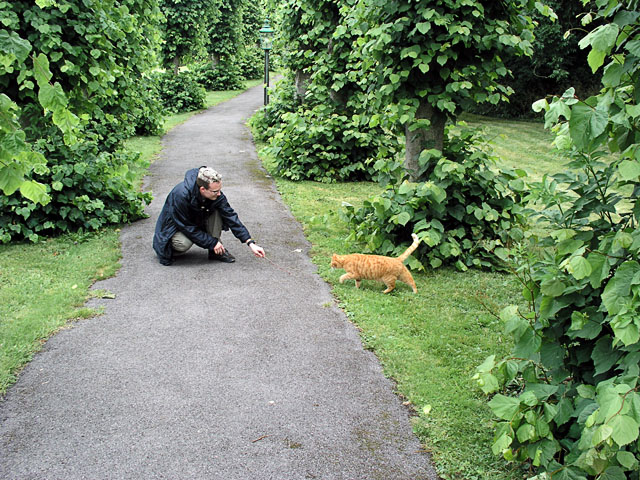
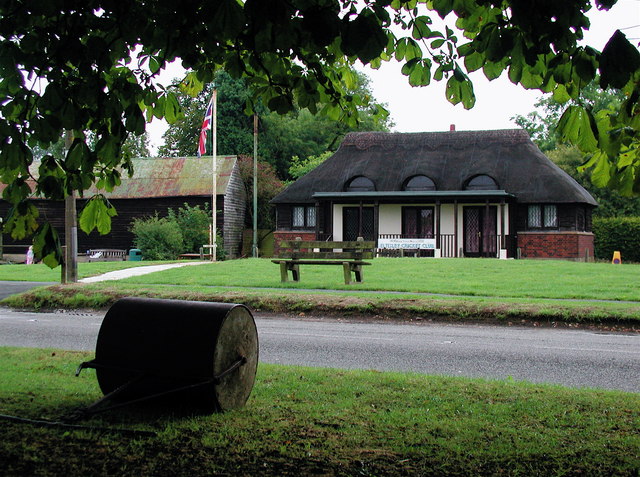
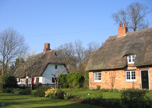
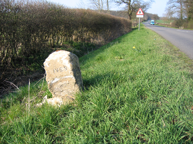
Turtlow Plantation Images
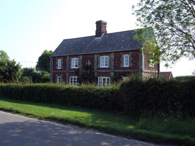
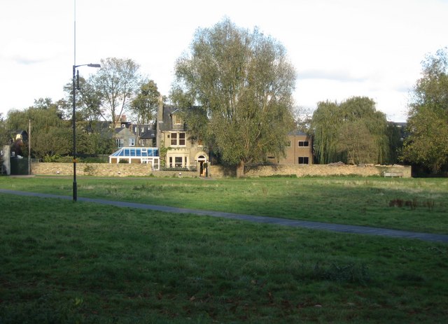
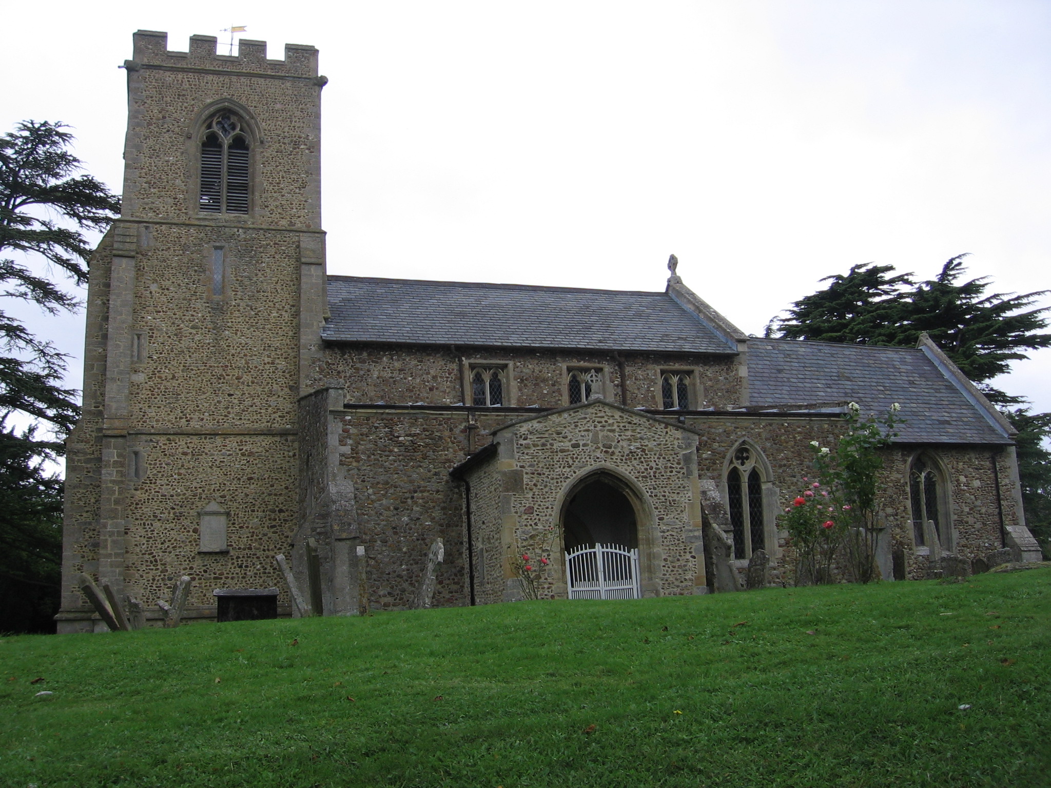
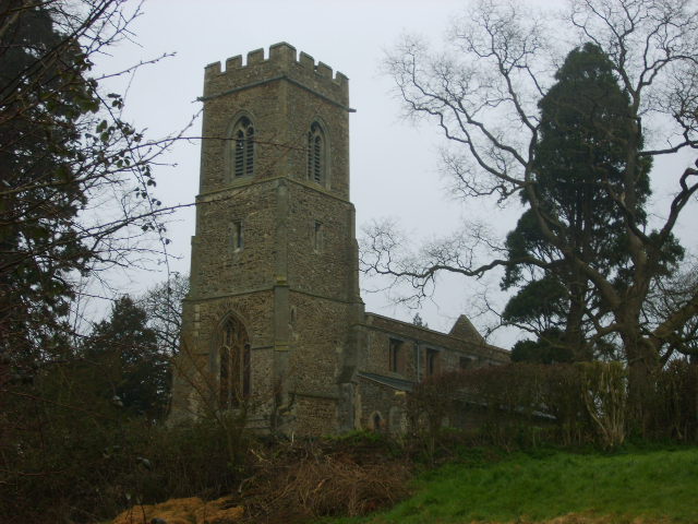
Images are sourced within 2km of 52.21511/-0.15471425 or Grid Reference TL2659. Thanks to Geograph Open Source API. All images are credited.

Turtlow Plantation is located at Grid Ref: TL2659 (Lat: 52.21511, Lng: -0.15471425)
Administrative County: Cambridgeshire
District: South Cambridgeshire
Police Authority: Cambridgeshire
What 3 Words
///yards.documents.bungalows. Near Great Gransden, Cambridgeshire
Nearby Locations
Related Wikis

Eltisley
Eltisley is a village and civil parish in South Cambridgeshire, England, on the A428 road about 5.5 miles (8.9 km) east of St Neots and about 11 miles...
Midsummer House
Midsummer House is a restaurant located in Cambridge, Cambridgeshire, England, on the bank of the river Cam. It is a Victorian style house that was transformed...

Croxton, Cambridgeshire
Croxton is a village and civil parish about 13 miles (21 km) west of Cambridge in South Cambridgeshire, England. In 2001, the resident population was 163...

Great Gransden
Great Gransden is a civil parish and village in the Huntingdonshire district of Cambridgeshire, England. In 2001, the parish population was 969, which...

Caxton Gibbet
Caxton Gibbet is a small knoll on Ermine Street (now the A1198) in England, running between London and Huntingdon, near its crossing with the road (now...
Yelling, Cambridgeshire
Yelling is a linear village and civil parish in the Huntingdonshire administrative district of Cambridgeshire, England. The village is about 5 miles (8...

The Chequers, Little Gransden
The Chequers is a pub in Little Gransden, Cambridgeshire. It has served the village since around 1764, and although Little Gransden had four pubs at one...
Little Gransden
Little Gransden is a civil parish and village in South Cambridgeshire, England. In 2001 the population was 262 people, including Waresley and increasing...
Have you been to Turtlow Plantation?
Leave your review of Turtlow Plantation below (or comments, questions and feedback).