Coed Tyddyn-hendre
Wood, Forest in Caernarfonshire
Wales
Coed Tyddyn-hendre
Coed Tyddyn-hendre is a scenic woodland located in Caernarfonshire, Wales. Covering an area of approximately 100 acres, it is a haven for nature enthusiasts and offers a tranquil escape from the hustle and bustle of everyday life.
The woodland is characterized by its diverse range of tree species, including oak, beech, ash, and birch. These towering trees provide a dense canopy that filters the sunlight, creating a cool and shaded environment beneath. The forest floor is carpeted with an assortment of wildflowers, ferns, and mosses, adding to the picturesque beauty of the surroundings.
Walking trails wind their way through the woodland, allowing visitors to explore its natural wonders at their own pace. The paths are well-maintained, making it easy for both casual strollers and avid hikers to navigate the terrain. Along the way, one can encounter a variety of wildlife, such as birds, squirrels, and deer, making it a haven for birdwatchers and animal enthusiasts.
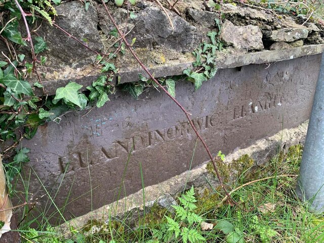
Coed Tyddyn-hendre is not only a place of natural beauty but also of historical significance. It is home to the remains of an ancient hillfort, dating back to the Iron Age. These archaeological remnants serve as a reminder of the area's rich cultural heritage.
With its serene atmosphere and breathtaking scenery, Coed Tyddyn-hendre provides the perfect setting for outdoor activities like picnicking, photography, and nature walks. Whether one is seeking solitude or a family outing, this woodland promises an unforgettable experience for all who venture within its leafy embrace.
If you have any feedback on the listing, please let us know in the comments section below.
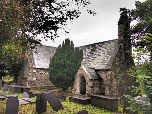
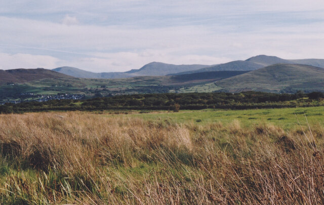
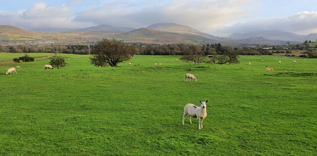
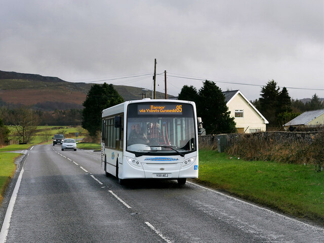
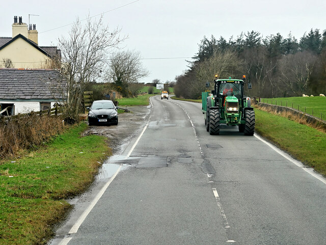
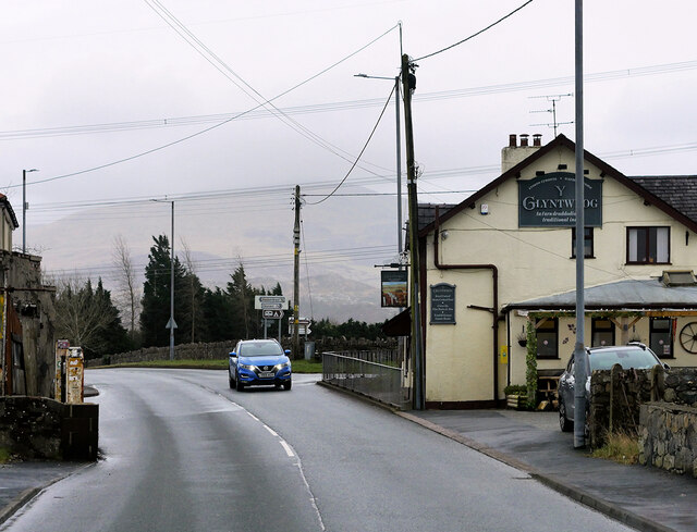
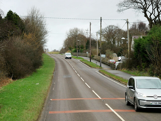
Coed Tyddyn-hendre Images
Images are sourced within 2km of 53.161501/-4.1668919 or Grid Reference SH5564. Thanks to Geograph Open Source API. All images are credited.


Coed Tyddyn-hendre is located at Grid Ref: SH5564 (Lat: 53.161501, Lng: -4.1668919)
Unitary Authority: Gwynedd
Police Authority: North Wales
What 3 Words
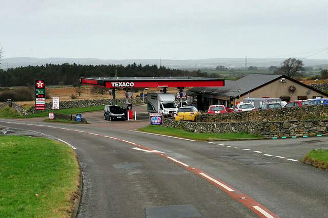
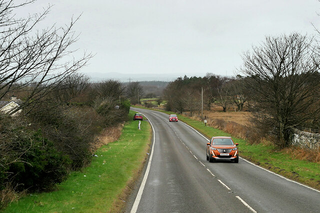
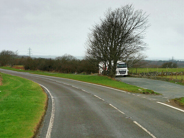
///changing.worksheet.locator. Near Llanrug, Gwynedd
Nearby Locations
Related Wikis

Penisa'r Waun
Penisa'r-waun is a small village which is located 4 miles to the east of Caernarfon and a mile to the northeast of Llanrug on the A4547 in Gwynedd, north...

Afon Rhythallt
The River Rhythallt (Welsh: Afon Rhythallt) is a river in Gwynedd, North Wales whose source is Llyn Padarn. It flows in a northwesterly direction past...

Llanddeiniolen
Llanddeiniolen (Welsh: [ɬanðɛinɪˈɔlɛn]; ) is the name of a community area, in the county of Gwynedd, Wales, and is 124 miles (200 km) from Cardiff and...

Pontrhythallt railway station
Pontrhythallt was a railway station in the village of Pont Rhythallt, Gwynedd, Wales. This station opened in 1869 and closed for regular passenger services...
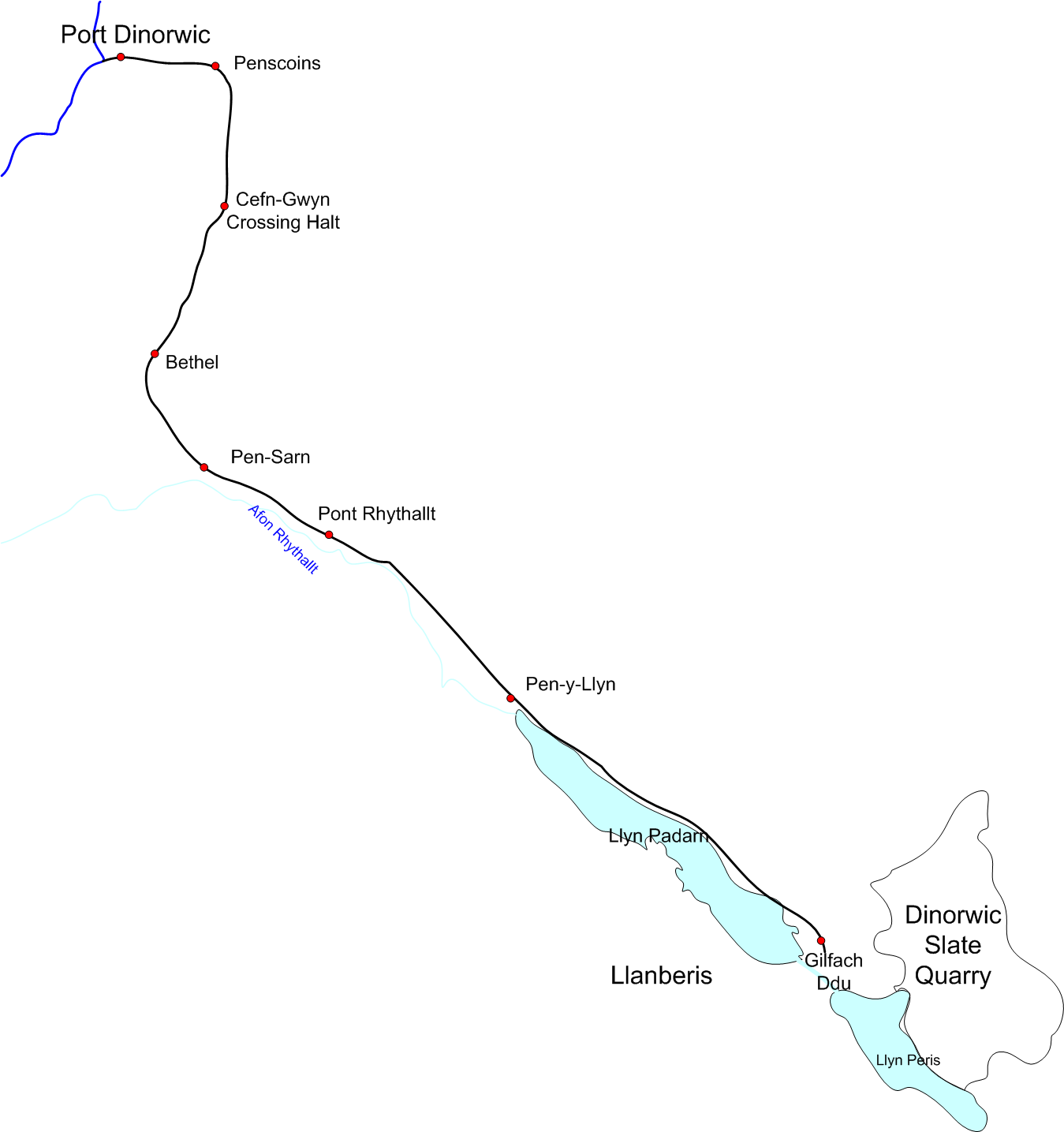
Padarn Railway
The Padarn Railway was a narrow-gauge railway in North Wales, built to the unusual gauge of 4 ft (1,219 mm). It carried slate seven miles (11 km) from...

Ysgol Brynrefail
Ysgol Brynrefail is a bilingual comprehensive school for pupils aged 11–18. It is situated in Llanrug in Gwynedd, north Wales. Most of the school's pupils...

Cwm-y-glo
Cwm-y-glo is a small village in Wales, 4+1⁄2 miles (7 km) east of Caernarfon, between Llanberis and Llanrug. It is in the Arfon Parliamentary constituency...

Llanrug
Llanrug (or Llanfihangel-yn-y-grug) is a medium-sized village and community in Gwynedd, north-west Wales. It lies about 4 miles (6.4 km) to the east of...
Related Videos

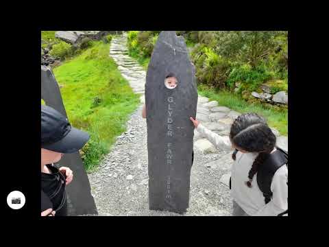
Episode 88 - Greenwood Family Park | Dad and Lad on Tour | Travel adventures around the UK
Follow our journey by subscribing as we travel the UK Dad and Lad. Where will we go? Where are the best places to visit in the ...
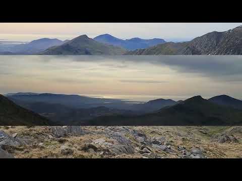
Devil's Kitchen Walk - Group 1
Our walk around Llyn Idwal. Today we had lunch at the lake, walked up towards the Devils Kitchen, scrambled over a waterfall, ...
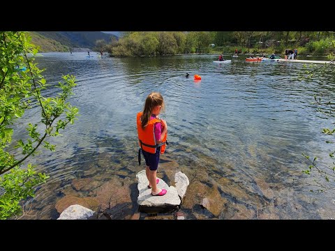
Llyn Padarn, Llanberis
SUP and swimming in Llyn Padarn, Llanberis. North Wales. In our motorhome on Snowdon Inn Campsite. Cycling with the kids.
Nearby Amenities
Located within 500m of 53.161501,-4.1668919Have you been to Coed Tyddyn-hendre?
Leave your review of Coed Tyddyn-hendre below (or comments, questions and feedback).