Whitlera Plantation
Wood, Forest in Carmarthenshire
Wales
Whitlera Plantation
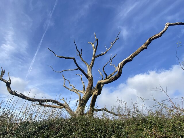
Whitlera Plantation is a picturesque woodland located in Carmarthenshire, Wales. Covering an area of approximately 500 acres, this enchanting forest is known for its diverse range of plant and animal species, making it a popular destination for nature enthusiasts and hikers.
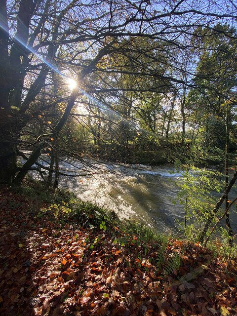
The plantation is predominantly composed of broadleaf trees, including oak, beech, and birch, which create a lush and vibrant canopy during the spring and summer months. The forest floor is adorned with a carpet of bluebells, ferns, and mosses, adding to the magical ambiance of the woodland.
Home to a multitude of wildlife, Whitlera Plantation offers visitors the opportunity to spot various species. Red squirrels, foxes, and badgers are commonly sighted, as well as a variety of birds such as woodpeckers, owls, and thrushes. The plantation also supports an array of insects, including butterflies and dragonflies, which thrive in the diverse ecosystem.
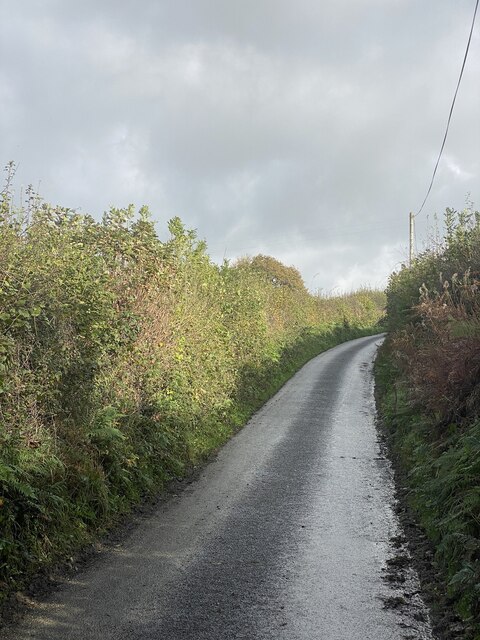
The woodland provides an extensive network of paths and trails, allowing visitors to explore its beauty on foot or by bike. There are also designated picnic areas, providing a perfect spot for visitors to relax and enjoy the tranquility of the surroundings.
Whitlera Plantation holds significant historical importance, with remnants of ancient settlements and burial grounds scattered throughout the forest. These archaeological features offer a glimpse into the rich history of the area, adding an extra layer of intrigue to the woodland experience.
Overall, Whitlera Plantation is a captivating destination for those seeking a peaceful and immersive encounter with nature. Its stunning beauty and biodiversity make it an ideal location for outdoor activities, wildlife observation, and exploration of the region's history.
If you have any feedback on the listing, please let us know in the comments section below.
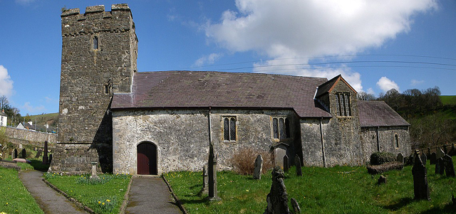
Whitlera Plantation Images
Images are sourced within 2km of 51.896949/-4.1068938 or Grid Reference SN5524. Thanks to Geograph Open Source API. All images are credited.


Whitlera Plantation is located at Grid Ref: SN5524 (Lat: 51.896949, Lng: -4.1068938)
Unitary Authority: Carmarthenshire
Police Authority: Dyfed Powys
What 3 Words
///novelists.apricot.urge. Near Llanfynydd, Carmarthenshire
Nearby Locations
Related Wikis

Battle of Cadfan
The Battle of Cadfan was fought between English and Welsh forces in 1257. The battle consisted of two military engagements; one at Coed Llathen and the...
Llanfynydd
Llanfynydd is a village, parish and community in Carmarthenshire, Wales. The community population at the 2011 census was 499. It lies some 10 miles (16...
Cathinog Hundred
Cathinog (also spelt Catheiniog, Cetheiniog) was a hundred, a geographic division, in the traditional county of Carmarthenshire, Wales. Its name derives...

Aberglasney
Aberglasney House and Gardens is a medieval house and gardens set in the Tywi valley in the parish of Llangathen, Carmarthenshire, West Wales. It is owned...

Allt y Gaer
Allt y Gaer (Welsh for 'hill of the fort') is a Site of Special Scientific Interest (SSSI) in Llangathen community, Carmarthenshire, Wales. It is a 3.5ha...
Allt y wern
Allt y Wern is a Site of Special Scientific Interest (SSSI) in the community of Llangathen in Carmarthenshire, Wales. The site is a semi-natural broadleaved...

Dryslwyn Castle
Dryslwyn Castle (Welsh: Castell y Drysllwyn) is a native Welsh castle, sited on a rocky hill roughly halfway between Llandeilo and Carmarthen in Wales...

Carmarthen East and Dinefwr (Senedd constituency)
Carmarthen East and Dinefwr (Welsh: Dwyrain Caerfyrddin a Dinefwr) is a constituency of the Senedd. It elects one Member of the Senedd by the first past...
Have you been to Whitlera Plantation?
Leave your review of Whitlera Plantation below (or comments, questions and feedback).