Ffynnon Cegin Arthur

Heritage Site in Caernarfonshire

Wales

Ffynnon Cegin Arthur

St Deiniol's Church, Llanddeiniolen
St Deiniol's Church, Llanddeiniolen Credit: Chris Andrews

Ffynnon Cegin Arthur is a historic site located in Caernarfonshire, Wales. Situated near the village of Beddgelert, this site is considered a significant heritage site due to its association with the legendary figure of King Arthur.

The name Ffynnon Cegin Arthur translates to "Arthur's Kitchen Fountain." It is believed that this natural spring was used as a cooking place by King Arthur and his knights during their travels. According to local folklore, the spring's water possesses healing powers and is said to be able to cure ailments.

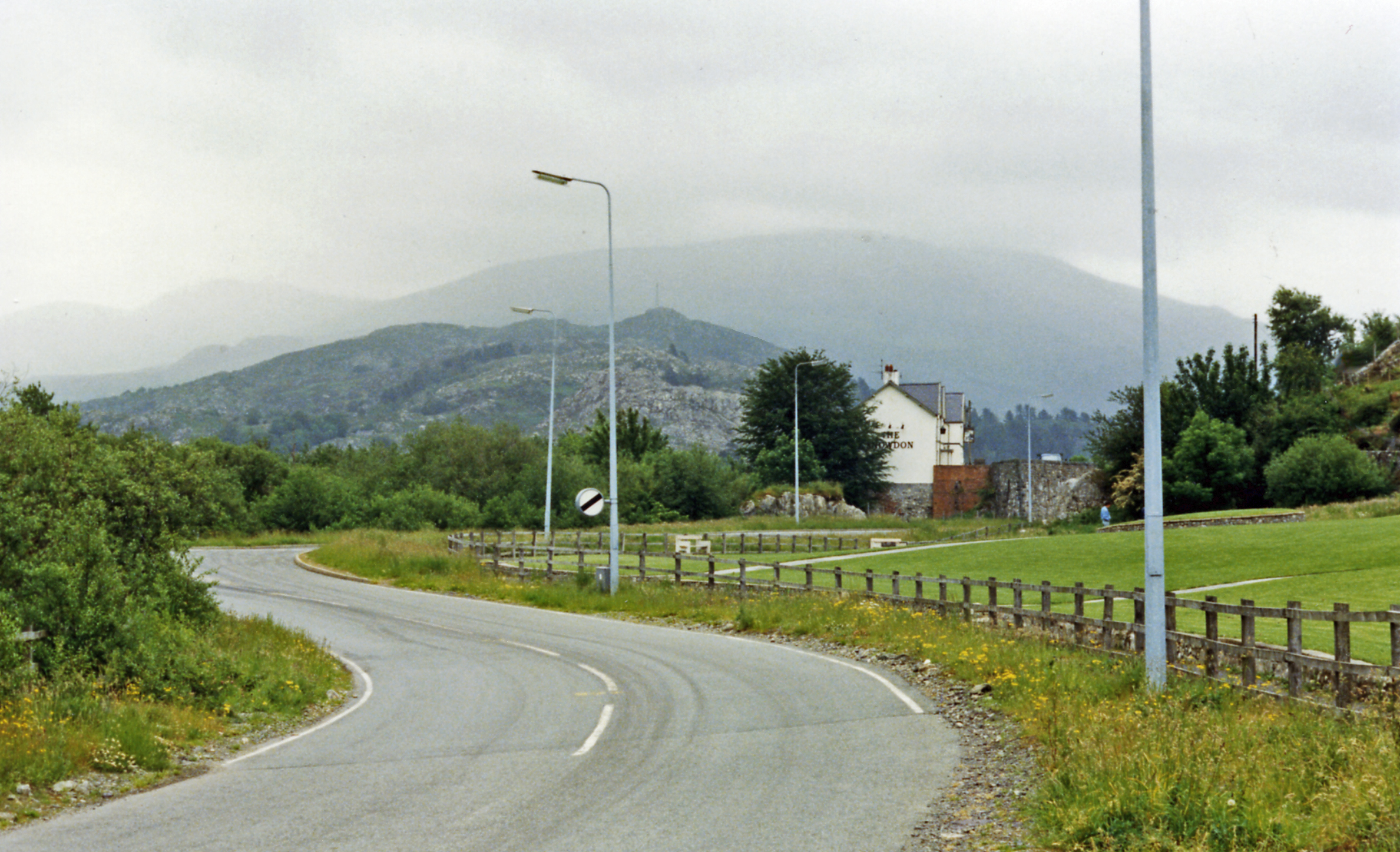
The site itself consists of a small stone structure that encloses the spring. The structure features a stone roof and walls, with an opening for access to the water. The spring flows steadily and is surrounded by lush greenery, adding to its serene and mystical atmosphere.

Ffynnon Cegin Arthur attracts visitors from all over the world who are intrigued by the legends associated with King Arthur. Many visitors come to the site seeking to experience the supposed healing properties of the water, while others visit to immerse themselves in the mythical tales surrounding Arthur and his knights.

In addition to its historical and cultural significance, Ffynnon Cegin Arthur is also appreciated for its natural beauty. The picturesque surroundings and tranquil ambiance make it a popular spot for nature lovers and those seeking a peaceful retreat.

Overall, Ffynnon Cegin Arthur is a captivating heritage site that combines history, mythology, and natural beauty, making it a must-visit destination for anyone interested in Welsh folklore and the legendary tales of King Arthur.

If you have any feedback on the listing, please let us know in the comments section below.

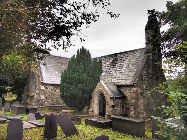
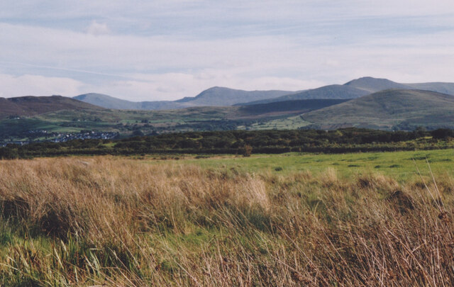
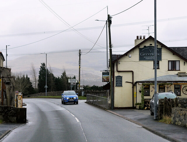
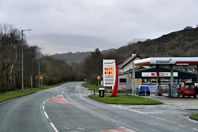
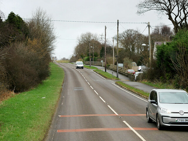
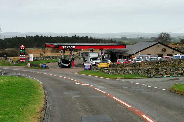
Ffynnon Cegin Arthur Images

Images are sourced within 2km of 53.157/-4.162 or Grid Reference SH5564. Thanks to Geograph Open Source API. All images are credited.

St Deiniol's Church, Llanddeiniolen
Trackway Near Waun
Trackway Near Waun
A Neglected Stile
A Neglected Stile
Wetland at Llanddeiniolen The Carneddau form the background.
Wetland at Llanddeiniolen
The Carneddau form the background.
Connector pylon at the Stabla ESS
Field of sheep at Tyddin Hendre A field of sheep at Tyddin Hendre farm near Penisa'r Waun.
Field of sheep at Tyddin Hendre
A field of sheep at Tyddin Hendre farm near Penisa'r Waun.
Service Bus on the A4244 Gwynfor Coaches Alexander Dennis Enviro 200 Dart, YX11 AEJ on route number 85 towards Bangor. (A4244, Ynys lago bus stop).
Service Bus on the A4244
Gwynfor Coaches Alexander Dennis Enviro 200 Dart, YX11 AEJ on route number 85 towards Bangor. (A4244, Ynys lago bus stop).
Y Glyntywrog, Llanberis Road The A4086 runs for almost 18 miles between Caernarfon and Capel Curig. It is a popular tourist route as it passes through some of the most memorable and famous parts of Snowdonia including the Llanberis Pass.
Y Glyntywrog, Llanberis Road
The A4086 runs for almost 18 miles between Caernarfon and Capel Curig. It is a popular tourist route as it passes through some of the most memorable and famous parts of Snowdonia including the Llanberis Pass.
London Garage, Maes Gerddi The A4086 runs for almost 18 miles between Caernarfon and Capel Curig. It is a popular tourist route as it passes through some of the most memorable and famous parts of Snowdonia including the Llanberis Pass.
London Garage, Maes Gerddi
The A4086 runs for almost 18 miles between Caernarfon and Capel Curig. It is a popular tourist route as it passes through some of the most memorable and famous parts of Snowdonia including the Llanberis Pass.
A4244 near Bryn Derw The A4244 is a relatively short (6½ miles) rural A-road in north Caernarfonshire. It connects the A5/A55 (near the Llys-y-gwynt junction) with the A4086 at Brynrefail, just outside Llanberis.
A4244 near Bryn Derw
The A4244 is a relatively short (6½ miles) rural A-road in north Caernarfonshire. It connects the A5/A55 (near the Llys-y-gwynt junction) with the A4086 at Brynrefail, just outside Llanberis.
Beran Service Station The A4244 is a relatively short (6½ miles) rural A-road in north Caernarfonshire. It connects the A5/A55 (near the Llys-y-gwynt junction) with the A4086 at Brynrefail, just outside Llanberis.
Beran Service Station
The A4244 is a relatively short (6½ miles) rural A-road in north Caernarfonshire. It connects the A5/A55 (near the Llys-y-gwynt junction) with the A4086 at Brynrefail, just outside Llanberis.
A4244 northbound The A4244 is a relatively short (6½ miles) rural A-road in north Caernarfonshire. It connects the A5/A55 (near the Llys-y-gwynt junction) with the A4086 at Brynrefail, just outside Llanberis.
A4244 northbound
The A4244 is a relatively short (6½ miles) rural A-road in north Caernarfonshire. It connects the A5/A55 (near the Llys-y-gwynt junction) with the A4086 at Brynrefail, just outside Llanberis.
Layby on the A4244 The A4244 is a relatively short (6½ miles) rural A-road in north Caernarfonshire. It connects the A5/A55 (near the Llys-y-gwynt junction) with the A4086 at Brynrefail, just outside Llanberis.
Layby on the A4244
The A4244 is a relatively short (6½ miles) rural A-road in north Caernarfonshire. It connects the A5/A55 (near the Llys-y-gwynt junction) with the A4086 at Brynrefail, just outside Llanberis.
Benchmark at Tan-dinas, Llanddeiniolen This benchmark is located on the SE face of Tan-dinas in Llanddeiniolen & it is shown in the current Ordnance Survey database at a height of 108.4235m above the Newlyn datum.
Benchmark at Tan-dinas, Llanddeiniolen
This benchmark is located on the SE face of Tan-dinas in Llanddeiniolen & it is shown in the current Ordnance Survey database at a height of 108.4235m above the Newlyn datum.
Benchmark on St. Deiniolen's Church, Llanddeiniolen This benchmark is located on the SE face of St. Deniniolen's church (Eglwys Llanddeiniolen) in Llanddeniolen & it is shown in the current Ordnance Survey database at a height of 126.1903m above the Newlyn datum.
Benchmark on St. Deiniolen's Church, Llanddeiniolen
This benchmark is located on the SE face of St. Deniniolen's church (Eglwys Llanddeiniolen) in Llanddeniolen & it is shown in the current Ordnance Survey database at a height of 126.1903m above the Newlyn datum.
Benchmark at Ynys Farm, Llanddeiniolen This benchmark is located on the SW face of an outbuilding at Ynys farm in Llanddeiniolen. The mark does not appear in the current Ordnance Survey database but is shown on an 1970 map of the area at a height of 117.24m above the Newlyn datum.
Benchmark at Ynys Farm, Llanddeiniolen
This benchmark is located on the SW face of an outbuilding at Ynys farm in Llanddeiniolen. The mark does not appear in the current Ordnance Survey database but is shown on an 1970 map of the area at a height of 117.24m above the Newlyn datum.
St. Deiniolen's Church, Llanddeiniolen This old church in Llanddeiniolen seems to have undergone a name change as it is usually now referred to as 'St. Deiniol's Church'. However quite recent maps of the area show it as 'St. Deiniolen's Church'.
St. Deiniolen's Church, Llanddeiniolen
This old church in Llanddeiniolen seems to have undergone a name change as it is usually now referred to as 'St. Deiniol's Church'. However quite recent maps of the area show it as 'St. Deiniolen's Church'.
A slate commemorative stone outside the grounds of the former school, Llanddeiniolen This slate commemorative stone is located in the boundary wall of the former school.
A slate commemorative stone outside the grounds of the former school, Llanddeiniolen
This slate commemorative stone is located in the boundary wall of the former school.
Show me another place!

Ffynnon Cegin Arthur is located at Grid Ref: SH5564 (Lat: 53.157, Lng: -4.162)

Unitary Authority: Gwynedd

Police Authority: North Wales

What 3 Words

///gladiators.expect.suspends. Near Deiniolen, Gwynedd

Related Wikis

Penisa'r Waun

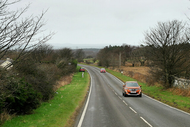
Penisa'r-waun is a small village which is located 4 miles to the east of Caernarfon and a mile to the northeast of Llanrug on the A4547 in Gwynedd, north...

Afon Rhythallt

The River Rhythallt (Welsh: Afon Rhythallt) is a river in Gwynedd, North Wales whose source is Llyn Padarn. It flows in a northwesterly direction past...

Pontrhythallt railway station

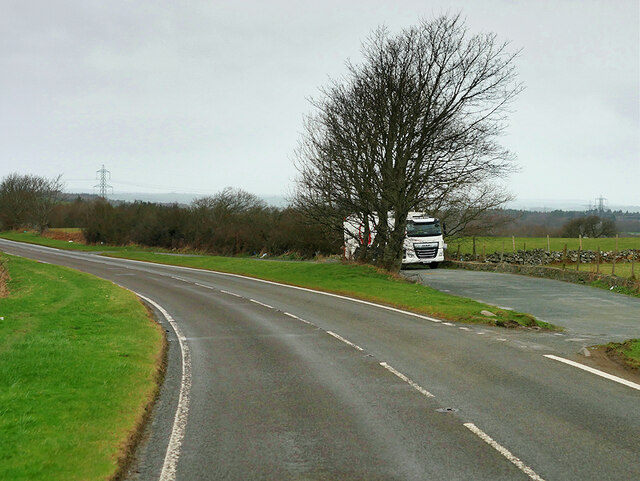
Pontrhythallt was a railway station in the village of Pont Rhythallt, Gwynedd, Wales. This station opened in 1869 and closed for regular passenger services...
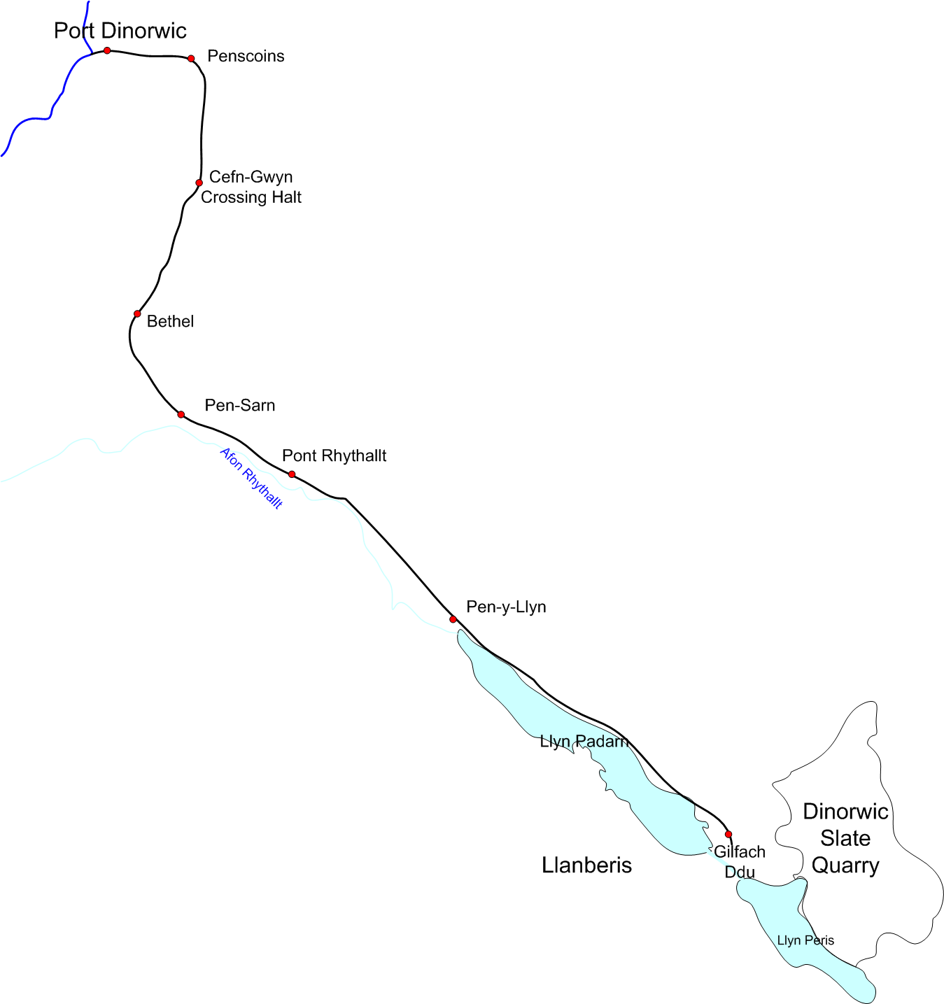
Padarn Railway

The Padarn Railway was a narrow-gauge railway in North Wales, built to the unusual gauge of 4 ft (1,219 mm). It carried slate seven miles (11 km) from...

Cwm-y-glo

Cwm-y-glo is a small village in Wales, 4+1⁄2 miles (7 km) east of Caernarfon, between Llanberis and Llanrug. It is in the Arfon Parliamentary constituency...

Brynrefail, Gwynedd

Brynrefail () is a small village in Gwynedd, Wales which straddles the A4244 road roughly between Deiniolen and Llanberis. The village is in the Arfon...

Llanddeiniolen

Llanddeiniolen (Welsh: [ɬanðɛinɪˈɔlɛn]; ) is the name of a community area, in the county of Gwynedd, Wales, and is 124 miles (200 km) from Cardiff and...

Cwm-y-Glo railway station

Cwm-y-Glo railway station served the village of Cwm-y-glo, Gwynedd, Wales, at the north-west end of Llyn Padarn. The station was closed for regular passenger...

Nearby Amenities

Located within 500m of 53.157,-4.162
Power: tower
Lat/Long: 53.1595117/-4.1671299
Power: tower
Lat/Long: 53.157759/-4.167212
Power: tower
Lat/Long: 53.1549969/-4.1673926
Penisarwaun
Place: village
Wikidata: Q7163011
Lat/Long: 53.1535408/-4.16113
Pen-ucha'r-waen
Place: hamlet
Lat/Long: 53.1565119/-4.1666363
Waen
Place: hamlet
Lat/Long: 53.158667/-4.160081
Traffic Calming: yes
Lat/Long: 53.153138/-4.1589063
Traffic Calming: yes
Lat/Long: 53.1532587/-4.1597024
Traffic Calming: yes
Lat/Long: 53.1527392/-4.1633795
Post Box
Lat/Long: 53.1533382/-4.1599568
Barrier: kissing_gate
Foot: yes
Lat/Long: 53.1587203/-4.1680413
Post Box
Drive Through: no
Operator: Royal Mail
Lat/Long: 53.1565855/-4.1666286
Noexit: yes
Lat/Long: 53.1563264/-4.1654217
Direction: 165
Generator Method: photovoltaic
Generator Output Electricity: yes
Generator Solar Modules: 20
Generator Source: solar
Generator Type: solar_photovoltaic_panel
Location: roof
Power: generator
Lat/Long: 53.1528902/-4.1636936
Direction: ESE
Generator Method: photovoltaic
Generator Output Electricity: yes
Generator Solar Modules: 8
Generator Source: solar
Generator Type: solar_photovoltaic_panel
Location: roof
Power: generator
Lat/Long: 53.153355/-4.1589153
Direction: 145
Generator Method: photovoltaic
Generator Output Electricity: yes
Generator Solar Modules: 12
Generator Source: solar
Generator Type: solar_photovoltaic_panel
Location: roof
Power: generator
Lat/Long: 53.1540724/-4.1590742
Direction: 165
Generator Method: photovoltaic
Generator Output Electricity: yes
Generator Solar Modules: 16
Generator Source: solar
Generator Type: solar_photovoltaic_panel
Location: roof
Power: generator
Lat/Long: 53.1528283/-4.164049
Direction: 105
Generator Method: photovoltaic
Generator Output Electricity: yes
Generator Solar Modules: 16
Generator Source: solar
Generator Type: solar_photovoltaic_panel
Location: roof
Power: generator
Lat/Long: 53.1589408/-4.1606252
The data included in this document is from www.openstreetmap.org. The data is made available under ODbL.

Have you been to Ffynnon Cegin Arthur ?

Leave your review of Ffynnon Cegin Arthur below (or comments, questions and feedback).