Northill Wood

Wood, Forest in Glamorgan

Wales

Northill Wood

In Park Woods, Gower
In Park Woods, Gower Credit: John Thorn

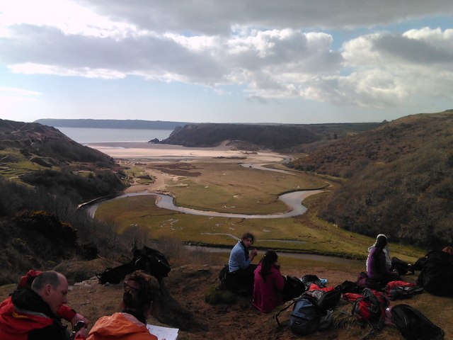
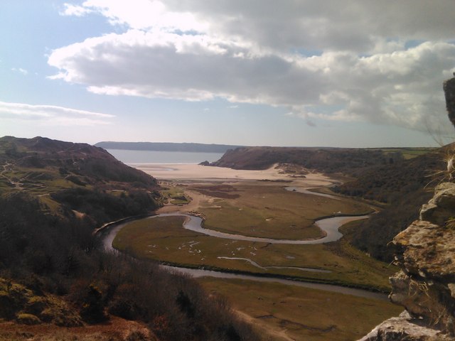
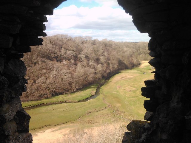
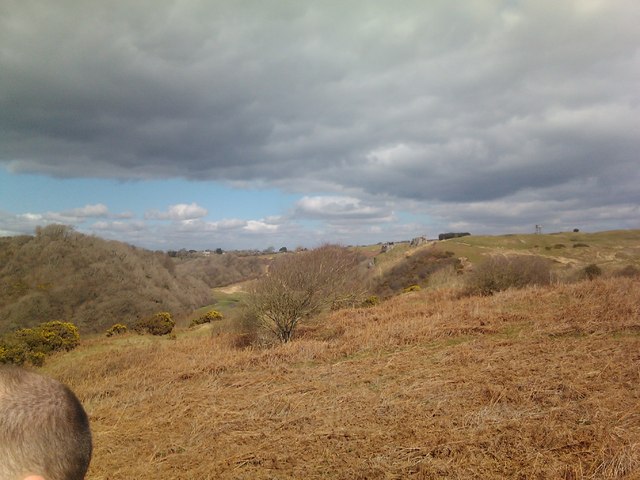
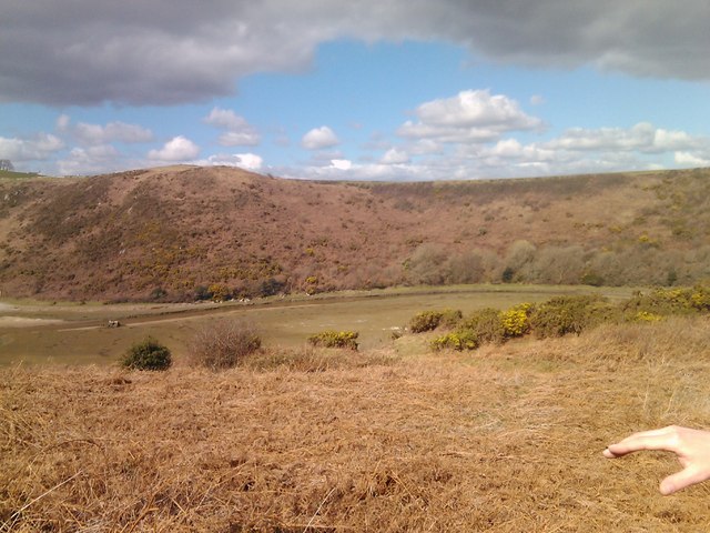
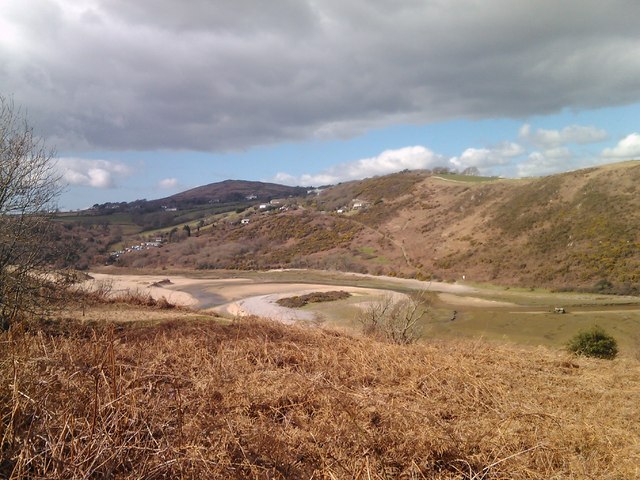
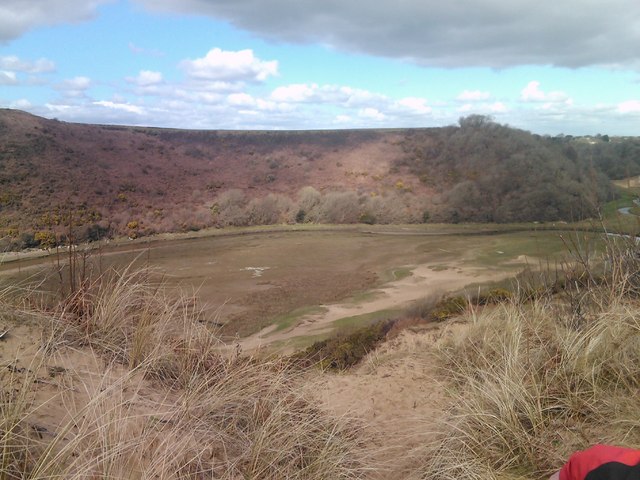
Northill Wood is a picturesque woodland located in the county of Glamorgan, Wales. Covering an area of approximately 200 acres, it is a natural haven for wildlife and a popular destination for nature enthusiasts and hikers alike.

The woodland is predominantly made up of native broadleaf trees such as oak, beech, and ash, creating a diverse and vibrant ecosystem. The dense canopy provides shelter and nesting sites for a variety of bird species, including woodpeckers, owls, and warblers. Additionally, the forest floor is adorned with a rich carpet of wildflowers during the spring and summer months, attracting an array of butterflies and insects.

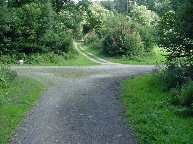
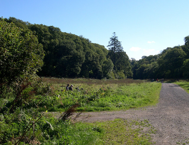
Tranquil walking trails wind through the wood, allowing visitors to immerse themselves in the beauty of the surroundings. These paths offer stunning views of the woodland, with sunlight filtering through the leaves and casting dappled shadows on the forest floor. There are several designated picnic areas along the trails, providing a perfect spot to rest and enjoy the peaceful ambiance.

Northill Wood is also home to a small pond, which serves as a watering hole for wildlife. It supports a variety of aquatic plants and is inhabited by frogs, newts, and dragonflies. The pond is a popular spot for birdwatching, as many species can be spotted visiting the water's edge.

Overall, Northill Wood is a hidden gem in Glamorgan, offering a tranquil retreat from the hustle and bustle of everyday life. Its natural beauty and diverse wildlife make it a must-visit destination for nature lovers and those seeking solace in the great outdoors.

If you have any feedback on the listing, please let us know in the comments section below.

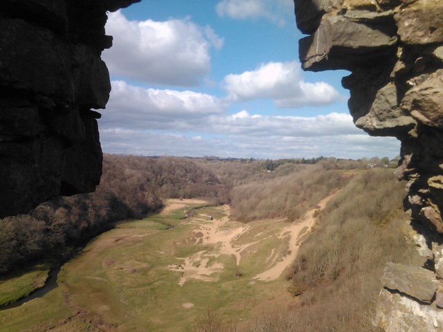
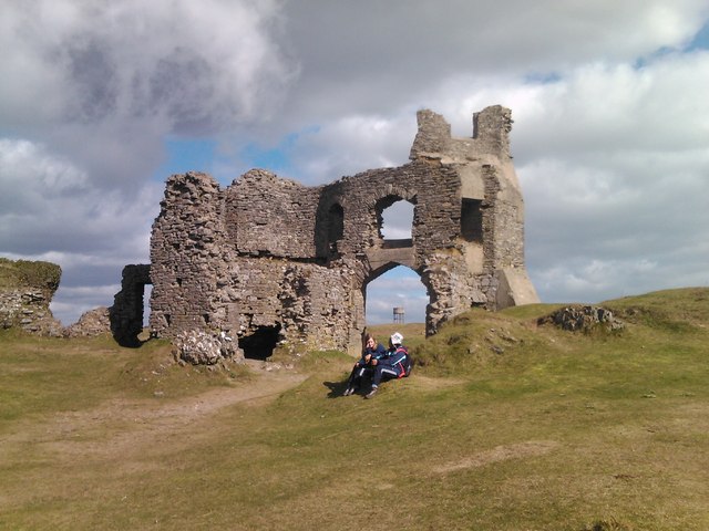
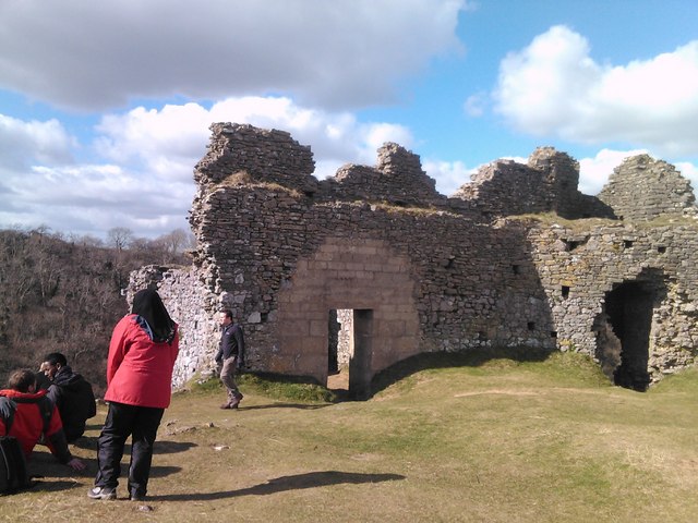
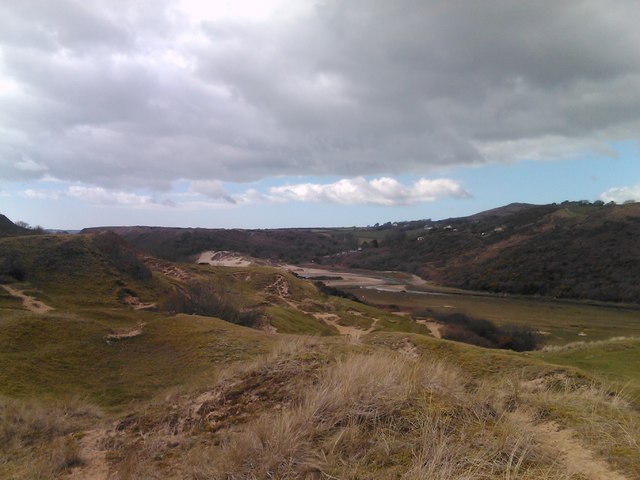
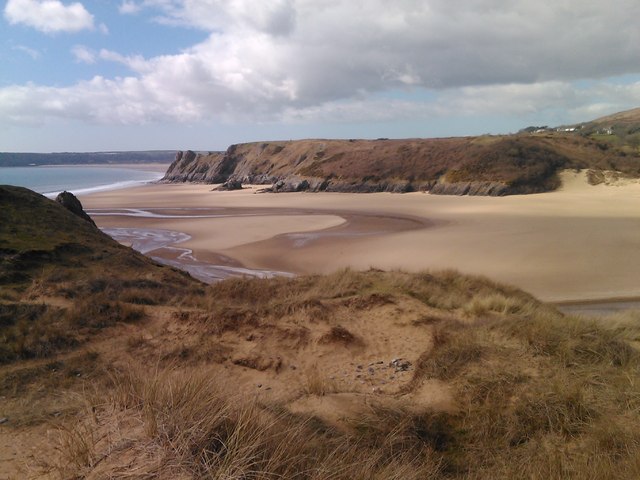
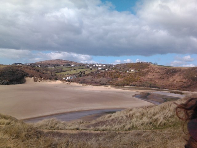
Northill Wood Images

Images are sourced within 2km of 51.576718/-4.1058436 or Grid Reference SS5488. Thanks to Geograph Open Source API. All images are credited.

In Park Woods, Gower
Park Woods A track runs through Park Woods giving access to archaeological sites many of which are scheduled ancient monuments and of national importance.
Park Woods
A track runs through Park Woods giving access to archaeological sites many of which are scheduled ancient monuments and of national importance.
Cathole Cave Cathole cave in Park Wood is a natural limestone cave. Occupied between 20,000 and 10,000 years ago. Deposits include bones of bear, hyena, woolly rhinoceros, mammoth, reindeer and the extinct Irish deer. None of these animals were present on the day of our visit!
Cathole Cave
Cathole cave in Park Wood is a natural limestone cave. Occupied between 20,000 and 10,000 years ago. Deposits include bones of bear, hyena, woolly rhinoceros, mammoth, reindeer and the extinct Irish deer. None of these animals were present on the day of our visit!
View of the water tower in Southgate from the church ruins at Pennard Pill Looking north-northeast.
View of the water tower in Southgate from the church ruins at Pennard Pill
Looking north-northeast.
View of the Pennard Pill from the cliff by the church ruins Looking west-southwest.
View of the Pennard Pill from the cliff by the church ruins
Looking west-southwest.
View of the Pennard Pill from the cliff by the church ruins #2 Looking southwest.
View of the Pennard Pill from the cliff by the church ruins #2
Looking southwest.
View of a section of the church ruins on top of the cliff above the Pennard Pill Looking west-southwest towards the Pennard Pill.
View of a section of the church ruins on top of the cliff above the Pennard Pill
Looking west-southwest towards the Pennard Pill.
View of the Pennard Pill and Northill Wood from the church ruins Looking west-northwest.
View of the Pennard Pill and Northill Wood from the church ruins
Looking west-northwest.
View of the Pennard Pill and Northill Wood from the church ruins #2 Looking north-northwest.
View of the Pennard Pill and Northill Wood from the church ruins #2
Looking north-northwest.
View of a section of the church ruins on top of the cliff above the Pennard Pill #2 Looking northwest.
View of a section of the church ruins on top of the cliff above the Pennard Pill #2
Looking northwest.
View of a section of the church ruins on top of the cliff above the Pennard Pill #3 Looking northwest.
View of a section of the church ruins on top of the cliff above the Pennard Pill #3
Looking northwest.
View of sand channels on the cliff face from the path leading to Pennard Looking west-southwest.
View of sand channels on the cliff face from the path leading to Pennard
Looking west-southwest.
View of the church ruins from the path leading to Three Cliffs Looking north.
View of the church ruins from the path leading to Three Cliffs
Looking north.
View of Northill Wood from the path leading to Three Cliffs Looking west-northwest.
View of Northill Wood from the path leading to Three Cliffs
Looking west-northwest.
Channel braiding in the Pennard Pill, viewed from the cliff top path Looking west-northwest.
Channel braiding in the Pennard Pill, viewed from the cliff top path
Looking west-northwest.
View of the Pennard Pill from the cliff top path Looking west-northwest.
View of the Pennard Pill from the cliff top path
Looking west-northwest.
View of Three Cliffs Bay from the cliff top Looking west-southwest.
View of Three Cliffs Bay from the cliff top
Looking west-southwest.
View of Three Cliffs Bay from the cliff top #2 Looking west-southwest.
View of Three Cliffs Bay from the cliff top #2
Looking west-southwest.
Show me another place!

Northill Wood is located at Grid Ref: SS5488 (Lat: 51.576718, Lng: -4.1058436)

Unitary Authority: Swansea

Police Authority: South Wales

What 3 Words

///perfume.abacus.eclipses. Near Southgate, Swansea

Related Wikis

Parkmill

The village of Parkmill (Welsh: Melin y Parc) is a small rural settlement in the Gower Peninsula, South Wales, midway between the villages of Penmaen and...

La Charrette

La Charrette was for several decades the smallest cinema in the UK. It closed in February 2008. A tiny, 23-seat venue, sited in a back garden in the town...

Pennard (electoral ward)

Pennard is the name of an electoral ward in the City and County of Swansea, Wales, United Kingdom. It is coterminous with the community of Pennard.The...

A4118 road

The A4118 road is in Swansea, Wales, connecting Dyfatty Street in Swansea City Centre with Port Eynon in the Gower Peninsula. The route runs through suburban...

Three Cliffs Bay

Three Cliffs Bay (Welsh: Bae y Tri Chlogwyn) (grid reference SS535876), otherwise Three Cliff Bay, is a bay on the south coast of the Gower Peninsula in...
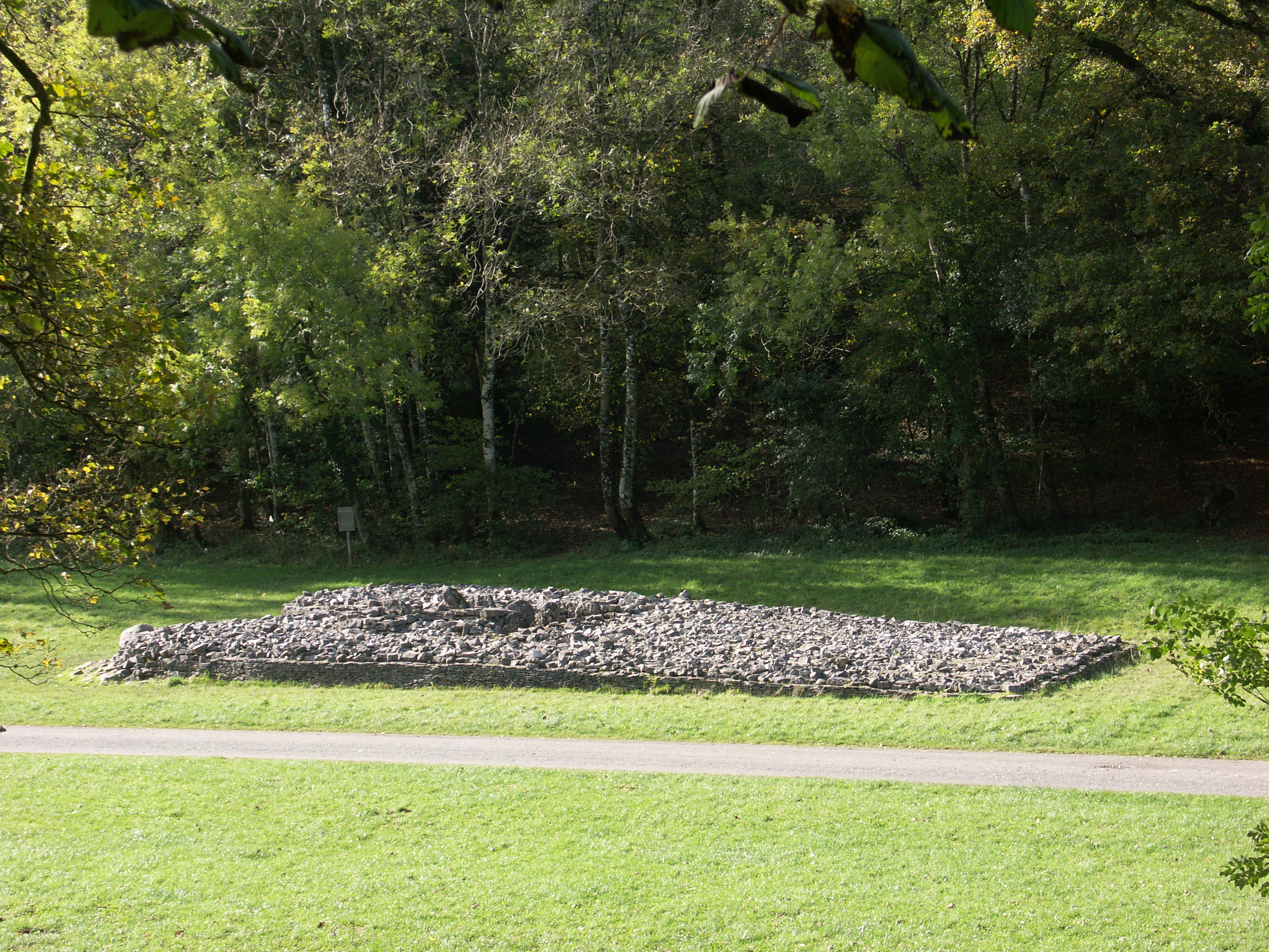
Parc Cwm long cairn

Parc Cwm long cairn (Welsh: carn hir Parc Cwm), also known as Parc le Breos burial chamber (siambr gladdu Parc le Breos), is a partly restored Neolithic...

Parc le Breos

Parc le Breos was a great medieval deer park in the south of the Gower Peninsula, about eight miles (13 km) west of Swansea, Wales, and about 1+1⁄4 miles...

Cathole Cave

Cathole Cave, Cat Hole Cave or Cathole Rock Cave, is a cave near Parc Cwm long cairn at Parc le Breos, on the Gower Peninsula, Wales. It is a steep limestone...

Nearby Amenities

Located within 500m of 51.576718,-4.1058436
Information: route_marker
Tourism: information
Lat/Long: 51.5743575/-4.111183
Information: route_marker
Tourism: information
Lat/Long: 51.5726779/-4.1075457
Information: route_marker
Tourism: information
Lat/Long: 51.573404/-4.1084391
Information: route_marker
Tourism: information
Lat/Long: 51.5749911/-4.1117711
Information: route_marker
Tourism: information
Lat/Long: 51.5748433/-4.1110179
Golf: tee
Source: Bing
Lat/Long: 51.5803041/-4.1017359
Golf: pin
Source: Bing
Lat/Long: 51.5795268/-4.1002901
Golf: pin
Source: Bing
Lat/Long: 51.5758589/-4.1018697
Golf: tee
Source: Bing
Lat/Long: 51.5740547/-4.1025595
Golf: pin
Source: Bing
Lat/Long: 51.5728609/-4.1045279
Fixme: resurvey
Golf: tee
Source: Bing
Lat/Long: 51.5737506/-4.1004357
Golf: tee
Source: Bing
Lat/Long: 51.573746/-4.1015717
Fixme: resurvey
Golf: tee
Source: Bing
Lat/Long: 51.5750777/-4.0993195
Golf: pin
Source: Bing
Lat/Long: 51.5735925/-4.1023774
Golf: tee
Source: Bing
Lat/Long: 51.5722603/-4.1062712
Golf: pin
Source: Bing
Lat/Long: 51.573245/-4.1014012
Fixme: resurvey
Golf: tee
Source: Bing
Lat/Long: 51.575711/-4.1019003
The data included in this document is from www.openstreetmap.org. The data is made available under ODbL.

Have you been to Northill Wood?

Leave your review of Northill Wood below (or comments, questions and feedback).