Coed y Capel
Wood, Forest in Caernarfonshire
Wales
Coed y Capel

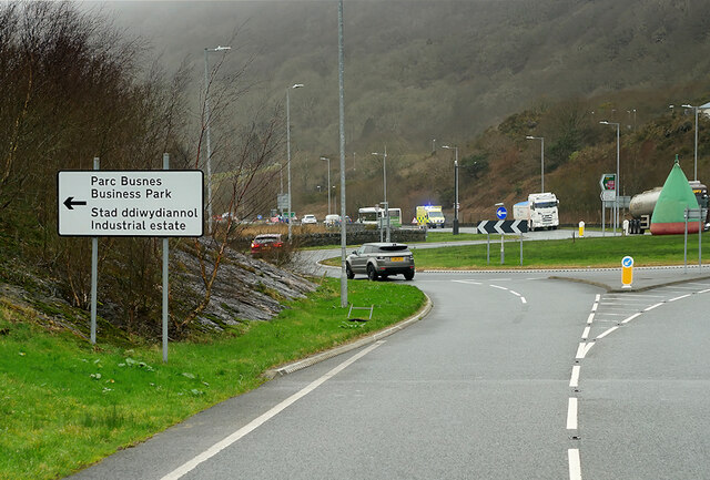
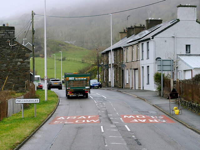
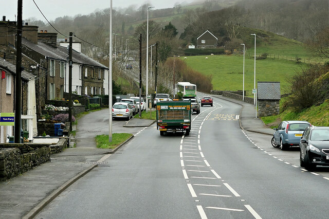
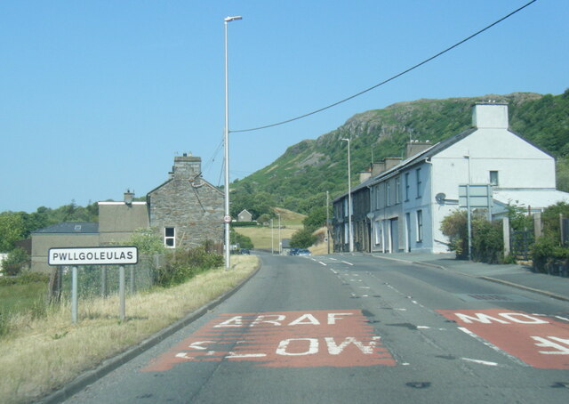
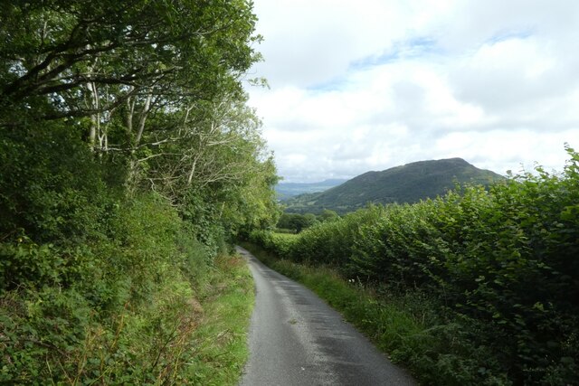
Coed y Capel is a well-known woodland area located in Caernarfonshire, Wales. Covering a vast expanse of land, it is often referred to as a forest due to its dense growth of trees and shrubs. This natural beauty spot is situated near the small village of Capel Coch, just a few miles from the town of Caernarfon.
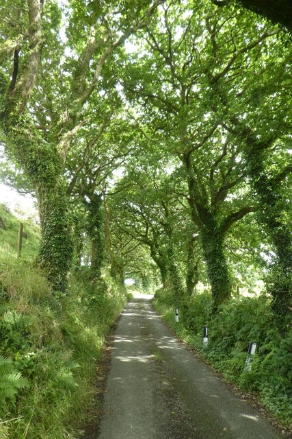
The woodland is made up of a diverse range of tree species, including oak, beech, ash, and birch, creating a rich and varied ecosystem. The forest floor is adorned with a vibrant carpet of ferns, mosses, and wildflowers, adding to the enchanting atmosphere of the area. The dense foliage provides a haven for a wide array of wildlife, including various bird species, mammals such as badgers and foxes, and numerous insects.
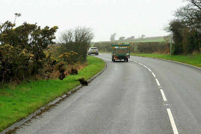
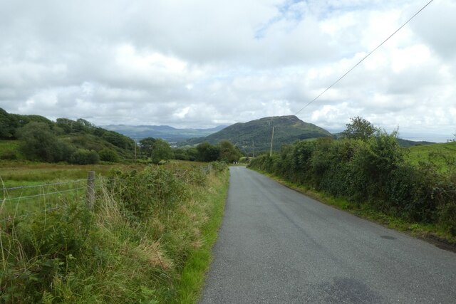
Coed y Capel offers a tranquil and picturesque setting for nature enthusiasts and hikers alike. A network of well-maintained footpaths and trails wind their way through the forest, allowing visitors to explore its beauty at their own pace. The trails provide breathtaking views of the surrounding countryside, with glimpses of nearby mountains and valleys.
In addition to its natural beauty, Coed y Capel also has historical significance. The remains of an old chapel, after which the woodland is named, can be found nestled within the trees. This adds a touch of intrigue and mystery to the area, attracting visitors who are interested in local history.
Overall, Coed y Capel is a captivating woodland that offers a peaceful retreat for those seeking solace in nature. With its stunning scenery, diverse wildlife, and historical charm, it is a must-visit destination for anyone exploring Caernarfonshire.
If you have any feedback on the listing, please let us know in the comments section below.
Coed y Capel Images
Images are sourced within 2km of 52.929385/-4.1707649 or Grid Reference SH5439. Thanks to Geograph Open Source API. All images are credited.


Coed y Capel is located at Grid Ref: SH5439 (Lat: 52.929385, Lng: -4.1707649)
Unitary Authority: Gwynedd
Police Authority: North Wales
What 3 Words
///fuses.octopus.amber. Near Porthmadog, Gwynedd
Nearby Locations
Related Wikis
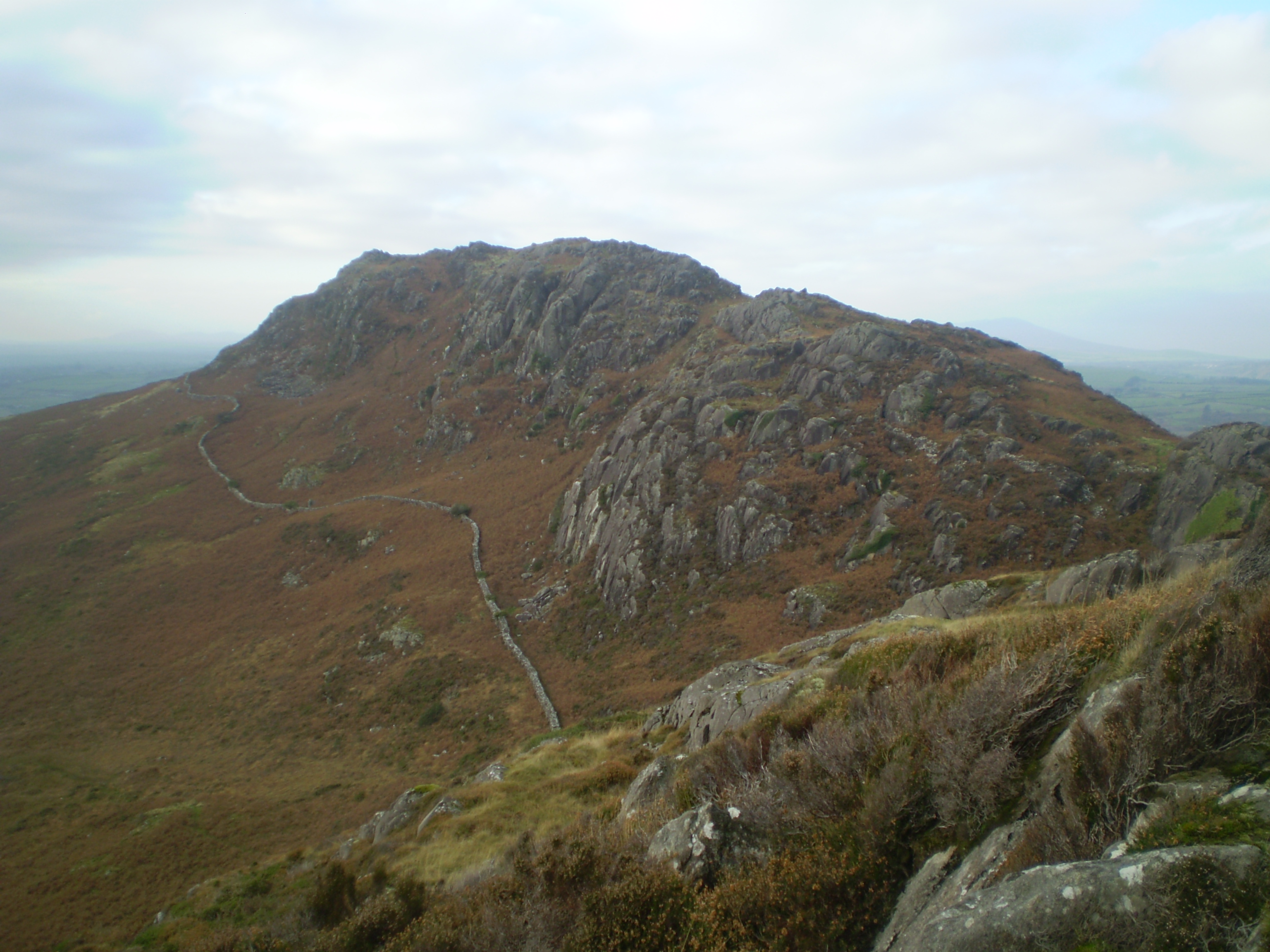
Moel y Gest
Moel y Gest is a 263 m (863 ft) hill to the west of Porthmadog in North Wales. It is a very rocky hill with high topographic prominence because of the...

St Beuno's Church, Penmorfa
St Beuno's Church, Penmorfa, is a redundant church near the settlement of Penmorfa, some 2 miles (3 km) to the northwest of Porthmadog, Gwynedd, Wales...

St Cynhaearn's Church, Ynyscynhaearn
St Cynhaearn's Church is a redundant church standing in an isolated position on Ynyscynhaearna, a former island in Llyn (Lake) Ystumllyn, 900 metres (980...
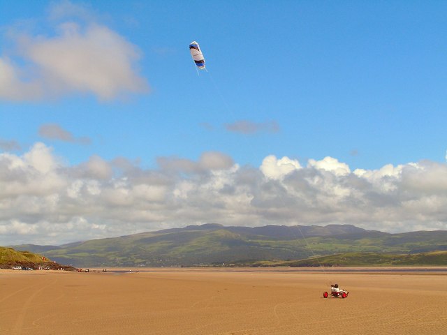
Morfa Bychan
Morfa Bychan is a village located in Gwynedd, North Wales, with a population of over 500, with an almost equal number of people born in England or Wales...

Ysbyty Alltwen
Ysbyty Alltwen (English: Alltwen Hospital) is a health facility in Tremadog, Gwynedd, Wales. It is managed by the Betsi Cadwaladr University Health Board...

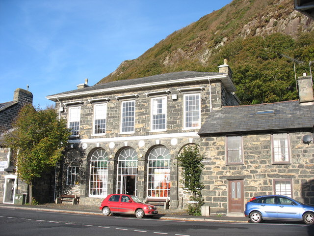
Tremadog
Tremadog (formerly Tremadoc) is a village in the community of Porthmadog, in Gwynedd, north west Wales; about one mile (1.6 km) north of Porthmadog town...
Tremadog Town Hall
Tremadog Town Hall (Welsh: Neuadd y Dref Tremadog) is a municipal building on Stryd Fawr, in Tremadog, Gwynedd, Wales. The structure, which was most recently...

Ystumllyn
Ystumllyn is a Grade II* listed house in Criccieth, Wales. Founded in the late-16th-century, and significantly expanded in the early-18th-century, it is...
Have you been to Coed y Capel?
Leave your review of Coed y Capel below (or comments, questions and feedback).