Allt Pen-lan

Wood, Forest in Carmarthenshire

Wales

Allt Pen-lan

Ordnance Survey Cut Mark This OS cut mark can be found on the gatepost NW side of the road. It marks a point 234.248m above mean sea level.
Ordnance Survey Cut Mark Credit: Adrian Dust

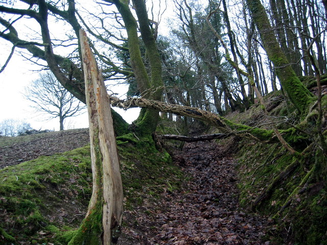
Allt Pen-lan is a picturesque woodland area located in Carmarthenshire, Wales. Covering an area of approximately 50 hectares, this enchanting forest is a popular destination for nature lovers and outdoor enthusiasts.

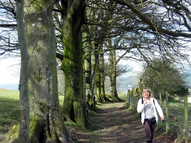
The woodland is characterized by a diverse range of tree species, including oak, ash, beech, and birch. These towering trees create a lush canopy, providing shelter for a variety of wildlife. Visitors can expect to spot an array of birds, such as woodpeckers and owls, as well as small mammals like squirrels and rabbits.

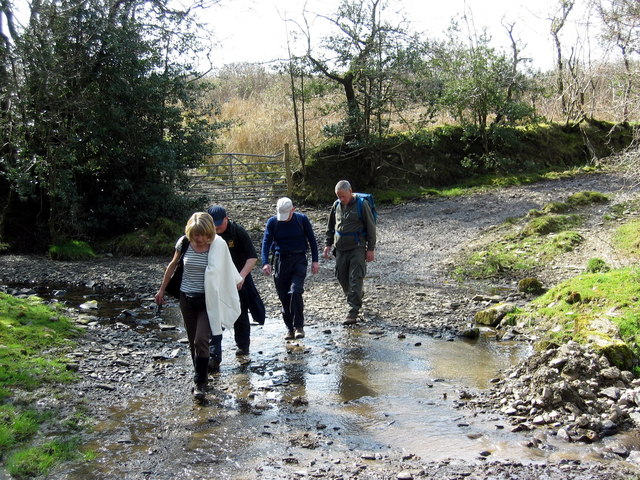
Tranquil streams and babbling brooks meander through Allt Pen-lan, adding to the serene ambiance of the forest. These water features attract a variety of aquatic creatures, including frogs and newts, which can be observed by keen-eyed visitors.

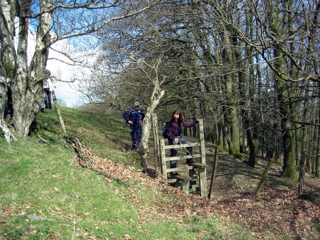
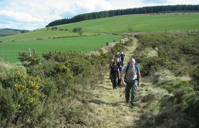
Walking trails wind their way through the woodland, allowing visitors to explore the natural beauty at their own pace. These well-maintained paths offer stunning views of the surrounding countryside and provide the perfect opportunity for a peaceful stroll or a more vigorous hike.

Allt Pen-lan is also home to a variety of plant species, with wildflowers carpeting the forest floor during the spring and summer months. This vibrant display of colors creates a breathtaking sight that is sure to captivate visitors.

Overall, Allt Pen-lan in Carmarthenshire is a haven of tranquility and natural beauty. Whether it's a leisurely walk, birdwatching, or simply enjoying the serene surroundings, this woodland offers a unique and delightful experience for all who visit.

If you have any feedback on the listing, please let us know in the comments section below.
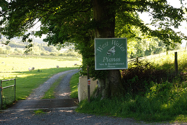
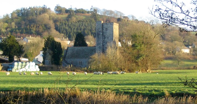
Allt Pen-lan Images

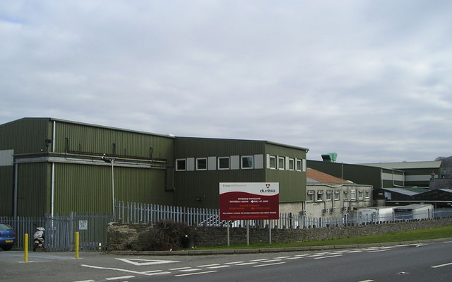
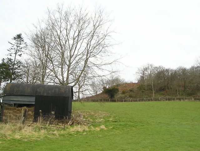
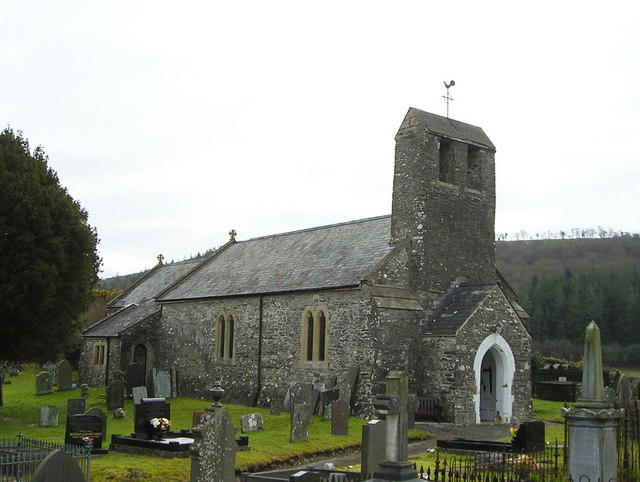
Images are sourced within 2km of 52.070078/-4.1288113 or Grid Reference SN5443. Thanks to Geograph Open Source API. All images are credited.

Ordnance Survey Cut Mark This OS cut mark can be found on the gatepost NW side of the road. It marks a point 234.248m above mean sea level.
Ordnance Survey Cut Mark
This OS cut mark can be found on the gatepost NW side of the road. It marks a point 234.248m above mean sea level.
Ordnance Survey Cut Mark This OS cut mark can be found on the south angle of St Patr1ck's Church. It marks a point 143.086m above mean sea level.
Ordnance Survey Cut Mark
This OS cut mark can be found on the south angle of St Patr1ck's Church. It marks a point 143.086m above mean sea level.
The Red Lion, Pencarreg
A485 passing Dunbia meat processing plant
Llwybr Ffarm Aber Duar Farm Footpath Cerddwyr yn dilyn llwybr cyhoeddus at Ffarm Aberduar

Walkers following a footpath towards Aberduar Farm.
Llwybr Ffarm Aber Duar Farm Footpath
Cerddwyr yn dilyn llwybr cyhoeddus at Ffarm Aberduar Walkers following a footpath towards Aberduar Farm.
Hen Ysgol Dolgwm  / Dolgwm Old School Cerddwyr yn agosau at hen Ysgol Dolgwm. 

Walkers heading in the direction of the former Dolgwm School (trans. valley meadow).
Hen Ysgol Dolgwm / Dolgwm Old School
Cerddwyr yn agosau at hen Ysgol Dolgwm. Walkers heading in the direction of the former Dolgwm School (trans. valley meadow).
Ffawydd / Beech trees Rhes o ffawydd ar lwybr cyhoeddus uwchben Pencarreg.

A row of beech trees on a public footpath above Pencarreg (trans. top of the rock).
Ffawydd / Beech trees
Rhes o ffawydd ar lwybr cyhoeddus uwchben Pencarreg. A row of beech trees on a public footpath above Pencarreg (trans. top of the rock).
Allt y Gelli Sticil ar lwybr cyhoeddus uwchben Allt y Gelli.

A stile on a public footpath above Allt y Gelli (trans. wooded slope of grove)
Allt y Gelli
Sticil ar lwybr cyhoeddus uwchben Allt y Gelli. A stile on a public footpath above Allt y Gelli (trans. wooded slope of grove)
Nant Dolgwm Stream Cerddwyr yn rhydio Nant Dolgwm islaw Ffarm Llwyn Owen.

Walkers fording Dolgwm (trans. valley meadow) stream below Llwyn Owen Farm (trans.  Owen's grove)
Nant Dolgwm Stream
Cerddwyr yn rhydio Nant Dolgwm islaw Ffarm Llwyn Owen. Walkers fording Dolgwm (trans. valley meadow) stream below Llwyn Owen Farm (trans. Owen's grove)
Llwybr Llety'r Gof / Llety'r Gof path Cerddwyr yn dilyn llwybr cyhoeddus i gyfeiriad Ffarm Llety'r Gof

Walkers following a public footpath in the direction of Llety'r Gof (trans. blacksmith's abode).
Llwybr Llety'r Gof / Llety'r Gof path
Cerddwyr yn dilyn llwybr cyhoeddus i gyfeiriad Ffarm Llety'r Gof Walkers following a public footpath in the direction of Llety'r Gof (trans. blacksmith's abode).
Hen geuffordd / Old hollow way Hen geuffordd a llwybr cyhoeddus yn arwain tuag at Lety'r Gof.

Old hollow way and public footpath leading in the direction of Llety'r Gof (trans. blacksmith's abode).
Hen geuffordd / Old hollow way
Hen geuffordd a llwybr cyhoeddus yn arwain tuag at Lety'r Gof. Old hollow way and public footpath leading in the direction of Llety'r Gof (trans. blacksmith's abode).
Heol Llety'r Gof Road Heol yn arwain at Farm Llety'r Gof yn y pellter.

A road leading to Llety'r Gof Farm (trans. blacksmith's abode) in the distance.
Heol Llety'r Gof Road
Heol yn arwain at Farm Llety'r Gof yn y pellter. A road leading to Llety'r Gof Farm (trans. blacksmith's abode) in the distance.
Bryngaer Pen y Gaer Hillfort Yn coroni'r bryn y mae Pen y Gaer, sef amddiffynfa o'r Oes Haearn. 

Crowning the hill is an iron Age Hillfort known as Penygaer (trans. top of the fort)
Bryngaer Pen y Gaer Hillfort
Yn coroni'r bryn y mae Pen y Gaer, sef amddiffynfa o'r Oes Haearn. Crowning the hill is an iron Age Hillfort known as Penygaer (trans. top of the fort)
Dunbia, Meat Processing Plant
Cottage with Tin Roof
Barn near Pencarreg Pencarreg means "stone headland" and the village is just beyond the rocky outcrop that can be seen on the right.
Barn near Pencarreg
Pencarreg means "stone headland" and the village is just beyond the rocky outcrop that can be seen on the right.
Pencarreg Church
Pencarreg Church
Local business entrance
Show me another place!

Allt Pen-lan is located at Grid Ref: SN5443 (Lat: 52.070078, Lng: -4.1288113)

Unitary Authority: Carmarthenshire

Police Authority: Dyfed Powys

What 3 Words

///turns.stylists.brands. Near Lampeter, Ceredigion

Nearby Locations

Allt Pen-lan Coed Tanrallt

Related Wikis

Llanybydder railway station

Llanybydder railway station also Llanybyther railway station served the town of Llanybydder on the Carmarthen Aberystwyth Line in the Welsh counties of...

Pencarreg

Pencarreg () is a village and community located in Carmarthenshire, Wales, 4 miles (6.4 km) to the south-west of Lampeter. Settlement is primarily grouped...

Llanybydder

Llanybydder (Welsh pronunciation: [ˌɬanəˈbəðɛr], sometimes formerly spelt Llanybyther) is a market town and community straddling the River Teifi in Carmarthenshire...

Pencarreg Halt railway station

Pencarreg Halt railway station served the hamlet and rural locale of Pencarreg from 1930 to 1965 on the old Carmarthen Aberystwyth Line in the Welsh county...

Llyn Pencarreg

Llyn Pencarreg is an oligotrophic lake that is Site of Special Scientific Interest in Carmarthen & Dinefwr, Wales. == See also == List of Sites of Special...

Corsydd a Rwyth Cilyblaidd

Corsydd a Rwyth Cilyblaidd is a wetland area that is a Site of Special Scientific Interest in Carmarthen & Dinefwr, Wales. == See also == List of Sites...

Alltyblacca

Alltyblaca is a village in the Welsh county of Ceredigion, Mid-West Wales, located on the road between Llanybydder and Llanwnnen. == The chapel == There...

Mynydd Pencarreg transmitting station

The Mynydd Pencarreg transmitting station is a broadcasting and telecommunications facility located on high ground about 10 kilometres (6.2 mi) south...

Nearby Amenities

Located within 500m of 52.070078,-4.1288113
Power: pole
Lat/Long: 52.0679196/-4.1332787
Power: pole
Lat/Long: 52.0688132/-4.1308647
Power: pole
Lat/Long: 52.0699937/-4.1281235
Power: pole
Lat/Long: 52.0703433/-4.1271257
Power: pole
Lat/Long: 52.0708082/-4.126128
Power: pole
Lat/Long: 52.0714347/-4.1246903
Power: pole
Lat/Long: 52.0721041/-4.1231078
The data included in this document is from www.openstreetmap.org. The data is made available under ODbL.

Have you been to Allt Pen-lan?

Leave your review of Allt Pen-lan below (or comments, questions and feedback).