Coed Tanrallt
Wood, Forest in Carmarthenshire
Wales
Coed Tanrallt
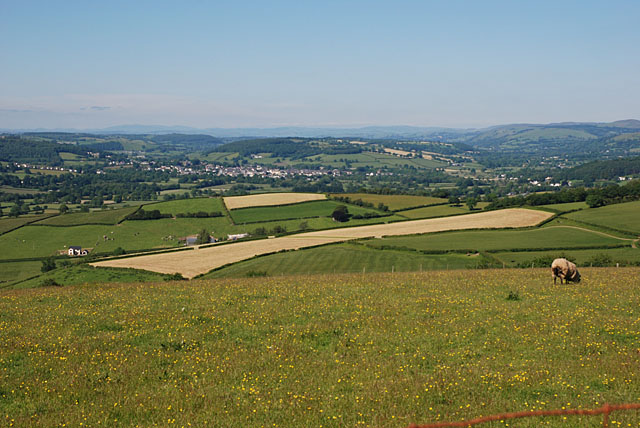
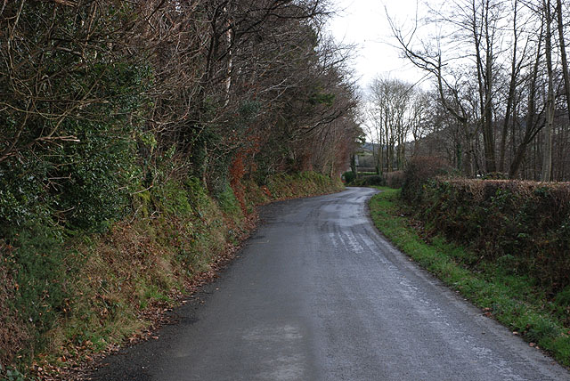
Coed Tanrallt, located in Carmarthenshire, Wales, is a picturesque woodland and forest area renowned for its natural beauty and rich biodiversity. Spanning approximately 100 hectares, this enchanting forest is a popular destination for nature enthusiasts and hikers alike.
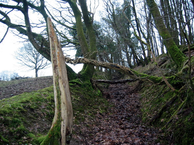
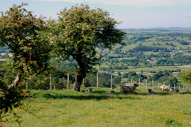
The woodland is predominantly composed of native tree species such as oak, beech, and birch, creating a diverse and vibrant ecosystem. The forest floor is adorned with a plethora of wildflowers, including bluebells and primroses, providing a vibrant display of colors throughout the seasons.
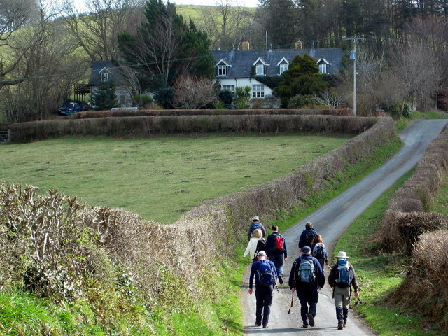
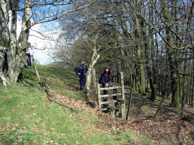
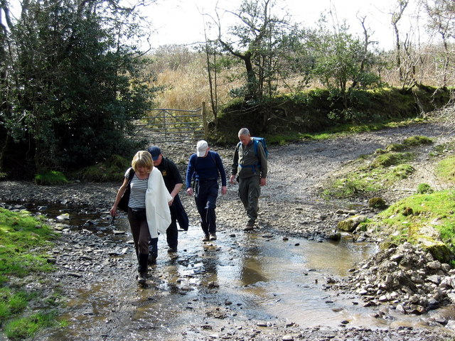
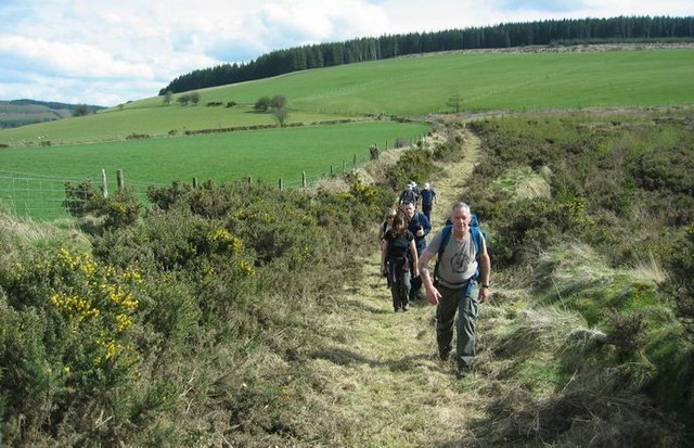
Coed Tanrallt offers a network of well-maintained footpaths, offering visitors the opportunity to explore its various trails and discover hidden gems within the forest. These trails cater to different levels of ability, ensuring that everyone can enjoy the beauty of the woodland.
The forest is home to a wide range of wildlife, including rare and protected species. Visitors may be lucky enough to spot red kites soaring overhead, or catch a glimpse of elusive otters and badgers. Birdwatchers will delight in the diverse bird population, which includes woodpeckers, nuthatches, and various species of owls.
Coed Tanrallt also boasts a Visitors Centre, providing information about the forest's history, wildlife, and conservation efforts. The center offers educational programs and guided tours, aiming to raise awareness about the importance of preserving this natural treasure.
In conclusion, Coed Tanrallt is a charming woodland and forest area in Carmarthenshire, offering visitors a chance to immerse themselves in nature, explore scenic trails, and encounter a wealth of wildlife. Its natural beauty and conservation efforts make it a must-visit destination for enthusiasts of all ages.
If you have any feedback on the listing, please let us know in the comments section below.
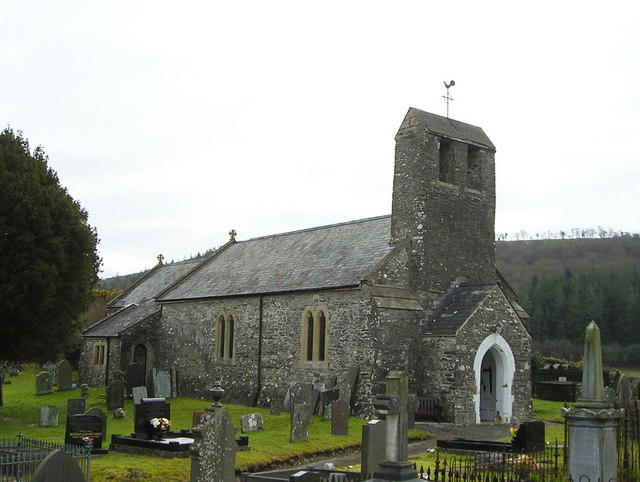
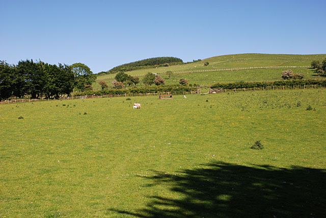
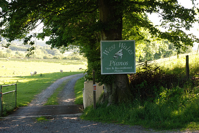
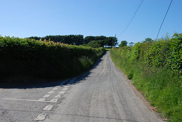
Coed Tanrallt Images
Images are sourced within 2km of 52.06893/-4.1246566 or Grid Reference SN5443. Thanks to Geograph Open Source API. All images are credited.

Coed Tanrallt is located at Grid Ref: SN5443 (Lat: 52.06893, Lng: -4.1246566)
Unitary Authority: Carmarthenshire
Police Authority: Dyfed Powys
What 3 Words
///snipe.doses.chess. Near Lampeter, Ceredigion
Nearby Locations
Related Wikis

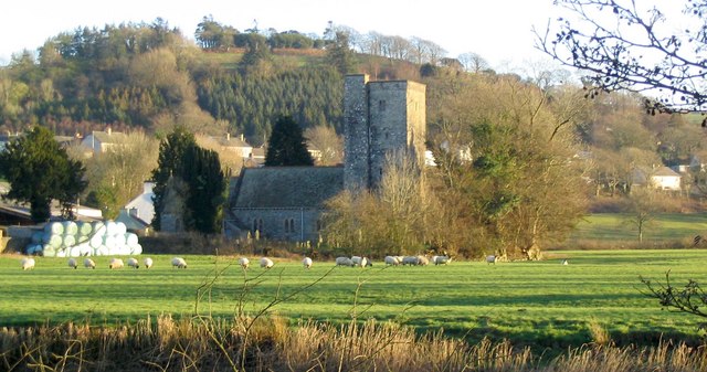
Pencarreg
Pencarreg () is a village and community located in Carmarthenshire, Wales, 4 miles (6.4 km) to the south-west of Lampeter. Settlement is primarily grouped...

Llanybydder railway station
Llanybydder railway station also Llanybyther railway station served the town of Llanybydder on the Carmarthen Aberystwyth Line in the Welsh counties of...
Llanybydder
Llanybydder (Welsh pronunciation: [ˌɬanəˈbəðɛr], sometimes formerly spelt Llanybyther) is a market town and community straddling the River Teifi in Carmarthenshire...
Pencarreg Halt railway station
Pencarreg Halt railway station served the hamlet and rural locale of Pencarreg from 1930 to 1965 on the old Carmarthen Aberystwyth Line in the Welsh county...

Corsydd a Rwyth Cilyblaidd
Corsydd a Rwyth Cilyblaidd is a wetland area that is a Site of Special Scientific Interest in Carmarthen & Dinefwr, Wales. == See also == List of Sites...
Llyn Pencarreg
Llyn Pencarreg is an oligotrophic lake that is Site of Special Scientific Interest in Carmarthen & Dinefwr, Wales. == See also == List of Sites of Special...

Alltyblacca
Alltyblaca is a village in the Welsh county of Ceredigion, Mid-West Wales, located on the road between Llanybydder and Llanwnnen. == The chapel == There...
Mynydd Pencarreg transmitting station
The Mynydd Pencarreg transmitting station is a broadcasting and telecommunications facility located on high ground about 10 kilometres (6.2 mi) south...
Nearby Amenities
Located within 500m of 52.06893,-4.1246566Have you been to Coed Tanrallt?
Leave your review of Coed Tanrallt below (or comments, questions and feedback).