Allt Cwm-Ffinnant

Wood, Forest in Carmarthenshire

Wales

Allt Cwm-Ffinnant

Ordnance Survey Flush Bracket (874) This heavily painted over OS Flush Bracket (874) can be found on the north face of the stables at Bremenda Uchafa. It was used during the Second Geodetic Levelling of England & Wales (1912-21) Carmarthen - Llandovery Levelling Line. Also the Third Geodetic Levelling of England & Wales (1950-68) Llandovery - Carmarthen Levelling Line. It marks a point 81.5330ft above mean sea level.
Ordnance Survey Flush Bracket (874) Credit: Adrian Dust

Allt Cwm-Ffinnant is a picturesque wood located in the county of Carmarthenshire, Wales. With its lush greenery and serene atmosphere, it is a popular destination for nature enthusiasts and hikers alike.

The wood is situated in the heart of the Carmarthenshire countryside, nestled within the rolling hills and valleys. It covers an area of approximately 100 acres, making it a significant woodland in the region. The name "Cwm-Ffinnant" translates to "valley of the white spring" in English, which aptly describes the natural beauty found in this location.

Allt Cwm-Ffinnant is home to a diverse range of flora and fauna. The wood is predominantly made up of deciduous trees, such as oak, beech, and ash, which provide a vibrant display of colors during the autumn months. The forest floor is adorned with a carpet of bluebells and wildflowers in the spring and summer, adding to the enchanting ambiance of the wood.

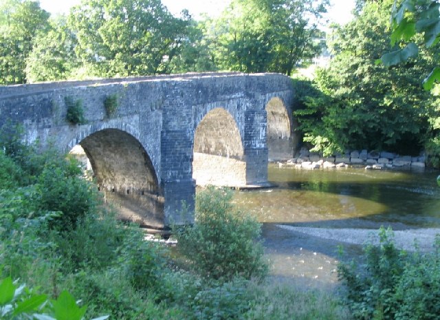
Trails and footpaths weave through the wood, allowing visitors to explore its natural wonders. The paths lead to a small stream that meanders through the woodland, adding to its tranquil charm. The sound of birdsong fills the air, and if lucky, visitors may spot wildlife such as rabbits, squirrels, and various species of birds.

Allt Cwm-Ffinnant is a place of natural beauty and tranquility, offering a peaceful retreat from the hustle and bustle of everyday life. It is a haven for those seeking solace in nature and a must-visit destination for anyone exploring Carmarthenshire.

If you have any feedback on the listing, please let us know in the comments section below.

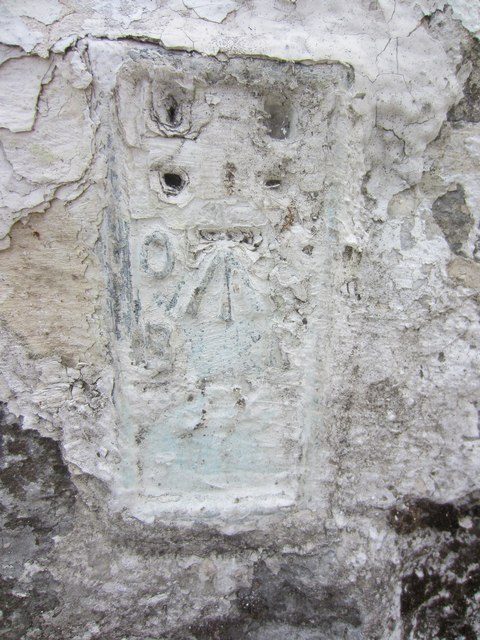
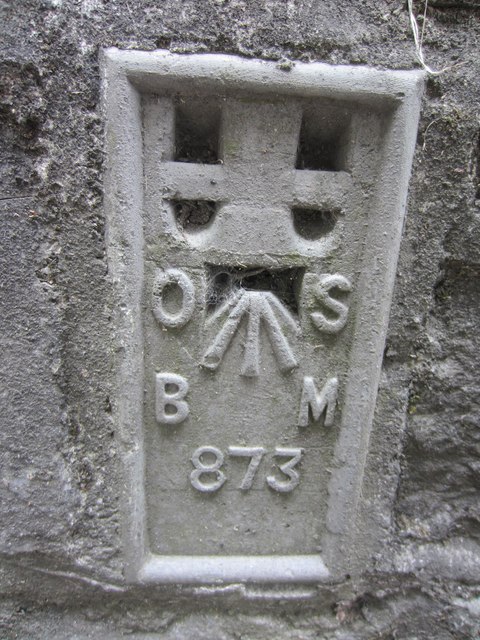
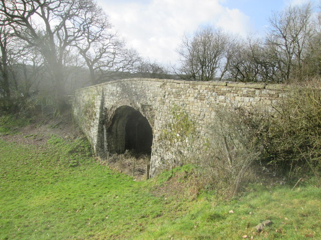
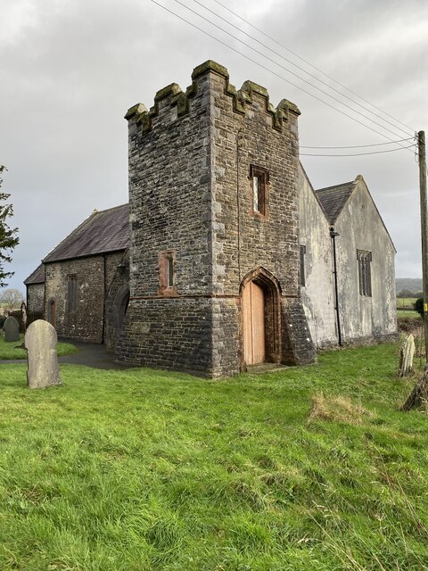
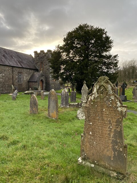
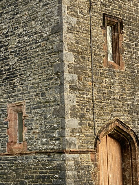
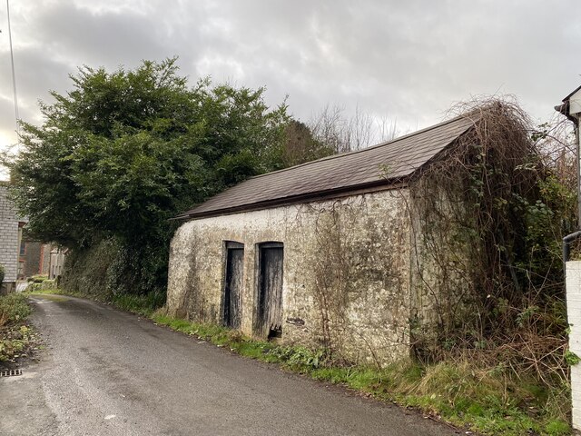
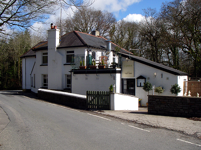
Allt Cwm-Ffinnant Images

Images are sourced within 2km of 51.85591/-4.1627727 or Grid Reference SN5119. Thanks to Geograph Open Source API. All images are credited.
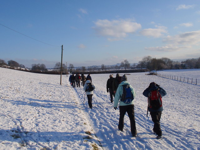
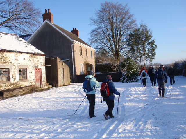
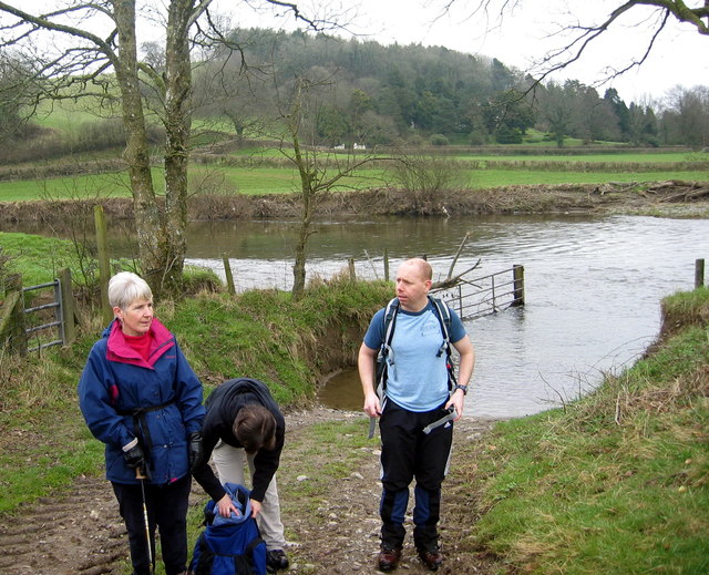
Ordnance Survey Flush Bracket (874) This heavily painted over OS Flush Bracket (874) can be found on the north face of the stables at Bremenda Uchafa. It was used during the Second Geodetic Levelling of England & Wales (1912-21) Carmarthen - Llandovery Levelling Line. Also the Third Geodetic Levelling of England & Wales (1950-68) Llandovery - Carmarthen Levelling Line. It marks a point 81.5330ft above mean sea level.
Ordnance Survey Flush Bracket (874)
This heavily painted over OS Flush Bracket (874) can be found on the north face of the stables at Bremenda Uchafa. It was used during the Second Geodetic Levelling of England & Wales (1912-21) Carmarthen - Llandovery Levelling Line. Also the Third Geodetic Levelling of England & Wales (1950-68) Llandovery - Carmarthen Levelling Line. It marks a point 81.5330ft above mean sea level.
Ordnance Survey Flush Bracket (873) This OS Flush Bracket (873) can be found on the south east face of Pont ar Ffinnant. It was used during the Second Geodetic Levelling of England & Wales (1912-21) Carmarthen - Llandovery Levelling Line. Also the Third Geodetic Levelling of England & Wales (1950-68) Llandovery - Carmarthen Levelling Line. It marks a point 63.6340ft above mean sea level.
Ordnance Survey Flush Bracket (873)
This OS Flush Bracket (873) can be found on the south east face of Pont ar Ffinnant. It was used during the Second Geodetic Levelling of England & Wales (1912-21) Carmarthen - Llandovery Levelling Line. Also the Third Geodetic Levelling of England & Wales (1950-68) Llandovery - Carmarthen Levelling Line. It marks a point 63.6340ft above mean sea level.
Llwybr Llwchgwyn Path Cerddwyr yn dilyn llwybr cyhoeddus tuag at Ffarm Llwchgwyn.

Walkers following a public footpath in the direction of Llwchgwyn Farm (trans. fair lake/ pond?).
Llwybr Llwchgwyn Path
Cerddwyr yn dilyn llwybr cyhoeddus tuag at Ffarm Llwchgwyn. Walkers following a public footpath in the direction of Llwchgwyn Farm (trans. fair lake/ pond?).
Ffarm Llwch Gwyn Farm Cerddwyr yn mynd heibio i Ffarm Llwchgwyn wrth iddynt anelu at bentre Llanegwad.

Walkers passing Llwchgwyn Farm (trans. fair pond / lake?) on route to the village of Llanegwad (St Egwad's Church).
Ffarm Llwch Gwyn Farm
Cerddwyr yn mynd heibio i Ffarm Llwchgwyn wrth iddynt anelu at bentre Llanegwad. Walkers passing Llwchgwyn Farm (trans. fair pond / lake?) on route to the village of Llanegwad (St Egwad's Church).
Llwybr Afon Cothi Path Cerddwyr yn cael seibiant ar lan Afon Cothi. Mae'r ffarmwr yn rhydio'r afon yn y fan hon gan fod tir ganddo ar yr ochr arall. 

Walkers having a rest on the banks on the Cothi River. The farmer fords the river at this location as he owns land on the other side.
Llwybr Afon Cothi Path
Cerddwyr yn cael seibiant ar lan Afon Cothi. Mae'r ffarmwr yn rhydio'r afon yn y fan hon gan fod tir ganddo ar yr ochr arall. Walkers having a rest on the banks on the Cothi River. The farmer fords the river at this location as he owns land on the other side.
Derlwyn Isaf Cerddwyr yn agosau at anhedd-dy o'r enw Derlwyn Isaf.

Walkers approaching a property known as Derlwyn Isaf (Trans [lower] oakgrove)
Derlwyn Isaf
Cerddwyr yn agosau at anhedd-dy o'r enw Derlwyn Isaf. Walkers approaching a property known as Derlwyn Isaf (Trans [lower] oakgrove)
Ordnance Survey Cut Mark This OS cut mark can be found on the east face of St Egwad's Church. It marks a point 20.203m above mean sea level. <a title="https://www.geograph.org.uk/photo/4369353" href="https://www.geograph.org.uk/photo/4369353">Link</a>
Ordnance Survey Cut Mark
This OS cut mark can be found on the east face of St Egwad's Church. It marks a point 20.203m above mean sea level. Link
St Egwad's Church There is an Ordnance Survey cut mark on the east face. <a title="https://www.geograph.org.uk/photo/4369350" href="https://www.geograph.org.uk/photo/4369350">Link</a>
St Egwad's Church
There is an Ordnance Survey cut mark on the east face. Link
Ordnance Survey Rivet This OS rivet can be found on the east parapet of the railway bridge. It marks a point 23.302m above mean sea level. <a title="https://www.geograph.org.uk/photo/4369367" href="https://www.geograph.org.uk/photo/4369367">Link</a>
Ordnance Survey Rivet
This OS rivet can be found on the east parapet of the railway bridge. It marks a point 23.302m above mean sea level. Link
Railway Bridge Dismantled railway line. There is an Ordnance Survey rivet on the east parapet of the bridge. <a title="https://www.geograph.org.uk/photo/4369363" href="https://www.geograph.org.uk/photo/4369363">Link</a>
Railway Bridge
Dismantled railway line. There is an Ordnance Survey rivet on the east parapet of the bridge. Link
Llanegwad church Church of St Egwad, a minor 7th century Welsh Saint.
Llanegwad church
Church of St Egwad, a minor 7th century Welsh Saint.
Tyllandre, Llanegwad A Grade II listed building.

According to <span class="nowrap"><a title="https://britishlistedbuildings.co.uk:" rel="nofollow ugc noopener" href="https://britishlistedbuildings.co.uk:">Link</a><img style="margin-left:2px;" alt="External link" title="External link - shift click to open in new window" src="https://s1.geograph.org.uk/img/external.png" width="10" height="10"/></span>  Listed as a C17 house retaining its vernacular character, and for group value with other associated listed items contributing to the historic integrity of the village.
Tyllandre, Llanegwad
A Grade II listed building. According to LinkExternal link Listed as a C17 house retaining its vernacular character, and for group value with other associated listed items contributing to the historic integrity of the village.
Old oak tree, Llanegwad With a holly bush growing out of its trunk.  The cobbled path leads down to the church of St Egwad.  The purpose of the steps is not known.  Any suggestions?
Old oak tree, Llanegwad
With a holly bush growing out of its trunk. The cobbled path leads down to the church of St Egwad. The purpose of the steps is not known. Any suggestions?
Llanegwad churchyard towards dusk
Detail of the tower of St Egwad’s Church Note the use of old red sandstone as a decorative feature around windows and door.
Detail of the tower of St Egwad’s Church
Note the use of old red sandstone as a decorative feature around windows and door.
Old barn in Llanegwad
Pub The pub 'Y Polyn'.
Pub
The pub 'Y Polyn'.
Bridge over the river Towy near Nantgaredig This bridge is on the road to Nantgaredig, which is to the north, on the other side of the bridge in the picture.
Bridge over the river Towy near Nantgaredig
This bridge is on the road to Nantgaredig, which is to the north, on the other side of the bridge in the picture.
Show me another place!

Allt Cwm-Ffinnant is located at Grid Ref: SN5119 (Lat: 51.85591, Lng: -4.1627727)

Unitary Authority: Carmarthenshire

Police Authority: Dyfed Powys

What 3 Words

///poet.together.thread. Near Llanddarog, Carmarthenshire

Related Wikis

Afon Cothi

The Afon Cothi (also known as the River Cothy) in Carmarthenshire is the largest tributary of the River Tywi in south Wales. From its source at Blaen Cothi...

Llanegwad

Llanegwad () is a village and community located in Carmarthenshire, Wales. The population taken at the 2011 census was 1,473.Llanegwad is built up mainly...

Pont-ar-Gothi

Pont-ar-gothi (otherwise Pontargothi or Cothi Bridge) is a village in Carmarthenshire, West Wales. The village takes its name from the bridge where the...

Nantgaredig railway station

Nantgaredig railway station served to village of Nantgaredig, Carmarthenshire, Wales from 1865 to 1963 on the Llanelly Railway. == History == The station...

National Botanic Garden of Wales

The National Botanic Garden of Wales (Welsh: Gardd Fotaneg Genedlaethol Cymru) is a botanical garden located in Llanarthney in the River Tywi valley, Carmarthenshire...

Llanarthney

Llanarthney (Welsh: Llanarthne; ) is a village and community in Carmarthenshire, south-west Wales. It is situated on the B4300 road, 12 km (7.5 miles)...

Llanarthney Halt railway station

Llanarthney railway station served the village of Llanarthney, in the historical county of Carmarthenshire, Wales, from 1865 to 1963 on the Llanelly Railway...

District of Carmarthen

Carmarthen District Council (Welsh: Caerfyrddin) was one of six local government districts of the county of Dyfed, west Wales, from 1974 to 1996. ��2...

Nearby Amenities

Located within 500m of 51.85591,-4.1627727
The data included in this document is from www.openstreetmap.org. The data is made available under ODbL.

Have you been to Allt Cwm-Ffinnant?

Leave your review of Allt Cwm-Ffinnant below (or comments, questions and feedback).