Glascoed

Settlement in Carmarthenshire

Wales

Glascoed

Ordnance Survey Flush Bracket (874) This heavily painted over OS Flush Bracket (874) can be found on the north face of the stables at Bremenda Uchafa. It was used during the Second Geodetic Levelling of England & Wales (1912-21) Carmarthen - Llandovery Levelling Line. Also the Third Geodetic Levelling of England & Wales (1950-68) Llandovery - Carmarthen Levelling Line. It marks a point 81.5330ft above mean sea level.
Ordnance Survey Flush Bracket (874) Credit: Adrian Dust

Glascoed is a small village located in Carmarthenshire, Wales. Situated on the eastern edge of the county, the village is nestled within the picturesque countryside, offering stunning views of rolling hills and lush greenery. It is approximately 12 miles north of the county town, Carmarthen.

Historically, Glascoed is known for its ties to the mining industry. In the 19th century, coal mining played a significant role in the village's development, attracting a growing population. However, as the industry declined, Glascoed underwent a gradual transformation, with a shift towards agriculture and a more rural way of life.

Today, the village maintains its rural charm and tranquility. It is home to a close-knit community, with a population of around 300 people. The village features a handful of traditional Welsh stone cottages, adding to its quaint character.

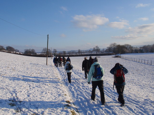
Glascoed benefits from its proximity to the Brecon Beacons National Park, providing residents and visitors with ample opportunities for outdoor activities such as hiking, cycling, and wildlife spotting. The nearby River Towy also offers fishing and boating opportunities.

While Glascoed is primarily a residential area, it does have a few amenities, including a village hall and a local pub. For more extensive amenities, residents can easily access the nearby towns of Carmarthen and Llandeilo, which offer a wider range of services, shops, and leisure facilities.

Overall, Glascoed is a peaceful village that offers a tranquil lifestyle surrounded by the natural beauty of the Carmarthenshire countryside.

If you have any feedback on the listing, please let us know in the comments section below.
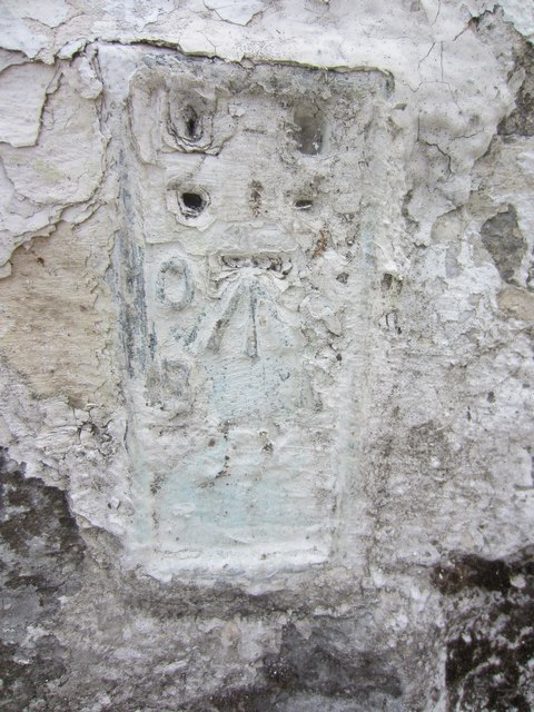
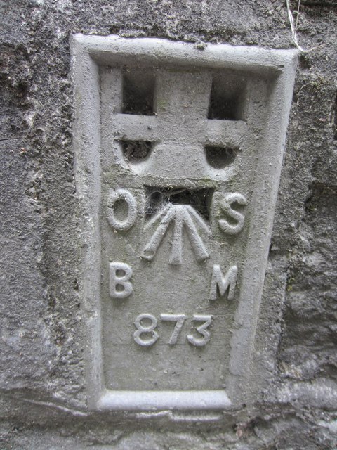
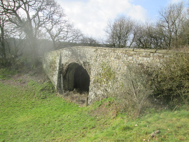
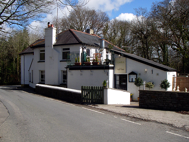
Glascoed Images

Images are sourced within 2km of 51.849653/-4.1646361 or Grid Reference SN5119. Thanks to Geograph Open Source API. All images are credited.

Ordnance Survey Flush Bracket (874) This heavily painted over OS Flush Bracket (874) can be found on the north face of the stables at Bremenda Uchafa. It was used during the Second Geodetic Levelling of England & Wales (1912-21) Carmarthen - Llandovery Levelling Line. Also the Third Geodetic Levelling of England & Wales (1950-68) Llandovery - Carmarthen Levelling Line. It marks a point 81.5330ft above mean sea level.
Ordnance Survey Flush Bracket (874)
This heavily painted over OS Flush Bracket (874) can be found on the north face of the stables at Bremenda Uchafa. It was used during the Second Geodetic Levelling of England & Wales (1912-21) Carmarthen - Llandovery Levelling Line. Also the Third Geodetic Levelling of England & Wales (1950-68) Llandovery - Carmarthen Levelling Line. It marks a point 81.5330ft above mean sea level.
Ordnance Survey Flush Bracket (873) This OS Flush Bracket (873) can be found on the south east face of Pont ar Ffinnant. It was used during the Second Geodetic Levelling of England & Wales (1912-21) Carmarthen - Llandovery Levelling Line. Also the Third Geodetic Levelling of England & Wales (1950-68) Llandovery - Carmarthen Levelling Line. It marks a point 63.6340ft above mean sea level.
Ordnance Survey Flush Bracket (873)
This OS Flush Bracket (873) can be found on the south east face of Pont ar Ffinnant. It was used during the Second Geodetic Levelling of England & Wales (1912-21) Carmarthen - Llandovery Levelling Line. Also the Third Geodetic Levelling of England & Wales (1950-68) Llandovery - Carmarthen Levelling Line. It marks a point 63.6340ft above mean sea level.
Llwybr Llwchgwyn Path Cerddwyr yn dilyn llwybr cyhoeddus tuag at Ffarm Llwchgwyn.

Walkers following a public footpath in the direction of Llwchgwyn Farm (trans. fair lake/ pond?).
Llwybr Llwchgwyn Path
Cerddwyr yn dilyn llwybr cyhoeddus tuag at Ffarm Llwchgwyn. Walkers following a public footpath in the direction of Llwchgwyn Farm (trans. fair lake/ pond?).
Ordnance Survey Rivet This OS rivet can be found on the east parapet of the railway bridge. It marks a point 23.302m above mean sea level. <a title="https://www.geograph.org.uk/photo/4369367" href="https://www.geograph.org.uk/photo/4369367">Link</a>
Ordnance Survey Rivet
This OS rivet can be found on the east parapet of the railway bridge. It marks a point 23.302m above mean sea level. Link
Railway Bridge Dismantled railway line. There is an Ordnance Survey rivet on the east parapet of the bridge. <a title="https://www.geograph.org.uk/photo/4369363" href="https://www.geograph.org.uk/photo/4369363">Link</a>
Railway Bridge
Dismantled railway line. There is an Ordnance Survey rivet on the east parapet of the bridge. Link
Looking south The bridge is over the Nant Pibwr not far from its source.
Looking south
The bridge is over the Nant Pibwr not far from its source.
Pub The pub 'Y Polyn'.
Pub
The pub 'Y Polyn'.
Car Park and Picnic Area on the B4300 A small car park and some picnic tables in the trees on the eastbound B4300 between Capel Dewi and Llanarthne.
Car Park and Picnic Area on the B4300
A small car park and some picnic tables in the trees on the eastbound B4300 between Capel Dewi and Llanarthne.
Towy valley floor 1 Looking north-west near Penybanc Uchaf.
Towy valley floor 1
Looking north-west near Penybanc Uchaf.
View to Bremenda Isaf Within the pastoral countryside of the Towy valley.
View to Bremenda Isaf
Within the pastoral countryside of the Towy valley.
River Towy Looking east from the southern end of the Llandilo-yr-ynys Bridge.
River Towy
Looking east from the southern end of the Llandilo-yr-ynys Bridge.
Phone box by the B4310 near the Botanic Gardens of Wales
Lake: National Botanic Garden of Wales
National Botanic Garden of Wales on a mid November afternoon Visitors to the Gardens making their way to the exit as the November afternoon sun highlights the fountain at the Entrance building
National Botanic Garden of Wales on a mid November afternoon
Visitors to the Gardens making their way to the exit as the November afternoon sun highlights the fountain at the Entrance building
Pi Sculpture The view to Nelsons Tower from the National Botanic Garden of Wales.
Pi Sculpture
The view to Nelsons Tower from the National Botanic Garden of Wales.
Japanese Garden The view in the National Botanic Garden of Wales.
Japanese Garden
The view in the National Botanic Garden of Wales.
Carp in pool Fish pool in lowest part of Great Glass House
Carp in pool
Fish pool in lowest part of Great Glass House
Great Glass House Carreg-las Morris Dancer performing in this beautiful setting.
Great Glass House
Carreg-las Morris Dancer performing in this beautiful setting.
Show me another place!

Glascoed is located at Grid Ref: SN5119 (Lat: 51.849653, Lng: -4.1646361)

Unitary Authority: Carmarthenshire

Police Authority: Dyfed Powys

What 3 Words

///trap.sock.headings. Near Llanddarog, Carmarthenshire

Related Wikis

National Botanic Garden of Wales

The National Botanic Garden of Wales (Welsh: Gardd Fotaneg Genedlaethol Cymru) is a botanical garden located in Llanarthney in the River Tywi valley, Carmarthenshire...

District of Carmarthen

Carmarthen District Council (Welsh: Caerfyrddin) was one of six local government districts of the county of Dyfed, west Wales, from 1974 to 1996. ��2...

Afon Cothi

The Afon Cothi (also known as the River Cothy) in Carmarthenshire is the largest tributary of the River Tywi in south Wales. From its source at Blaen Cothi...

Nantgaredig railway station

Nantgaredig railway station served to village of Nantgaredig, Carmarthenshire, Wales from 1865 to 1963 on the Llanelly Railway. == History == The station...

Nearby Amenities

Located within 500m of 51.849653,-4.1646361
Turning Loop
Lat/Long: 51.8466073/-4.162759
Telephone
Booth: K6
Covered: booth
Man Made: telephone_box
Lat/Long: 51.8461494/-4.1662363
Barrier: kissing_gate
Lat/Long: 51.846296/-4.1664191
Barrier: kissing_gate
Fixme: approx position
Lat/Long: 51.8467179/-4.1653996
The data included in this document is from www.openstreetmap.org. The data is made available under ODbL.

Have you been to Glascoed?

Leave your review of Glascoed below (or comments, questions and feedback).