Coed Llwynonn
Wood, Forest in Anglesey
Wales
Coed Llwynonn
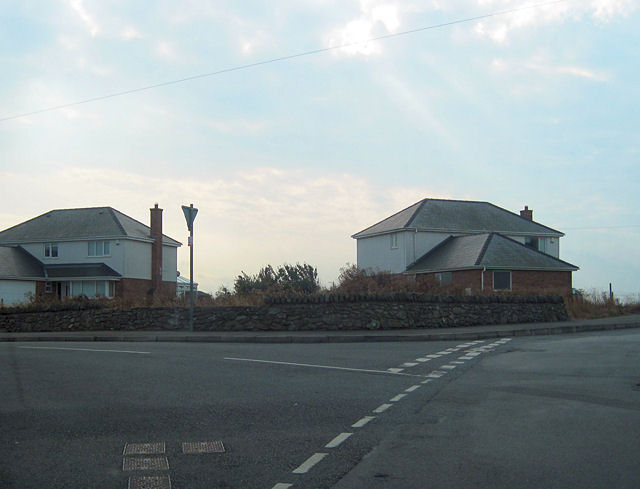
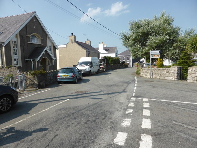
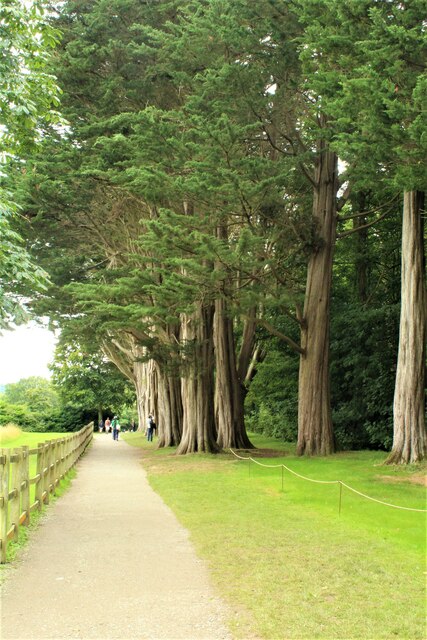
Coed Llwynonn, located in Anglesey, Wales, is a picturesque woodland area known for its natural beauty and rich biodiversity. Covering an area of approximately 200 acres, this ancient woodland is a haven for wildlife and a popular destination for nature enthusiasts.
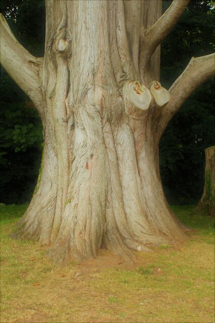
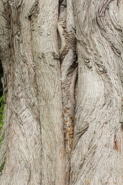
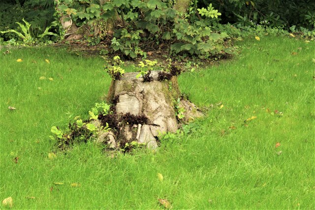
The woodland is predominantly composed of native broadleaf trees such as oak, birch, and rowan, creating a diverse and vibrant ecosystem. Coed Llwynonn boasts a variety of habitats, including wetland areas, meadows, and a small stream that runs through the forest, providing a suitable environment for a wide range of flora and fauna.
Visitors to Coed Llwynonn can enjoy a network of well-maintained footpaths and trails that wind through the forest, offering a chance to explore its natural wonders. The peaceful atmosphere and tranquil surroundings make it an ideal spot for walking, birdwatching, or simply enjoying a picnic amidst nature.
The woodland is home to an abundance of wildlife, including species such as red squirrels, badgers, foxes, and a variety of bird species. The area is particularly renowned for its bird population, with many rare and migratory species making Coed Llwynonn their temporary or permanent home.
Coed Llwynonn is managed by a local conservation organization that aims to preserve its unique ecosystem and protect its wildlife. They regularly organize educational events and guided walks to promote awareness about the importance of biodiversity conservation.
In summary, Coed Llwynonn is a breathtaking woodland sanctuary in Anglesey, offering a chance to immerse oneself in the beauty of nature while discovering the rich diversity of flora and fauna that call this ancient forest their home.
If you have any feedback on the listing, please let us know in the comments section below.
Coed Llwynonn Images
Images are sourced within 2km of 53.20304/-4.2315633 or Grid Reference SH5169. Thanks to Geograph Open Source API. All images are credited.
Coed Llwynonn is located at Grid Ref: SH5169 (Lat: 53.20304, Lng: -4.2315633)
Unitary Authority: Isle of Anglesey
Police Authority: North Wales
What 3 Words
///deal.atlas.building. Near Y Felinheli, Gwynedd
Nearby Locations
Related Wikis
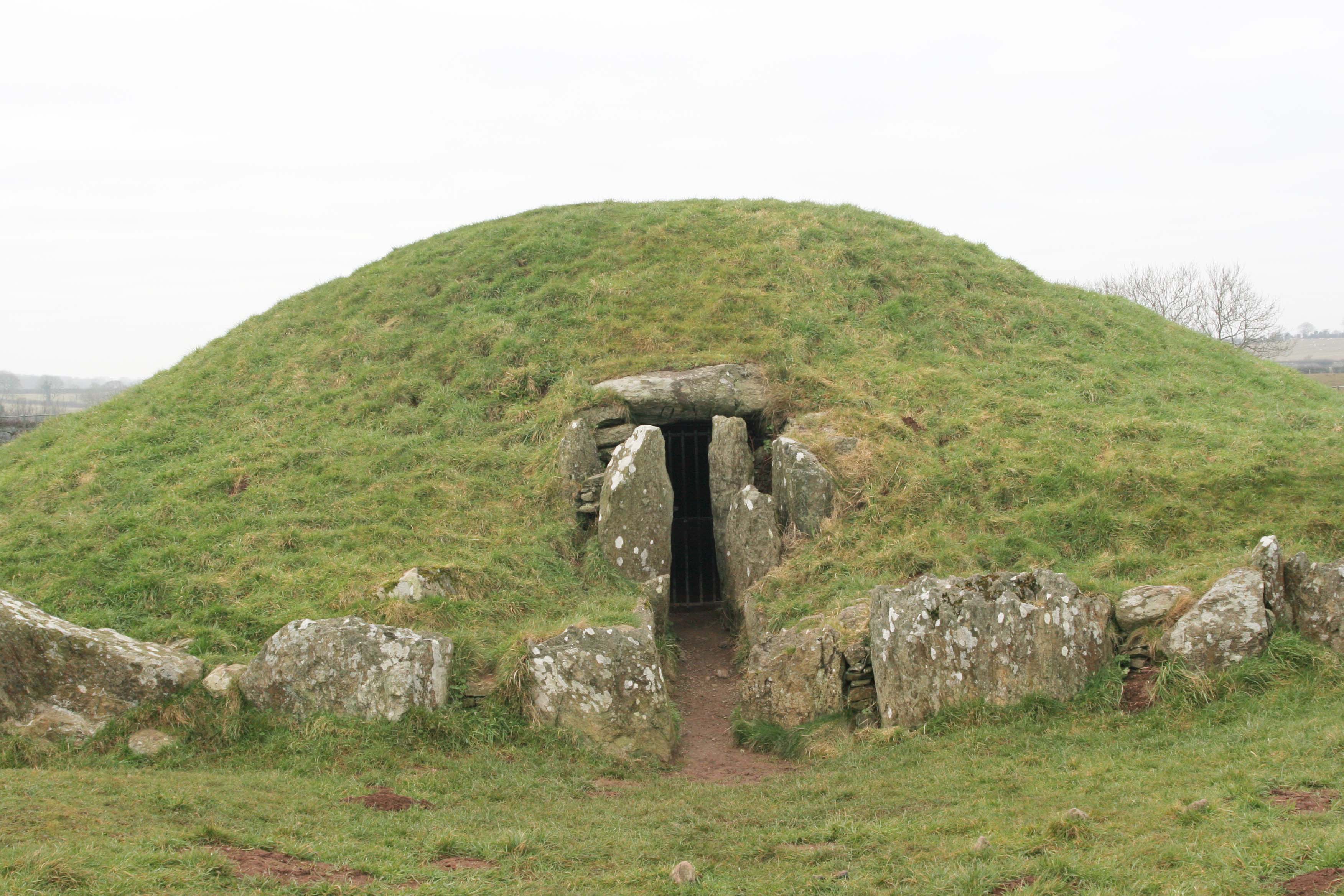
Bryn Celli Ddu
Bryn Celli Ddu (Welsh pronunciation: [brʌn keːɬi ðɨː]) is a prehistoric site on the Welsh island of Anglesey located near Llanddaniel Fab. Its name means...

HMS Conway (school ship)
HMS Conway was a naval training school or "school ship", founded in 1859 and housed for most of her life aboard a 19th-century wooden ship of the line...

Plas Newydd (Anglesey)
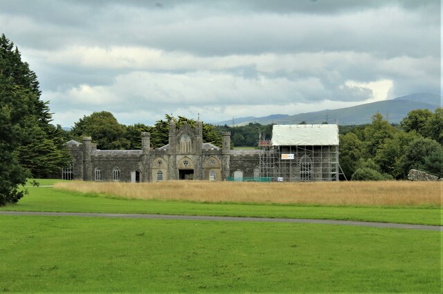
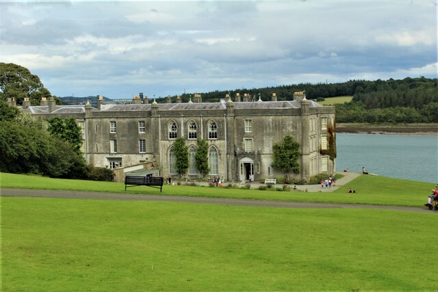
Plas Newydd is a country house set in gardens, parkland and surrounding woodland on the north bank of the Menai Strait, in Llanddaniel Fab, near Llanfairpwllgwyngyll...

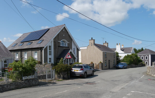
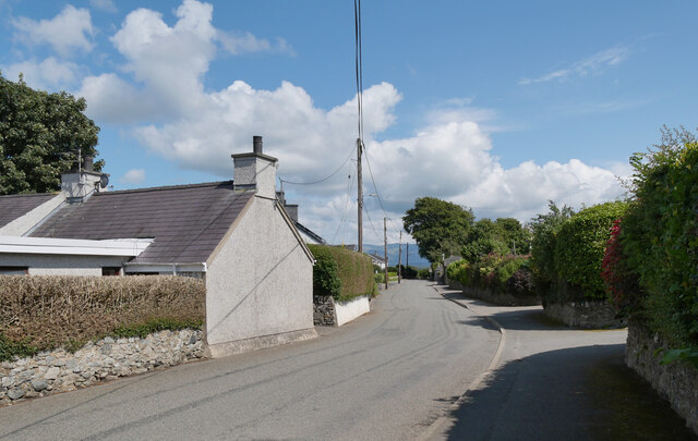
Llanedwen
Llanedwen is a village in the community of Llanddaniel Fab, Anglesey, Wales, which is 126.5 miles (203.6 km) from Cardiff and 208.8 miles (336 km) from...

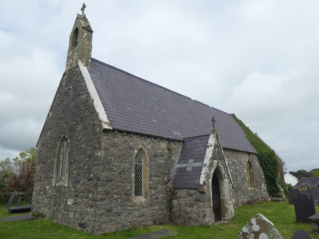
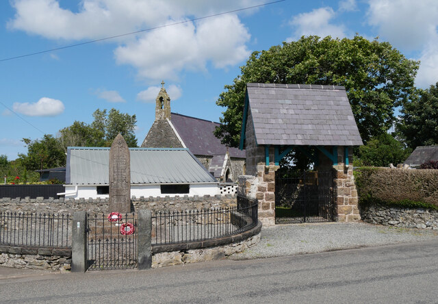
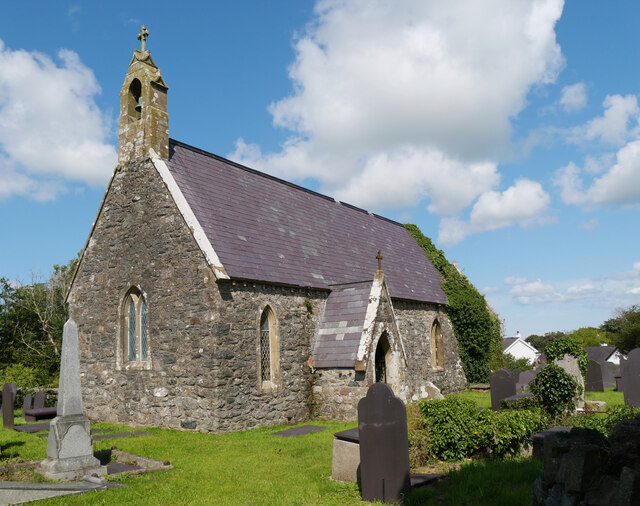
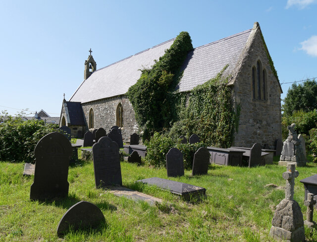
St Edwen's Church, Llanedwen
St Edwen's Church, Llanedwen, is a 19th-century parish church near the Menai Strait, in Anglesey, north Wales. The first church was founded here by St...

Llanddaniel Fab
Llanddaniel Fab (or Llanddaniel-fab; formerly Llanddeiniol-fab) is a village and community in the south of Anglesey, Wales. At the 2001 census it had a...
St Deiniol's Church, Llanddaniel Fab
St Deiniol's Church, Llanddaniel Fab, is a small 19th-century parish church in the centre of Llanddaniel Fab, a village in Anglesey, north Wales. The first...
Moel-y-don
Moel-y-don is a community in Llanddaniel Fab, Anglesey, Wales, which is 126 miles (202.7 km) from Cardiff and 208.1 miles (334.9 km) from London. ��2...
Nearby Amenities
Located within 500m of 53.20304,-4.2315633Have you been to Coed Llwynonn?
Leave your review of Coed Llwynonn below (or comments, questions and feedback).