Dairy Wood
Wood, Forest in Anglesey
Wales
Dairy Wood
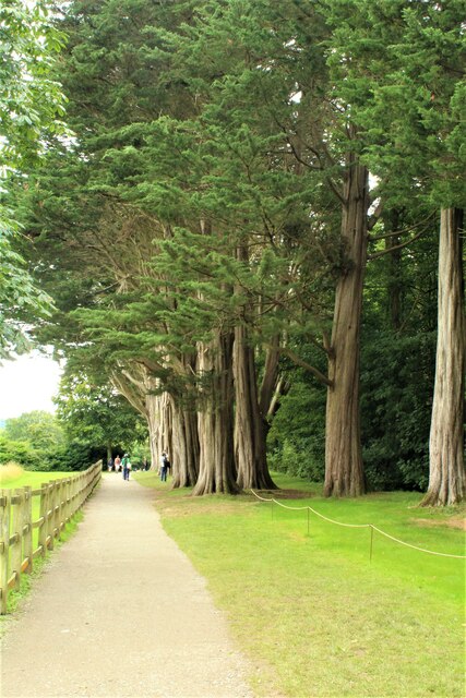
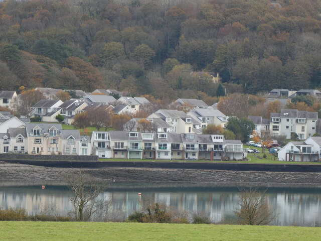
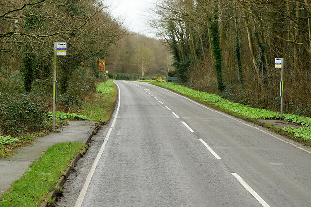
Dairy Wood is a picturesque forest located in Anglesey, a beautiful island in North Wales. Covering an area of approximately 100 acres, this woodland offers a tranquil escape from the bustling city life.
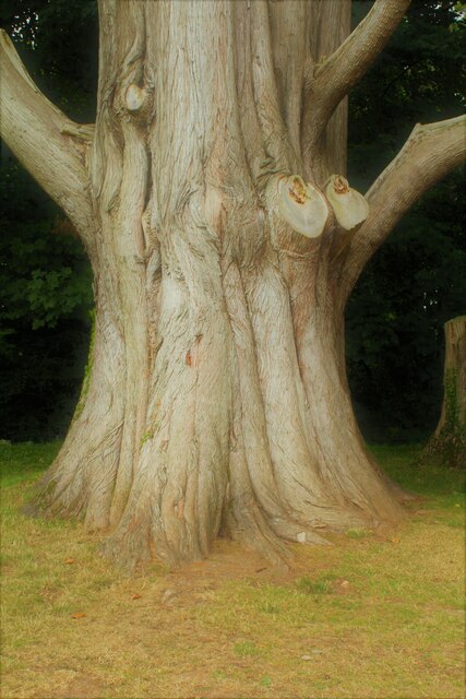
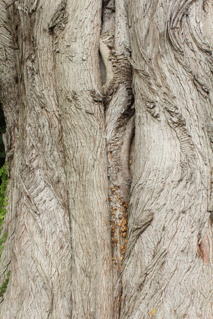
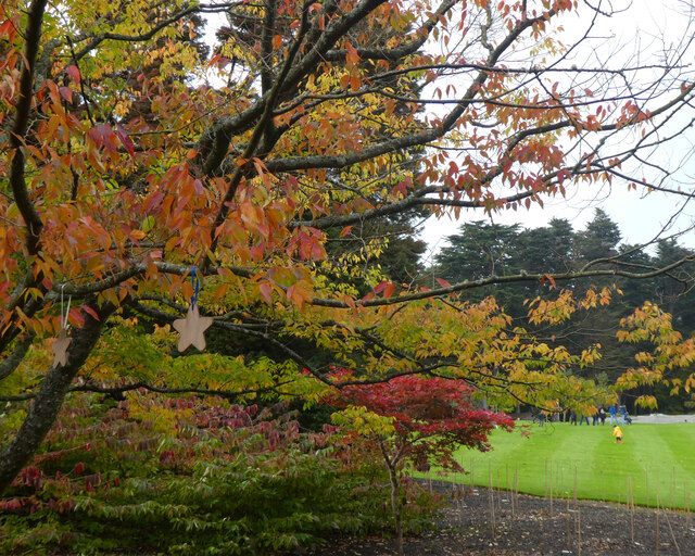
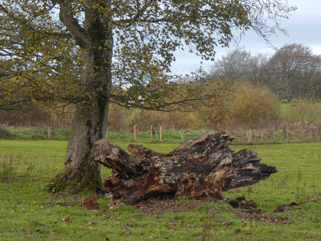
The forest is predominantly made up of mixed deciduous trees, including oak, beech, and birch, which provide a stunning array of colors during the autumn season. The dense canopy of leaves allows only dappled sunlight to filter through, creating a magical ambiance for visitors.
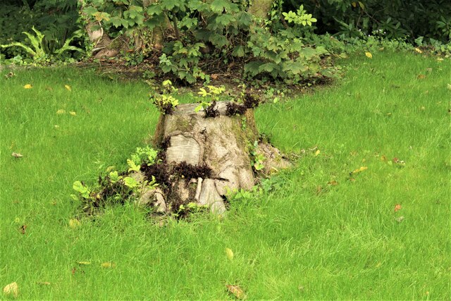
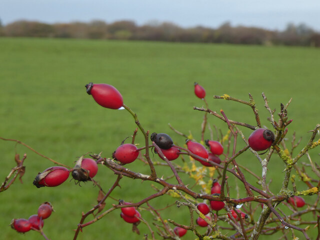
Dairy Wood is home to a diverse range of wildlife, making it a haven for nature enthusiasts. Squirrels can often be spotted scampering through the trees, while a variety of bird species, such as woodpeckers and thrushes, fill the air with their melodious songs. The forest also boasts a rich array of flora, with bluebells carpeting the forest floor in spring and wild garlic releasing its distinct aroma.
Several well-maintained walking trails wind through the forest, allowing visitors to explore its beauty at their own pace. These paths lead to a small stream that meanders through the woodland, providing a peaceful setting for picnics or moments of reflection.
Dairy Wood is a popular destination for locals and tourists alike, offering a serene environment for relaxation and reconnecting with nature. With its enchanting scenery and abundant wildlife, this woodland is a true gem on the island of Anglesey.
If you have any feedback on the listing, please let us know in the comments section below.
Dairy Wood Images
Images are sourced within 2km of 53.203389/-4.2210697 or Grid Reference SH5169. Thanks to Geograph Open Source API. All images are credited.

Dairy Wood is located at Grid Ref: SH5169 (Lat: 53.203389, Lng: -4.2210697)
Unitary Authority: Isle of Anglesey
Police Authority: North Wales
What 3 Words
///munched.hillsides.displays. Near Y Felinheli, Gwynedd
Nearby Locations
Related Wikis

HMS Conway (school ship)
HMS Conway was a naval training school or "school ship", founded in 1859 and housed for most of her life aboard a 19th-century wooden ship of the line...

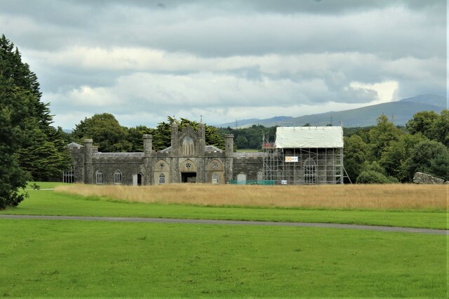
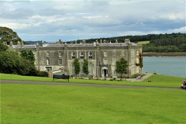
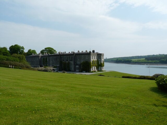
Plas Newydd (Anglesey)
Plas Newydd is a country house set in gardens, parkland and surrounding woodland on the north bank of the Menai Strait, in Llanddaniel Fab, near Llanfairpwllgwyngyll...
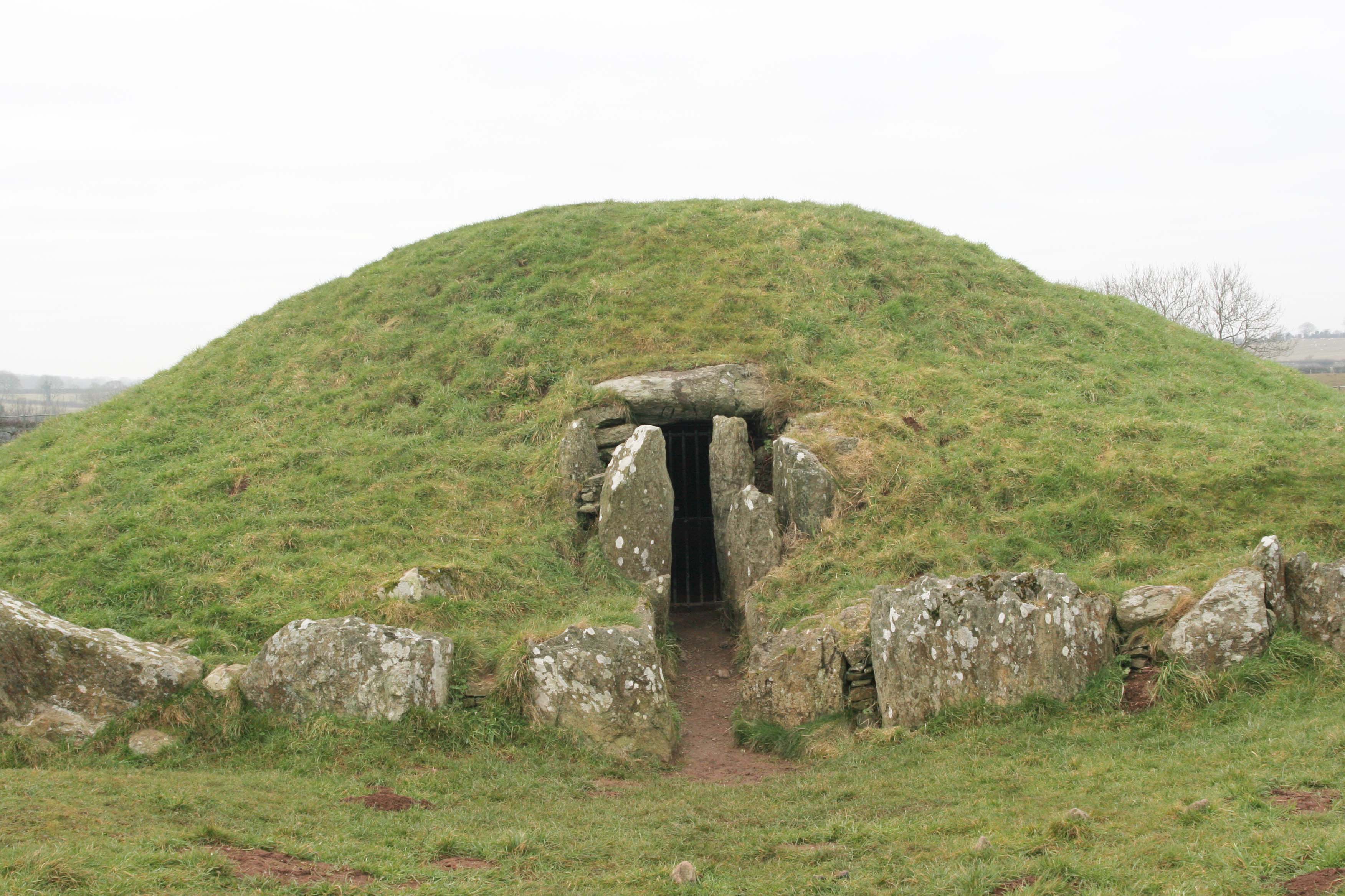
Bryn Celli Ddu
Bryn Celli Ddu (Welsh pronunciation: [ˌbrɪn kɛɬi ˈðɨː]) is a prehistoric site on the Welsh island of Anglesey located near Llanddaniel Fab. Its name means...

St Edwen's Church, Llanedwen
St Edwen's Church, Llanedwen, is a 19th-century parish church near the Menai Strait, in Anglesey, north Wales. The first church was founded here by St...
Nearby Amenities
Located within 500m of 53.203389,-4.2210697Have you been to Dairy Wood?
Leave your review of Dairy Wood below (or comments, questions and feedback).