Llŵyn Bonc

Wood, Forest in Anglesey

Wales

Llŵyn Bonc

Bochau cochion / Rosehips
Bochau cochion / Rosehips Credit: Ceri Thomas

The requested URL returned error: 429 Too Many Requests

If you have any feedback on the listing, please let us know in the comments section below.
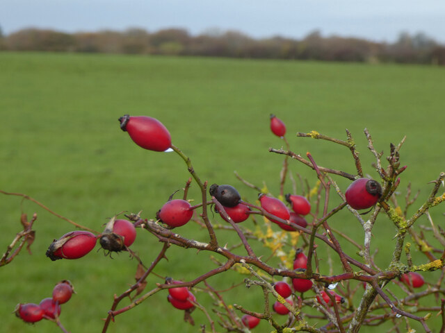
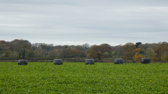
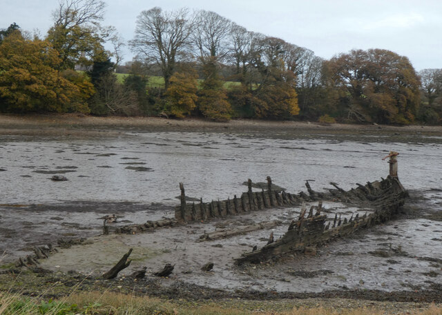
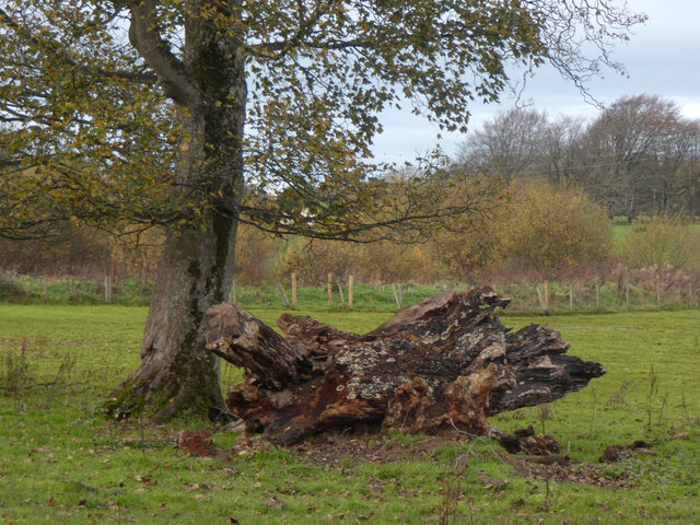
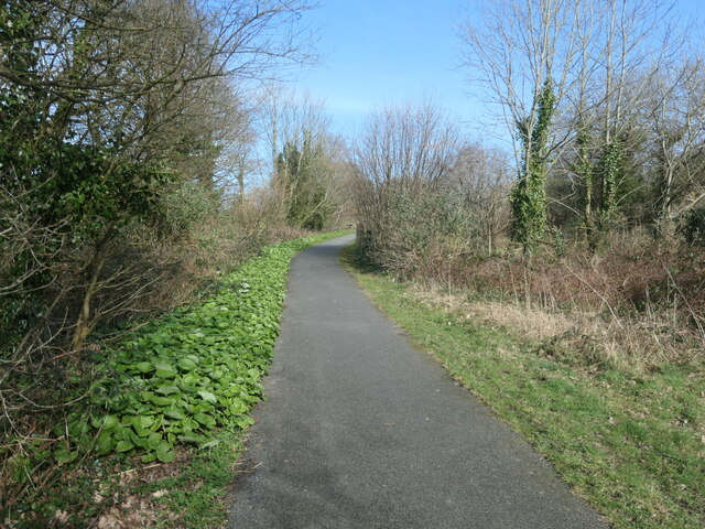
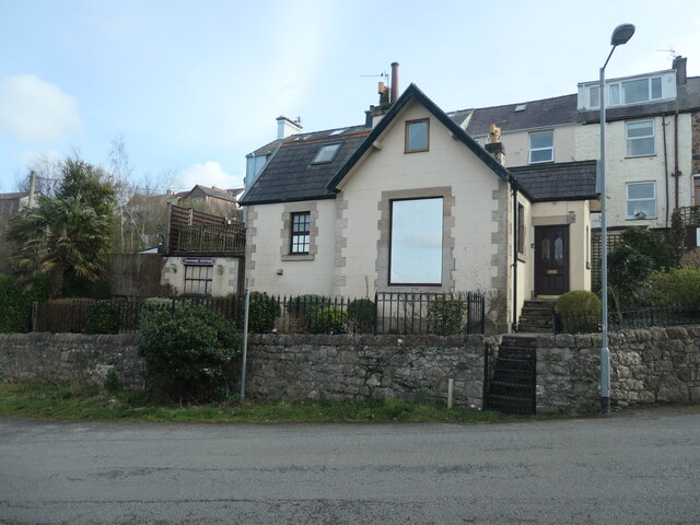
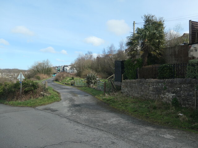
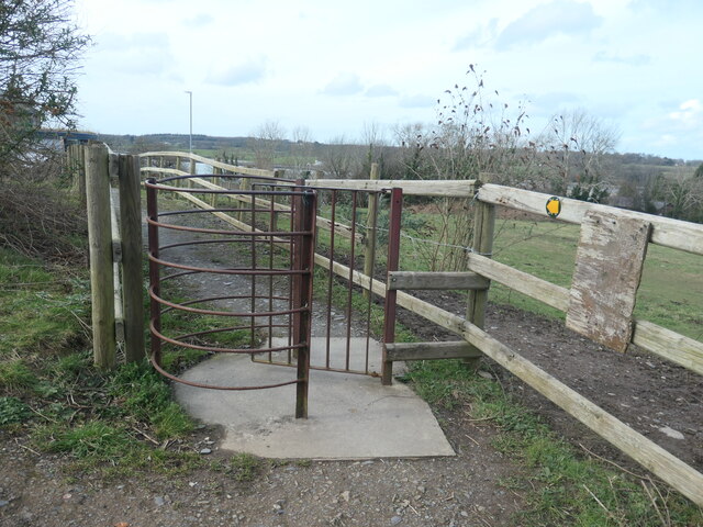
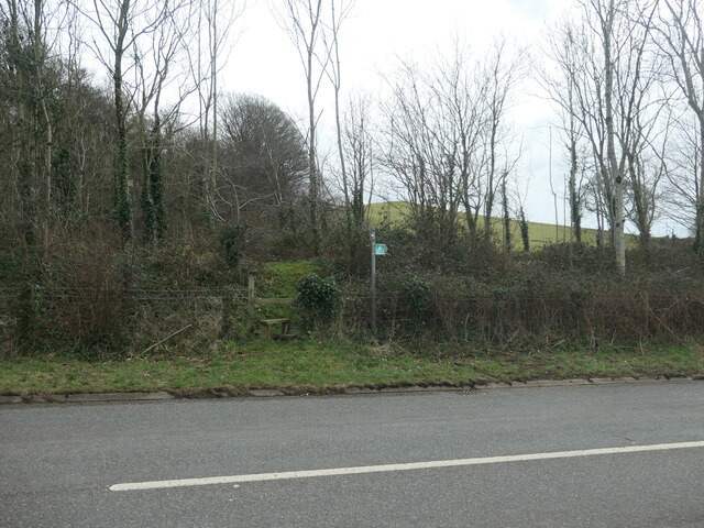
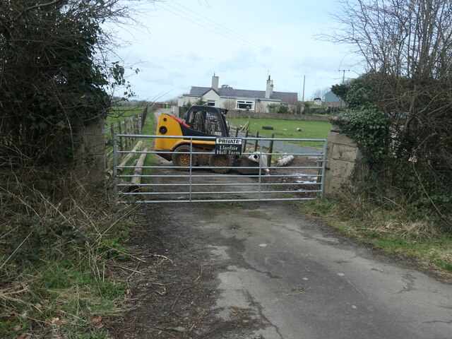
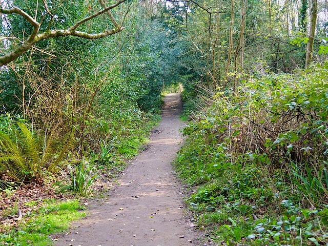
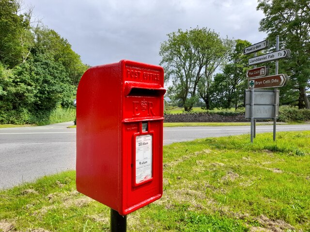
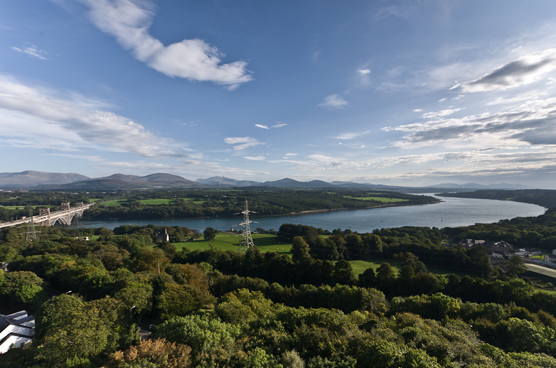
Llŵyn Bonc Images

Images are sourced within 2km of 53.187534/-4.2399934 or Grid Reference SH5067. Thanks to Geograph Open Source API. All images are credited.

Bochau cochion / Rosehips
Tir Plas Porthamel / Land at Plas Porthamel
Creyr Glas / Grey Heron
Severn Sisters Remains of a coastal slate boat.
Severn Sisters
Remains of a coastal slate boat.
Coed ym Mhlas Coch / Trees at Plas Coch
O Fôn i'r Felinheli / Felinheli from Anglesey
Parking Area on the A4080 near Llanedwen The A4080 road runs for 24½ miles along the southwestern side of Anglesey. It starts on the A5 at Llanfair Pwllgwyngyll and passes through several villages before terminating on the A5 between Bryngwran and Gwalchmai.
Parking Area on the A4080 near Llanedwen
The A4080 road runs for 24½ miles along the southwestern side of Anglesey. It starts on the A5 at Llanfair Pwllgwyngyll and passes through several villages before terminating on the A5 between Bryngwran and Gwalchmai.
Lon Las Menai, near Llanfair Hall Farm The end of a short stretch along the pavement of Ffordd Caernarfon / Caernarfon Road.
Lon Las Menai, near Llanfair Hall Farm
The end of a short stretch along the pavement of Ffordd Caernarfon / Caernarfon Road.
The southern edge of Llanfair Wood Descending to the shore of the Menai Straits.
The southern edge of Llanfair Wood
Descending to the shore of the Menai Straits.
Trees along a field boundary, near Plas Llanfair Seen from Lon Las Menai.
Trees along a field boundary, near Plas Llanfair
Seen from Lon Las Menai.
Lon Las Menai, nearing Y Felinheli A recreational route built on the trackbed of the former Caernarfon - Bangor railway.
Lon Las Menai, nearing Y Felinheli
A recreational route built on the trackbed of the former Caernarfon - Bangor railway.
Crossing Cottage, Y Felinheli Now you just have to cross Glan y Mor / Beach Road to reach this house. But the name refers to the former level crossing here on the Bangor - Caernarfon railway line.
Crossing Cottage, Y Felinheli
Now you just have to cross Glan y Mor / Beach Road to reach this house. But the name refers to the former level crossing here on the Bangor - Caernarfon railway line.
Route of the railway between Bangor and Caernarfon Now an access track for houses on Ffordd Caernarfon / Caernarfon Road. Not part of Lon Las Menai.
Route of the railway between Bangor and Caernarfon
Now an access track for houses on Ffordd Caernarfon / Caernarfon Road. Not part of Lon Las Menai.
Path to the sea shore, Y Felinheli Fenced, gated and waymarked, but not mapped as a public footpath.
Path to the sea shore, Y Felinheli
Fenced, gated and waymarked, but not mapped as a public footpath.
Public footpath heading south-east towards Bethel On the south side of Caernarfon Road, near Llanfair Hall Farm.
Public footpath heading south-east towards Bethel
On the south side of Caernarfon Road, near Llanfair Hall Farm.
An entrance to Llanfair Hall Farm On the north side of Caernarfon Road.
An entrance to Llanfair Hall Farm
On the north side of Caernarfon Road.
Coed yr Eglwys Church Wood
Coed yr Eglwys
Church Wood
Post Box at Llanedwen LL61 214. Royal Mail list this box as 'Llanedwen'.
Post Box at Llanedwen
LL61 214. Royal Mail list this box as 'Llanedwen'.
Show me another place!

Llŵyn Bonc is located at Grid Ref: SH5067 (Lat: 53.187534, Lng: -4.2399934)

Unitary Authority: Isle of Anglesey

Police Authority: North Wales

What 3 Words

///rave.grin.quitter. Near Y Felinheli, Gwynedd

Related Wikis

Llanedwen

Llanedwen is a village in the community of Llanddaniel Fab, Anglesey, Wales, which is 126.5 miles (203.6 km) from Cardiff and 208.8 miles (336 km) from...

Menai Strait

The Menai Strait (Welsh: Afon Menai, lit. 'River Menai') is a strait which separates the island of Anglesey from Gwynedd, on the mainland of Wales. It...

St Edwen's Church, Llanedwen

St Edwen's Church, Llanedwen, is a 19th-century parish church near the Menai Strait, in Anglesey, north Wales. The first church was founded here by St...

Old Church of St Nidan, Llanidan

The Old Church of St Nidan, Llanidan is a medieval church in the community of Llanidan, in Anglesey, North Wales, close to the Menai Strait. The first...

Nearby Amenities

Located within 500m of 53.187534,-4.2399934
Barrier: stile
Lat/Long: 53.1849991/-4.2454185
The data included in this document is from www.openstreetmap.org. The data is made available under ODbL.

Have you been to Llŵyn Bonc?

Leave your review of Llŵyn Bonc below (or comments, questions and feedback).