Allt Fain
Wood, Forest in Cardiganshire
Wales
Allt Fain
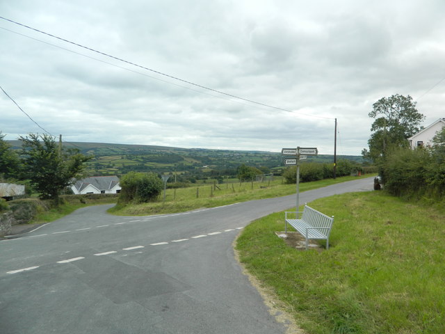
Allt Fain is a picturesque woodland located in the county of Cardiganshire, Wales. Nestled in the heart of the countryside, this enchanting forest covers an area of approximately 100 acres, providing a tranquil and serene escape from the hustle and bustle of everyday life.
The woodland is characterized by its diverse array of tree species, including oak, birch, beech, and pine. These towering trees create a dense canopy, casting a cool shade over the forest floor. A carpet of vibrant wildflowers and ferns adds a splash of color to the landscape, creating a truly breathtaking sight.
Allt Fain is home to a rich variety of wildlife, making it a haven for nature enthusiasts. Visitors may catch a glimpse of elusive creatures such as deer, foxes, badgers, and a wide range of bird species. The peaceful ambiance of the woodland provides the perfect setting for birdwatching, allowing visitors to observe and appreciate the unique behaviors and melodies of these feathered inhabitants.
The forest offers a network of well-maintained walking trails, providing visitors with the opportunity to explore its natural wonders. These paths wind through ancient woodland, crossing babbling brooks and meandering alongside sparkling streams. As visitors wander through the forest, they may stumble upon hidden glens and idyllic picnic spots, ideal for enjoying a leisurely lunch amidst the tranquility of nature.
Allt Fain is not only a place of natural beauty but also holds historical significance. Within the woodland, there are remnants of old stone walls and abandoned cottages, serving as a reminder of the area's past and the lives of those who once inhabited this serene corner of the world.
Overall, Allt Fain is a captivating woodland that offers a peaceful retreat for those seeking solace in nature. With its idyllic scenery, diverse wildlife, and a sense of history, this forest provides an enchanting experience for all who venture into its leafy embrace.
If you have any feedback on the listing, please let us know in the comments section below.
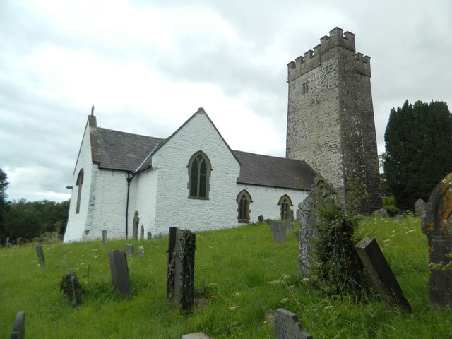
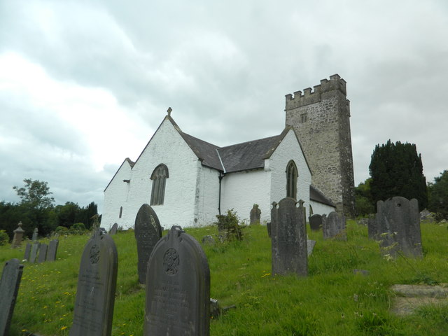
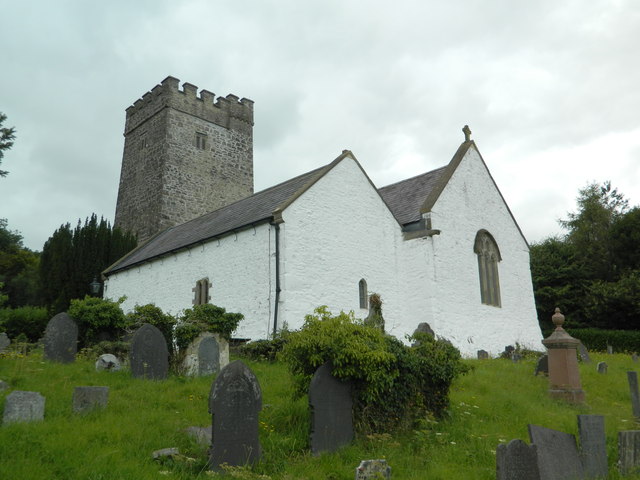
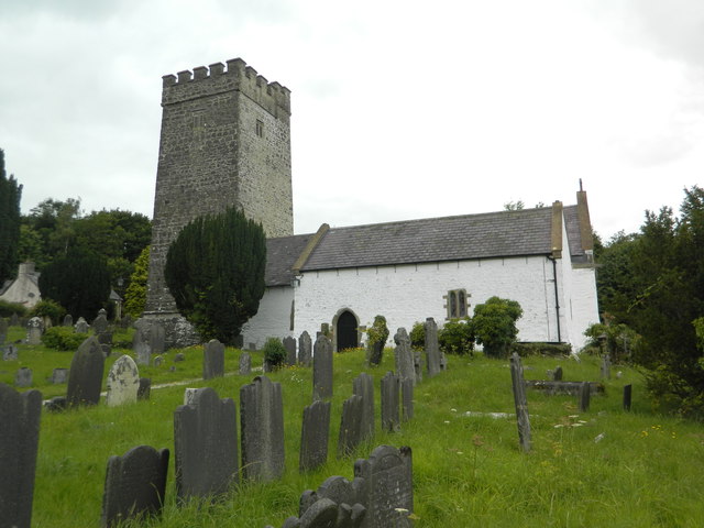
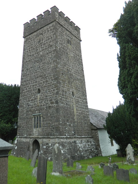
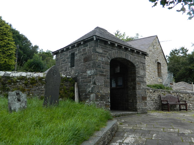
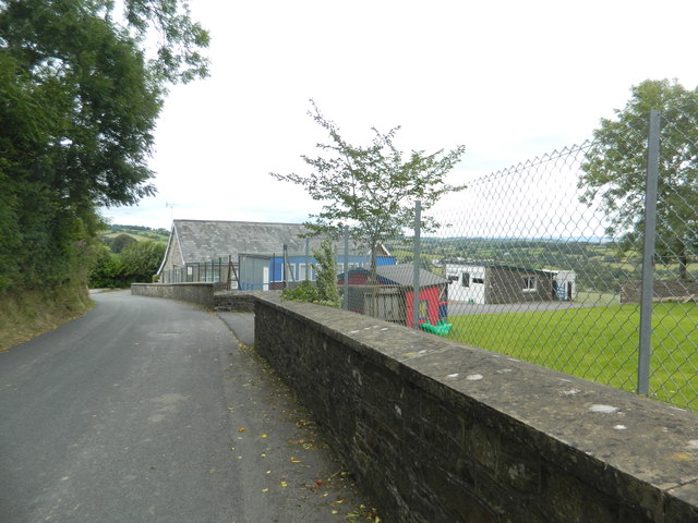
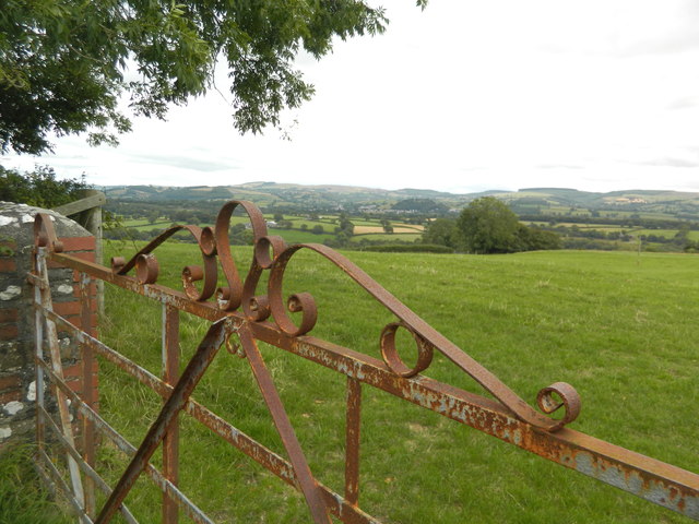
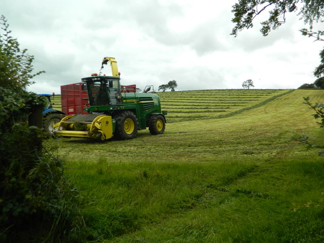
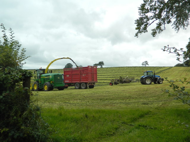
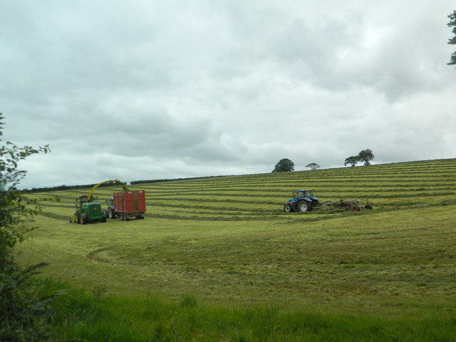
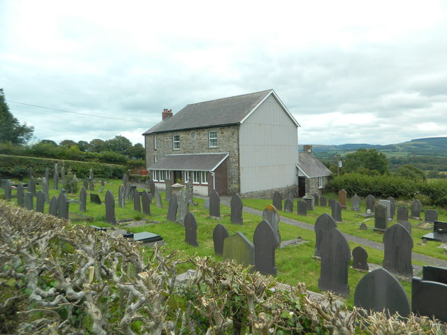
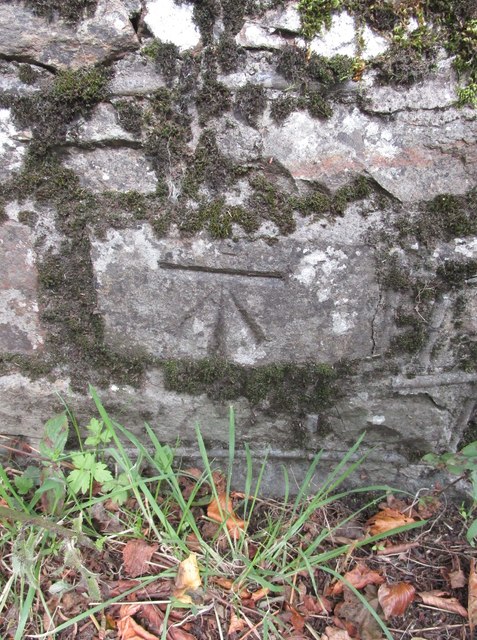
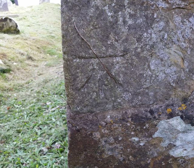
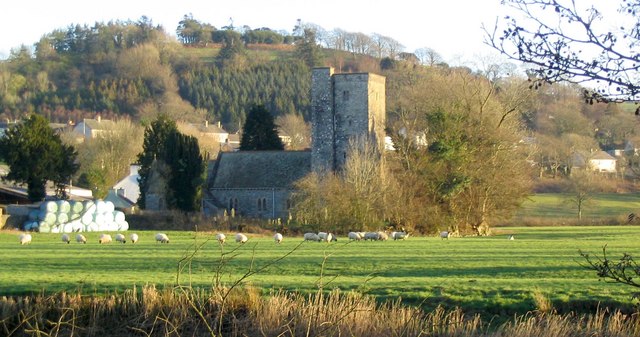
Allt Fain Images
Images are sourced within 2km of 52.073697/-4.183589 or Grid Reference SN5043. Thanks to Geograph Open Source API. All images are credited.
Allt Fain is located at Grid Ref: SN5043 (Lat: 52.073697, Lng: -4.183589)
Unitary Authority: Ceredigion
Police Authority: Dyfed Powys
What 3 Words
///camcorder.beauty.emails. Near Lampeter, Ceredigion
Nearby Locations
Related Wikis

Highmead
Highmead is a small village in the community of Llanwenog, Ceredigion, Wales, which is 59.2 miles (95.3 km) from Cardiff and 177.7 miles (286 km) from...
Rhuddlan, Ceredigion
Rhuddlan, Ceredigion is a small village in the community of Llanwenog, Ceredigion, Wales. Rhuddlan is represented in the Senedd by Elin Jones (Plaid Cymru...

Alltyblacca
Alltyblaca is a village in the Welsh county of Ceredigion, Mid-West Wales, located on the road between Llanybydder and Llanwnnen. == The chapel == There...

St Gwenog's Church, Llanwenog
St Gwenog's Church is a Church in Wales church near Llanybydder, Ceredigion, Wales. It is a medieval building dating back to the late fourteenth century...
Llanybydder
Llanybydder (Welsh pronunciation: [ˌɬanəˈbəðɛr], sometimes formerly spelt Llanybyther) is a market town and community straddling the River Teifi in Carmarthenshire...
Llanwenog
Llanwenog is both a village and a community in Ceredigion, Wales. In 2011 the population of Llanwenog was 1,364, of whom 57.0% were able to speak Welsh...
Drefach, Ceredigion
Drefach is a small village in the community of Llanwenog, Ceredigion, Wales. Dre-fach is represented in the Senedd by Elin Jones (Plaid Cymru) and is...

Llanybydder railway station
Llanybydder railway station also Llanybyther railway station served the town of Llanybydder on the Carmarthen Aberystwyth Line in the Welsh counties of...
Nearby Amenities
Located within 500m of 52.073697,-4.183589Have you been to Allt Fain?
Leave your review of Allt Fain below (or comments, questions and feedback).