Moor Wood
Wood, Forest in Cardiganshire
Wales
Moor Wood
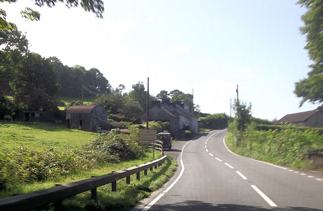
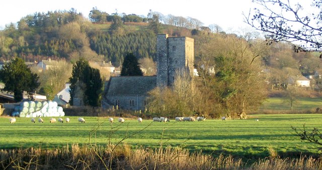
Moor Wood is a picturesque forest located in Cardiganshire, Wales. Covering an area of approximately 500 acres, it is a haven for nature enthusiasts and offers a peaceful retreat from the hustle and bustle of city life.
The wood is primarily composed of deciduous trees such as oak, beech, and birch, which contribute to its vibrant and diverse ecosystem. As visitors explore the woodland, they will encounter a rich variety of flora and fauna, including bluebells, ferns, and various species of birds, squirrels, and deer.
Moor Wood is known for its well-maintained walking trails, which wind through the forest and provide visitors with stunning views of the surrounding countryside. These trails range in difficulty, catering to both leisurely strollers and more adventurous hikers. Additionally, there are designated picnic areas and benches scattered throughout the wood, allowing visitors to take a break and enjoy the serene surroundings.
The forest also boasts a small visitor center, where visitors can find information about the local wildlife and history of the wood. Guided tours and educational programs are occasionally offered, providing visitors with a deeper understanding of the forest's ecological importance.
Moor Wood is not only a natural treasure but also a cultural one, as it has been a source of inspiration for artists and writers throughout the years. Its tranquil atmosphere and breathtaking scenery make it a popular destination for photographers, painters, and those seeking inspiration for their creative pursuits.
In conclusion, Moor Wood is a captivating forest in Cardiganshire, offering visitors a chance to immerse themselves in nature's beauty and serenity. Whether it is for a leisurely stroll, a picnic, or a deeper exploration of the wood's ecological wonders, Moor Wood is a must-visit destination for nature lovers and those seeking a peaceful escape.
If you have any feedback on the listing, please let us know in the comments section below.
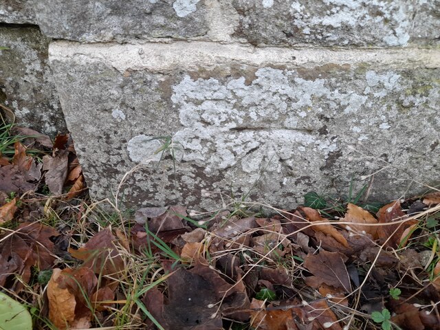
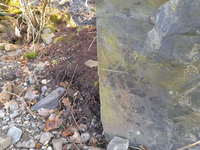
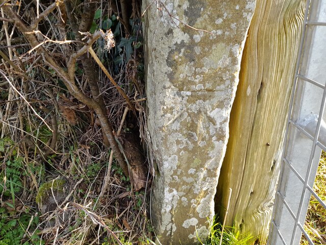
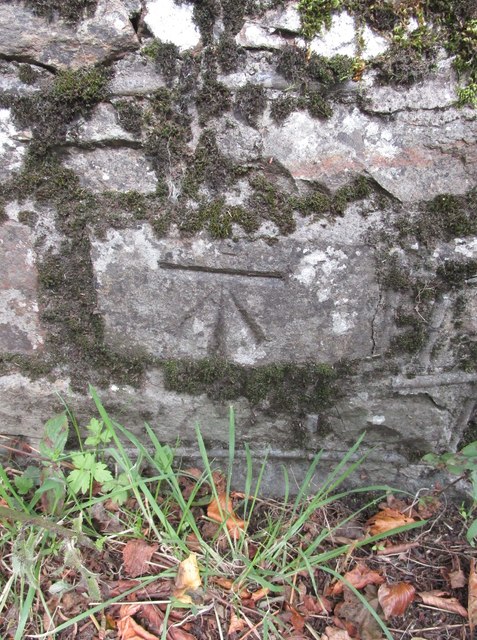
Moor Wood Images
Images are sourced within 2km of 52.06661/-4.178297 or Grid Reference SN5043. Thanks to Geograph Open Source API. All images are credited.


Moor Wood is located at Grid Ref: SN5043 (Lat: 52.06661, Lng: -4.178297)
Unitary Authority: Ceredigion
Police Authority: Dyfed Powys
What 3 Words
///pupils.stunner.explores. Near Lampeter, Ceredigion
Nearby Locations
Related Wikis

Highmead
Highmead is a small village in the community of Llanwenog, Ceredigion, Wales, which is 59.2 miles (95.3 km) from Cardiff and 177.7 miles (286 km) from...
Rhuddlan, Ceredigion
Rhuddlan, Ceredigion is a small village in the community of Llanwenog, Ceredigion, Wales. Rhuddlan is represented in the Senedd by Elin Jones (Plaid Cymru...
Llanybydder
Llanybydder (Welsh pronunciation: [ˌɬanəˈbəðɛr], sometimes formerly spelt Llanybyther) is a market town and community straddling the River Teifi in Carmarthenshire...

Alltyblacca
Alltyblaca is a village in the Welsh county of Ceredigion, Mid-West Wales, located on the road between Llanybydder and Llanwnnen. == The chapel == There...
Aber-giar
Aber-giar (Welsh: Abergiâr) is a village in the community of Llanllwni in Carmarthenshire, Wales.

Llanybydder railway station
Llanybydder railway station also Llanybyther railway station served the town of Llanybydder on the Carmarthen Aberystwyth Line in the Welsh counties of...

St Gwenog's Church, Llanwenog
St Gwenog's Church is a Church in Wales church near Llanybydder, Ceredigion, Wales. It is a medieval building dating back to the late fourteenth century...
Drefach, Ceredigion
Drefach is a small village in the community of Llanwenog, Ceredigion, Wales. Dre-fach is represented in the Senedd by Elin Jones (Plaid Cymru) and is...
Have you been to Moor Wood?
Leave your review of Moor Wood below (or comments, questions and feedback).