Coed Chwarel

Wood, Forest in Anglesey

Wales

Coed Chwarel

View of Plas Newydd Grade II* listed building, in the care of the National Trust.
View of Plas Newydd Credit: Richard Hoare

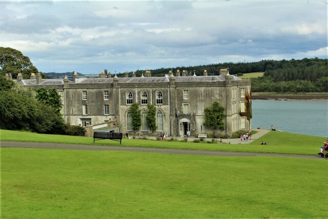
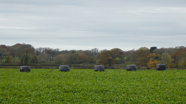
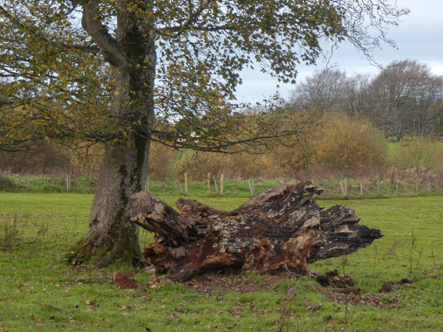
Coed Chwarel, located in Anglesey, Wales, is a picturesque woodland area known for its natural beauty and rich history. Spread across approximately 750 acres, it encompasses woodlands, forests, and a variety of wildlife habitats.

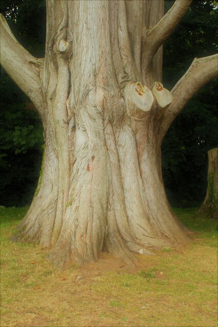
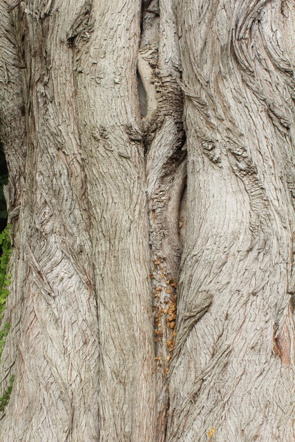
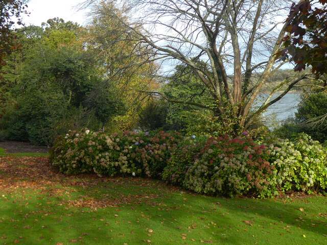
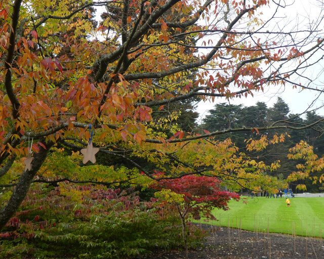
The name "Coed Chwarel" translates to "Wood, Forest" in English, reflecting the abundant tree cover that characterizes the area. The woodland is primarily composed of native tree species such as oak, birch, ash, and rowan, creating a diverse and vibrant ecosystem. The forest floor is carpeted with an array of wildflowers and ferns, adding to the enchanting atmosphere.

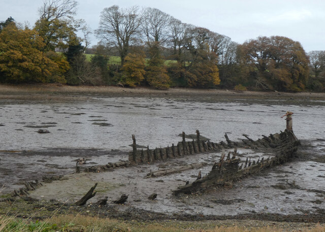
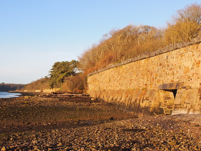
Coed Chwarel is not only a haven for nature enthusiasts but also a site of historical significance. Its name refers to the quarrying activities that took place in the area during the 19th and early 20th centuries. The remnants of the old quarry can still be seen, providing a glimpse into the past and serving as a reminder of the area's industrial heritage.

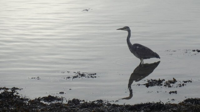
Visitors to Coed Chwarel can enjoy a range of activities, including walking, hiking, and birdwatching. The woodland is home to various bird species, including woodpeckers, jays, and owls, making it a popular spot for birdwatchers. There are also well-maintained trails that guide visitors through the forest, allowing them to explore its beauty at their own pace.

Overall, Coed Chwarel is a captivating woodland area that offers a blend of natural beauty and historical significance. It provides a tranquil escape from the hustle and bustle of everyday life and serves as a valuable habitat for a diverse range of flora and fauna.

If you have any feedback on the listing, please let us know in the comments section below.
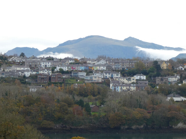
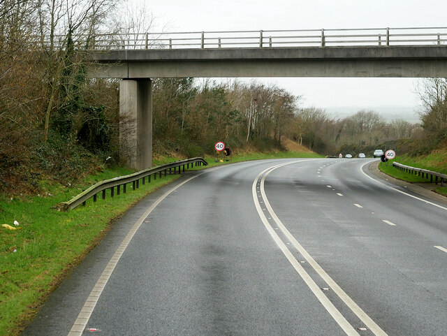
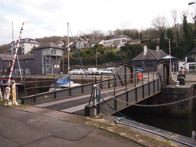
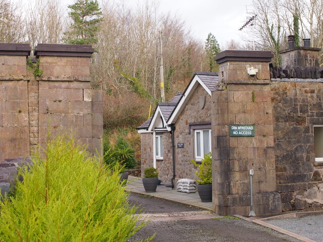
Coed Chwarel Images

Images are sourced within 2km of 53.187456/-4.2341067 or Grid Reference SH5067. Thanks to Geograph Open Source API. All images are credited.

View of Plas Newydd Grade II* listed building, in the care of the National Trust.
View of Plas Newydd
Grade II* listed building, in the care of the National Trust.
Monterey Cypress (Cupressus macrocarpa) An avenue of such trees were planted in 1916 at Plas Newydd.
For a closer example of the bark see <a href="https://www.geograph.org.uk/photo/6939209">SH5169 : Close up of the trunk of a Monterey Cypress (Cupressus macrocarpa)</a>
Monterey Cypress (Cupressus macrocarpa)
An avenue of such trees were planted in 1916 at Plas Newydd. For a closer example of the bark see SH5169 : Close up of the trunk of a Monterey Cypress (Cupressus macrocarpa)
Close up of the trunk of a Monterey Cypress (Cupressus macrocarpa) This forms part of an avenue of such trees planted in 1916 at Plas Newydd.
An example of the same trunk is at <a href="https://www.geograph.org.uk/photo/6939155">SH5169 : Monterey Cypress (Cupressus macrocarpa)</a>
Close up of the trunk of a Monterey Cypress (Cupressus macrocarpa)
This forms part of an avenue of such trees planted in 1916 at Plas Newydd. An example of the same trunk is at SH5169 : Monterey Cypress (Cupressus macrocarpa)
Trilliw-ar-ddeg / Hydrangea
Lliwiau'r hydref / Autumn colours
Tir Plas Porthamel / Land at Plas Porthamel
Creyr Glas / Grey Heron
Severn Sisters Remains of a coastal slate boat.
Severn Sisters
Remains of a coastal slate boat.
Coed ym Mhlas Coch / Trees at Plas Coch
Plas Dinorwig
Plas Dinorwig
Cychod Felinheli / Boats at Felinheli
O Fôn i'r Felinheli / Felinheli from Anglesey
Y Felinheli a'r Wyddfa / Felinheli and Snowdon
Parking Area on the A4080 near Llanedwen The A4080 road runs for 24½ miles along the southwestern side of Anglesey. It starts on the A5 at Llanfair Pwllgwyngyll and passes through several villages before terminating on the A5 between Bryngwran and Gwalchmai.
Parking Area on the A4080 near Llanedwen
The A4080 road runs for 24½ miles along the southwestern side of Anglesey. It starts on the A5 at Llanfair Pwllgwyngyll and passes through several villages before terminating on the A5 between Bryngwran and Gwalchmai.
Bridge over the Y Felinheli Bypass near Carreg Goch
Lifting Bridge, Former Slate Dock, Y Felinheli
Gatehouse, Vaynol Estate
Vaynol Estate Wall, Menai Straits
Show me another place!

Coed Chwarel is located at Grid Ref: SH5067 (Lat: 53.187456, Lng: -4.2341067)

Unitary Authority: Isle of Anglesey

Police Authority: North Wales

What 3 Words

///cherish.motored.inflamed. Near Y Felinheli, Gwynedd

Related Wikis

Llanedwen

Llanedwen is a village in the community of Llanddaniel Fab, Anglesey, Wales, which is 126.5 miles (203.6 km) from Cardiff and 208.8 miles (336 km) from...
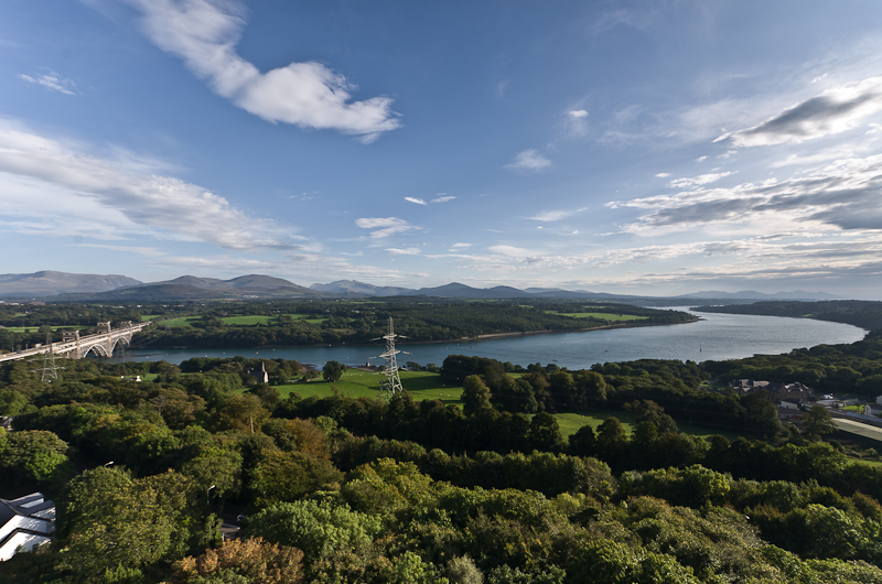
Menai Strait

The Menai Strait (Welsh: Afon Menai, lit. 'River Menai') is a strait which separates the island of Anglesey from Gwynedd, on the mainland of Wales. It...

St Edwen's Church, Llanedwen

St Edwen's Church, Llanedwen, is a 19th-century parish church near the Menai Strait, in Anglesey, north Wales. The first church was founded here by St...

Moel-y-don

Moel-y-don is a community in Llanddaniel Fab, Anglesey, Wales, which is 126 miles (202.7 km) from Cardiff and 208.1 miles (334.9 km) from London. ��2...

Nearby Amenities

Located within 500m of 53.187456,-4.2341067
Barrier: kissing_gate
Lat/Long: 53.1845569/-4.232017
The data included in this document is from www.openstreetmap.org. The data is made available under ODbL.

Have you been to Coed Chwarel?

Leave your review of Coed Chwarel below (or comments, questions and feedback).