Coed Glan-yr-afon

Wood, Forest in Caernarfonshire

Wales

Coed Glan-yr-afon

Public bridleway to Bontnewydd A field edge footpath.
Public bridleway to Bontnewydd Credit: Christine Johnstone

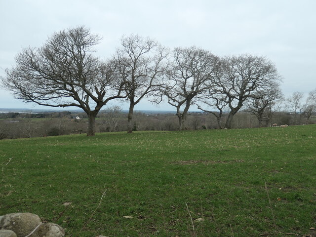
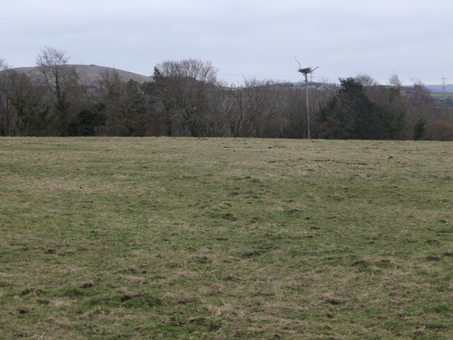
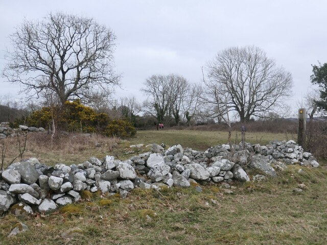
Coed Glan-yr-afon, located in Caernarfonshire, Wales, is a picturesque wood or forest that offers visitors a tranquil and scenic retreat. Spread over a large area, it is nestled within the stunning countryside of the Snowdonia National Park.

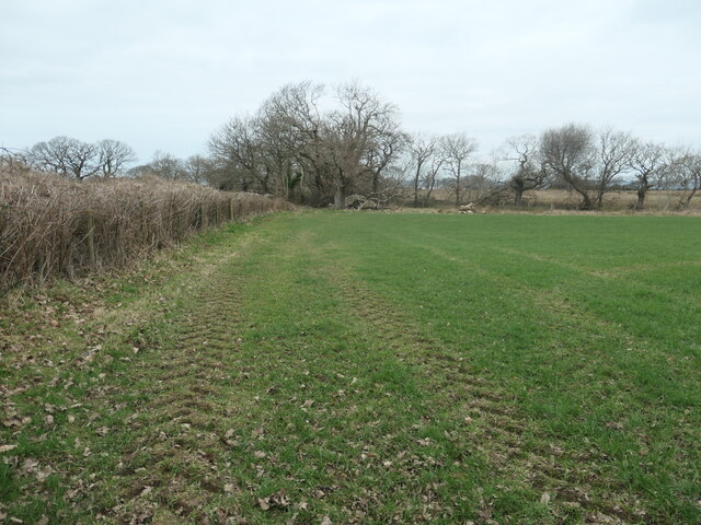
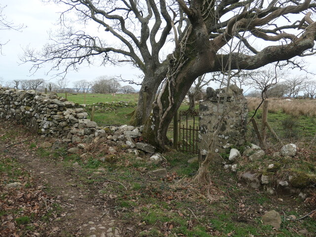
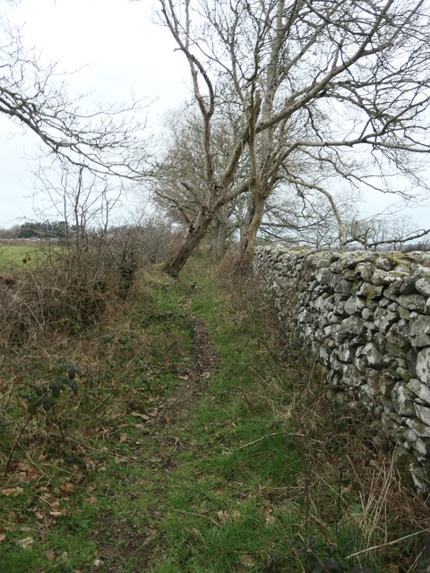
The wood is renowned for its rich biodiversity and abundance of native flora and fauna. Visitors can explore the network of well-maintained walking trails, allowing them to immerse themselves in the natural beauty of the surroundings. The paths wind through dense canopies of trees, offering shade and a sense of seclusion.

Coed Glan-yr-afon boasts a wide variety of tree species, including oak, beech, birch, and pine, which contribute to the vibrant and diverse ecosystem. The woodland floor is adorned with a carpet of wildflowers during the spring and summer months, creating a colorful and enchanting atmosphere.

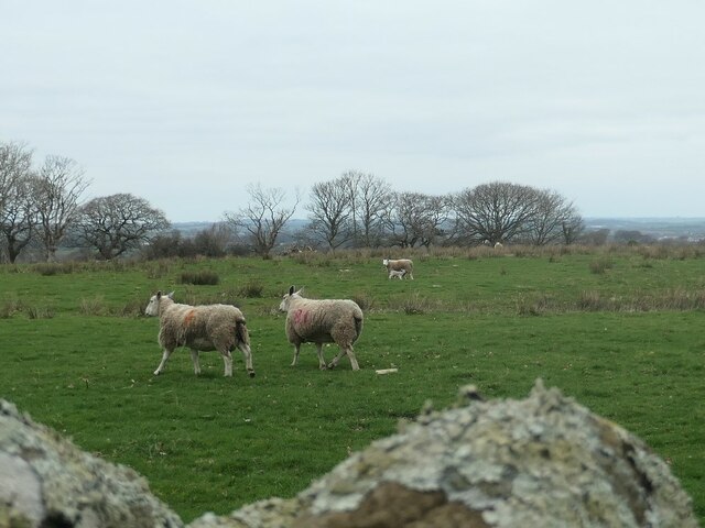
Birdwatchers will be delighted to find an array of bird species within the wood, including woodpeckers, red kites, and various songbirds. The tranquil environment also attracts other wildlife, such as squirrels, badgers, and even the occasional deer.

For those seeking a peaceful retreat, Coed Glan-yr-afon offers several picnic areas where visitors can relax and enjoy the natural surroundings. The wood also provides opportunities for nature photography, with its stunning landscapes and abundant wildlife.

Coed Glan-yr-afon is easily accessible, with well-marked entrances and ample parking facilities. Whether one is looking for a leisurely stroll, a family day out, or a chance to connect with nature, this wood in Caernarfonshire is a must-visit destination.

If you have any feedback on the listing, please let us know in the comments section below.

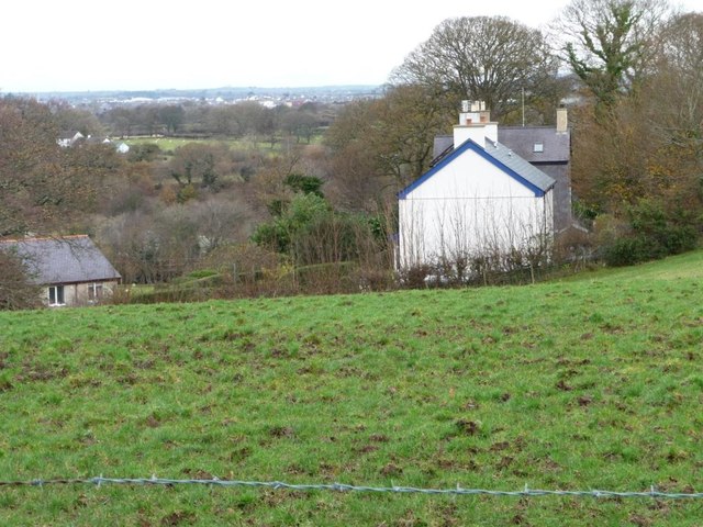
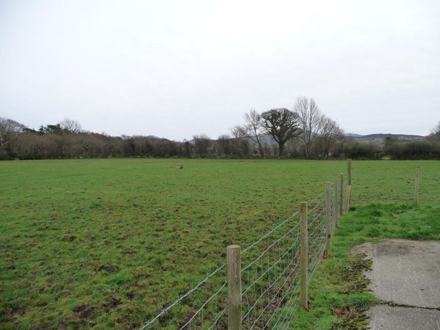
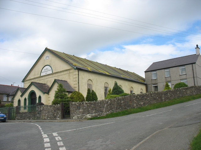
Coed Glan-yr-afon Images

Images are sourced within 2km of 53.112214/-4.2363587 or Grid Reference SH5059. Thanks to Geograph Open Source API. All images are credited.

Public bridleway to Bontnewydd A field edge footpath.
Public bridleway to Bontnewydd
A field edge footpath.
Giât fach mewn wal carreg sych This small gate off a bridleway leads to no path or building, just a field.
Giât fach mewn wal carreg sych
This small gate off a bridleway leads to no path or building, just a field.
Llwybr march, edrych i'r gorllewin / Bridleway, looking west Walled and hedged and becoming increasing overgrown.
Llwybr march, edrych i'r gorllewin / Bridleway, looking west
Walled and hedged and becoming increasing overgrown.
Defaid, rhai ag ŵyn / Sheep, some with lambs On the north side of the bridleway, near Bodwyn.
Defaid, rhai ag ŵyn / Sheep, some with lambs
On the north side of the bridleway, near Bodwyn.
Coeden wedi cwympo ar y llwybr / fallen tree on the path Been down for some time, looking at the wear from people climbing over it.
Coeden wedi cwympo ar y llwybr / fallen tree on the path
Been down for some time, looking at the wear from people climbing over it.
Giât ar y llwybr / Gate on the path A kissing gate on a public bridleway.
Giât ar y llwybr / Gate on the path
A kissing gate on a public bridleway.
Camfa a giât ger y porthdy / Stile and gate near the lodge On a public bridleway. The steps are narrow but very secure, as is the handrail at the top.
Camfa a giât ger y porthdy / Stile and gate near the lodge
On a public bridleway. The steps are narrow but very secure, as is the handrail at the top.
Rhaeadr ar yr afon Gwyrfai / Waterfall on Afon Gwyrfai The OS map surveyed in 1888 shows a wool factory upstream of here and a water-powered corn mill downstream. The farm here is called Dol Pandy - 'pandy' being Welsh for fulling mill.
Rhaeadr ar yr afon Gwyrfai / Waterfall on Afon Gwyrfai
The OS map surveyed in 1888 shows a wool factory upstream of here and a water-powered corn mill downstream. The farm here is called Dol Pandy - 'pandy' being Welsh for fulling mill.
Coed ar derfyn cae blaenorol / Trees on a former field boundary The large-scale OS maps surveyed in 1888 and 1898 show a track to Ty'n y Coed following the line of the trees. It is not shown on the map revised in 1913.
Coed ar derfyn cae blaenorol / Trees on a former field boundary
The large-scale OS maps surveyed in 1888 and 1898 show a track to Ty'n y Coed following the line of the trees. It is not shown on the map revised in 1913.
Hen gamfa fetel dros wal / Old metal stile over a wall On the public bridleway south of Bodwyn.
Hen gamfa fetel dros wal / Old metal stile over a wall
On the public bridleway south of Bodwyn.
Pont droed ar y llwybr  march / Footbridge on the bridleway The footbridge [which the OS maps] is the small slab of slate at the foot of the ladder stile.
Pont droed ar y llwybr march / Footbridge on the bridleway
The footbridge [which the OS maps] is the small slab of slate at the foot of the ladder stile.
Llwyfan nythu ger coetir / Nesting platform near woodland It appears to be currently unoccupied, but is big enough for an eagle.
Llwyfan nythu ger coetir / Nesting platform near woodland
It appears to be currently unoccupied, but is big enough for an eagle.
Llwybr march ger Hendai / Bridleway near Hendai The gorse and large tree are in a ruined enclosure. On the older large-scale OS maps this was Hendai - a small building with a square enclosure. Hendai can be translated as old house, or rural house. The enclosure and the bridleway are now part of a paddock.
Llwybr march ger Hendai / Bridleway near Hendai
The gorse and large tree are in a ruined enclosure. On the older large-scale OS maps this was Hendai - a small building with a square enclosure. Hendai can be translated as old house, or rural house. The enclosure and the bridleway are now part of a paddock.
Bronant farmyard, southern wing Buildings are arranged on three sides of an enclosed square, with a wall and the entrance on the fourth [west] side. These buildings are used for storage.
Bronant farmyard, southern wing
Buildings are arranged on three sides of an enclosed square, with a wall and the entrance on the fourth [west] side. These buildings are used for storage.
Bronant farmyard, eastern wing Buildings are arranged on three sides of an enclosed square, with a wall and the entrance on the fourth [west] side. These buildings have been converted into a holiday cottage.
Bronant farmyard, eastern wing
Buildings are arranged on three sides of an enclosed square, with a wall and the entrance on the fourth [west] side. These buildings have been converted into a holiday cottage.
Bronant farmyard, northern wing Buildings are arranged on three sides of an enclosed square, with a wall and the entrance on the fourth [west] side. These buildings have been converted into a holiday cottage.
Bronant farmyard, northern wing
Buildings are arranged on three sides of an enclosed square, with a wall and the entrance on the fourth [west] side. These buildings have been converted into a holiday cottage.
Houses on the eastern edge of Bontnewydd Seen from Bronant farm.
Houses on the eastern edge of Bontnewydd
Seen from Bronant farm.
Sheep pasture, north of Bronant Farm The trees mark the route of the Afon / River Gwyrfai.
Sheep pasture, north of Bronant Farm
The trees mark the route of the Afon / River Gwyrfai.
Show me another place!

Coed Glan-yr-afon is located at Grid Ref: SH5059 (Lat: 53.112214, Lng: -4.2363587)

Unitary Authority: Gwynedd

Police Authority: North Wales

What 3 Words

///pops.goose.compress. Near Llanwnda, Gwynedd

Related Wikis

Tryfan Junction railway station

Tryfan Junction is a junction station on the North Wales Narrow Gauge Railways for the main line and the Bryngwyn Branch. Opened in 1877, it closed in...

Rhostryfan railway station

Rhostryfan railway station was the intermediate station on the Bryngwyn Branch of the North Wales Narrow Gauge Railways (NWNGR) and its successor the Welsh...

Rhostryfan

Rhostryfan is a village 4 miles from Caernarfon, in the community of Llanwnda, in the principal area of Gwynedd, Wales. In 2020 it had an estimated population...

Waunfawr

Waunfawr (gwaun + mawr, English: large moorland/meadow) is a village and community, 6 kilometres (3.7 mi) SE of Caernarfon, near the Snowdonia National...

Caeathro

Caeathro is a village situated on the A4085 road between Caernarfon and Waunfawr in Gwynedd, northwest Wales. It is approximately 2 km from Caernarfon...

Bontnewydd, Gwynedd

Bontnewydd (Welsh for 'New Bridge') is a small village and community with a population of 1,162 located on the A487 road 1+2⁄3 miles (2.7 km) south of...

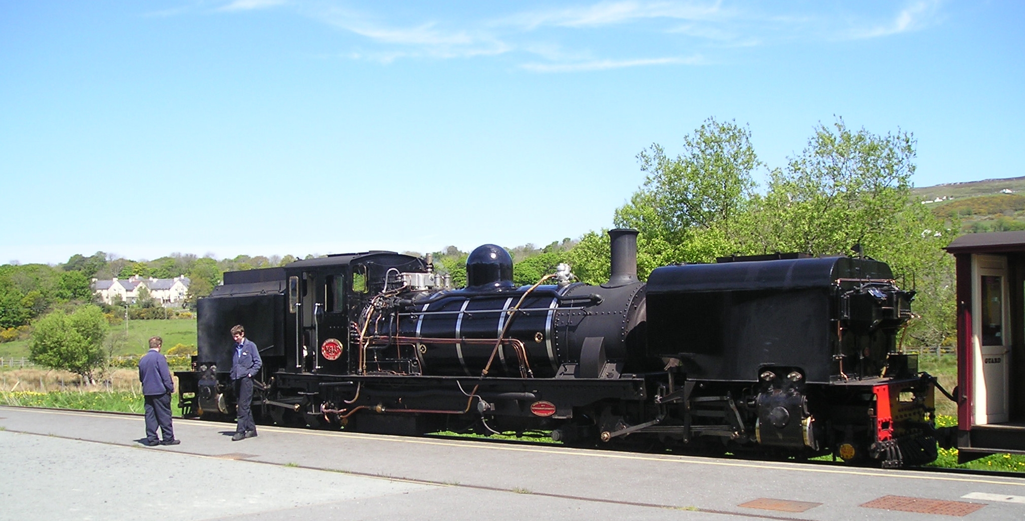
Waunfawr railway station

Waunfawr is a station on the narrow gauge Welsh Highland Railway, which was built in 1877 as the North Wales Narrow Gauge Railways Moel Tryfan Undertaking...

Rhosgadfan

Rhosgadfan is a Welsh village in the county of Gwynedd, formerly in the historic county of Caernarfonshire, and in the community of Llanwnda. It is notable...

Nearby Amenities

Located within 500m of 53.112214,-4.2363587
Tryfan Junction
Historic Railway: junction
Railway: site
Lat/Long: 53.1084551/-4.2389955
Railway: level_crossing
Lat/Long: 53.1085803/-4.2386239
Power: pole
Lat/Long: 53.1095369/-4.2310855
Power: pole
Lat/Long: 53.1082891/-4.2352966
Power: pole
Lat/Long: 53.1079308/-4.2342161
Power: pole
Lat/Long: 53.1107943/-4.2298008
Power: pole
Lat/Long: 53.110003/-4.2306246
Power: pole
Lat/Long: 53.1089847/-4.2316461
Direction: SSE
Generator Method: photovoltaic
Generator Output Electricity: yes
Generator Solar Modules: 16
Generator Source: solar
Generator Type: solar_photovoltaic_panel
Location: roof
Power: generator
Lat/Long: 53.1082601/-4.235829
The data included in this document is from www.openstreetmap.org. The data is made available under ODbL.

Have you been to Coed Glan-yr-afon?

Leave your review of Coed Glan-yr-afon below (or comments, questions and feedback).