Wet Covert
Wood, Forest in Anglesey
Wales
Wet Covert
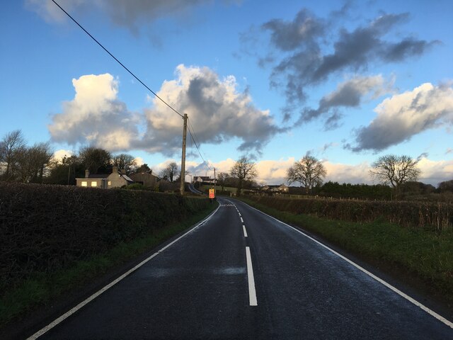
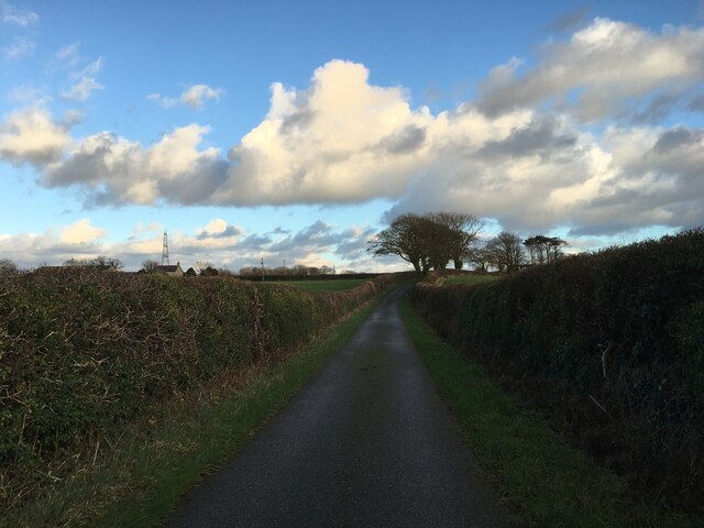
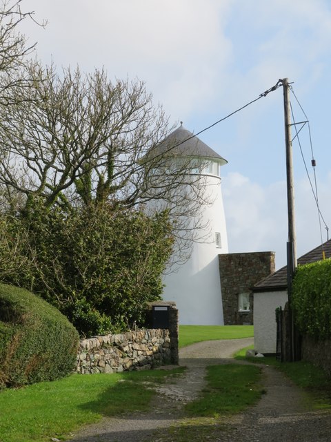
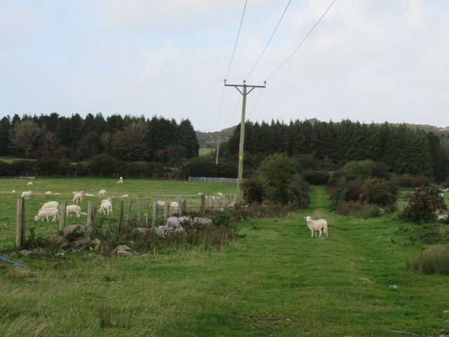
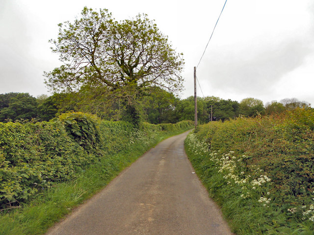
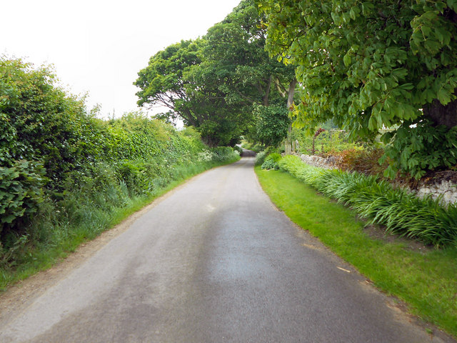
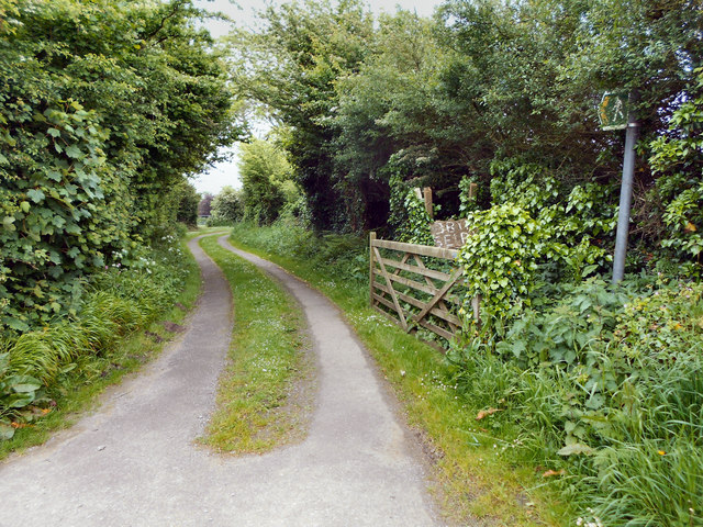
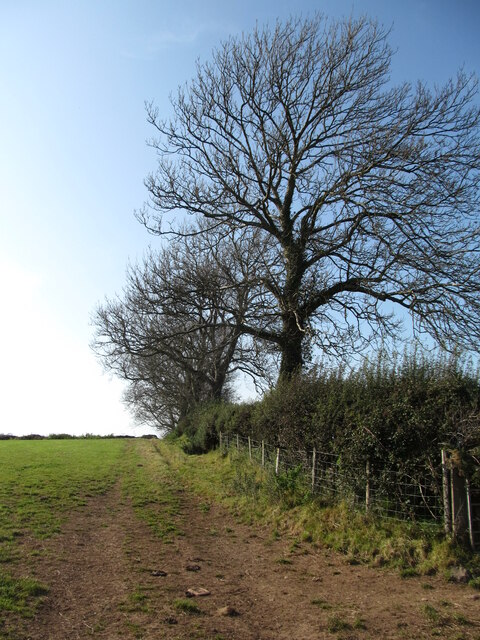
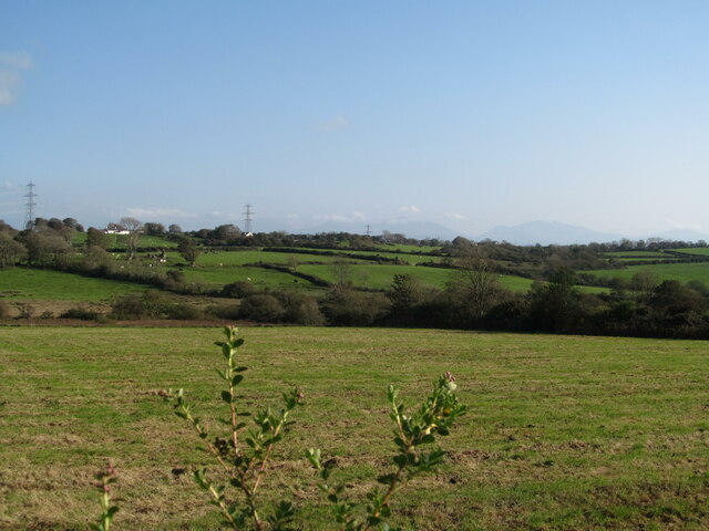
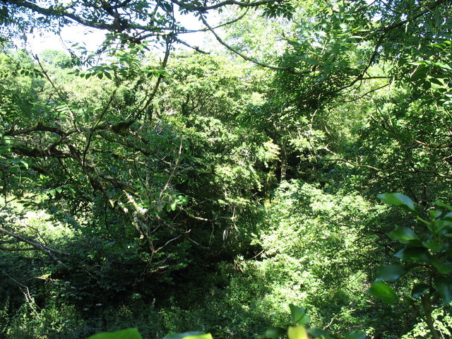
Wet Covert is a woodland area located in Anglesey, a county in northwest Wales. Spread over a vast expanse, it is known for its dense forests and wetland habitats, making it a unique and diverse ecosystem within the region. The covert is situated in a low-lying area, resulting in a high water table and waterlogged conditions throughout the year.
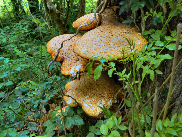
The woodlands of Wet Covert are primarily composed of deciduous trees, including oak, birch, and willow, which thrive in the wet conditions. The dense canopy created by these trees provides a habitat for a wide variety of flora and fauna. The forest floor is covered in a rich carpet of mosses, ferns, and other moisture-loving plants.
The wetland areas of Wet Covert are home to several species of birds, including ducks, herons, and kingfishers, which rely on the water for feeding and nesting. Additionally, the wetland habitats attract amphibians such as frogs and newts, as well as a diverse array of insects and invertebrates.
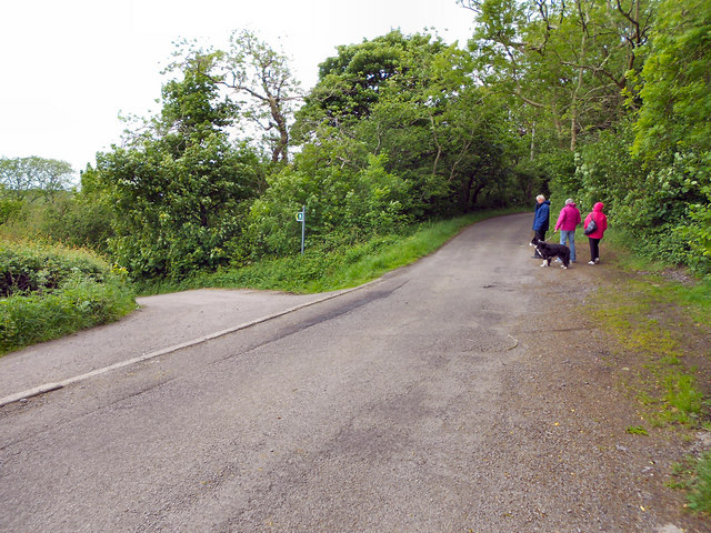
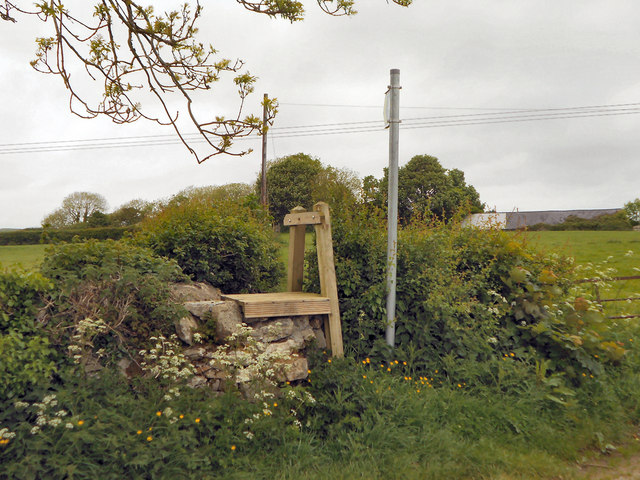
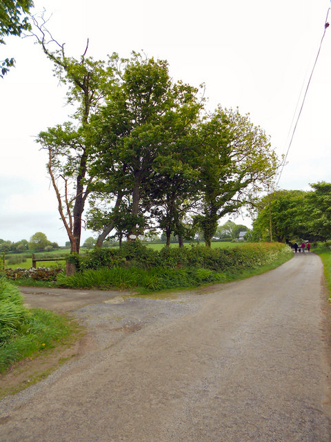
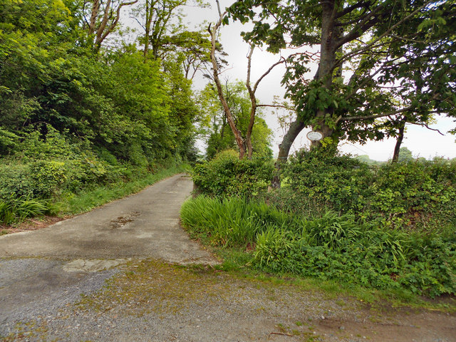
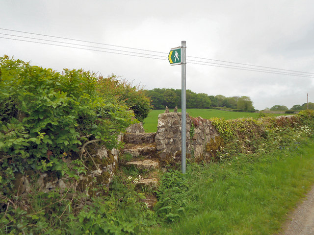
Visitors to Wet Covert can explore the woodland through a network of well-maintained trails and footpaths. The area is popular among nature enthusiasts and hikers, who appreciate the tranquility and natural beauty of the wet woodland. It provides an excellent opportunity for birdwatching, wildlife photography, and general nature appreciation.
Overall, Wet Covert in Anglesey offers a captivating experience for nature lovers, showcasing the beauty and importance of wetland ecosystems within the region.
If you have any feedback on the listing, please let us know in the comments section below.
Wet Covert Images
Images are sourced within 2km of 53.280316/-4.2695964 or Grid Reference SH4878. Thanks to Geograph Open Source API. All images are credited.
Wet Covert is located at Grid Ref: SH4878 (Lat: 53.280316, Lng: -4.2695964)
Unitary Authority: Isle of Anglesey
Police Authority: North Wales
What 3 Words
///without.baths.oatmeal. Near Llangefni, Isle of Anglesey
Nearby Locations
Related Wikis

Talwrn
Talwrn is a small village between the county town of Llangefni and Pentraeth on the Isle of Anglesey, north Wales. Talwrn is most notable for the Grade...
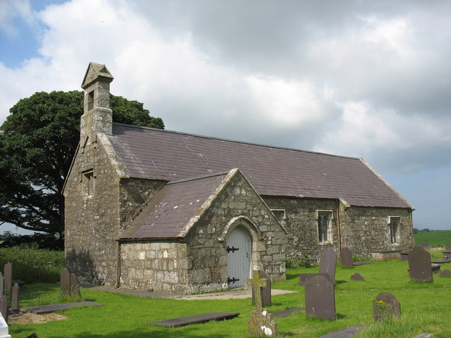
St Dyfnan's Church, Llanddyfnan
St Dyfnan's Church is a medieval church in the village of Llanddyfnan, Anglesey, Wales. The building dates from the 14th century and underwent extensive...

Cors Bodeilio National Nature Reserve
Cors Bodeilio National Nature Reserve lies in a shallow valley outside Talwrn on the Isle of Anglesey. Most of the land consists of a lime-rich mire. This...

Llanddyfnan
Llanddyfnan is a village and community in Anglesey, Wales, located 3.5 miles (5.6 km) north east of Llangefni, 6.6 miles (10.6 km) north west of Menai...
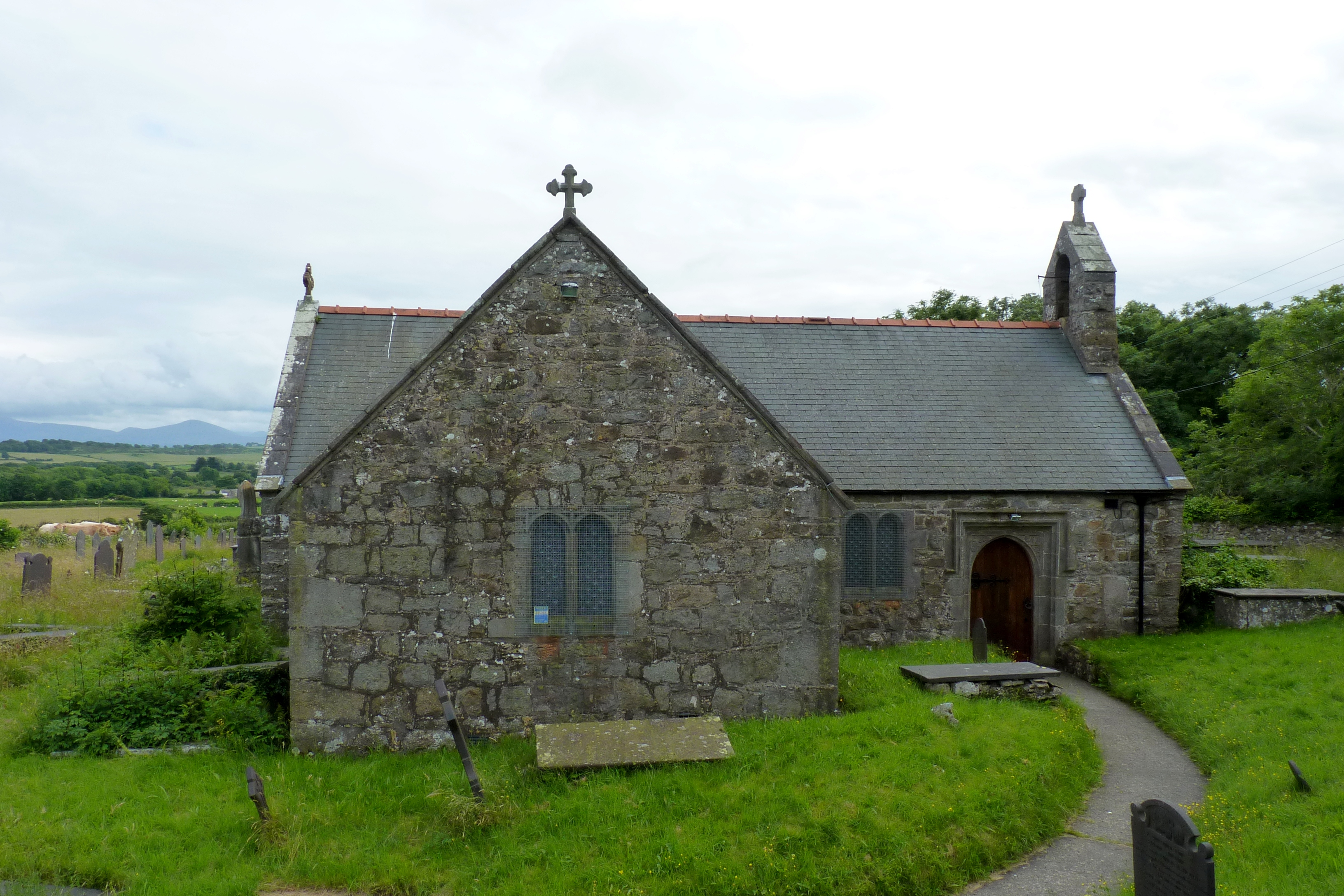
St Peter's Church, Llanbedrgoch
St Peter's Church, Llanbedrgoch, is a small medieval parish church near the village of Llanbedrgoch in Anglesey, north Wales. The oldest parts of the...

Hendre, Anglesey
Hendre is an area in the community of Llanddyfnan, Anglesey, Wales, which is 133.8 miles (215.3 km) from Cardiff and 214.9 miles (345.9 km) from London...
Rhyd-y-Saint railway station
Rhyd-y-Saint railway station was situated on the Red Wharf Bay branch line between Holland Arms railway station and Benllech, the second station after...
Rhosmeirch
Rhosmeirch () is a small village in Anglesey, Wales. It is in the community of Llangefni. It is located 1+1⁄2 miles (2.4 km) north of the county town,...
Nearby Amenities
Located within 500m of 53.280316,-4.2695964Have you been to Wet Covert?
Leave your review of Wet Covert below (or comments, questions and feedback).