Llanddyfnan

Settlement in Anglesey

Wales

Llanddyfnan

B5110 near Glan Gors
B5110 near Glan Gors Credit: Steven Brown

The requested URL returned error: 429 Too Many Requests

If you have any feedback on the listing, please let us know in the comments section below.
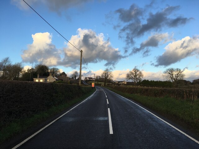
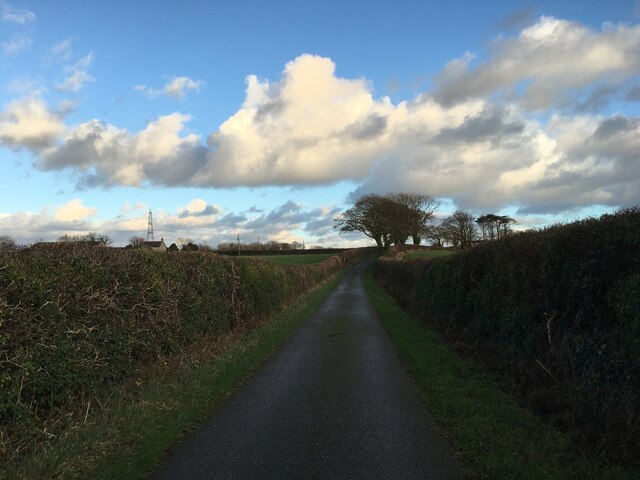
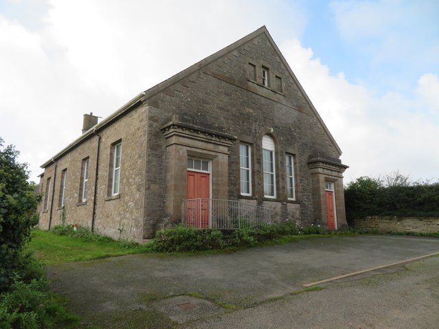
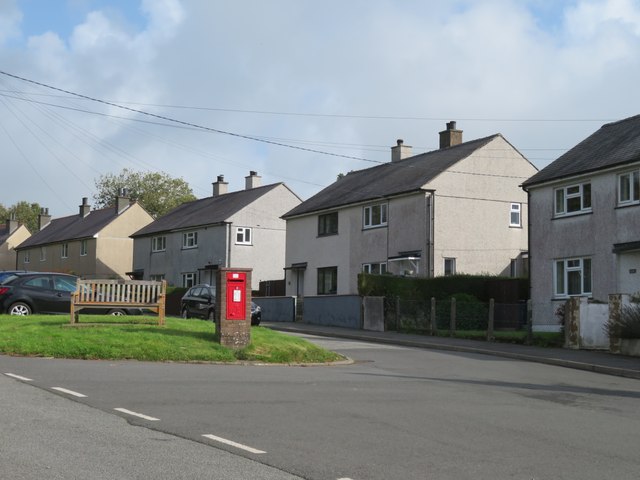
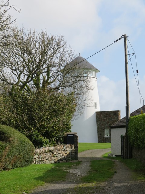
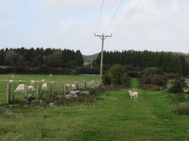
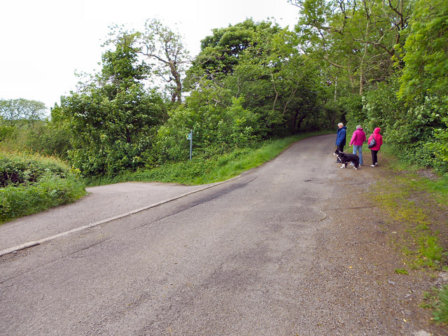
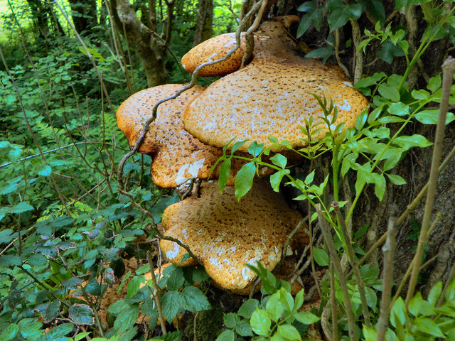
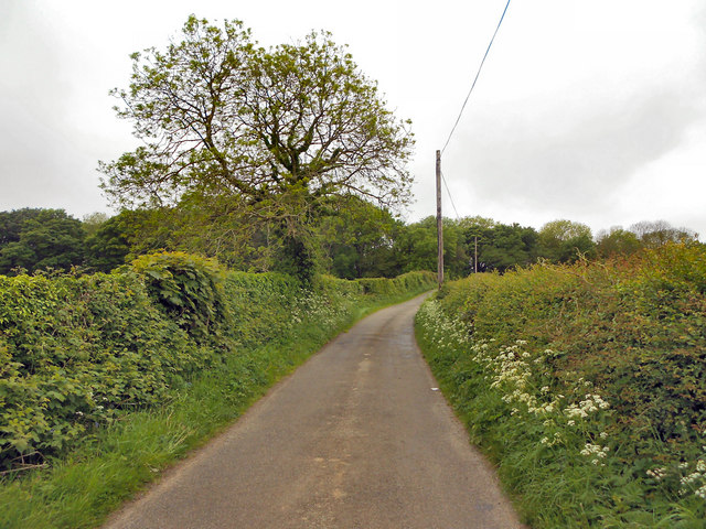
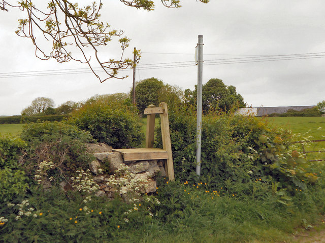
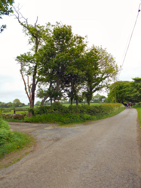
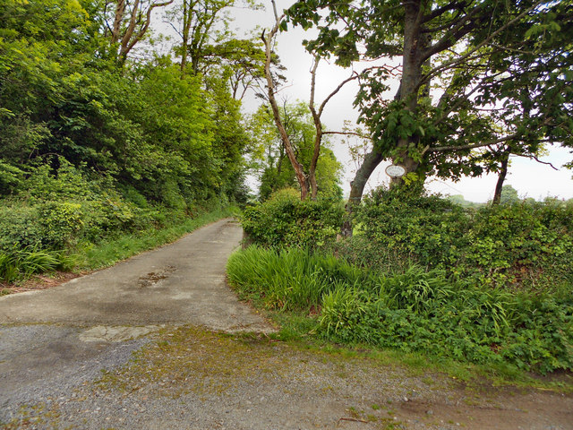
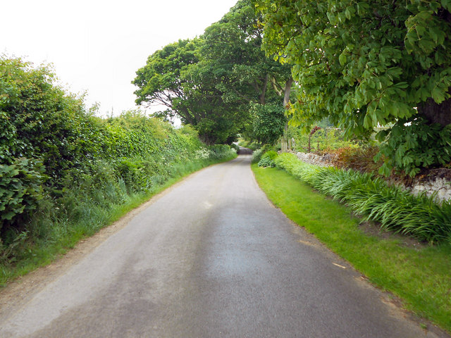
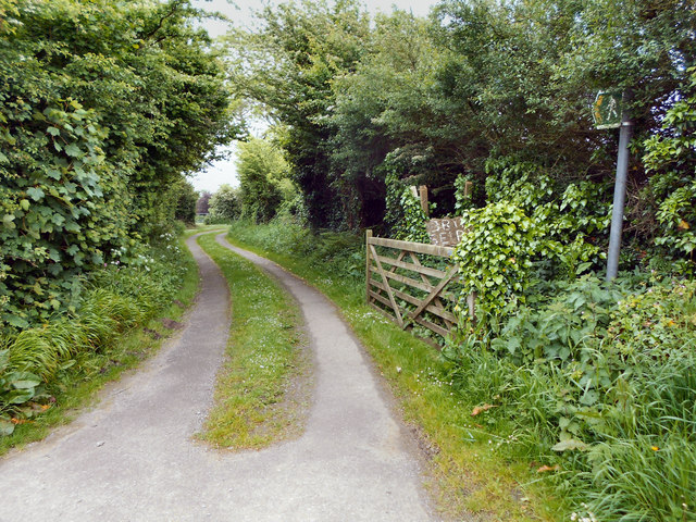
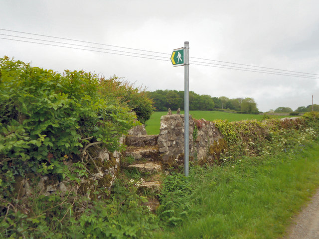
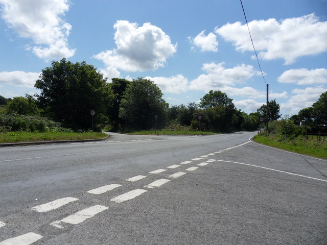
Llanddyfnan Images

Images are sourced within 2km of 53.277129/-4.2811124 or Grid Reference SH4878. Thanks to Geograph Open Source API. All images are credited.

B5110 near Glan Gors
Minor road near Rhosmeirch
Old chapel at Talwrn Shown on late 19thC maps as 'Methodist Chapel', the building now appears to be unused, but still in relatively good condition.
Old chapel at Talwrn
Shown on late 19thC maps as 'Methodist Chapel', the building now appears to be unused, but still in relatively good condition.
Postbox and houses in Talwrn A village spread out around a triangle of roads with no obvious centre.
Postbox and houses in Talwrn
A village spread out around a triangle of roads with no obvious centre.
Converted windmill There must be dozens of old windmills across Anglesey, where wind is a feature, but fast flowing streams for water power are rare. This old mill was photographed by Nigel Williams in 2006 and Eric Jones in 2007, but since then the mill has been transformed into a desirable and unusual residence.
Converted windmill
There must be dozens of old windmills across Anglesey, where wind is a feature, but fast flowing streams for water power are rare. This old mill was photographed by Nigel Williams in 2006 and Eric Jones in 2007, but since then the mill has been transformed into a desirable and unusual residence.
Track towards a plantation Rural Anglesey with sheep in fields either side of the track.
Track towards a plantation
Rural Anglesey with sheep in fields either side of the track.
Llanddyfnan Unnamed rural roads.
Llanddyfnan
Unnamed rural roads.
Tree Fungus (Dryad's Saddle) This fungus was on the trunk, about one metre from the base of the tree (which I think was an Ash). It is Polyporus squamosus (Dryad's Saddle) <span class="nowrap"><a title="http://www.aie.org.uk/fungi_base/dryads/aie_fungi_polyporus.html" rel="nofollow ugc noopener" href="http://www.aie.org.uk/fungi_base/dryads/aie_fungi_polyporus.html">Link</a><img style="margin-left:2px;" alt="External link" title="External link - shift click to open in new window" src="https://s1.geograph.org.uk/img/external.png" width="10" height="10"/></span> , 

Thanks to M J Richardson for confirmation, see more pictures of Polyporus squamosus at <a title="https://www.geograph.org.uk/search.php?i=22226561" href="https://www.geograph.org.uk/search.php?i=22226561">Link</a> .
Tree Fungus (Dryad's Saddle)
This fungus was on the trunk, about one metre from the base of the tree (which I think was an Ash). It is Polyporus squamosus (Dryad's Saddle) LinkExternal link , Thanks to M J Richardson for confirmation, see more pictures of Polyporus squamosus at Link .
Minor Road, Llanddyfnan
Stile Near Pen-y-fan Bellaf
Entrance to Pen-y-fan Bellaf
Pen-y-fan Bellaf
Pen-y-fan Bellaf
The Road To Llanbedrgoch
Footpath to Bryn-seiri
Stone-stepped Stile Stone stile on the minor road near Llanddyfnan
Stone-stepped Stile
Stone stile on the minor road near Llanddyfnan
The B5110 Ty'n-y-rhos Crossroads along the B5110 leading to Llangefni.
The B5110
Ty'n-y-rhos Crossroads along the B5110 leading to Llangefni.
Farmhouse, Rhosmeirch
Show me another place!

Llanddyfnan is located at Grid Ref: SH4878 (Lat: 53.277129, Lng: -4.2811124)

Unitary Authority: Isle of Anglesey

Police Authority: North Wales

What 3 Words

///boast.leaflet.rebirth. Near Llangefni, Isle of Anglesey

Related Wikis

Talwrn

Talwrn is a small village between the county town of Llangefni and Pentraeth on the Isle of Anglesey, north Wales. Talwrn is most notable for the Grade...

Rhosmeirch

Rhosmeirch () is a small village in Anglesey, Wales. It is in the community of Llangefni. It is located 1+1⁄2 miles (2.4 km) north of the county town,...

Cors Bodeilio National Nature Reserve

Cors Bodeilio National Nature Reserve lies in a shallow valley outside Talwrn on the Isle of Anglesey. Most of the land consists of a lime-rich mire. This...

Llangefni Town F.C.

Llangefni Town Football Club (Welsh: Clwb Pêl-droed Tref Llangefni) are a Welsh football team based in Llangefni on Anglesey. They play in the Ardal NW...

Nearby Amenities

Located within 500m of 53.277129,-4.2811124
Power: tower
Lat/Long: 53.2757233/-4.2824801
Power: tower
Lat/Long: 53.2785332/-4.2840036
Direction: 145
Generator Method: photovoltaic
Generator Output Electricity: yes
Generator Solar Modules: 16
Generator Source: solar
Generator Type: solar_photovoltaic_panel
Location: roof
Power: generator
Lat/Long: 53.2739617/-4.2767407
The data included in this document is from www.openstreetmap.org. The data is made available under ODbL.

Have you been to Llanddyfnan?

Leave your review of Llanddyfnan below (or comments, questions and feedback).