Llanddwywe-is-y-graig
Settlement in Merionethshire
Wales
Llanddwywe-is-y-graig
The requested URL returned error: 429 Too Many Requests
If you have any feedback on the listing, please let us know in the comments section below.
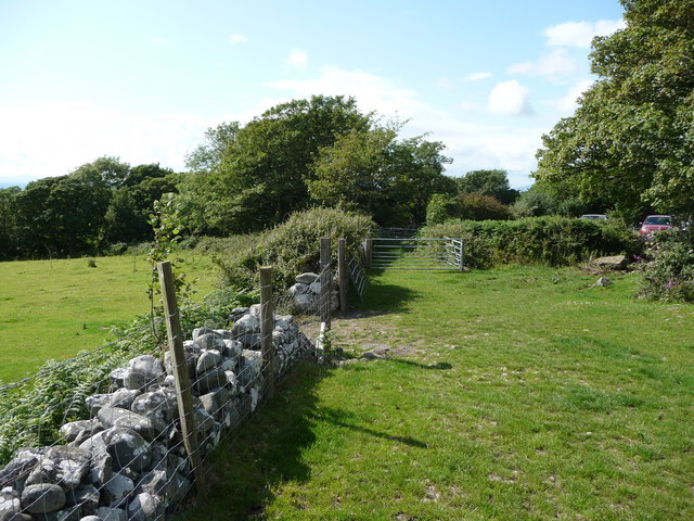
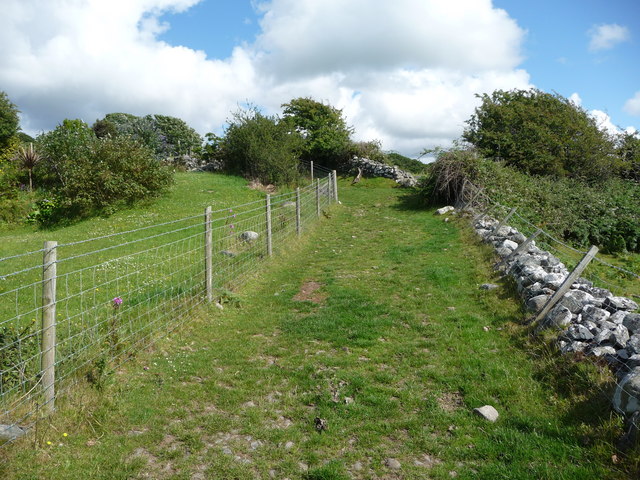
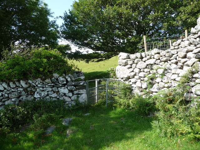
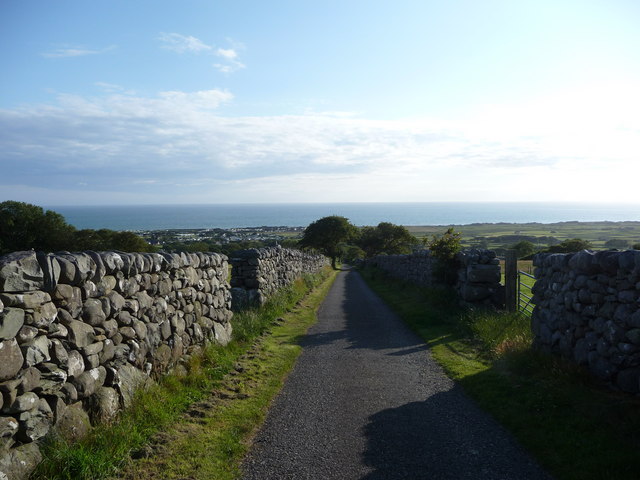
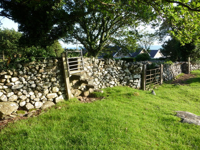
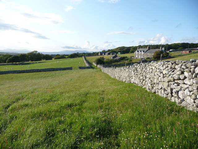
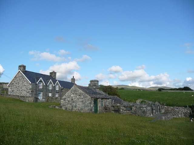
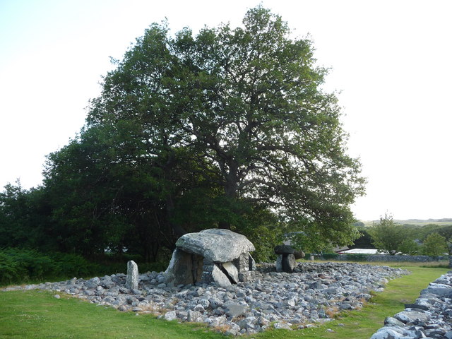
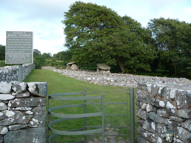
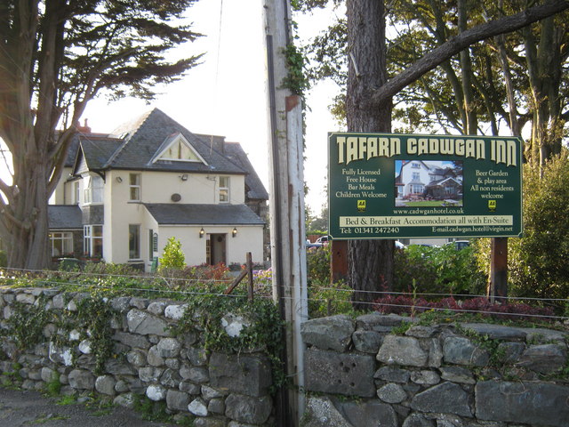
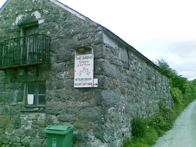
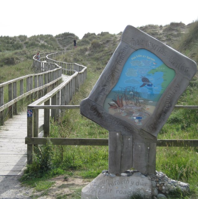
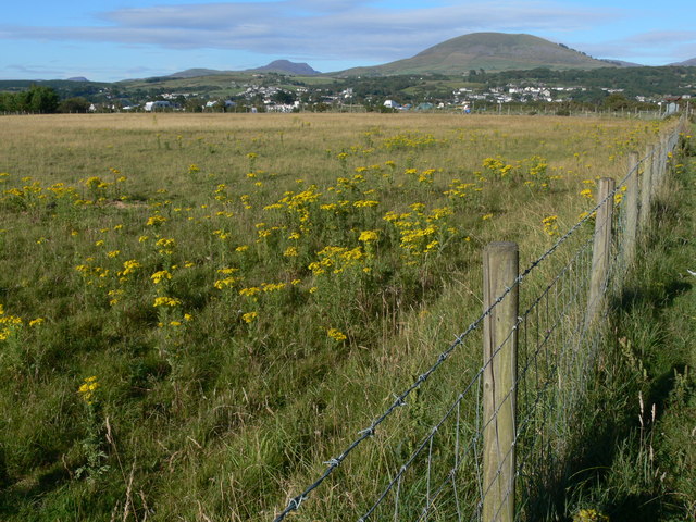
Llanddwywe-is-y-graig Images
Images are sourced within 2km of 52.776857/-4.1065853 or Grid Reference SH5822. Thanks to Geograph Open Source API. All images are credited.

Llanddwywe-is-y-graig is located at Grid Ref: SH5822 (Lat: 52.776857, Lng: -4.1065853)
Unitary Authority: Gwynedd
Police Authority: North Wales
What 3 Words
///tolls.corrosive.trooper. Near Tal-y-bont, Gwynedd
Nearby Locations
Related Wikis

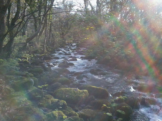
Afon Ysgethin
The Afon Ysgethin is a short river in Gwynedd, Wales. Flowing entirely within Snowdonia National Park it rises beneath the peaks of Y Llethr and Diffwys...

St Dwywe's Church
St Dwywe’s Church is a Grade II* listed church in Llanddwywe, Gwynedd, North Wales.It has a curvilinear churchyard and farm buildings on its west. Its...

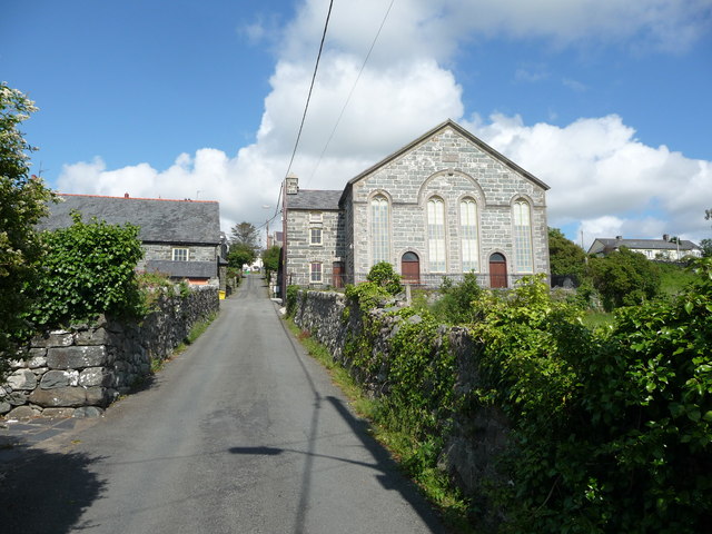
Talybont railway station
Talybont railway station serves the villages of Tal-y-bont and Llanddwywe in Gwynedd, Wales. The station is an unstaffed halt on the Cambrian Coast Railway...
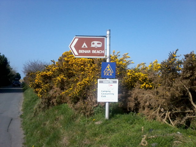
Tal-y-bont, Dyffryn Ardudwy
Tal-y-bont (otherwise Talybont) is a village north of the town of Barmouth in north Wales. Tal-y-bont has a railway station on the Cambrian Line and has...
Nearby Amenities
Located within 500m of 52.776857,-4.1065853Have you been to Llanddwywe-is-y-graig?
Leave your review of Llanddwywe-is-y-graig below (or comments, questions and feedback).