Dyffryn Ardudwy
Heritage Site in Merionethshire
Wales
Dyffryn Ardudwy
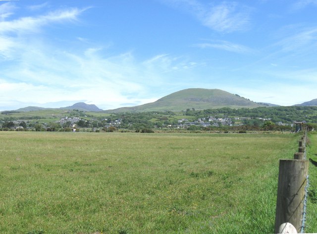
Dyffryn Ardudwy, located in Merionethshire, Wales, is a site of significant historical and cultural importance. Nestled amidst the stunning Snowdonia National Park, this heritage site captivates visitors with its rich heritage and picturesque surroundings.
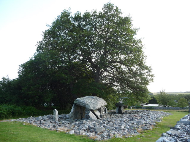
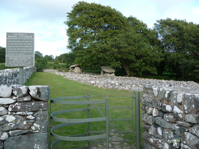
The main attraction of Dyffryn Ardudwy is the ancient burial chamber known as Dyffryn Ardudwy Burial Chamber, or locally referred to as "Cors-y-Gedol." Dating back to the Neolithic period, the chamber is believed to have been built around 3500 BC. It consists of four upright stones supporting a capstone, forming a small chamber where the remains of early inhabitants were laid to rest. The chamber's construction and design provide valuable insights into the lives and beliefs of these early communities.
Adjacent to the burial chamber, there is an Iron Age hillfort known as "Moel Ty Uchaf." The fort's earthworks and defensive ditches indicate its strategic significance during ancient times. Exploring this hillfort offers visitors a glimpse into the lives of the Iron Age inhabitants who inhabited the area around 800 BC.
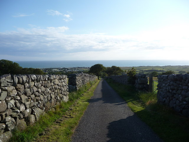
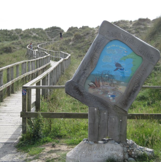
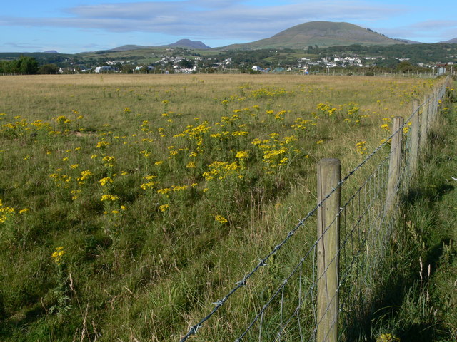
Apart from these historical sites, Dyffryn Ardudwy boasts breathtaking natural landscapes. From rolling hills to expansive sandy beaches, the area presents a diverse range of scenic beauty. The nearby Cardigan Bay, a designated Special Area of Conservation, is home to a variety of marine life, including dolphins and seals, making it a haven for wildlife enthusiasts.
Dyffryn Ardudwy is a popular destination for history lovers, hikers, and nature enthusiasts alike. Its combination of ancient heritage sites and stunning natural surroundings make it a must-visit location for anyone seeking a glimpse into Wales' rich cultural and natural heritage.
If you have any feedback on the listing, please let us know in the comments section below.
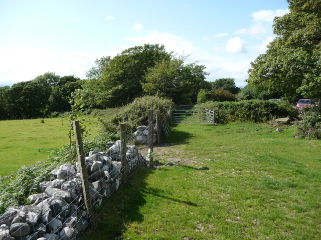
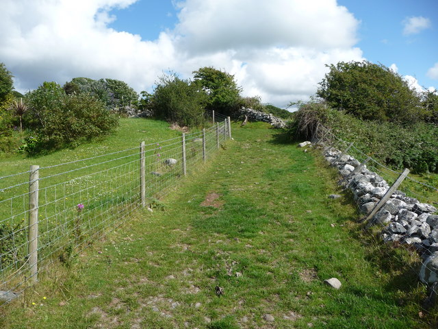
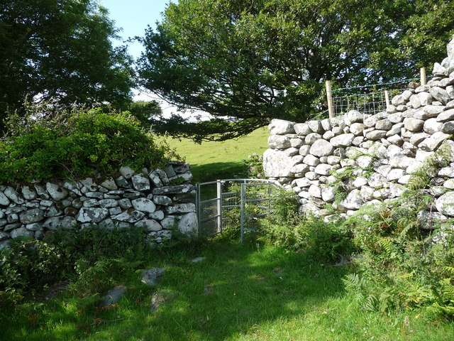
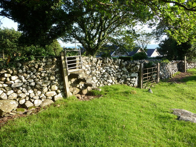
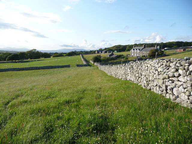
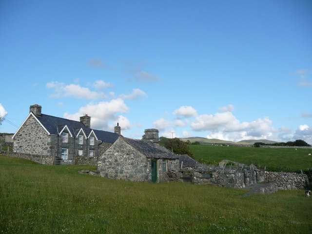
Dyffryn Ardudwy Images
Images are sourced within 2km of 52.7846/-4.0937 or Grid Reference SH5822. Thanks to Geograph Open Source API. All images are credited.

Dyffryn Ardudwy is located at Grid Ref: SH5822 (Lat: 52.7846, Lng: -4.0937)
Unitary Authority: Gwynedd
Police Authority: North Wales
What 3 Words
///grinders.resists.bright. Near Tal-y-bont, Gwynedd
Nearby Locations
Related Wikis

Dyffryn Ardudwy
Dyffryn Ardudwy () is a village, community and electoral ward in the Ardudwy area of Gwynedd, Wales. It comprises several small, almost conjoined, villages...

St Dwywe's Church
St Dwywe’s Church is a Grade II* listed church in Llanddwywe, Gwynedd, North Wales.It has a curvilinear churchyard and farm buildings on its west. Its...
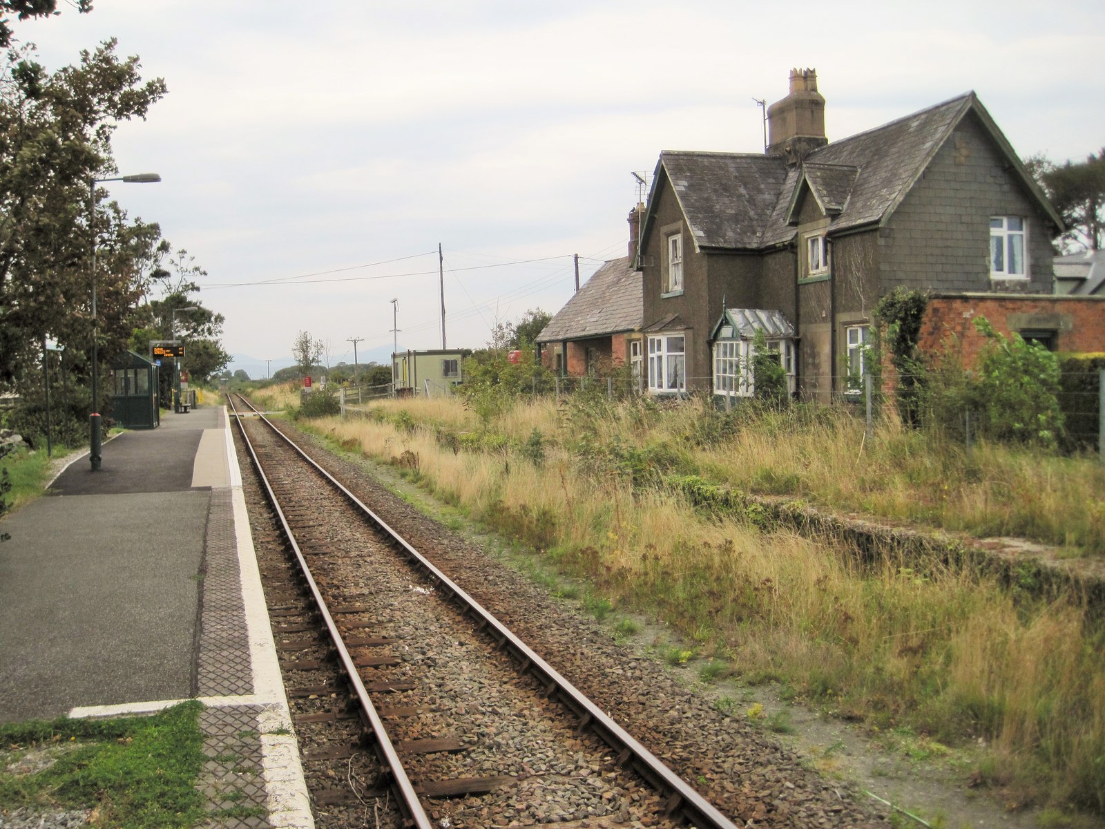
Dyffryn Ardudwy railway station
Dyffryn Ardudwy railway station serves the villages of Dyffryn Ardudwy, Coed Ystumgwern and Llanenddwyn in Gwynedd, Wales. Dyffryn Ardudwy gives its name...

Talybont railway station
Talybont railway station serves the villages of Tal-y-bont and Llanddwywe in Gwynedd, Wales. The station is an unstaffed halt on the Cambrian Coast Railway...
Tal-y-bont, Dyffryn Ardudwy
Tal-y-bont (otherwise Talybont) is a village north of the town of Barmouth in north Wales. Tal-y-bont has a railway station on the Cambrian Line and has...

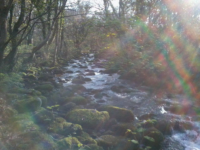
Afon Ysgethin
The Afon Ysgethin is a short river in Gwynedd, Wales. Flowing entirely within Snowdonia National Park it rises beneath the peaks of Y Llethr and Diffwys...

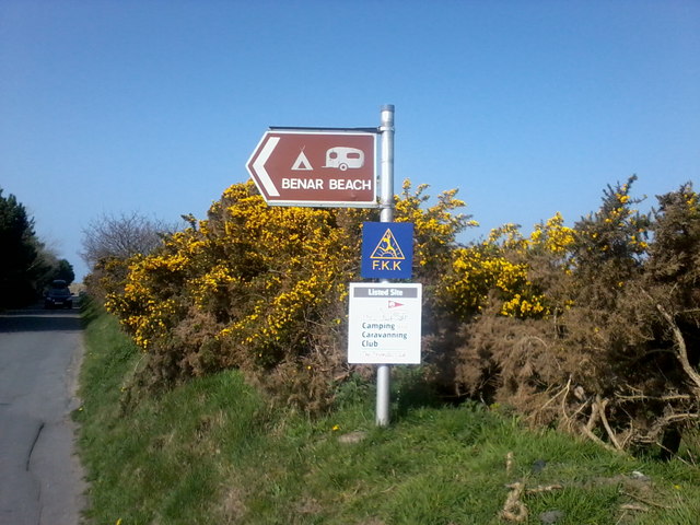
Morfa Dyffryn
Morfa Dyffryn beach is on the west coast of Wales, between Barmouth and Harlech in Gwynedd. This sandy beach is several miles long and is chiefly known...
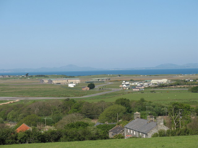
Llanbedr Airport
Llanbedr Airport (ICAO: EGFD) (Welsh: Maes Awyr Llanbedr), formerly RAE Llanbedr (ICAO: EGOD), is an operational general aviation airport located in the...
Nearby Amenities
Located within 500m of 52.7846,-4.0937Have you been to Dyffryn Ardudwy?
Leave your review of Dyffryn Ardudwy below (or comments, questions and feedback).