Llanddwywe
Settlement in Merionethshire
Wales
Llanddwywe
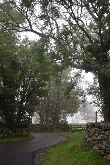
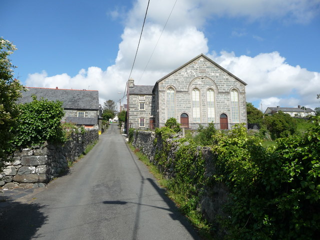
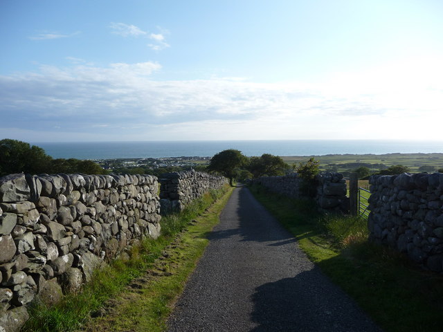
Llanddwywe is a small village located on the western coast of Wales, in the historic county of Merionethshire. Situated in the county of Gwynedd since 1974, Llanddwywe is nestled between the towns of Harlech and Barmouth. The village is known for its picturesque coastal setting and stunning views of the Irish Sea.
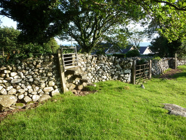
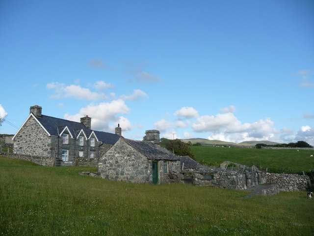
Llanddwywe is home to a close-knit community, with a population of around 500 residents. The village is characterized by its traditional Welsh charm, with several historic buildings and quaint cottages dotted throughout. The local St. Dwynwen's Church, dating back to the 13th century, stands as a testament to the area's rich heritage.
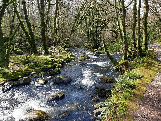
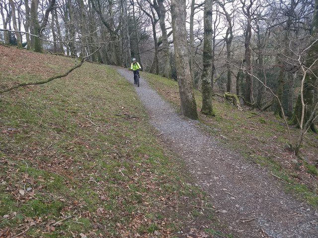
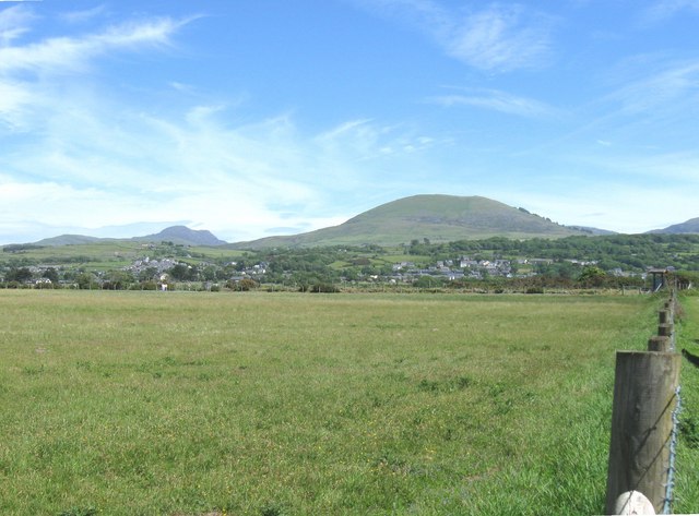
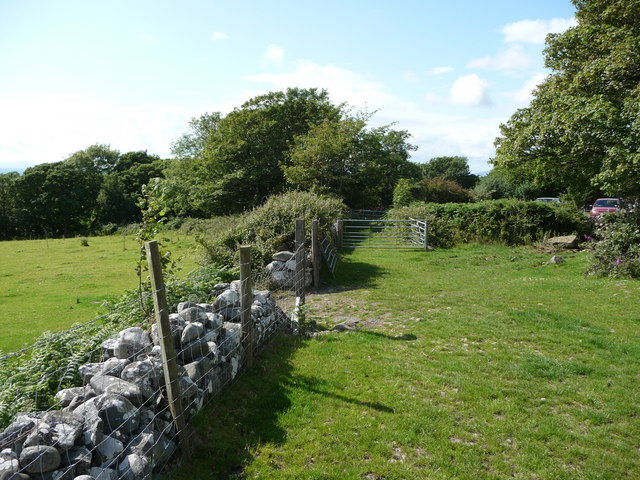
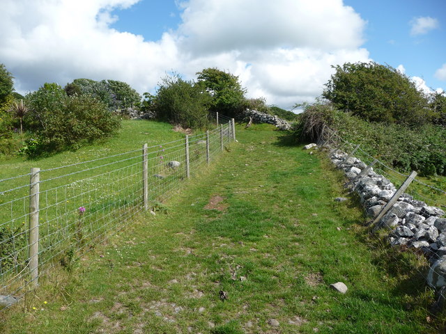
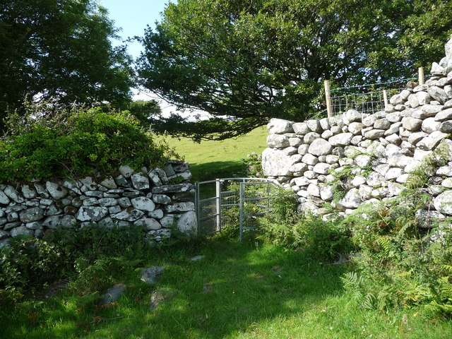
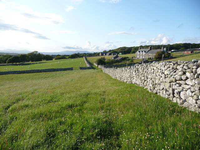
The surrounding landscape of Llanddwywe offers an array of natural beauty. The village is bordered by miles of sandy beaches, perfect for leisurely walks and taking in the fresh sea air. To the north, the village is backed by the imposing peaks of the Snowdonia National Park, offering opportunities for hiking, climbing, and exploring the rugged wilderness.
Llanddwywe is also a popular destination for water sports enthusiasts, with the nearby Rhinog Fawr mountain range providing an ideal backdrop for activities such as kayaking and windsurfing. The village's proximity to the Mawddach Estuary also offers opportunities for boating and fishing.
Despite its relatively small size, Llanddwywe boasts a vibrant community spirit. The village hosts various annual events and festivals, celebrating Welsh culture and traditions. Local amenities include a village hall, a primary school, and a selection of shops and cafes, serving both residents and visitors alike.
Overall, Llanddwywe is a charming coastal village, offering a peaceful retreat and a gateway to the stunning natural beauty of Wales.
If you have any feedback on the listing, please let us know in the comments section below.
Llanddwywe Images
Images are sourced within 2km of 52.780279/-4.09509 or Grid Reference SH5822. Thanks to Geograph Open Source API. All images are credited.

Llanddwywe is located at Grid Ref: SH5822 (Lat: 52.780279, Lng: -4.09509)
Unitary Authority: Gwynedd
Police Authority: North Wales
What 3 Words
///observes.sank.longingly. Near Tal-y-bont, Gwynedd
Nearby Locations
Related Wikis

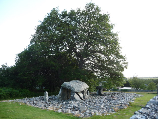
St Dwywe's Church
St Dwywe’s Church is a Grade II* listed church in Llanddwywe, Gwynedd, North Wales.It has a curvilinear churchyard and farm buildings on its west. Its...

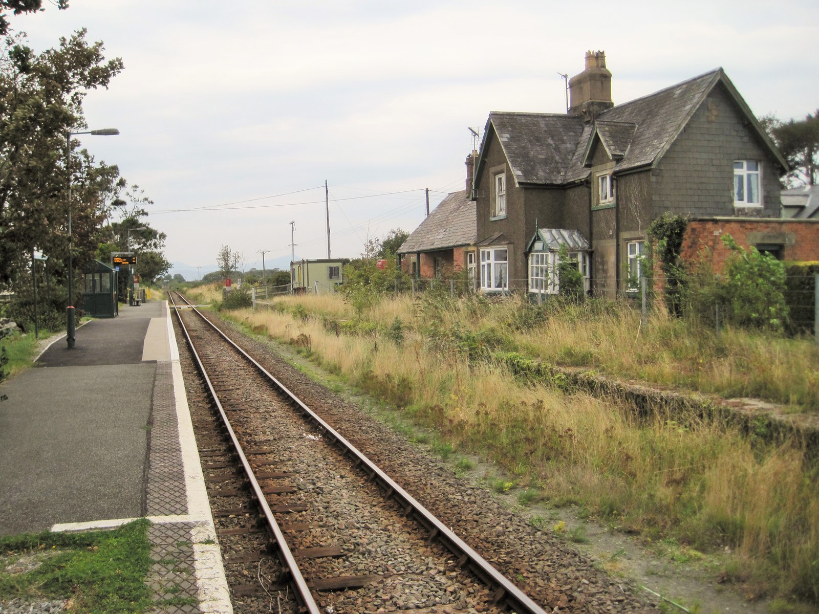
Talybont railway station
Talybont railway station serves the villages of Tal-y-bont and Llanddwywe in Gwynedd, Wales. The station is an unstaffed halt on the Cambrian Coast Railway...

Dyffryn Ardudwy
Dyffryn Ardudwy () is a village, community and electoral ward in the Ardudwy area of Gwynedd, Wales. It comprises several small, almost conjoined, villages...
Tal-y-bont, Dyffryn Ardudwy
Tal-y-bont (otherwise Talybont) is a village north of the town of Barmouth in north Wales. Tal-y-bont has a railway station on the Cambrian Line and has...
Dyffryn Ardudwy railway station
Dyffryn Ardudwy railway station serves the villages of Dyffryn Ardudwy, Coed Ystumgwern and Llanenddwyn in Gwynedd, Wales. Dyffryn Ardudwy gives its name...

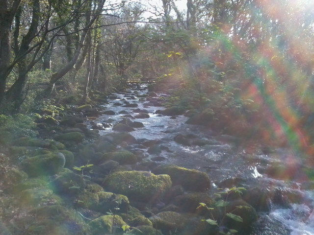
Afon Ysgethin
The Afon Ysgethin is a short river in Gwynedd, Wales. Flowing entirely within Snowdonia National Park it rises beneath the peaks of Y Llethr and Diffwys...

Morfa Dyffryn
Morfa Dyffryn beach is on the west coast of Wales, between Barmouth and Harlech in Gwynedd. This sandy beach is several miles long and is chiefly known...
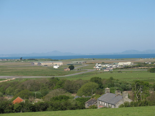
Llanbedr Airport
Llanbedr Airport (ICAO: EGFD) (Welsh: Maes Awyr Llanbedr), formerly RAE Llanbedr (ICAO: EGOD), is an operational general aviation airport located in the...
Nearby Amenities
Located within 500m of 52.780279,-4.09509Have you been to Llanddwywe?
Leave your review of Llanddwywe below (or comments, questions and feedback).