Hazel Covert

Wood, Forest in Anglesey

Wales

Hazel Covert

B5110 near Brynteg
B5110 near Brynteg Credit: Steven Brown

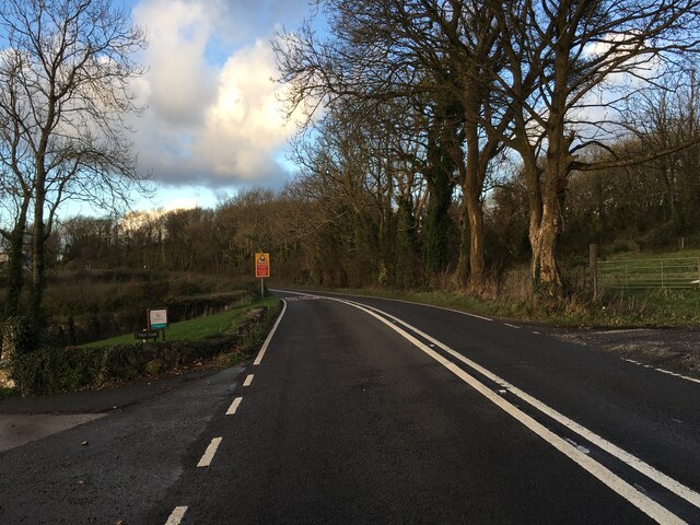
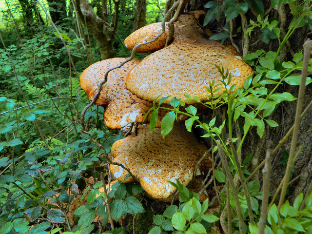
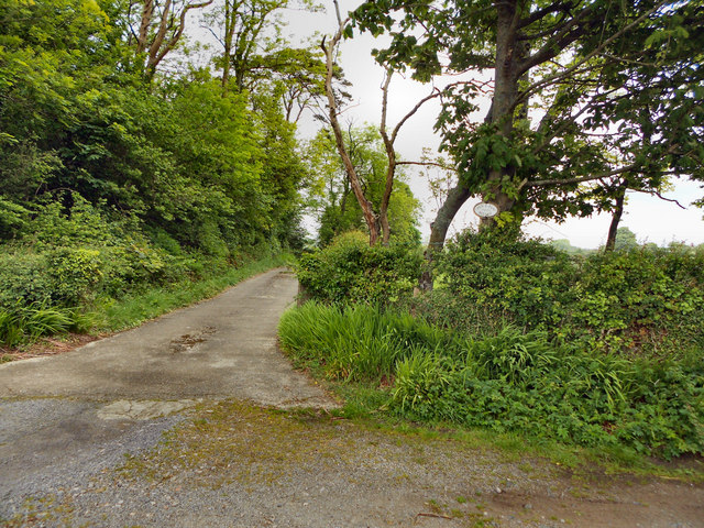
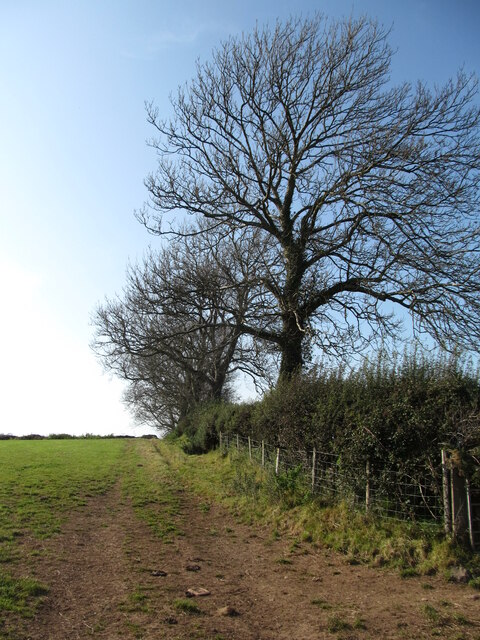
Hazel Covert, located in Anglesey, is a serene and enchanting wood or forest that offers visitors a delightful escape into nature. The covert is named after the abundance of hazel trees that populate the area, creating a unique and captivating landscape.

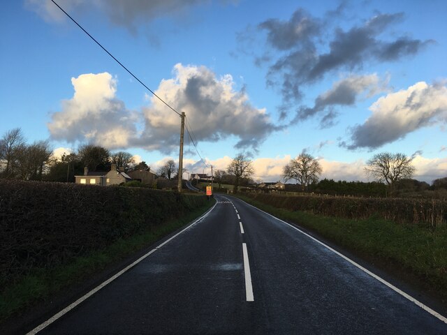
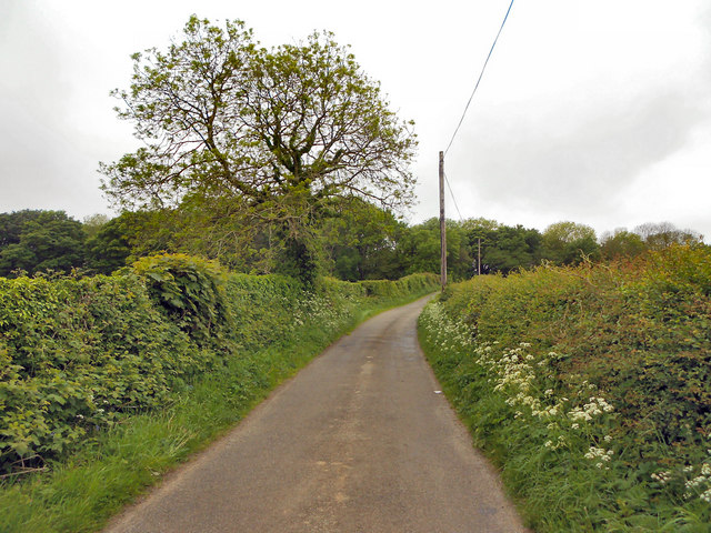
Situated in the picturesque countryside of Anglesey, Hazel Covert is a haven for nature lovers and outdoor enthusiasts. The wood covers a significant area, providing ample space for exploration and discovery. Its dense foliage and vibrant colors make it a stunning sight during all seasons.

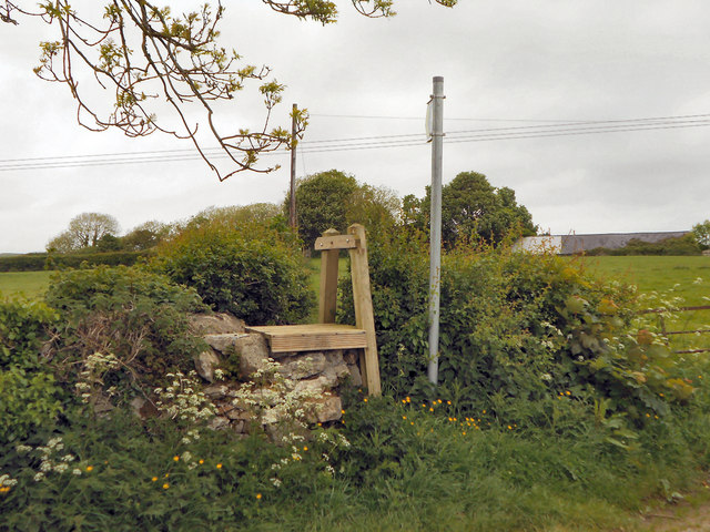
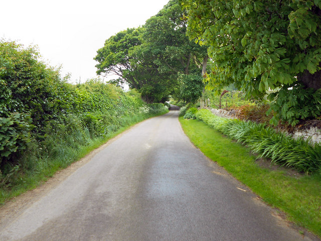
Visitors to Hazel Covert can enjoy a variety of activities such as hiking, bird-watching, or simply taking a leisurely stroll along the well-marked trails. The wood is home to a diverse range of wildlife, including birds, squirrels, and other small mammals, making it a popular spot for nature enthusiasts and photographers.

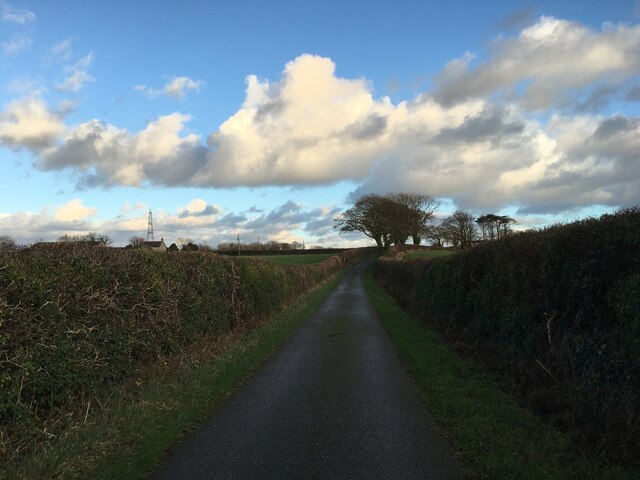
The peaceful ambiance of Hazel Covert attracts those seeking solitude and relaxation. It offers an escape from the hustle and bustle of everyday life, allowing visitors to immerse themselves in the beauty of nature. The tranquil atmosphere, combined with the soothing sounds of birdsong and rustling leaves, creates a truly magical experience.

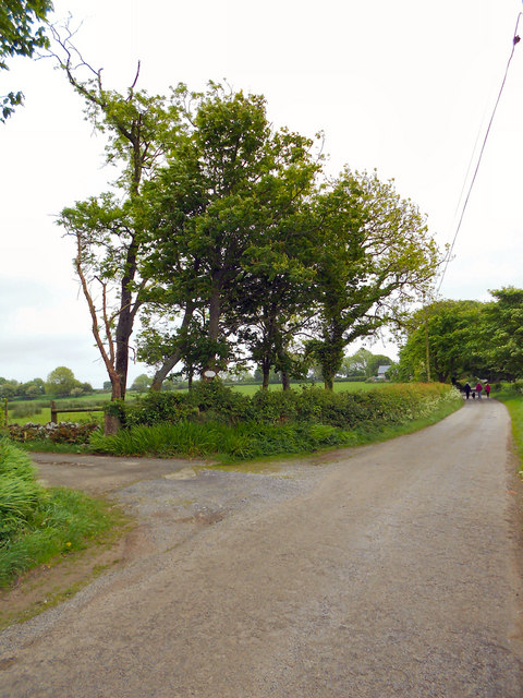
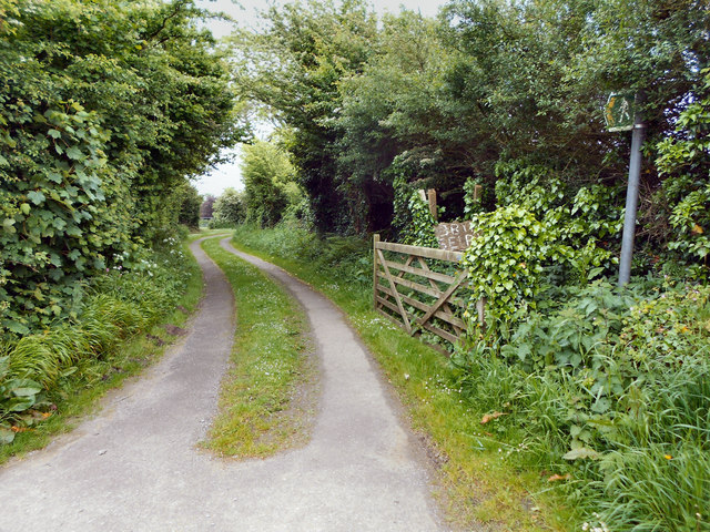
Hazel Covert is easily accessible, with well-maintained paths and plenty of parking spaces available. Whether you are a nature lover, a keen photographer, or simply someone in search of tranquility, a visit to Hazel Covert promises to be a memorable and rejuvenating experience.

If you have any feedback on the listing, please let us know in the comments section below.

Hazel Covert Images

Images are sourced within 2km of 53.283759/-4.2715342 or Grid Reference SH4878. Thanks to Geograph Open Source API. All images are credited.

B5110 near Brynteg
B5110 near Brynteg
B5110 near Glan Gors
Minor road near Rhosmeirch
Old chapel at Talwrn Shown on late 19thC maps as 'Methodist Chapel', the building now appears to be unused, but still in relatively good condition.
Old chapel at Talwrn
Shown on late 19thC maps as 'Methodist Chapel', the building now appears to be unused, but still in relatively good condition.
Postbox and houses in Talwrn A village spread out around a triangle of roads with no obvious centre.
Postbox and houses in Talwrn
A village spread out around a triangle of roads with no obvious centre.
Converted windmill There must be dozens of old windmills across Anglesey, where wind is a feature, but fast flowing streams for water power are rare. This old mill was photographed by Nigel Williams in 2006 and Eric Jones in 2007, but since then the mill has been transformed into a desirable and unusual residence.
Converted windmill
There must be dozens of old windmills across Anglesey, where wind is a feature, but fast flowing streams for water power are rare. This old mill was photographed by Nigel Williams in 2006 and Eric Jones in 2007, but since then the mill has been transformed into a desirable and unusual residence.
Track towards a plantation Rural Anglesey with sheep in fields either side of the track.
Track towards a plantation
Rural Anglesey with sheep in fields either side of the track.
Llanddyfnan Unnamed rural roads.
Llanddyfnan
Unnamed rural roads.
Tree Fungus (Dryad's Saddle) This fungus was on the trunk, about one metre from the base of the tree (which I think was an Ash). It is Polyporus squamosus (Dryad's Saddle) <span class="nowrap"><a title="http://www.aie.org.uk/fungi_base/dryads/aie_fungi_polyporus.html" rel="nofollow ugc noopener" href="http://www.aie.org.uk/fungi_base/dryads/aie_fungi_polyporus.html">Link</a><img style="margin-left:2px;" alt="External link" title="External link - shift click to open in new window" src="https://s1.geograph.org.uk/img/external.png" width="10" height="10"/></span> , 

Thanks to M J Richardson for confirmation, see more pictures of Polyporus squamosus at <a title="https://www.geograph.org.uk/search.php?i=22226561" href="https://www.geograph.org.uk/search.php?i=22226561">Link</a> .
Tree Fungus (Dryad's Saddle)
This fungus was on the trunk, about one metre from the base of the tree (which I think was an Ash). It is Polyporus squamosus (Dryad's Saddle) LinkExternal link , Thanks to M J Richardson for confirmation, see more pictures of Polyporus squamosus at Link .
Minor Road, Llanddyfnan
Stile Near Pen-y-fan Bellaf
Entrance to Pen-y-fan Bellaf
Pen-y-fan Bellaf
Pen-y-fan Bellaf
The Road To Llanbedrgoch
Footpath to Bryn-seiri
Stone-stepped Stile Stone stile on the minor road near Llanddyfnan
Stone-stepped Stile
Stone stile on the minor road near Llanddyfnan
Former chapel at Glan Gors
Hedge line close to the B5110 The surprising aspect of the photo is that the mature trees have all lost their leaves, and it is still September.
Hedge line close to the B5110
The surprising aspect of the photo is that the mature trees have all lost their leaves, and it is still September.
Show me another place!

Hazel Covert is located at Grid Ref: SH4878 (Lat: 53.283759, Lng: -4.2715342)

Unitary Authority: Isle of Anglesey

Police Authority: North Wales

What 3 Words

///gymnasium.tropic.impulsive. Near Llangefni, Isle of Anglesey

Related Wikis

Talwrn

Talwrn is a small village between the county town of Llangefni and Pentraeth on the Isle of Anglesey, north Wales. Talwrn is most notable for the Grade...

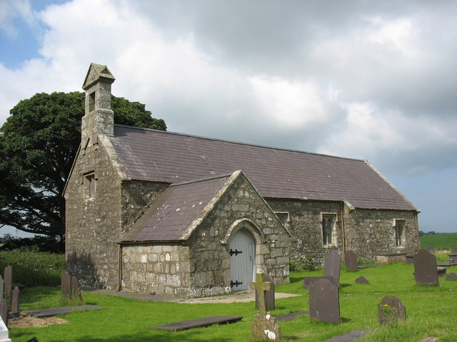
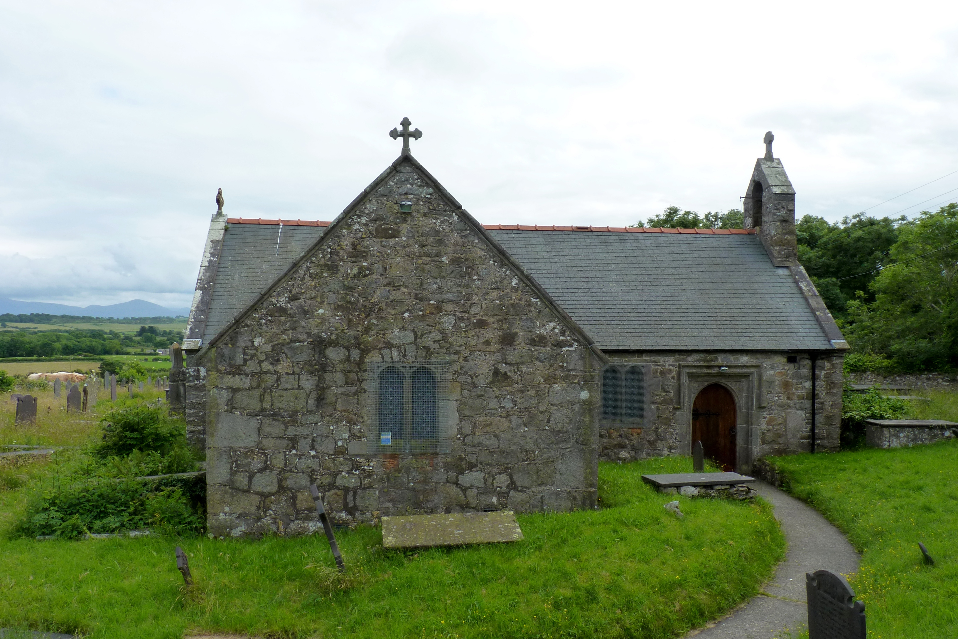
St Dyfnan's Church, Llanddyfnan

St Dyfnan's Church is a medieval church in the village of Llanddyfnan, Anglesey, Wales. The building dates from the 14th century and underwent extensive...

Llanddyfnan

Llanddyfnan is a village and community in Anglesey, Wales, located 3.5 miles (5.6 km) north east of Llangefni, 6.6 miles (10.6 km) north west of Menai...

Cors Bodeilio National Nature Reserve

Cors Bodeilio National Nature Reserve lies in a shallow valley outside Talwrn on the Isle of Anglesey. Most of the land consists of a lime-rich mire. This...

Hendre, Anglesey

Hendre is an area in the community of Llanddyfnan, Anglesey, Wales, which is 133.8 miles (215.3 km) from Cardiff and 214.9 miles (345.9 km) from London...

St Peter's Church, Llanbedrgoch

St Peter's Church, Llanbedrgoch, is a small medieval parish church near the village of Llanbedrgoch in Anglesey, north Wales. The oldest parts of the...

Rhosmeirch

Rhosmeirch () is a small village in Anglesey, Wales. It is in the community of Llangefni. It is located 1+1⁄2 miles (2.4 km) north of the county town,...

Llanbedrgoch

Llanbedrgoch () is a hamlet and post town, a mile south of the town of Benllech and west of Red Wharf Bay, on the island of Anglesey (Welsh: Ynys Môn)...

Nearby Amenities

Located within 500m of 53.283759,-4.2715342
Power: pole
Lat/Long: 53.2846489/-4.2668366
Power: pole
Lat/Long: 53.2850754/-4.2684513
Power: pole
Lat/Long: 53.2839722/-4.2642885
Power: pole
Lat/Long: 53.2855212/-4.269948
Power: pole
Lat/Long: 53.2867912/-4.2743253
Power: pole
Lat/Long: 53.286339/-4.2727643
Power: pole
Lat/Long: 53.2843795/-4.2658066
Power: pole
Lat/Long: 53.2859542/-4.2714875
Power: pole
Lat/Long: 53.2872273/-4.2758971
The data included in this document is from www.openstreetmap.org. The data is made available under ODbL.

Have you been to Hazel Covert?

Leave your review of Hazel Covert below (or comments, questions and feedback).