Leason Wood

Wood, Forest in Glamorgan

Wales

Leason Wood

Trig pillar  on Cilifor Top Cilifor Top is a small hill with steep slopes on all sides except for the south approach. It used to be a fort and you can still see where a bank has been built up on the southwest edge to augment the natural defences.
Now this trig point is the only construction on the grazing land. It offers an exceptional panorama - taking in the hills at the northwest of the gower peninsula, around through Carmarthen Bay, the Llanelli coastline, Loughor estuary and mountains in the Beacons national park.
Despite the absence of any markings on the OS 25k & 50k maps, there is a permissive path onto this hill.
Trig pillar on Cilifor Top Credit: Nigel Davies

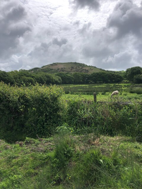
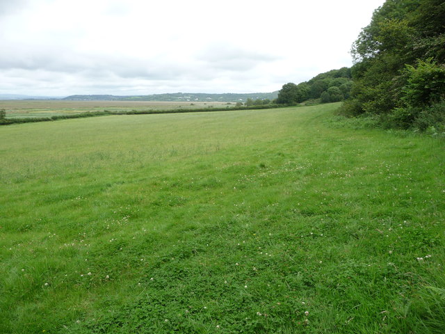
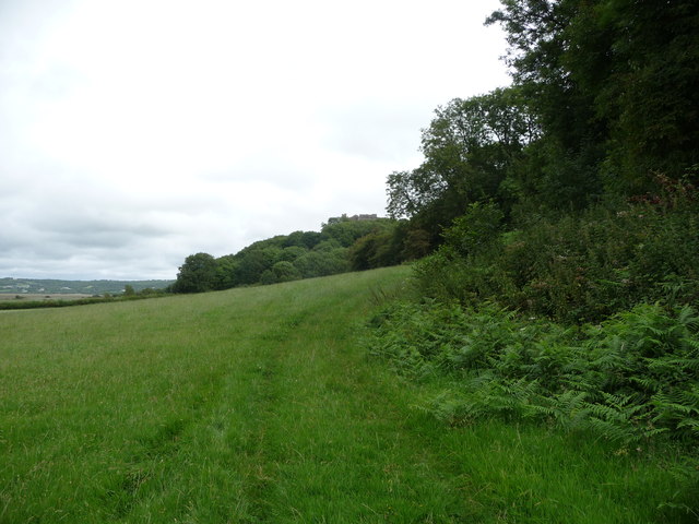
Leason Wood is a charming woodland located in Glamorgan, Wales. Covering an area of approximately 100 acres, it is a popular destination for nature enthusiasts, hikers, and those seeking a peaceful retreat from the hustle and bustle of city life.

The woodland is characterized by a diverse range of trees, including oak, beech, and birch, which create a beautiful canopy that provides shade and shelter for various wildlife species. Visitors can expect to see an array of bird species, such as woodpeckers, owls, and finches, as well as small mammals like squirrels and rabbits.

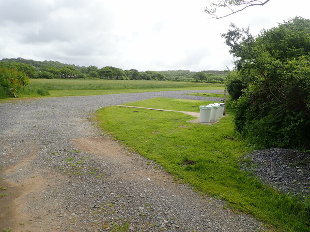
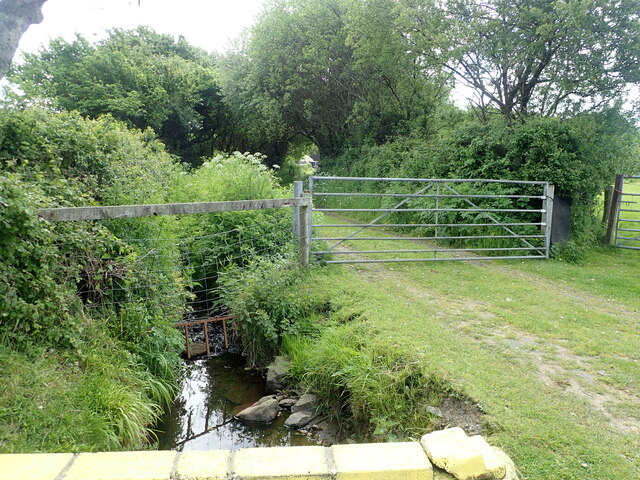
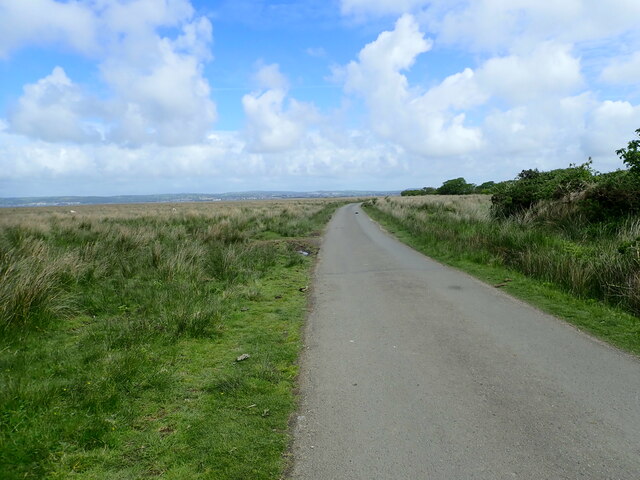
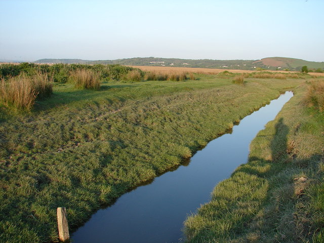
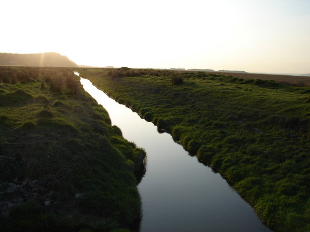
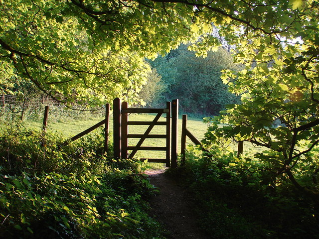
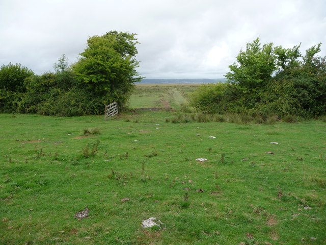
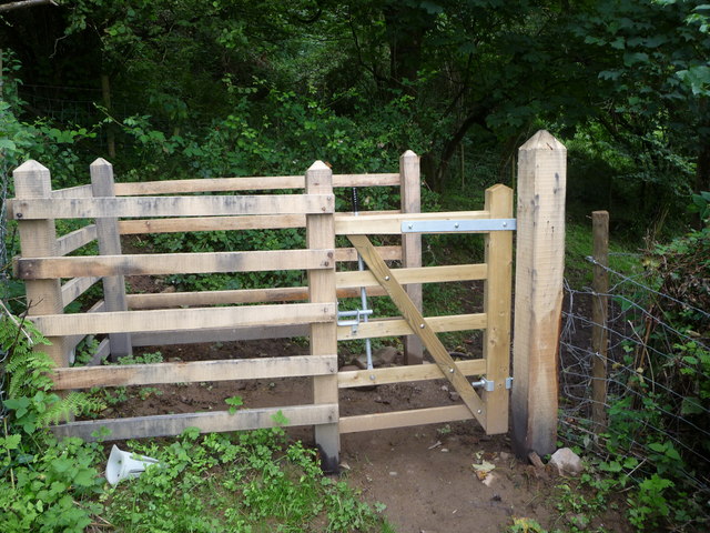
The woodland is crisscrossed by a network of well-maintained footpaths and trails, allowing visitors to explore its natural beauty at their own pace. Along these paths, one can discover hidden ponds, babbling brooks, and picturesque clearings that offer peaceful spots for picnics or simply taking in the serene surroundings.

Leason Wood is also home to a rich variety of plant life, with carpets of bluebells and wild garlic adorning the forest floor during the spring months, creating a breathtaking sight. Fungi enthusiasts will also find much to admire, as the woodland is home to a diverse range of mushrooms and toadstools.

Whether visiting for a leisurely stroll, a spot of wildlife watching, or a family day out, Leason Wood offers a tranquil and immersive experience in the heart of nature. With its captivating beauty and abundance of natural wonders, it is no wonder that Leason Wood is a cherished gem in the Glamorgan region.

If you have any feedback on the listing, please let us know in the comments section below.
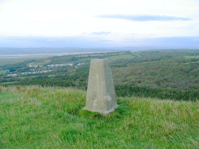
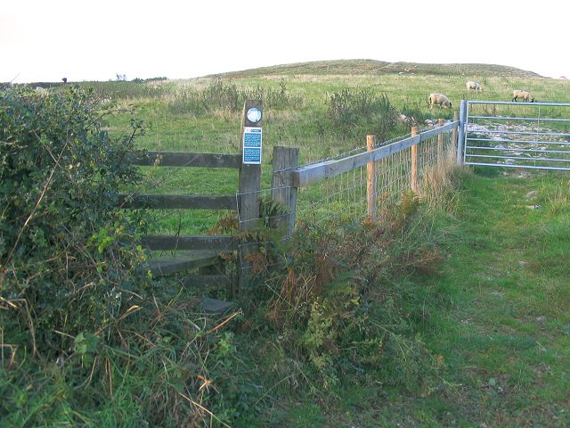
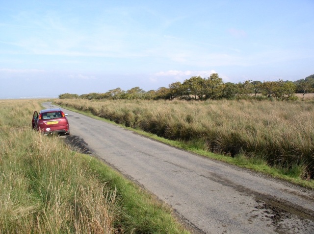
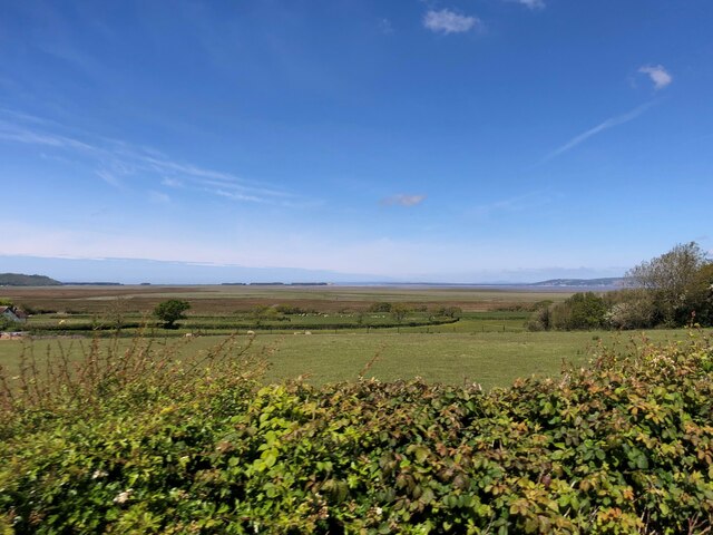
Leason Wood Images

Images are sourced within 2km of 51.611949/-4.1851391 or Grid Reference SS4892. Thanks to Geograph Open Source API. All images are credited.

Trig pillar  on Cilifor Top Cilifor Top is a small hill with steep slopes on all sides except for the south approach. It used to be a fort and you can still see where a bank has been built up on the southwest edge to augment the natural defences.
Now this trig point is the only construction on the grazing land. It offers an exceptional panorama - taking in the hills at the northwest of the gower peninsula, around through Carmarthen Bay, the Llanelli coastline, Loughor estuary and mountains in the Beacons national park.
Despite the absence of any markings on the OS 25k & 50k maps, there is a permissive path onto this hill.
Trig pillar on Cilifor Top
Cilifor Top is a small hill with steep slopes on all sides except for the south approach. It used to be a fort and you can still see where a bank has been built up on the southwest edge to augment the natural defences. Now this trig point is the only construction on the grazing land. It offers an exceptional panorama - taking in the hills at the northwest of the gower peninsula, around through Carmarthen Bay, the Llanelli coastline, Loughor estuary and mountains in the Beacons national park. Despite the absence of any markings on the OS 25k & 50k maps, there is a permissive path onto this hill.
Permissive path onto Cilifor Top Not marked on the OS maps, there is a permissive path allowing a short walk north to the hill from the road that passes south of it.
Permissive path onto Cilifor Top
Not marked on the OS maps, there is a permissive path allowing a short walk north to the hill from the road that passes south of it.
Llanrhidian Marsh road
Looking west from the 4295 Just beyond the fields is a vast area of salt marsh and then the estuary of the River Loughor.
Looking west from the 4295
Just beyond the fields is a vast area of salt marsh and then the estuary of the River Loughor.
Ordnance Survey Rivet This OS rivet can be found on the concrete slab west side of the road. It marks a point 5.419m above mean sea level.
Ordnance Survey Rivet
This OS rivet can be found on the concrete slab west side of the road. It marks a point 5.419m above mean sea level.
Cilifor Top This hill had an Iron Age hillfort and is about a quarter of a mile from the Wales Coast Path
Cilifor Top
This hill had an Iron Age hillfort and is about a quarter of a mile from the Wales Coast Path
Nant y Wrach Farm Camp site
Nant y Wrach Farm Track to the farm, named after the stream to the left which translates as Witch's Stream
Nant y Wrach Farm
Track to the farm, named after the stream to the left which translates as Witch's Stream
Marsh Road Between Llanrhidian and Crofty
Marsh Road
Between Llanrhidian and Crofty
Drainage at Llanrhidian Marsh View eastwards along the drainage channel on the National Trust's land here that almost cut off access to the gridsquare itself.
Drainage at Llanrhidian Marsh
View eastwards along the drainage channel on the National Trust's land here that almost cut off access to the gridsquare itself.
Westward view Looking along the channel from the gridsquare with the steep sides of Tor-gro  evident in the distance.
Westward view
Looking along the channel from the gridsquare with the steep sides of Tor-gro evident in the distance.
Grazing land near Weobley Castle The golden glow of the setting sun illuminates the scene.  The top of Tor-gro is prominent in the left of the photo.
Grazing land near Weobley Castle
The golden glow of the setting sun illuminates the scene. The top of Tor-gro is prominent in the left of the photo.
Green gate Gate in the public footpath which leads to the adjacent field.
Green gate
Gate in the public footpath which leads to the adjacent field.
North Gower Hotel
North Gower Hotel
Open gate from fields onto Llanrhidian Marsh The cattle and sheep have vacated this field in favour of the richer grazing out on the saltmarsh.
Open gate from fields onto Llanrhidian Marsh
The cattle and sheep have vacated this field in favour of the richer grazing out on the saltmarsh.
New kissing-gate near Weobley Castle The mud stains look very recent.
New kissing-gate near Weobley Castle
The mud stains look very recent.
Footpath across fields above Llanrhidian Marsh The footpath follows the field edge here towards Weobley Castle.
Footpath across fields above Llanrhidian Marsh
The footpath follows the field edge here towards Weobley Castle.
Weobley Castle form the footpath across fields below Castle Wood The castle appears above the trees on the hilltop above.
Weobley Castle form the footpath across fields below Castle Wood
The castle appears above the trees on the hilltop above.
Show me another place!

Leason Wood is located at Grid Ref: SS4892 (Lat: 51.611949, Lng: -4.1851391)

Unitary Authority: Swansea

Police Authority: South Wales

What 3 Words

///neckline.lunging.whizzing. Near Crofty, Swansea

Nearby Locations

Leason Wood Leason

Related Wikis

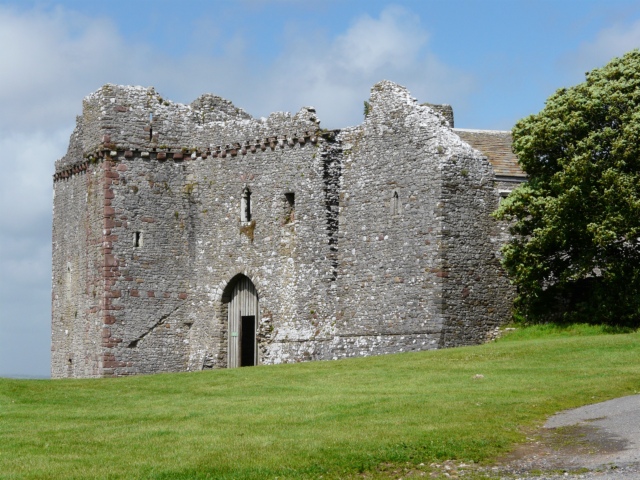
Weobley Castle, Gower

Weobley Castle (pronounced "weblee "; Welsh: Castell Weble) is a 14th-century fortified manor house on the Gower Peninsula, Wales, in the care of Cadw...

Llanrhidian Lower

Llanrhidian Lower is a community in the Gower peninsula forming the west of Swansea, south Wales. The community has its own elected community council...

Landimore

Landimore (Welsh: Llandîmôr) is a hamlet on the north coast of the Gower, in the City and County of Swansea, south Wales. To the north are the extensive...

Reynoldston

Reynoldston is a rural village and a community in the City and County of Swansea, Wales, which had a population of 439 in 2011. The community has its own...

Nearby Amenities

Located within 500m of 51.611949,-4.1851391
Created By: almien_coastlines
Source: PGS
Lat/Long: 51.6144837/-4.1809408
Power: pole
Lat/Long: 51.609359/-4.1875559
Power: pole
Lat/Long: 51.6092358/-4.1865769
Power: pole
Lat/Long: 51.6086378/-4.1858473
Power: pole
Lat/Long: 51.6081064/-4.1852546
The data included in this document is from www.openstreetmap.org. The data is made available under ODbL.

Have you been to Leason Wood?

Leave your review of Leason Wood below (or comments, questions and feedback).