Allt Byrn-gwyn

Wood, Forest in Cardiganshire

Wales

Allt Byrn-gwyn

Tollhouse, Aberaeron North Turnpike The gate-post on the opposite side of the road bore an Ordnance Survey benchmark:

The mark was used on the Warrington to Pembroke Docks line of the First Primary Levelling of England & Wales in 1851-1852. It was levelled with a height of 61.650' above OD (Liverpool). Description: 664. Mark on West post of Aberaeron North Turnpike-gate ; 1.93 ft. above surface. Page 534 of the abstract: <span class="nowrap"><a title="https://www.bench-marks.org.uk/abstract/ew1gl/1GLA_534.png" rel="nofollow ugc noopener" href="https://www.bench-marks.org.uk/abstract/ew1gl/1GLA_534.png">Link</a><img style="margin-left:2px;" alt="External link" title="External link - shift click to open in new window" src="https://s1.geograph.org.uk/img/external.png" width="10" height="10"/></span>

From the West: <a href="https://www.geograph.org.uk/photo/7056118">SN4663 : Tollhouse, Aberaeron North Turnpike</a>
Tollhouse, Aberaeron North Turnpike Credit: N Scott

Allt Byrn-gwyn is a picturesque wood located in Cardiganshire, a county in Wales. This forested area covers a vast expanse of land, offering visitors a tranquil and immersive experience in nature. With its stunning landscapes and diverse flora and fauna, Allt Byrn-gwyn is a popular destination for nature enthusiasts and hikers.

The wood is characterized by its dense canopy of trees, including various species such as oak, beech, and coniferous trees. The vibrant green foliage provides a serene ambiance and offers a respite from the hustle and bustle of city life. Visitors can explore the numerous walking trails that wind through the woods, allowing them to discover the hidden gems that lie within.

Birdwatchers will find delight in Allt Byrn-gwyn, as it is home to a wide array of bird species. From the melodious chirping of songbirds to the majestic flight of birds of prey, the forest is a haven for avian enthusiasts. Wildlife lovers may also spot woodland creatures such as deer, foxes, and rabbits, adding to the enchantment of the surroundings.

Allt Byrn-gwyn is not only a place of natural beauty but also holds historical significance. It is said to have been a sacred site for the Celts, who believed in the mystical powers of the forest. The ancient ruins scattered throughout the wood serve as reminders of the area's rich cultural heritage.

Whether one seeks solace in nature, desires to explore the trails, or wishes to connect with the history of the land, Allt Byrn-gwyn offers an unforgettable experience in the heart of Cardiganshire.

If you have any feedback on the listing, please let us know in the comments section below.

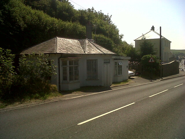
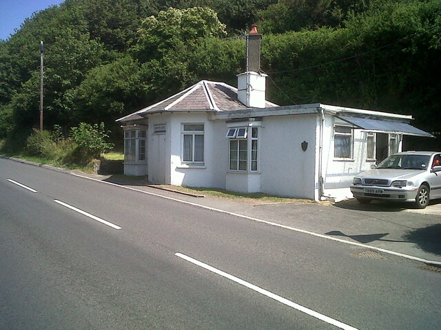
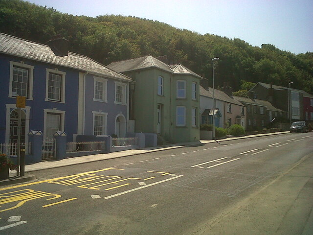
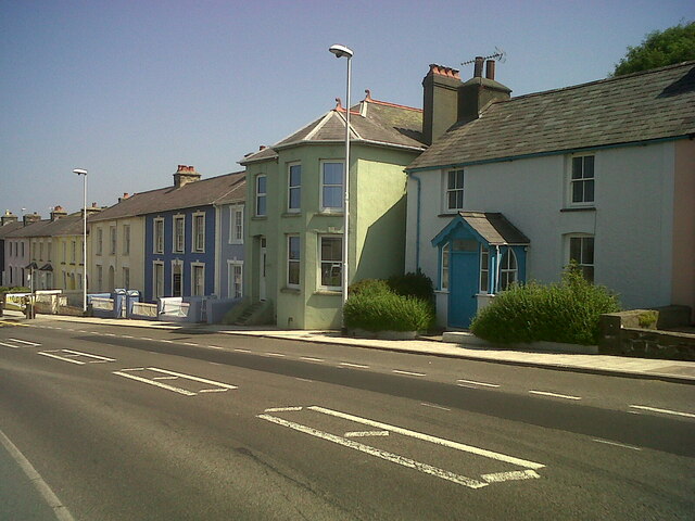
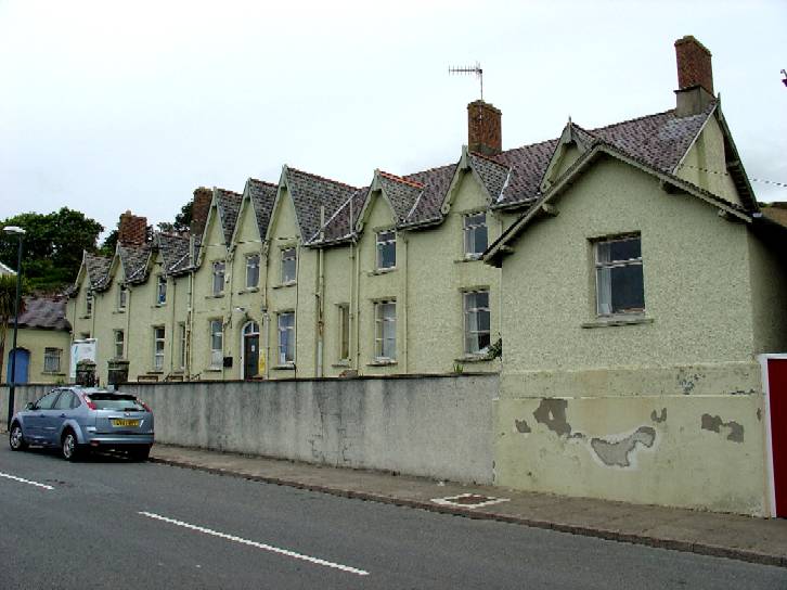
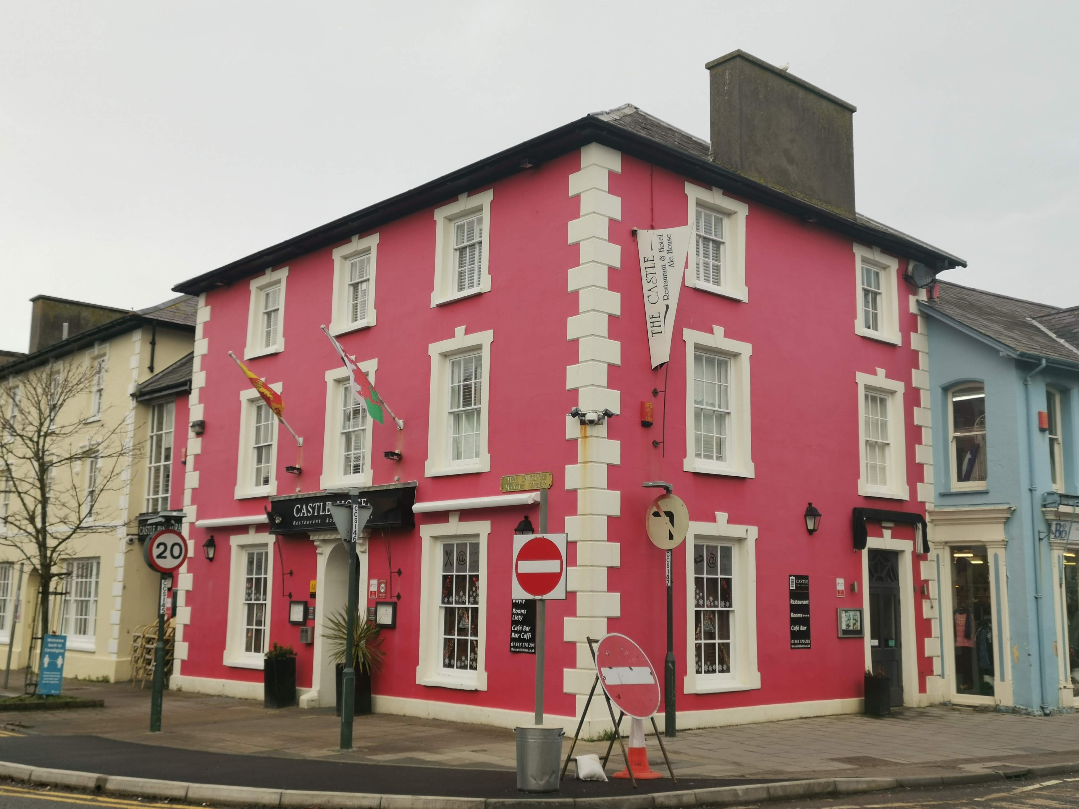
Allt Byrn-gwyn Images

Images are sourced within 2km of 52.23145/-4.2474575 or Grid Reference SN4661. Thanks to Geograph Open Source API. All images are credited.

Tollhouse, Aberaeron North Turnpike The gate-post on the opposite side of the road bore an Ordnance Survey benchmark:

The mark was used on the Warrington to Pembroke Docks line of the First Primary Levelling of England & Wales in 1851-1852. It was levelled with a height of 61.650' above OD (Liverpool). Description: 664. Mark on West post of Aberaeron North Turnpike-gate ; 1.93 ft. above surface. Page 534 of the abstract: <span class="nowrap"><a title="https://www.bench-marks.org.uk/abstract/ew1gl/1GLA_534.png" rel="nofollow ugc noopener" href="https://www.bench-marks.org.uk/abstract/ew1gl/1GLA_534.png">Link</a><img style="margin-left:2px;" alt="External link" title="External link - shift click to open in new window" src="https://s1.geograph.org.uk/img/external.png" width="10" height="10"/></span>

From the West: <a href="https://www.geograph.org.uk/photo/7056118">SN4663 : Tollhouse, Aberaeron North Turnpike</a>
Tollhouse, Aberaeron North Turnpike
The gate-post on the opposite side of the road bore an Ordnance Survey benchmark: The mark was used on the Warrington to Pembroke Docks line of the First Primary Levelling of England & Wales in 1851-1852. It was levelled with a height of 61.650' above OD (Liverpool). Description: 664. Mark on West post of Aberaeron North Turnpike-gate ; 1.93 ft. above surface. Page 534 of the abstract: LinkExternal link From the West: SN4663 : Tollhouse, Aberaeron North Turnpike
Tollhouse, Aberaeron North Turnpike The gate-post on the opposite side of the road bore an Ordnance Survey benchmark:

The mark was used on the Warrington to Pembroke Docks line of the First Primary Levelling of England & Wales in 1851-1852. It was levelled with a height of 61.650' above OD (Liverpool). Description: 664. Mark on West post of Aberaeron North Turnpike-gate ; 1.93 ft. above surface. Page 534 of the abstract: <span class="nowrap"><a title="https://www.bench-marks.org.uk/abstract/ew1gl/1GLA_534.png" rel="nofollow ugc noopener" href="https://www.bench-marks.org.uk/abstract/ew1gl/1GLA_534.png">Link</a><img style="margin-left:2px;" alt="External link" title="External link - shift click to open in new window" src="https://s1.geograph.org.uk/img/external.png" width="10" height="10"/></span>

From the North-east: <a href="https://www.geograph.org.uk/photo/7056115">SN4663 : Tollhouse, Aberaeron North Turnpike</a>
Tollhouse, Aberaeron North Turnpike
The gate-post on the opposite side of the road bore an Ordnance Survey benchmark: The mark was used on the Warrington to Pembroke Docks line of the First Primary Levelling of England & Wales in 1851-1852. It was levelled with a height of 61.650' above OD (Liverpool). Description: 664. Mark on West post of Aberaeron North Turnpike-gate ; 1.93 ft. above surface. Page 534 of the abstract: LinkExternal link From the North-east: SN4663 : Tollhouse, Aberaeron North Turnpike
Tollhouse, Aberaeron West Turnpike The house to the West (right) of the tollhouse bore an Ordnance Survey benchmark:

The mark was used on the Warrington to Pembroke Docks line of the First Primary Levelling of England & Wales in 1851-1852. It was levelled with a height of 79.263' above OD (Liverpool). Description: 666. Mark on front of John Jones's house, at West side of Aberaeron West Turnpike-gate ; 0.87 ft. above surface. Page 535 of the abstract: <span class="nowrap"><a title="https://www.bench-marks.org.uk/abstract/ew1gl/1GLA_535.png" rel="nofollow ugc noopener" href="https://www.bench-marks.org.uk/abstract/ew1gl/1GLA_535.png">Link</a><img style="margin-left:2px;" alt="External link" title="External link - shift click to open in new window" src="https://s1.geograph.org.uk/img/external.png" width="10" height="10"/></span>

From the West: <a href="https://www.geograph.org.uk/photo/7056132">SN4562 : Tollhouse, Aberaeron West Turnpike</a>
Tollhouse, Aberaeron West Turnpike
The house to the West (right) of the tollhouse bore an Ordnance Survey benchmark: The mark was used on the Warrington to Pembroke Docks line of the First Primary Levelling of England & Wales in 1851-1852. It was levelled with a height of 79.263' above OD (Liverpool). Description: 666. Mark on front of John Jones's house, at West side of Aberaeron West Turnpike-gate ; 0.87 ft. above surface. Page 535 of the abstract: LinkExternal link From the West: SN4562 : Tollhouse, Aberaeron West Turnpike
Tollhouse, Aberaeron West Turnpike The house to the West (right) of the tollhouse bore an Ordnance Survey benchmark:

The mark was used on the Warrington to Pembroke Docks line of the First Primary Levelling of England & Wales in 1851-1852. It was levelled with a height of 79.263' above OD (Liverpool). Description: 666. Mark on front of John Jones's house, at West side of Aberaeron West Turnpike-gate ; 0.87 ft. above surface. Page 535 of the abstract: <span class="nowrap"><a title="https://www.bench-marks.org.uk/abstract/ew1gl/1GLA_535.png" rel="nofollow ugc noopener" href="https://www.bench-marks.org.uk/abstract/ew1gl/1GLA_535.png">Link</a><img style="margin-left:2px;" alt="External link" title="External link - shift click to open in new window" src="https://s1.geograph.org.uk/img/external.png" width="10" height="10"/></span>

From the North: <a href="https://www.geograph.org.uk/photo/7056127">SN4562 : Tollhouse, Aberaeron West Turnpike</a>
Tollhouse, Aberaeron West Turnpike
The house to the West (right) of the tollhouse bore an Ordnance Survey benchmark: The mark was used on the Warrington to Pembroke Docks line of the First Primary Levelling of England & Wales in 1851-1852. It was levelled with a height of 79.263' above OD (Liverpool). Description: 666. Mark on front of John Jones's house, at West side of Aberaeron West Turnpike-gate ; 0.87 ft. above surface. Page 535 of the abstract: LinkExternal link From the North: SN4562 : Tollhouse, Aberaeron West Turnpike
Llanerchaeron House and Garden: Fireplace in the study
Llanerchaeron House and Garden: Bookcase in the study
Llanerchaeron House and Garden: Badger
Llanerchaeron House and Garden: Stairs leading to the first floor
Llanerchaeron House and Garden: The dome
Llanerchaeron House and Garden: Bedroom
Llanerchaeron House and Garden: Bedroom dressing table
Llanerchaeron House and Garden: Washing requisites
Llanerchaeron House and Garden: Rest room with sink
Llanerchaeron House and Garden: Display of crockery in the kitchen
Llanerchaeron House and Garden: Kitchen
Llanerchaeron House and Garden: Kitchen range
Llanerchaeron House and Garden: Scullery
Show me another place!

Allt Byrn-gwyn is located at Grid Ref: SN4661 (Lat: 52.23145, Lng: -4.2474575)

Unitary Authority: Ceredigion

Police Authority: Dyfed Powys

What 3 Words

///surveyors.continued.splash. Near Aberaeron, Ceredigion

Related Wikis

Nearby Amenities

Located within 500m of 52.23145,-4.2474575
Source: npe
Lat/Long: 52.2325748/-4.2534738
Source: npe
Lat/Long: 52.2323363/-4.2520605
Source: npe
Lat/Long: 52.230698/-4.2498368
Source: npe
Lat/Long: 52.228679/-4.2473337
Source: npe
Lat/Long: 52.2277797/-4.2461347
Place: farm
Lat/Long: 52.2290809/-4.2514136
Tourism: picnic_site
Lat/Long: 52.2339098/-4.25349
The data included in this document is from www.openstreetmap.org. The data is made available under ODbL.

Have you been to Allt Byrn-gwyn?

Leave your review of Allt Byrn-gwyn below (or comments, questions and feedback).