Glyn Covert

Wood, Forest in Caernarfonshire

Wales

Glyn Covert

Cae ger Betws Fawr - Field near Betws Fawr The land here falls steeply down to Afon Dwyfach.
Cae ger Betws Fawr - Field near Betws Fawr Credit: Alan Fryer

Glyn Covert, Caernarfonshire, also known as Glyn Forest, is a picturesque woodland located in the county of Caernarfonshire, Wales. Nestled amidst the stunning Snowdonia National Park, Glyn Covert is a haven for nature enthusiasts, hikers, and those seeking tranquility in the midst of scenic beauty.

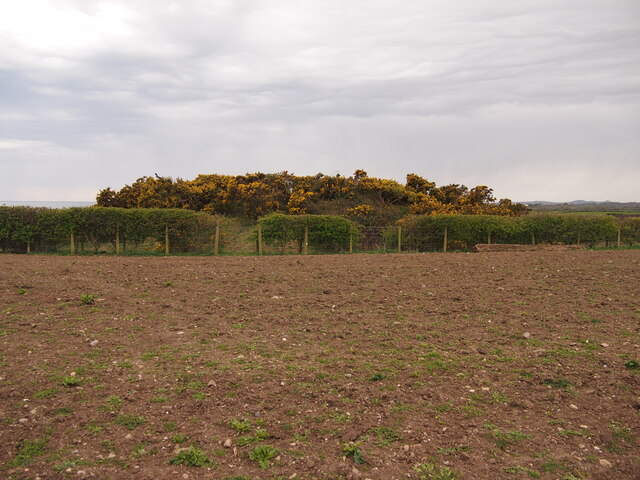
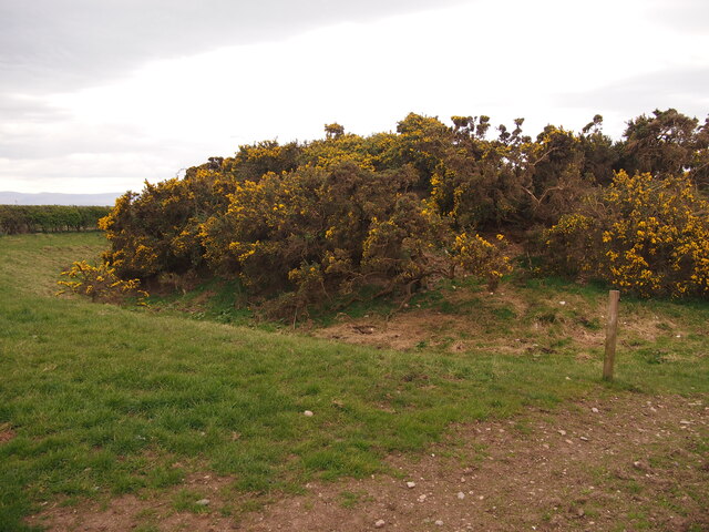
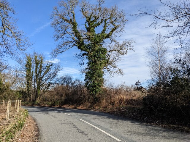
Covering an expansive area, Glyn Covert is characterized by dense woodlands, towering trees, and a rich biodiversity. The forest is predominantly composed of native tree species, including oak, birch, and coniferous trees, which create a lush and verdant landscape throughout the year. These trees provide a habitat for a variety of wildlife, such as birds, squirrels, and foxes, adding to the area's ecological significance.

The forest is crisscrossed by a network of well-maintained trails, offering visitors the opportunity to explore its natural wonders on foot. These trails cater to different levels of difficulty, making Glyn Covert accessible for both casual walkers and experienced hikers. Along the way, walkers can enjoy breathtaking views of the surrounding mountains, cascading streams, and occasional glimpses of wildlife.

Glyn Covert is not only a place of natural beauty but also holds historical and cultural significance. The forest has been a part of the local landscape for centuries and has witnessed the passage of time. It has served as a provider of timber, shelter, and inspiration for generations of locals.

Visitors to Glyn Covert can expect a peaceful and serene atmosphere, away from the hustle and bustle of urban life. Whether it's a leisurely stroll, a challenging hike, or simply a moment of tranquility in nature, Glyn Covert offers something for everyone who appreciates the beauty of the natural world.

If you have any feedback on the listing, please let us know in the comments section below.
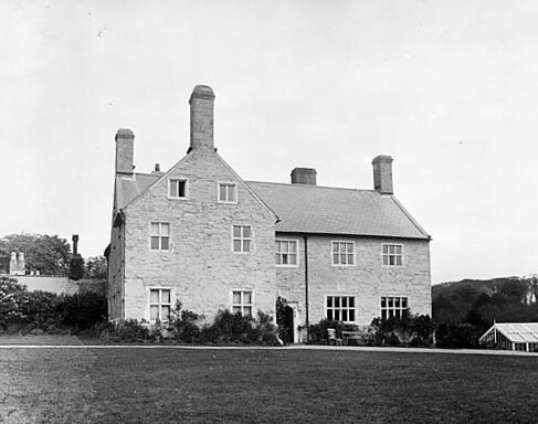
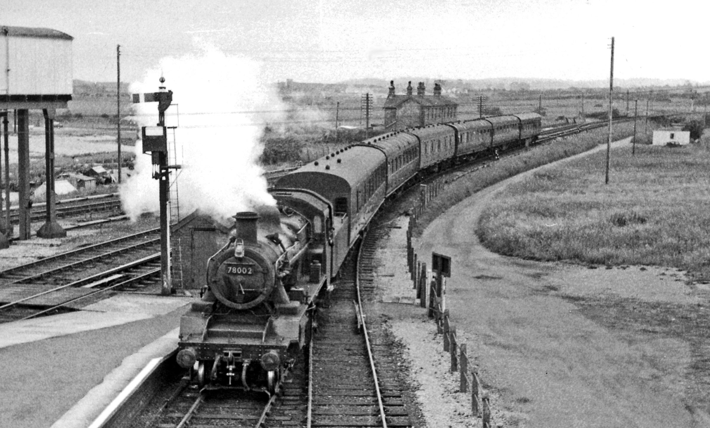
Glyn Covert Images

Images are sourced within 2km of 52.920712/-4.28281 or Grid Reference SH4638. Thanks to Geograph Open Source API. All images are credited.

Cae ger Betws Fawr - Field near Betws Fawr The land here falls steeply down to Afon Dwyfach.
Cae ger Betws Fawr - Field near Betws Fawr
The land here falls steeply down to Afon Dwyfach.
Ffordd gul ger Betws Fawr - Narrow road near Betws Fawr Glan y Wern runs from Chwilog to Glandwyfach.
Ffordd gul ger Betws Fawr - Narrow road near Betws Fawr
Glan y Wern runs from Chwilog to Glandwyfach.
Y Lôn Goed Y Lôn Goed (Wood Lane) was constructed from 1819 to 1828 by John Maughan through the land of the Talhenbont estate to facilitate the transport of lime and peat. It runs about five miles from Afonwen to Hendre Cennin.
Y Lôn Goed
Y Lôn Goed (Wood Lane) was constructed from 1819 to 1828 by John Maughan through the land of the Talhenbont estate to facilitate the transport of lime and peat. It runs about five miles from Afonwen to Hendre Cennin.
Field entrance Viewed from the road which forms part of National Cycle Network route 8.
Field entrance
Viewed from the road which forms part of National Cycle Network route 8.
Tree shrouded lane National Cycle Network route 8 runs along the road.
Tree shrouded lane
National Cycle Network route 8 runs along the road.
Tomen Fawr, Glanllynau Possibly a ring motte.
Tomen Fawr, Glanllynau
Possibly a ring motte.
Ditch and Bank, Tomen Fawr
Ivy gives character The ivy-covered tree takes on a new form.
Ivy gives character
The ivy-covered tree takes on a new form.
A small area of woodland Left behind, it seems, when the land was cleared for fields.
A small area of woodland
Left behind, it seems, when the land was cleared for fields.
The lane to Gwynfryn Farm
Private Road A smart sign for the farm and cottages.
Private Road
A smart sign for the farm and cottages.
Cows beyond the gate
Rock on the beach... ...with Criccieth in the distance and farther back still, Snowdonia.   This appears to be a hefty boulder from the Allt Fawr rhyolitic tuff formation, being igneous bedrock formed between 458.4 and 449 million years ago during the Ordovician period (information from the British Geological Society interactive viewer).
Rock on the beach...
...with Criccieth in the distance and farther back still, Snowdonia. This appears to be a hefty boulder from the Allt Fawr rhyolitic tuff formation, being igneous bedrock formed between 458.4 and 449 million years ago during the Ordovician period (information from the British Geological Society interactive viewer).
Afon Dwyfor meets the sea Afon Dwyfor (the Big Holy River) is about 20 km long and rises in Snowdonia: <span class="nowrap"><a title="https://en.wikipedia.org/wiki/Afon_Dwyfor" rel="nofollow ugc noopener" href="https://en.wikipedia.org/wiki/Afon_Dwyfor">Link</a><img style="margin-left:2px;" alt="External link" title="External link - shift click to open in new window" src="https://s1.geograph.org.uk/img/external.png" width="10" height="10"/></span> .
Afon Dwyfor meets the sea
Afon Dwyfor (the Big Holy River) is about 20 km long and rises in Snowdonia: LinkExternal link .
Coastal rocks west of Criccieth
Buildings of Ynysgain Fawr farm... ...as seen from the Wales Coast Path.
Buildings of Ynysgain Fawr farm...
...as seen from the Wales Coast Path.
Derelict sheds by the path
Afon Dwyfor nears the sea
Show me another place!

Glyn Covert is located at Grid Ref: SH4638 (Lat: 52.920712, Lng: -4.28281)

Unitary Authority: Gwynedd

Police Authority: North Wales

What 3 Words

///crafts.calm.written. Near Criccieth, Gwynedd

Nearby Locations

Glyn Covert Cabin Wood

Related Wikis

Nearby Amenities

Located within 500m of 52.920712,-4.28281
Parking
Parking: layby
Source: Bing
Lat/Long: 52.9188022/-4.2849577
Direction: 165
Generator Method: photovoltaic
Generator Output Electricity: yes
Generator Solar Modules: 16
Generator Source: solar
Generator Type: solar_photovoltaic_panel
Location: roof
Power: generator
Lat/Long: 52.9221077/-4.278051
The data included in this document is from www.openstreetmap.org. The data is made available under ODbL.

Have you been to Glyn Covert?

Leave your review of Glyn Covert below (or comments, questions and feedback).