Allt Castellgeifr

Wood, Forest in Cardiganshire

Wales

Allt Castellgeifr

Church of St David Panorama Viewed from a lay-by on the A487
Church of St David Panorama Credit: Kevin Waterhouse

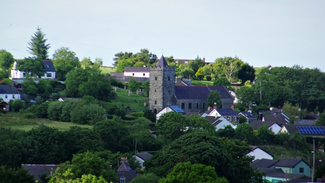
Allt Castellgeifr is a picturesque wood located in Cardiganshire, Wales. Situated near the village of Castellgeifr, this enchanting forest spans an area of approximately 50 acres. The wood is named after the nearby hill, which translates to "Hill of the Goat Castle" in English.

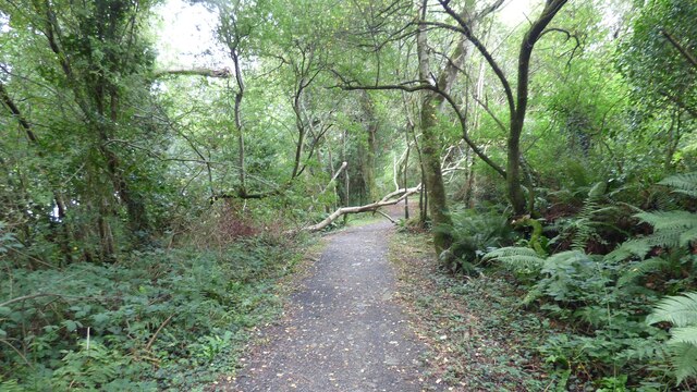
The wood boasts a diverse range of tree species, including oak, beech, and birch. The towering trees create a dense canopy, casting dappled sunlight onto the forest floor below. The undergrowth is rich and varied, with ferns, bluebells, and wild garlic adding a splash of color to the landscape.

Allt Castellgeifr is home to a wide array of wildlife. Birds such as woodpeckers, owls, and thrushes can be heard singing their melodious tunes throughout the year. The forest also provides a habitat for mammals like foxes, badgers, and voles, as well as numerous insect species.

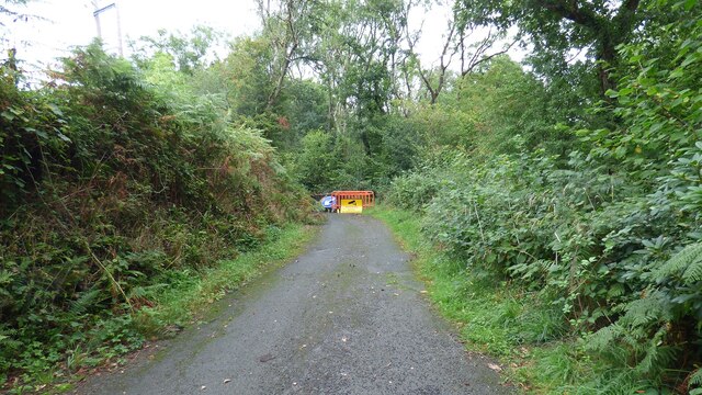
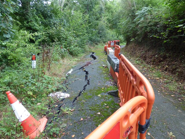
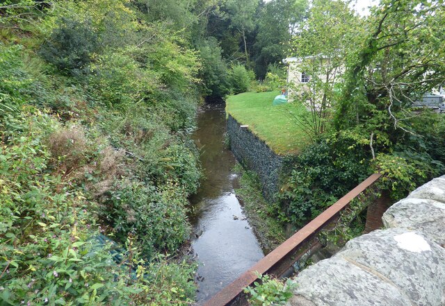
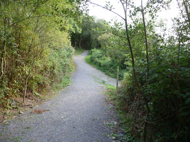
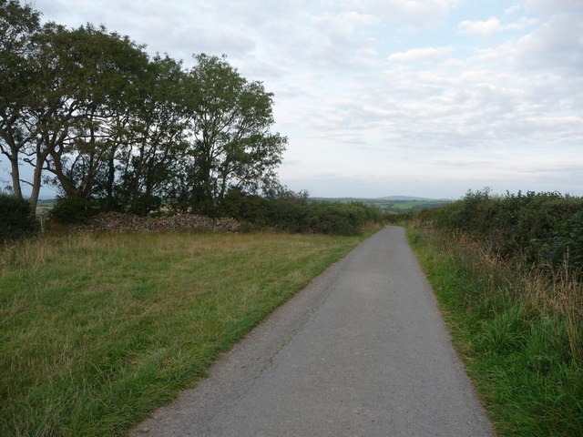
The wood is popular among nature enthusiasts and hikers who enjoy exploring its peaceful trails. There are several well-marked paths that wind through the forest, offering visitors the opportunity to immerse themselves in the tranquil surroundings. These paths also lead to a small stream that meanders through the wood, adding to its serene ambiance.

Allt Castellgeifr is a true gem of Cardiganshire, offering a haven of natural beauty and tranquility. Whether it's a leisurely stroll, birdwatching, or simply escaping the hustle and bustle of everyday life, this wood provides an idyllic setting for all nature lovers to enjoy.

If you have any feedback on the listing, please let us know in the comments section below.

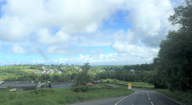
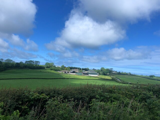
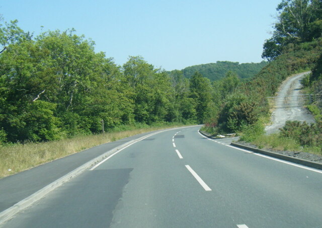
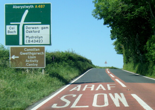
Allt Castellgeifr Images

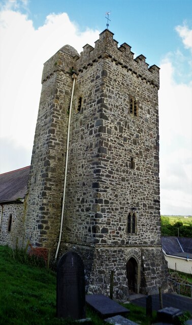
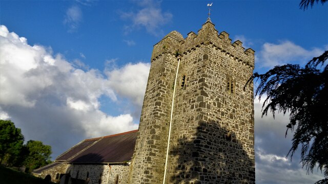
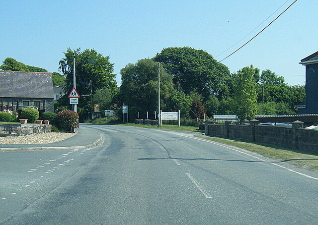
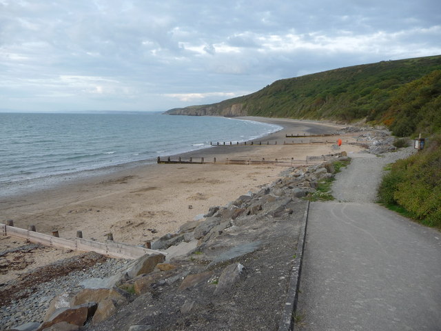
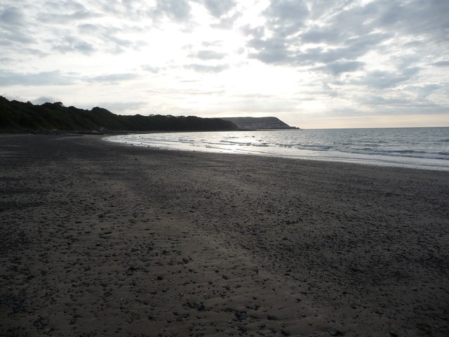
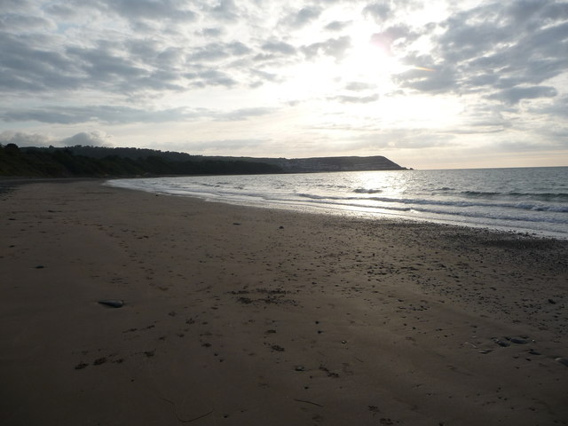
Images are sourced within 2km of 52.203125/-4.3162768 or Grid Reference SN4158. Thanks to Geograph Open Source API. All images are credited.

Church of St David Panorama Viewed from a lay-by on the A487
Church of St David Panorama
Viewed from a lay-by on the A487
Church of St David The west tower with the staircase tower
Church of St David
The west tower with the staircase tower
Church of St David The church is cut into the hillside so very difficult to photograph. Under the bell tower is a good inscribed cross grave stone (or marker)
Church of St David
The church is cut into the hillside so very difficult to photograph. Under the bell tower is a good inscribed cross grave stone (or marker)
Closed Road Only walkers can pass.
Closed Road
Only walkers can pass.
Road Subsidence This road appears to be sliding down the hill.
Road Subsidence
This road appears to be sliding down the hill.
Afon Llethi at Gilfachreda
Ceredigion Coast Path A tree fallen across the path at this point.
Ceredigion Coast Path
A tree fallen across the path at this point.
St David's Church <span class="nowrap"><a title="https://www.dyfedarchaeology.org.uk/wp/discovery/projects/churches/st-david-llanarth-ceredigion/" rel="nofollow ugc noopener" href="https://www.dyfedarchaeology.org.uk/wp/discovery/projects/churches/st-david-llanarth-ceredigion/">Link</a><img style="margin-left:2px;" alt="External link" title="External link - shift click to open in new window" src="https://s1.geograph.org.uk/img/external.png" width="10" height="10"/></span>
St David's Church
A487 approaching Llanarth
Sun shining on Castell-y-Geifr farm
B4342 near Cefn Garsi
A487 north of Llanarth
B4342 in Llanarth
B4342 in Llanarth
Part of Little Quay Bay and Cei-bach beach Looking north up the coast of Cardigan Bay over this isolated and quiet beach with its storm defences to prevent erosion of the sands and foreshore.
Part of Little Quay Bay and Cei-bach beach
Looking north up the coast of Cardigan Bay over this isolated and quiet beach with its storm defences to prevent erosion of the sands and foreshore.
On Cei-bach Beach Looking westwards towards the headland and the New Quay headland beyond.
On Cei-bach Beach
Looking westwards towards the headland and the New Quay headland beyond.
On Cei-bach beach, looking westwards An August evening beside the sea, who would want to be anywhere else?
On Cei-bach beach, looking westwards
An August evening beside the sea, who would want to be anywhere else?
Junction of paths above the Ceredigion coast Paths contour along the steep hillside above Little Quay Bay and some run down to the beach and up to the fields above.
Junction of paths above the Ceredigion coast
Paths contour along the steep hillside above Little Quay Bay and some run down to the beach and up to the fields above.
Lane with a hardcore store beside it Rubble, pebbles, stone and building or demolition rubble is piled here, available for filling potholes in the nearby farms.
Lane with a hardcore store beside it
Rubble, pebbles, stone and building or demolition rubble is piled here, available for filling potholes in the nearby farms.
Show me another place!

Allt Castellgeifr is located at Grid Ref: SN4158 (Lat: 52.203125, Lng: -4.3162768)

Unitary Authority: Ceredigion

Police Authority: Dyfed Powys

What 3 Words

///interacts.uniform.logo. Near Llanarth, Ceredigion

Related Wikis

Nearby Amenities

Located within 500m of 52.203125,-4.3162768
Bus Stop
Kerb: raised
Shelter: yes
Source: waypoint
Verified: no
Lat/Long: 52.2012112/-4.319998
Direction: SSE
Generator Method: photovoltaic
Generator Output Electricity: yes
Generator Solar Modules: 22
Generator Source: solar
Generator Type: solar_photovoltaic_panel
Location: roof
Power: generator
Lat/Long: 52.2072401/-4.3143198
The data included in this document is from www.openstreetmap.org. The data is made available under ODbL.

Have you been to Allt Castellgeifr?

Leave your review of Allt Castellgeifr below (or comments, questions and feedback).