Allt y Wern

Wood, Forest in Cardiganshire

Wales

Allt y Wern

Church of St David Panorama Viewed from a lay-by on the A487
Church of St David Panorama Credit: Kevin Waterhouse

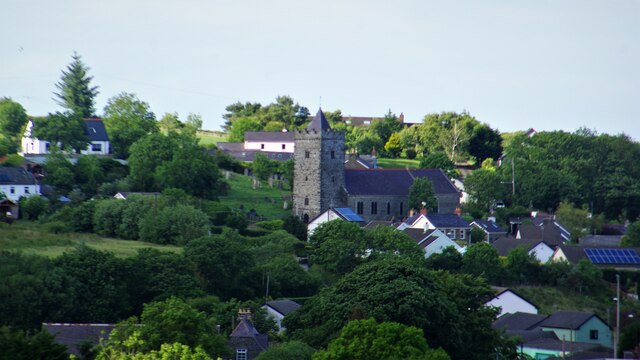
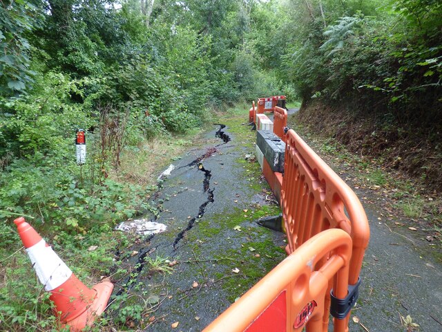
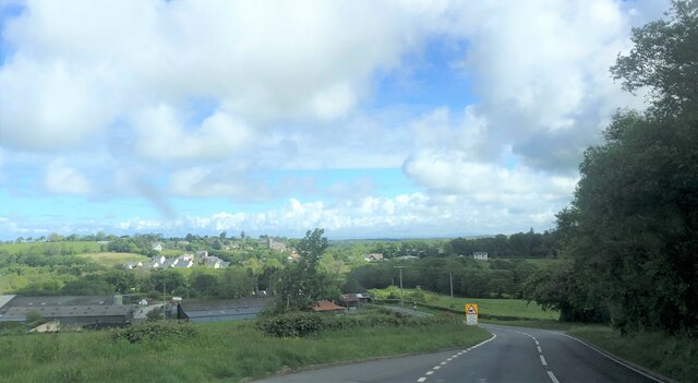
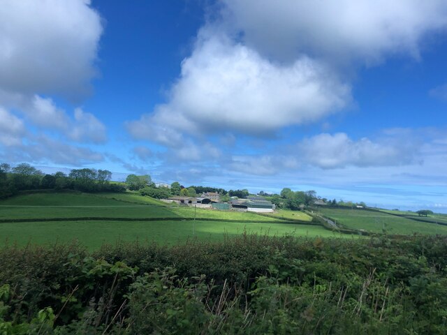
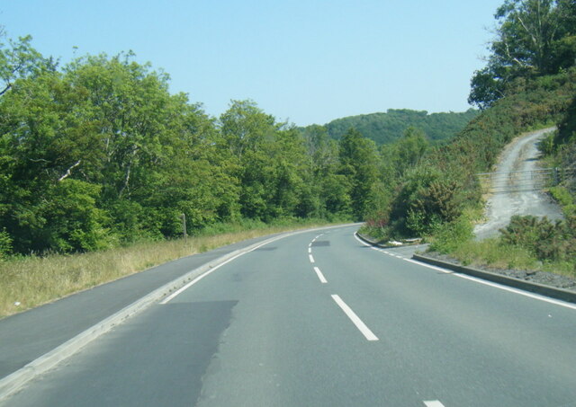
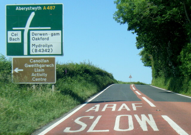
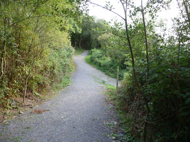
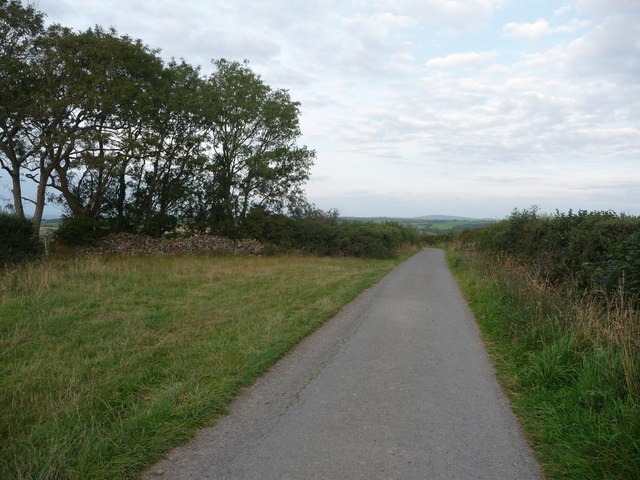
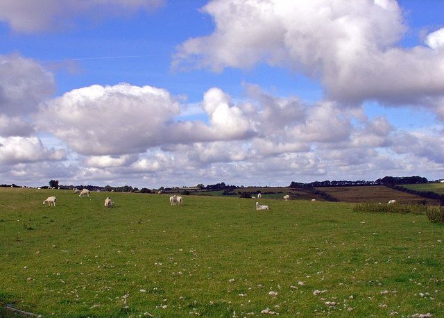
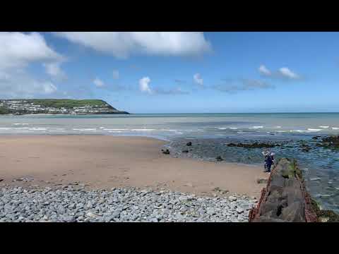
Allt y Wern is a picturesque woodland located in the county of Cardiganshire, Wales. Covering an area of approximately 100 hectares, it is known for its diverse range of trees and vibrant wildlife. The woodland is situated on the southern slopes of the Cambrian Mountains, offering breathtaking views of the surrounding countryside.

The forest is predominantly made up of native broadleaf trees such as oak, beech, and birch, creating a rich and varied habitat for various species. The extensive tree cover provides a haven for a wide array of bird species, including woodpeckers, thrushes, and owls, making it a popular destination for birdwatchers.

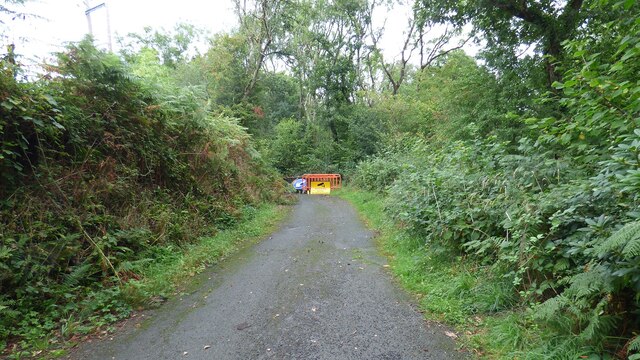
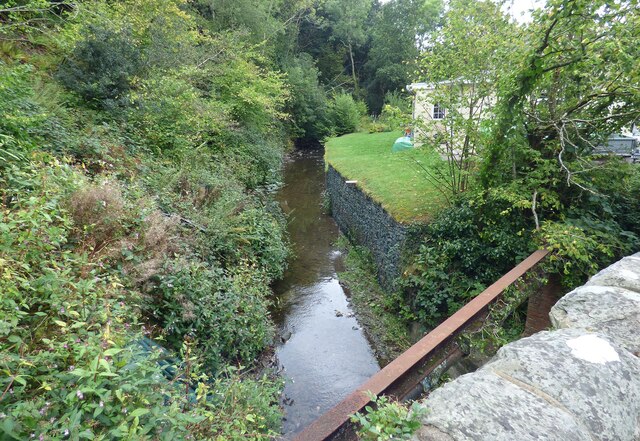
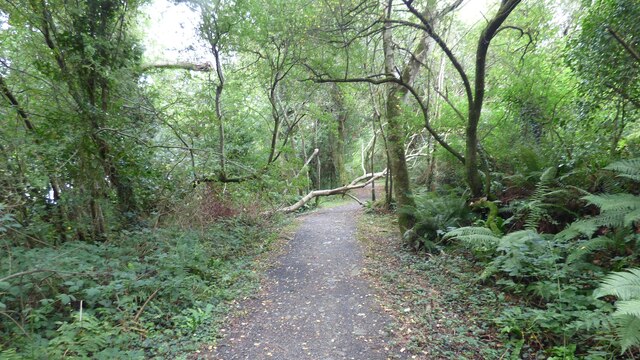
Allt y Wern also boasts a network of well-maintained walking trails, offering visitors the opportunity to explore the woodland's natural beauty. These trails wind through the forest, allowing visitors to immerse themselves in the tranquility of nature and discover its hidden treasures. Along the way, visitors may encounter small streams, wildflowers, and perhaps even glimpse some of the resident wildlife.

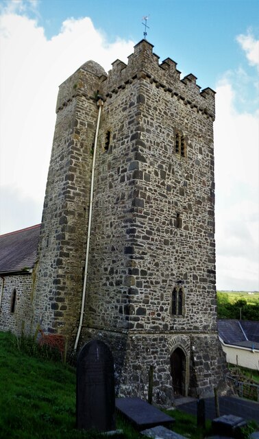
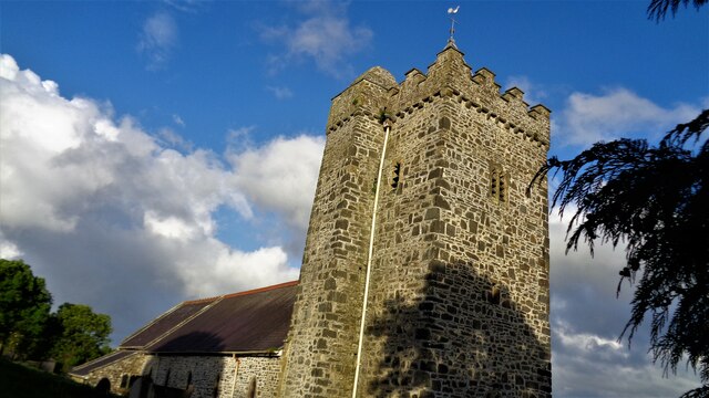
In addition to its natural wonders, Allt y Wern is also a site of historical significance. The remains of an ancient hill fort can be found within the woodland, dating back to the Iron Age. The fort provides a fascinating glimpse into the region's rich history and offers visitors a chance to step back in time.

Overall, Allt y Wern is a captivating woodland that offers a perfect blend of natural beauty, wildlife, and historical interest. It provides a peaceful retreat for nature lovers and a delightful escape from the hustle and bustle of everyday life.

If you have any feedback on the listing, please let us know in the comments section below.

Allt y Wern Images

Images are sourced within 2km of 52.200035/-4.3247797 or Grid Reference SN4158. Thanks to Geograph Open Source API. All images are credited.

Church of St David Panorama Viewed from a lay-by on the A487
Church of St David Panorama
Viewed from a lay-by on the A487
Church of St David The west tower with the staircase tower
Church of St David
The west tower with the staircase tower
Church of St David The church is cut into the hillside so very difficult to photograph. Under the bell tower is a good inscribed cross grave stone (or marker)
Church of St David
The church is cut into the hillside so very difficult to photograph. Under the bell tower is a good inscribed cross grave stone (or marker)
Closed Road Only walkers can pass.
Closed Road
Only walkers can pass.
Road Subsidence This road appears to be sliding down the hill.
Road Subsidence
This road appears to be sliding down the hill.
Afon Llethi at Gilfachreda
Ceredigion Coast Path A tree fallen across the path at this point.
Ceredigion Coast Path
A tree fallen across the path at this point.
St David's Church <span class="nowrap"><a title="https://www.dyfedarchaeology.org.uk/wp/discovery/projects/churches/st-david-llanarth-ceredigion/" rel="nofollow ugc noopener" href="https://www.dyfedarchaeology.org.uk/wp/discovery/projects/churches/st-david-llanarth-ceredigion/">Link</a><img style="margin-left:2px;" alt="External link" title="External link - shift click to open in new window" src="https://s1.geograph.org.uk/img/external.png" width="10" height="10"/></span>
St David's Church
A487 approaching Llanarth
Sun shining on Castell-y-Geifr farm
B4342 near Cefn Garsi
A487 north of Llanarth
B4342 in Llanarth
B4342 in Llanarth
Part of Little Quay Bay and Cei-bach beach Looking north up the coast of Cardigan Bay over this isolated and quiet beach with its storm defences to prevent erosion of the sands and foreshore.
Part of Little Quay Bay and Cei-bach beach
Looking north up the coast of Cardigan Bay over this isolated and quiet beach with its storm defences to prevent erosion of the sands and foreshore.
On Cei-bach Beach Looking westwards towards the headland and the New Quay headland beyond.
On Cei-bach Beach
Looking westwards towards the headland and the New Quay headland beyond.
On Cei-bach beach, looking westwards An August evening beside the sea, who would want to be anywhere else?
On Cei-bach beach, looking westwards
An August evening beside the sea, who would want to be anywhere else?
Junction of paths above the Ceredigion coast Paths contour along the steep hillside above Little Quay Bay and some run down to the beach and up to the fields above.
Junction of paths above the Ceredigion coast
Paths contour along the steep hillside above Little Quay Bay and some run down to the beach and up to the fields above.
Lane with a hardcore store beside it Rubble, pebbles, stone and building or demolition rubble is piled here, available for filling potholes in the nearby farms.
Lane with a hardcore store beside it
Rubble, pebbles, stone and building or demolition rubble is piled here, available for filling potholes in the nearby farms.
Show me another place!

Allt y Wern is located at Grid Ref: SN4158 (Lat: 52.200035, Lng: -4.3247797)

Unitary Authority: Ceredigion

Police Authority: Dyfed Powys

What 3 Words

///mutual.districts.recapture. Near Llanarth, Ceredigion

Related Wikis

Gilfachrheda

Gilfachrheda or Gilfachreda is a village in the community of Llanarth, Ceredigion, Wales, at the confluence of two small rivers, the Afon Gido and the...

Llaingarreglwyd

Llaingarreglwyd is a hamlet in the community of Llanarth, Ceredigion, Wales, which is 70 miles (112.6 km) from Cardiff and 185.3 miles (298.1 km) from...

Llanarth, Ceredigion

Llanarth is both a small village and a community in Ceredigion, Wales. It is on the A487 road and is about 3 miles (4.8 km) from both Aberaeron and New...

Llanllwchaiarn, Ceredigion

Llanllwchaiarn is a community in Ceredigion, Wales, surrounding New Quay and had a population of 848 at the 2011 UK census. The community council uses...

Related Videos

Pencnwc and views toward New Quay

Flying over Pencnwc holiday park and looking down toward New Quay beach.

Walking to new quay Wales

We walked on the beach to new quay come and visit. From 1st June to 30th September dogs are not allowed go on the beach.

Quay West Haven New Quay Wales August 2021

Our week away at Haven Quay West in New Quay Wales.

Nearby Amenities

Located within 500m of 52.200035,-4.3247797
Bus Stop
Kerb: raised
Shelter: yes
Lat/Long: 52.2040145/-4.3280645
Bus Stop
Kerb: raised
Naptan AtcoCode: 5230AWD71995
Naptan NaptanCode: cejatgt
Shelter: yes
Lat/Long: 52.2040472/-4.327687
Bus Stop
Kerb: raised
Shelter: yes
Source: waypoint
Verified: no
Lat/Long: 52.2012112/-4.319998
Telephone
Booth: KX100
Covered: booth
Lat/Long: 52.2040676/-4.3277975
Direction: 195
Generator Method: photovoltaic
Generator Output Electricity: yes
Generator Solar Modules: 12
Generator Source: solar
Generator Type: solar_photovoltaic_panel
Location: roof
Power: generator
Lat/Long: 52.2040147/-4.3263307
Direction: 195
Generator Method: photovoltaic
Generator Output Electricity: yes
Generator Solar Modules: 12
Generator Source: solar
Generator Type: solar_photovoltaic_panel
Location: roof
Power: generator
Lat/Long: 52.2040318/-4.3264357
The data included in this document is from www.openstreetmap.org. The data is made available under ODbL.

Have you been to Allt y Wern?

Leave your review of Allt y Wern below (or comments, questions and feedback).