Allt Gilwen
Wood, Forest in Carmarthenshire
Wales
Allt Gilwen
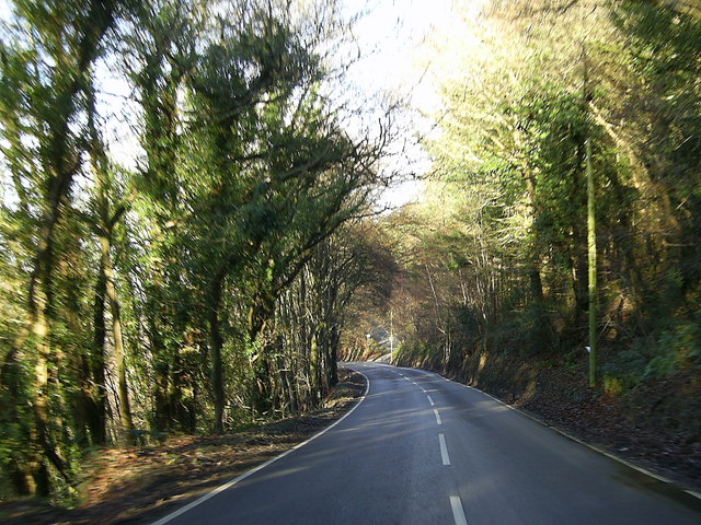
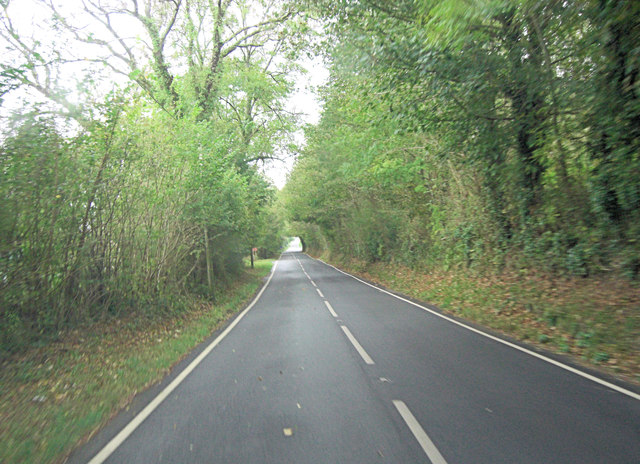
Allt Gilwen is a picturesque woodland area located in the county of Carmarthenshire, Wales. This charming forest covers an area of approximately 200 hectares and is nestled in the beautiful countryside, offering breathtaking views and a tranquil atmosphere.
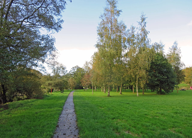
The woodland is predominantly composed of deciduous trees, such as oak, beech, and ash, creating a diverse and vibrant ecosystem. The forest floor is covered with a lush carpet of ferns, mosses, and wildflowers, providing an enchanting setting for nature lovers and hikers alike.
Allt Gilwen is home to a wide variety of wildlife, including deer, foxes, badgers, and numerous bird species. Birdwatchers will delight in spotting species such as woodpeckers, owls, and warblers among the treetops. The forest is also a haven for butterflies, with several species fluttering through the sun-dappled clearings.
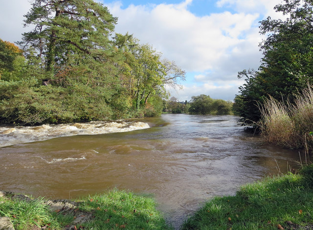
Visitors to Allt Gilwen can explore the forest through a network of well-maintained trails, offering opportunities for leisurely walks, jogging, or cycling. These trails meander through the woodland, leading visitors along babbling brooks, past hidden ponds, and through peaceful glades. The forest also features designated picnic areas, where visitors can relax and enjoy the serenity of their surroundings.
Allt Gilwen is a popular destination for nature enthusiasts looking to escape the hustle and bustle of daily life. Its natural beauty, diverse wildlife, and well-maintained trails make it an ideal location for outdoor activities and a peaceful retreat for those seeking solace in nature.
If you have any feedback on the listing, please let us know in the comments section below.
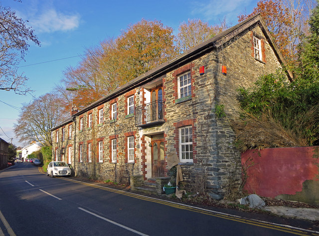
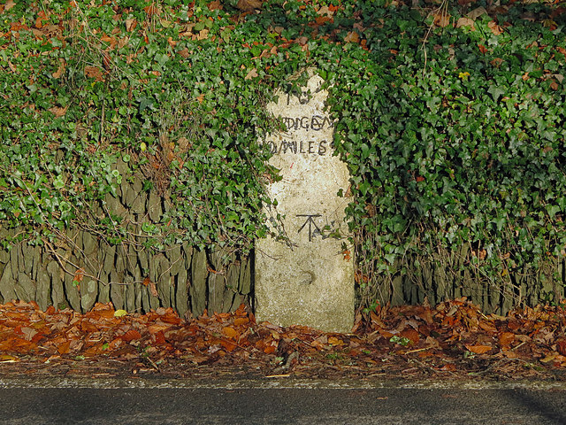
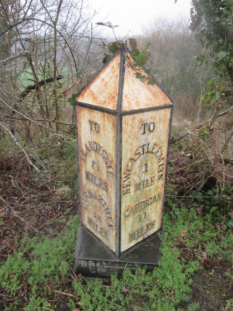
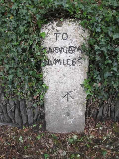
Allt Gilwen Images
Images are sourced within 2km of 52.040754/-4.435961 or Grid Reference SN3340. Thanks to Geograph Open Source API. All images are credited.


Allt Gilwen is located at Grid Ref: SN3340 (Lat: 52.040754, Lng: -4.435961)
Unitary Authority: Carmarthenshire
Police Authority: Dyfed Powys
What 3 Words
///trial.rams.overruns. Near Newcastle Emlyn, Ceredigion
Nearby Locations
Related Wikis

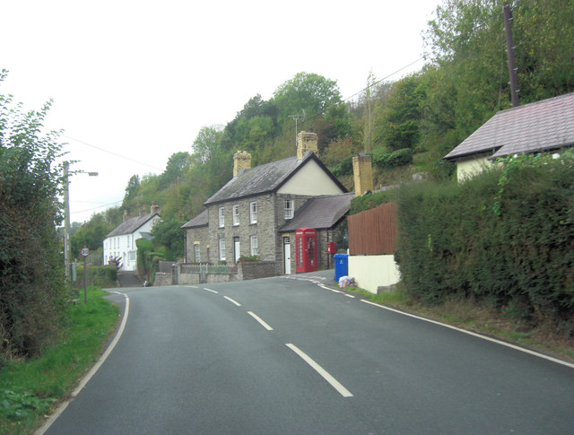
Llandyfriog
Llandyfriog is a community in Ceredigion, Wales. It includes the Adpar part of Newcastle Emlyn and the villages, Bangor Teifi, Trebedw, Bryndioddef-isaf...
Emlyn
Emlyn was one of the seven cantrefi of Dyfed, an ancient district of Wales, which became part of Deheubarth in around 950. It consisted of the northern...

Berthyfedwen
Berthyfedwen is a small village in the community of Llandyfriog, Ceredigion, Wales, which is 65.8 miles (105.9 km) from Cardiff and 187.1 miles (301 km...
Aber-arad
Aber-arad is a village in Carmarthenshire, Wales. Aber-Arad lies less than one mile to the east of Newcastle Emlyn. In 1870–72, John Marius Wilson in...

Teifi Valley Railway
The Teifi Valley Railway (Welsh: Rheilffordd Dyffryn Teifi) is a 2 ft (610 mm) narrow gauge railway occupying a section of the former standard gauge Great...
Llandyfriog transmitting station
The Llandyfriog transmitting station is a broadcasting and telecommunications facility located on high ground several kilometres east of the town of Newcastle...
Newcastle Emlyn railway station
Newcastle Emlyn was a railway station terminus in the town of Newcastle Emlyn, West Wales, on the proposed broad gauge Teifi Valley line of the Carmarthen...

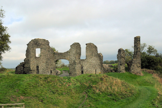
Newcastle Emlyn Castle
Newcastle Emlyn Castle (Welsh: Castell Newydd Emlyn) is a ruined castle in the market town of Newcastle Emlyn in Carmarthenshire, Wales. It is strategically...
Nearby Amenities
Located within 500m of 52.040754,-4.435961Have you been to Allt Gilwen?
Leave your review of Allt Gilwen below (or comments, questions and feedback).