Aberhalen
Settlement in Carmarthenshire
Wales
Aberhalen

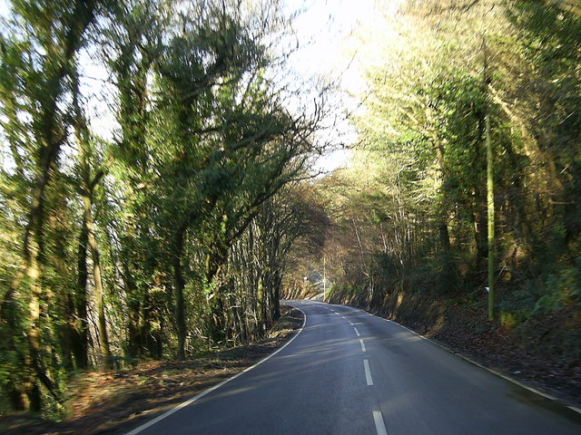
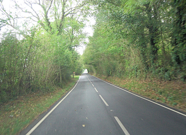
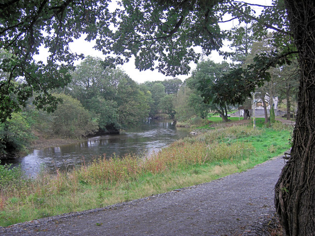
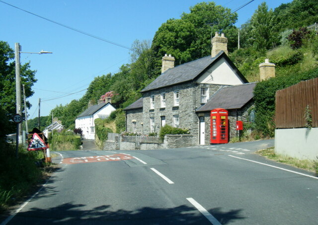
Aberhalen is a charming village located in the county of Carmarthenshire, Wales. Nestled in the picturesque countryside, it is surrounded by rolling hills, lush green fields, and meandering rivers. The village is situated about 10 miles northeast of the county town of Carmarthen, making it easily accessible for both residents and visitors.
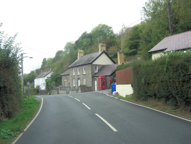
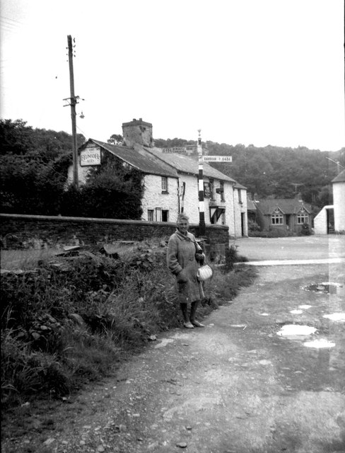
With a population of approximately 500 people, Aberhalen has a close-knit community that takes pride in its rich history and cultural heritage. The village dates back to the medieval period and boasts several historic buildings, including St. Mary's Church, which is known for its beautiful architecture and stained glass windows.
Agriculture plays a significant role in Aberhalen's economy, with many residents involved in farming and livestock rearing. The fertile land surrounding the village provides ideal conditions for growing crops, particularly grains and vegetables.
While Aberhalen may be small in size, it offers a range of amenities to cater to the needs of its residents. These include a primary school, a village hall, a pub, and a few local shops. For further amenities and services, residents often travel to nearby towns or the county capital.
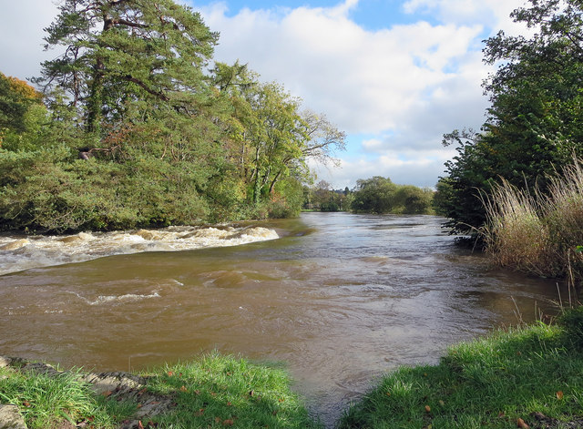
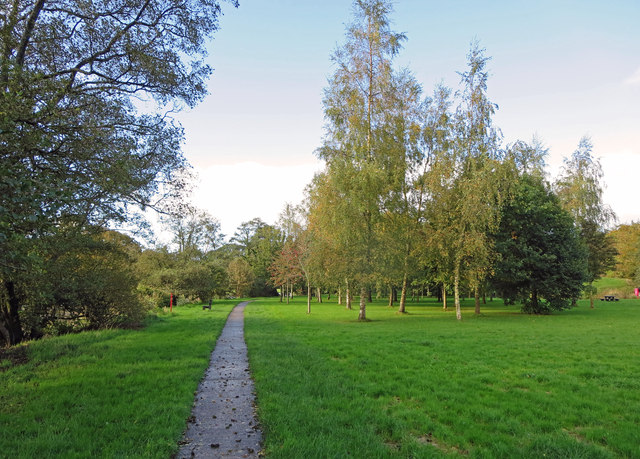
The village's idyllic location also attracts nature enthusiasts and outdoor lovers. The surrounding countryside offers opportunities for scenic walks, hiking, and birdwatching, allowing visitors to immerse themselves in the area's natural beauty.
In conclusion, Aberhalen is a charming village in Carmarthenshire that showcases the beauty of rural Wales. Its rich history, strong sense of community, and picturesque surroundings make it an appealing destination for both residents and visitors.
If you have any feedback on the listing, please let us know in the comments section below.
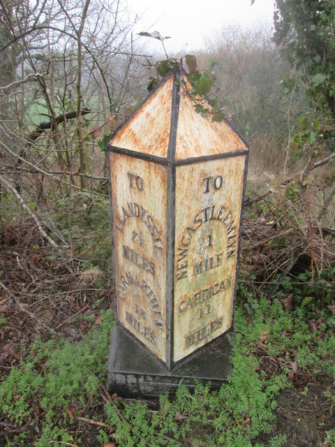
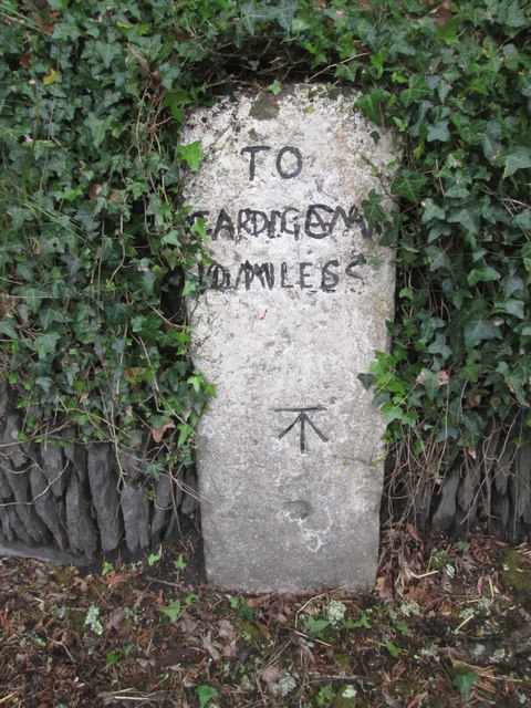
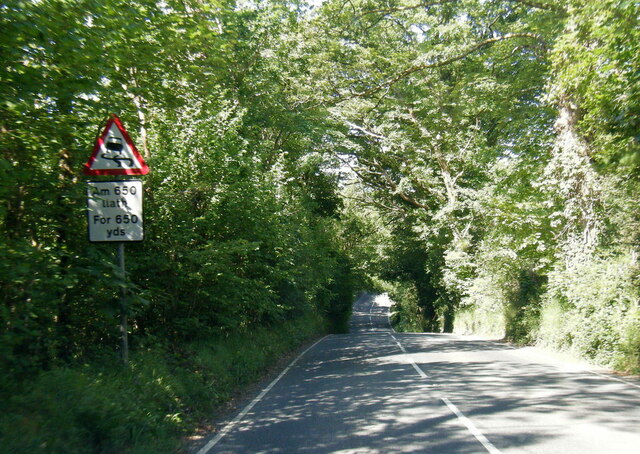
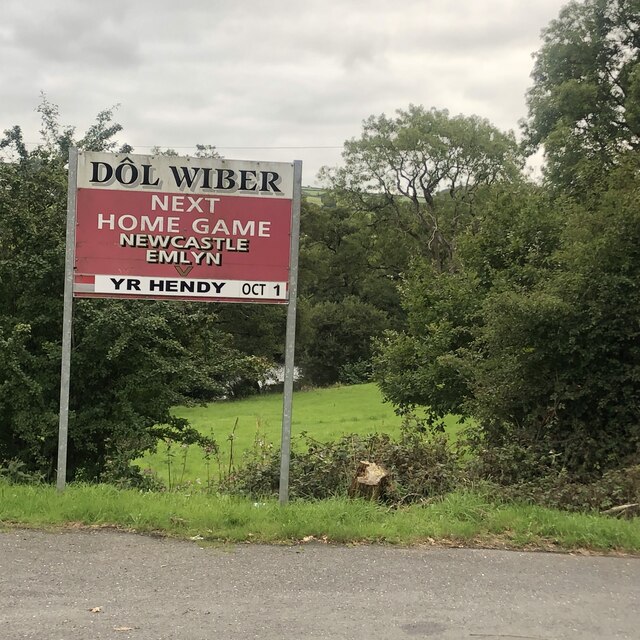
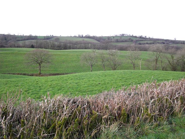
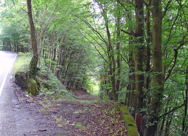
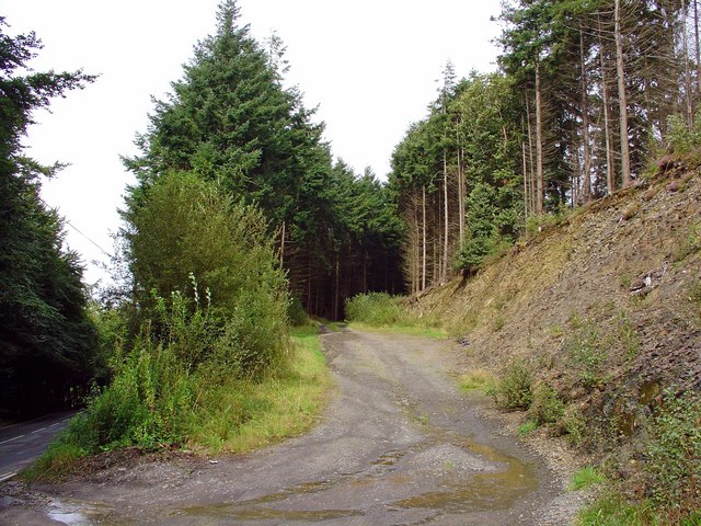
Aberhalen Images
Images are sourced within 2km of 52.038596/-4.433954 or Grid Reference SN3340. Thanks to Geograph Open Source API. All images are credited.

Aberhalen is located at Grid Ref: SN3340 (Lat: 52.038596, Lng: -4.433954)
Unitary Authority: Carmarthenshire
Police Authority: Dyfed Powys
What 3 Words
///blushed.stated.stencil. Near Newcastle Emlyn, Ceredigion
Nearby Locations
Related Wikis
Emlyn
Emlyn was one of the seven cantrefi of Dyfed, an ancient district of Wales, which became part of Deheubarth in around 950. It consisted of the northern...

Llandyfriog
Llandyfriog is a community in Ceredigion, Wales. It includes the Adpar part of Newcastle Emlyn and the villages, Bangor Teifi, Trebedw, Bryndioddef-isaf...

Berthyfedwen
Berthyfedwen is a small village in the community of Llandyfriog, Ceredigion, Wales, which is 65.8 miles (105.9 km) from Cardiff and 187.1 miles (301 km...

Teifi Valley Railway
The Teifi Valley Railway (Welsh: Rheilffordd Dyffryn Teifi) is a 2 ft (610 mm) narrow gauge railway occupying a section of the former standard gauge Great...
Aber-arad
Aber-arad is a village in Carmarthenshire, Wales. Aber-Arad lies less than one mile to the east of Newcastle Emlyn. In 1870–72, John Marius Wilson in...
Llandyfriog transmitting station
The Llandyfriog transmitting station is a broadcasting and telecommunications facility located on high ground several kilometres east of the town of Newcastle...
Newcastle Emlyn railway station
Newcastle Emlyn was a railway station terminus in the town of Newcastle Emlyn, West Wales, on the proposed broad gauge Teifi Valley line of the Carmarthen...

Newcastle Emlyn Castle
Newcastle Emlyn Castle (Welsh: Castell Newydd Emlyn) is a ruined castle in the market town of Newcastle Emlyn in Carmarthenshire, Wales. It is strategically...
Nearby Amenities
Located within 500m of 52.038596,-4.433954Have you been to Aberhalen?
Leave your review of Aberhalen below (or comments, questions and feedback).