Abergynolwyn
Settlement in Merionethshire
Wales
Abergynolwyn
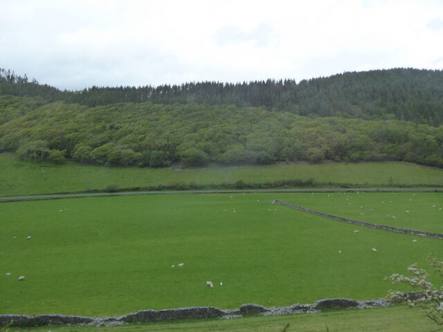
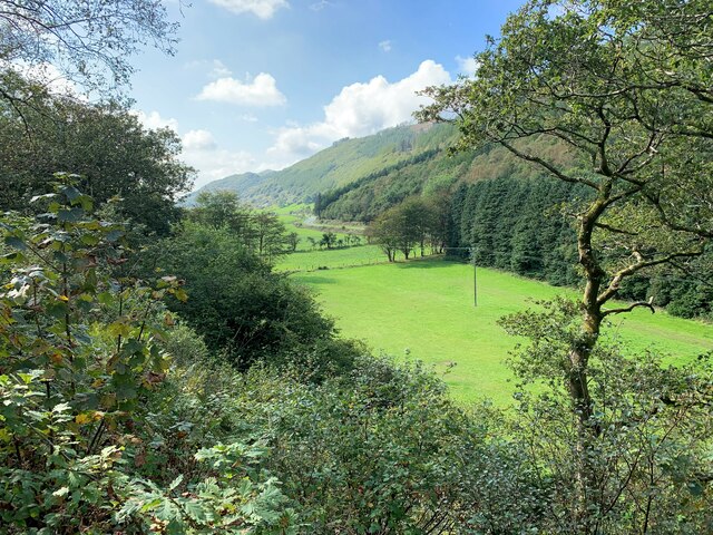
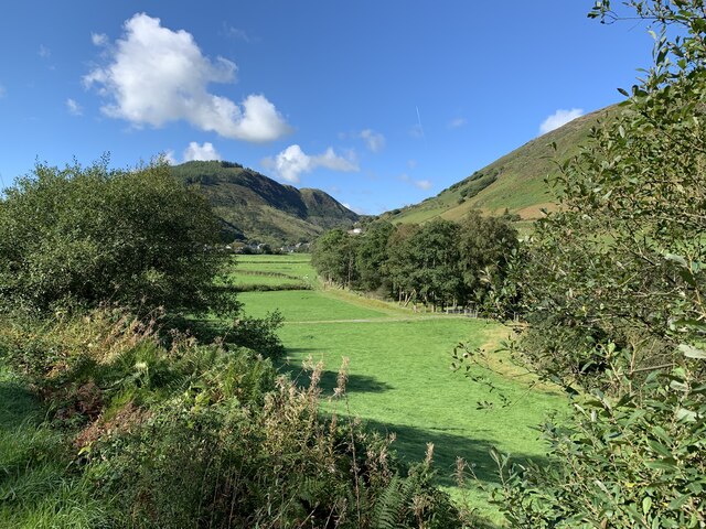
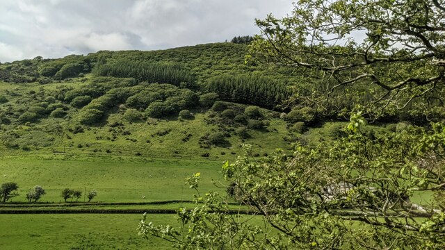
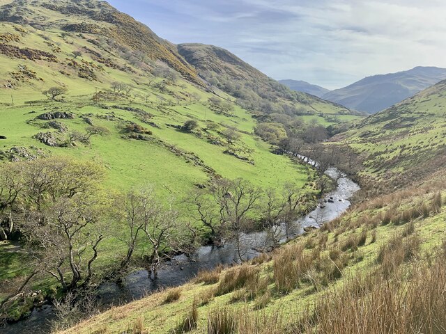
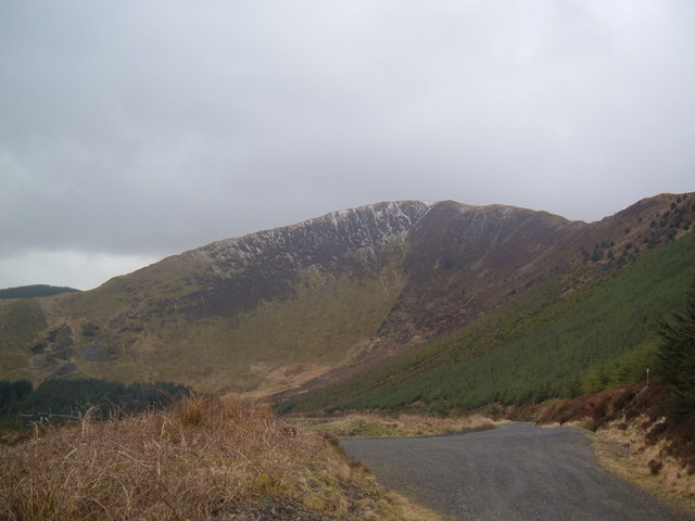
Abergynolwyn is a small village located in the county of Merionethshire, Wales. Situated in the southern part of Snowdonia National Park, it is surrounded by breathtaking natural beauty. The village is nestled at the foot of the Cader Idris mountain range, providing a stunning backdrop for residents and visitors alike.
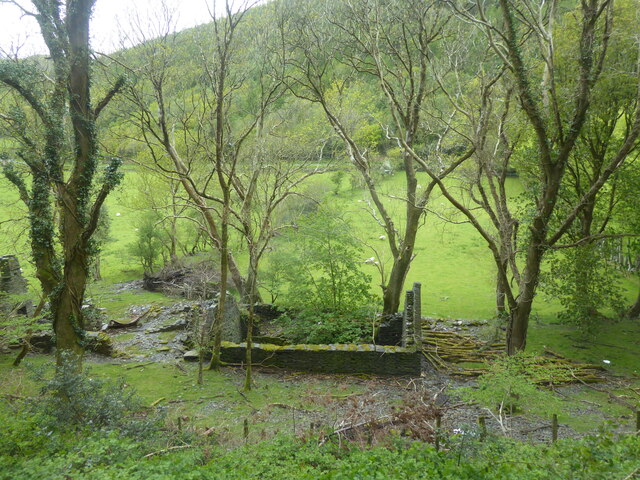
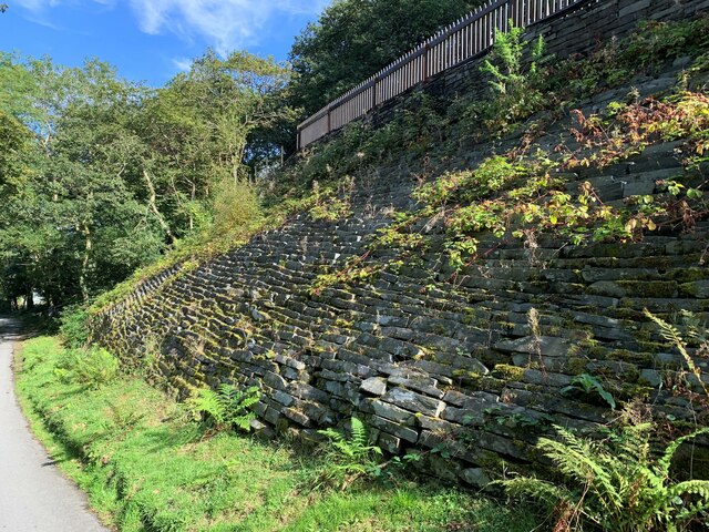
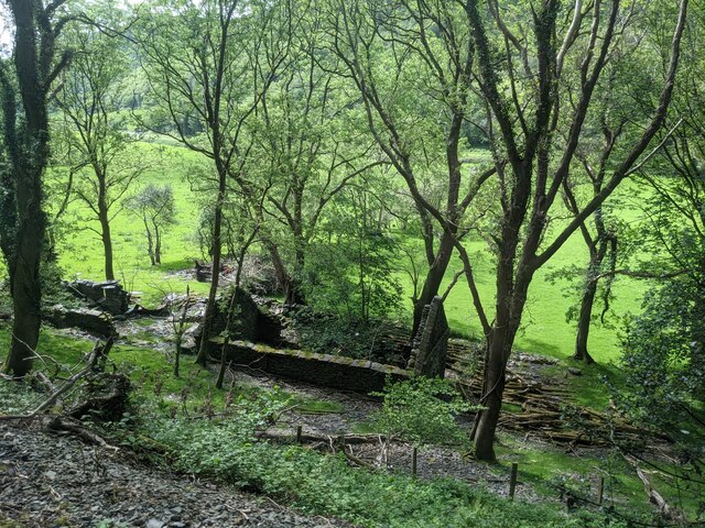
Abergynolwyn has a rich history that dates back to the 19th century when it was a thriving slate mining community. The remnants of its industrial past can still be seen in the form of old quarries and mine buildings scattered throughout the area. Today, the village is known for its picturesque charm and tranquil atmosphere.
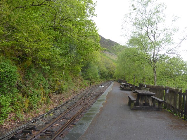
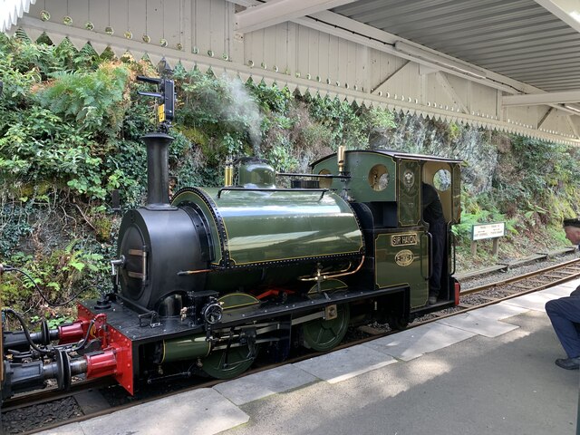
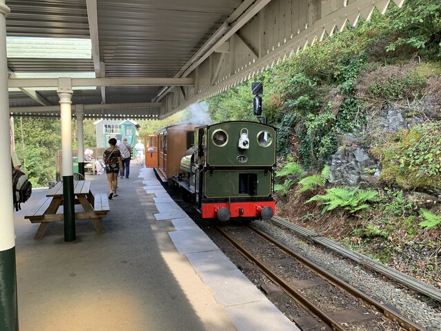
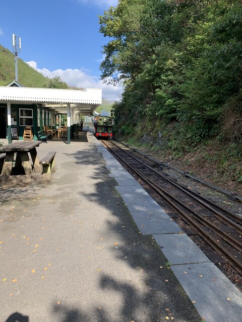
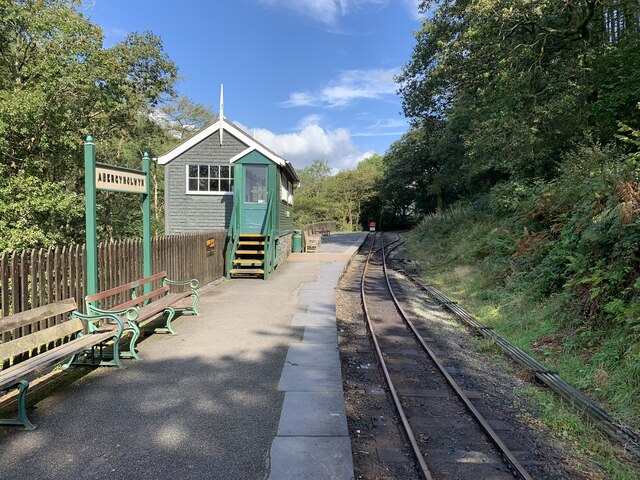
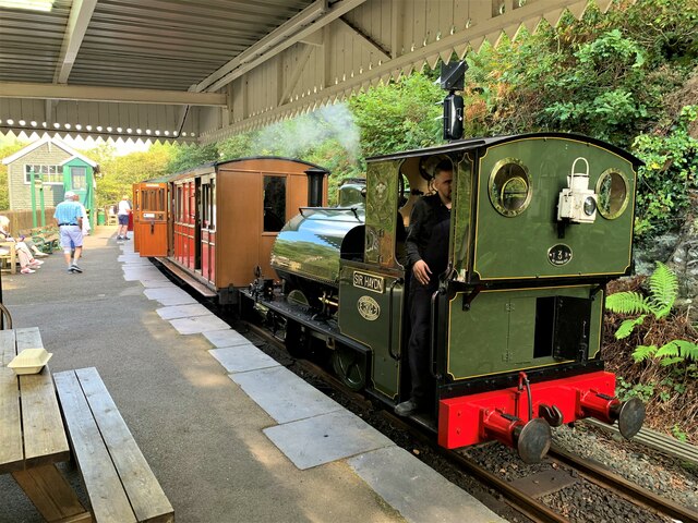
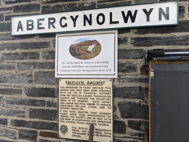
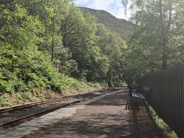
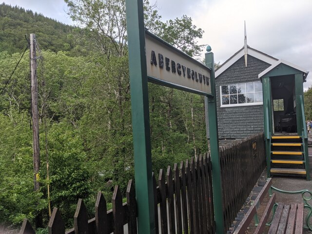
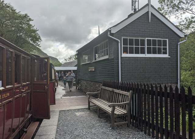
Despite its small size, Abergynolwyn offers a range of amenities to cater to both locals and tourists. The village boasts a pub, a tearoom, and a community-run railway station. The Talyllyn Railway, a historic narrow-gauge steam railway, is a major attraction in the village and draws visitors from near and far.
Outdoor enthusiasts are drawn to Abergynolwyn for its excellent hiking and cycling opportunities. The nearby Cader Idris mountain offers challenging trails with stunning panoramic views. The village is also close to several beautiful beaches, including Tywyn and Aberdyfi, making it an ideal destination for those who enjoy coastal activities.
Abergynolwyn is a close-knit community that prides itself on its friendly and welcoming atmosphere. It is a place where residents and visitors can enjoy the tranquility of rural Wales while being surrounded by magnificent natural landscapes.
If you have any feedback on the listing, please let us know in the comments section below.
Abergynolwyn Images
Images are sourced within 2km of 52.644332/-3.952886 or Grid Reference SH6706. Thanks to Geograph Open Source API. All images are credited.
Abergynolwyn is located at Grid Ref: SH6706 (Lat: 52.644332, Lng: -3.952886)
Unitary Authority: Gwynedd
Police Authority: North Wales
What 3 Words
///fingernails.dressing.engulfing. Near Corris, Gwynedd
Nearby Locations
Related Wikis

Abergynolwyn
Abergynolwyn (English: Mouth of the River with a Whirlpool) is a village in southern Gwynedd, Wales, located at the confluence of the Nant Gwernol and...

Nant Gwernol railway station
Nant Gwernol railway station is the eastern terminus of the Talyllyn Railway near Abergynolwyn, Gwynedd in mid-Wales. It is 7 miles, 28 chains (11.83...
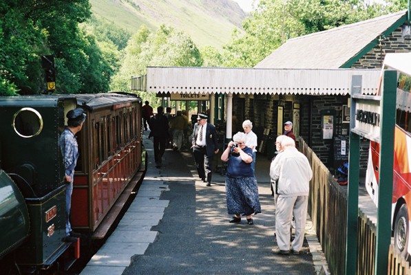
Abergynolwyn railway station
Abergynolwyn railway station is a station on the Talyllyn Railway near Abergynolwyn, Gwynedd, in Mid-Wales. It is 6.55 miles (10.54 km) from Tywyn Wharf...

Bryn Eglwys quarry
Bryn Eglwys quarry was a slate quarry and mine near Abergynolwyn, in Merionethshire (now part of Gwynedd), Wales. More than 300 men worked at the site...
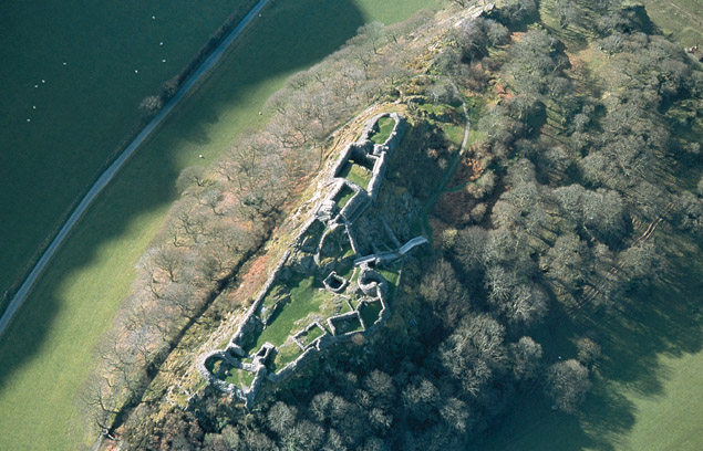
Castell y Bere
Castell y Bere is a Welsh castle near Llanfihangel-y-pennant in Gwynedd, Wales. Constructed by Llywelyn the Great in the 1220s, the stone castle was intended...

Llanfihangel-y-Pennant
Llanfihangel-y-Pennant is a hamlet and wider, very sparsely populated community (which includes Abergynolwyn and Tal-y-llyn) in the Meirionnydd area of...

Tarrenhendre
Tarrenhendre is a mountain in Snowdonia, North Wales. It is one of the Marilyns in the Cadair Idris group. Lying to the south of Cadair Idris, it and...
Garnedd-Wen Formation
The Garnedd-Wen Formation (also known as the Garnedd-Wen Beds) is an Ordovician lithostratigraphic formation (a sequence of rock strata) in Mid Wales....
Nearby Amenities
Located within 500m of 52.644332,-3.952886Have you been to Abergynolwyn?
Leave your review of Abergynolwyn below (or comments, questions and feedback).