Abergwyngregyn
Settlement in Caernarfonshire
Wales
Abergwyngregyn
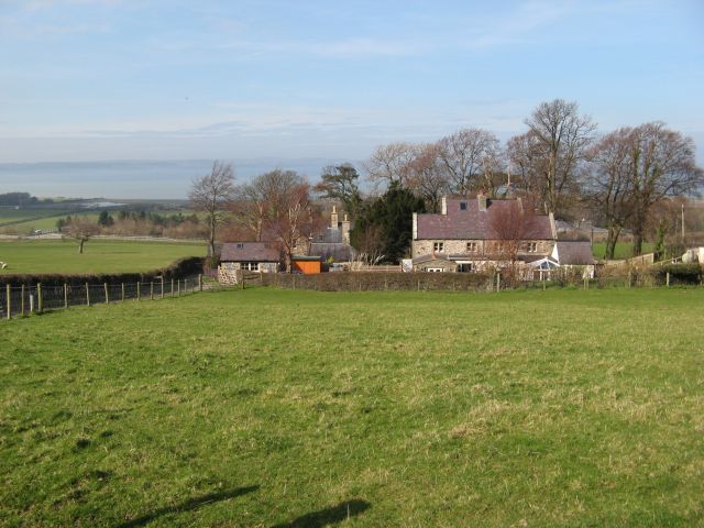
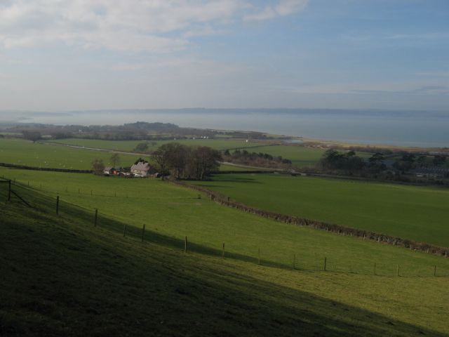
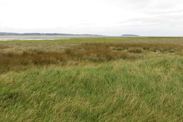
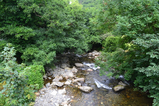
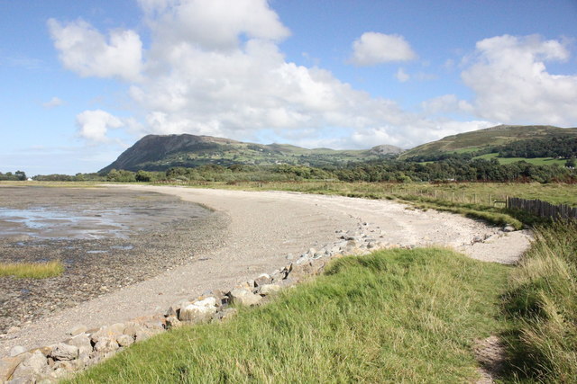
Abergwyngregyn is a small village located in Caernarfonshire, Wales. Situated at the mouth of the Aber River, it is nestled between the Snowdonia National Park and the coast of the Irish Sea. The village is approximately 10 miles east of the town of Bangor and 5 miles west of the historic town of Conwy.
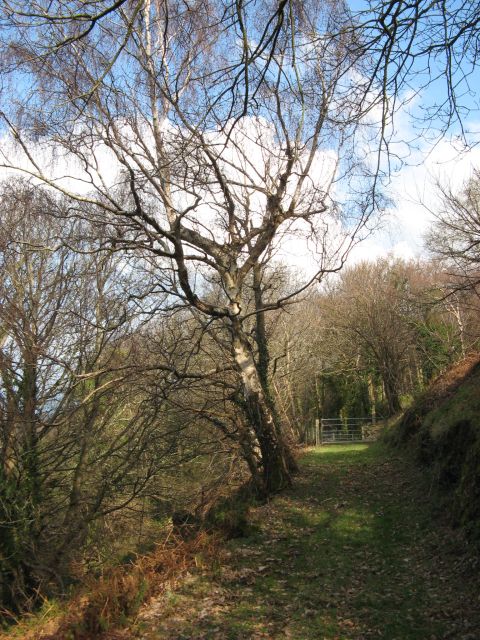
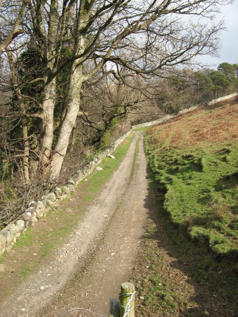
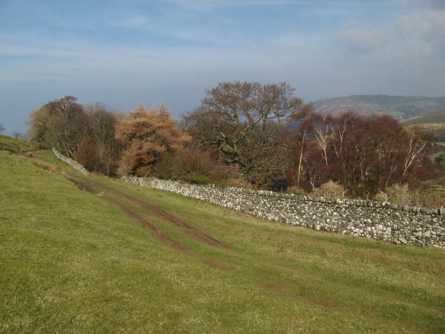
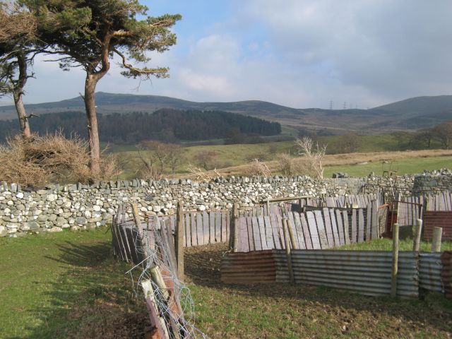
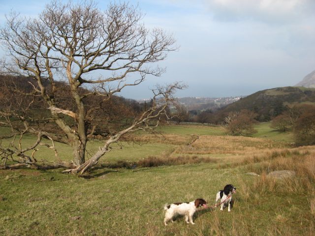
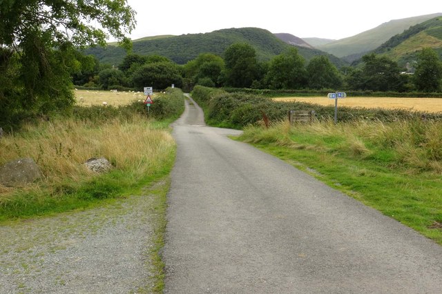
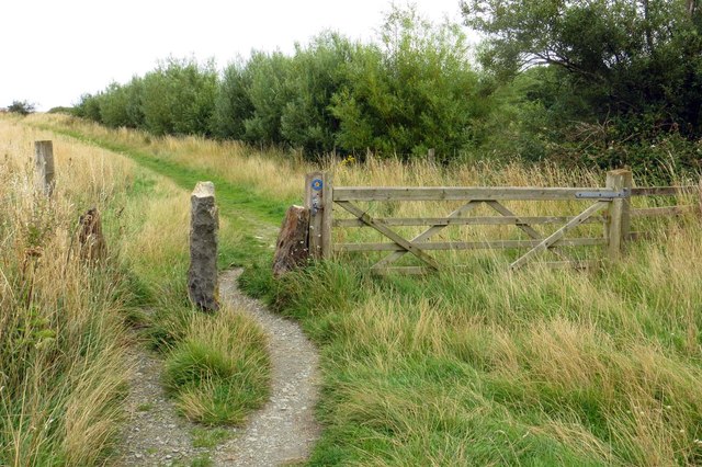
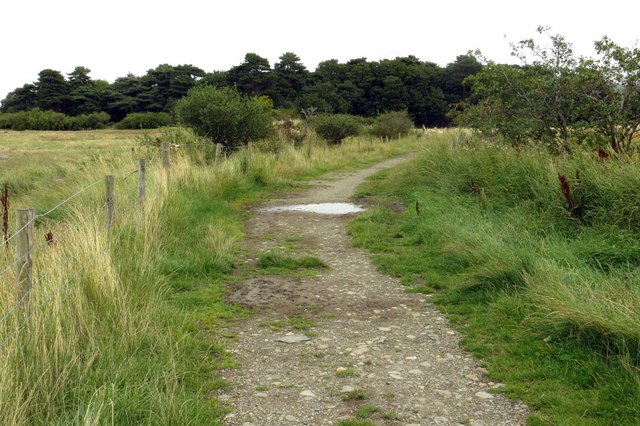
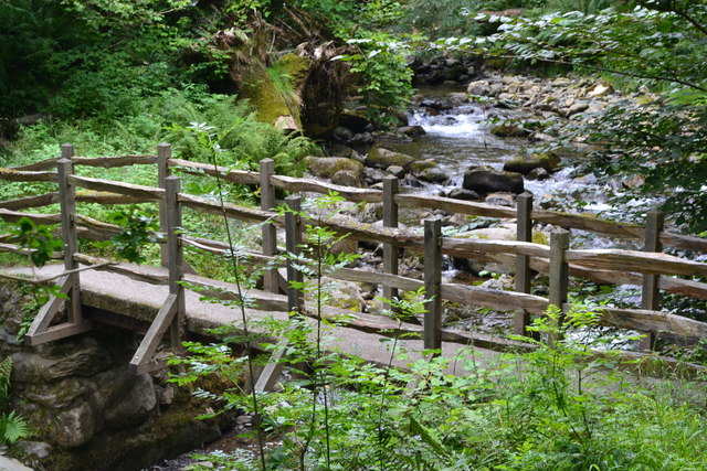
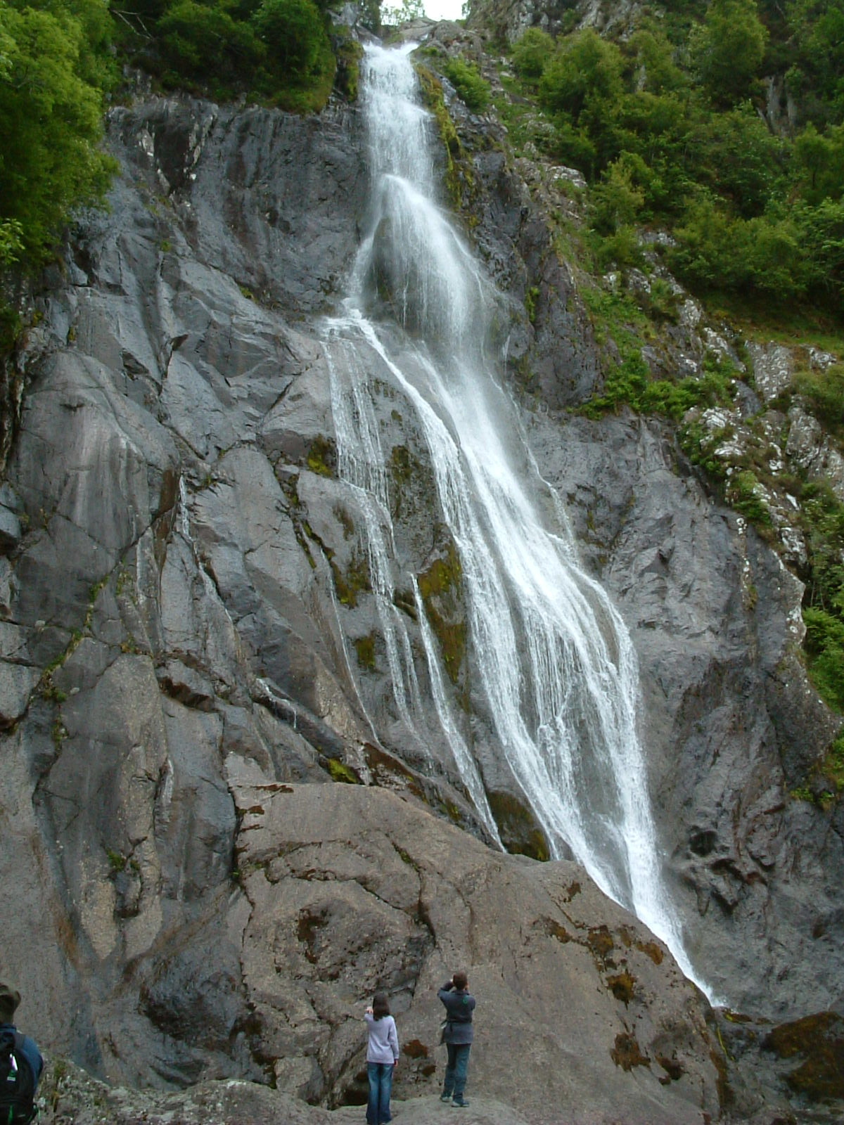
Abergwyngregyn is known for its stunning natural beauty and rich history. The village is surrounded by picturesque landscapes, with the towering peaks of the Snowdonia Mountains to the south and the rugged coastline to the north. It offers breathtaking views and numerous opportunities for outdoor activities such as hiking, cycling, and birdwatching.
Historically, Abergwyngregyn was an important settlement. It was the location of a medieval royal court and the birthplace of Llywelyn the Great, a significant figure in Welsh history. The remains of a medieval fortress, Gwrych Castle, can still be seen in the village. Abergwyngregyn also boasts a well-preserved watermill, which is believed to be one of the oldest in Wales, dating back to the 13th century.
Today, Abergwyngregyn is a quiet and peaceful village with a close-knit community. It offers a range of amenities for residents and visitors, including a village hall, a pub, and a tearoom. The village is a popular destination for tourists seeking a tranquil getaway or outdoor adventure. With its stunning natural surroundings and historical significance, Abergwyngregyn continues to attract visitors from near and far.
If you have any feedback on the listing, please let us know in the comments section below.
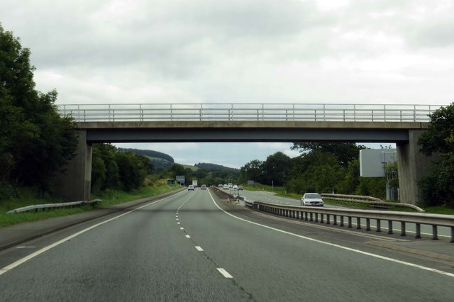
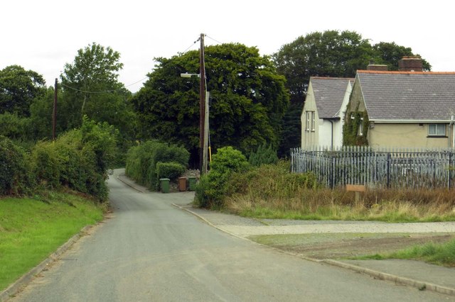
Abergwyngregyn Images
Images are sourced within 2km of 53.233949/-4.0152231 or Grid Reference SH6572. Thanks to Geograph Open Source API. All images are credited.
Abergwyngregyn is located at Grid Ref: SH6572 (Lat: 53.233949, Lng: -4.0152231)
Unitary Authority: Gwynedd
Police Authority: North Wales
Also known as: Aber
What 3 Words
///corporate.frail.angle. Near Aber, Gwynedd
Nearby Locations
Related Wikis
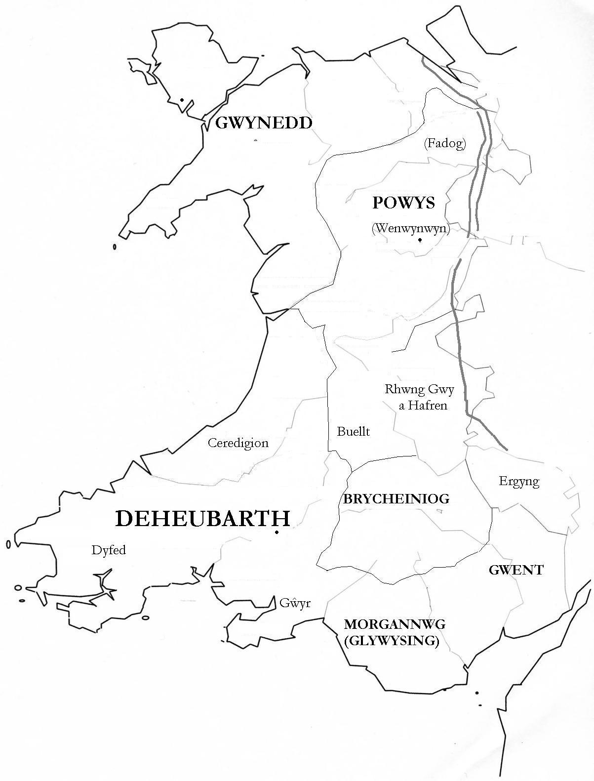
Kingdom of Ceredigion
The Kingdom of Ceredigion was one of several Welsh kingdoms that emerged in post-Roman Britain in the mid-5th century. Cardigan Bay to the west and the...

Powys Wenwynwyn
Powys Wenwynwyn or Powys Cyfeiliog was a Welsh kingdom which existed during the high Middle Ages. The realm was the southern portion of the former princely...
Kingdom of Powys
The Kingdom of Powys (Welsh: Teyrnas Powys; Latin: Regnum Poysiae) was a Welsh successor state, petty kingdom and principality that emerged during the...
Seisyllwg
Seisyllwg (Welsh: [sɛiˈsəɬʊɡ]) was a petty kingdom of medieval Wales. It is unclear when it emerged as a distinct unit, but according to later sources...
Glywysing
Glywysing was, from the sub-Roman period to the Early Middle Ages, a petty kingdom in south-east Wales. Its people were descended from the Iron Age tribe...

Pen y Bryn
Pen y Bryn is a two-storey manor house, in Abergwyngregyn, Gwynedd, in north-west Wales, adjacent to the A55, five miles east of Bangor and eight miles...
Abergwyngregyn
Abergwyngregyn (Welsh: [abɛrɡwɨnˈɡrɛɡɨn]) is a village and community of historical note in Gwynedd, a county and principal area in Wales. Under its historic...
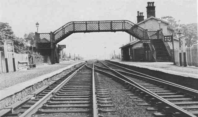
Aber railway station (Gwynedd)
Aber railway station was a railway station on the North Wales Coast Line in the Welsh county of Gwynedd. Although trains still pass on the main line the...
Nearby Amenities
Located within 500m of 53.233949,-4.0152231Have you been to Abergwyngregyn?
Leave your review of Abergwyngregyn below (or comments, questions and feedback).