Pentre-cagal
Settlement in Carmarthenshire
Wales
Pentre-cagal

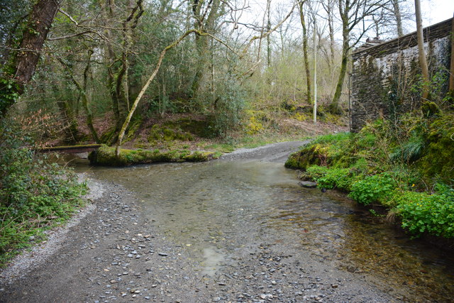
Pentre-cagal is a small village located in Carmarthenshire, a county in southwest Wales. Situated approximately 5 miles north of the town of Carmarthen, Pentre-cagal rests on the eastern bank of the River Tywi. The village is surrounded by picturesque countryside, with rolling hills and farmland dominating the landscape.
Pentre-cagal is known for its rural charm and tranquility, making it an ideal destination for those seeking a peaceful retreat. The village itself is relatively small, with a close-knit community that prides itself on its Welsh heritage and traditions. The local residents are friendly and welcoming, often organizing community events and gatherings to strengthen their bond.
Despite its size, Pentre-cagal offers a few amenities to its residents and visitors. There is a small convenience store that caters to the daily needs of the villagers, and a local pub where one can enjoy a pint of ale and engage in friendly conversation. Additionally, the nearby town of Carmarthen provides a wider range of services and facilities, including shops, restaurants, and entertainment options.
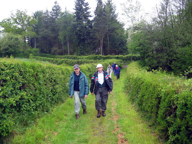
Nature lovers will find plenty to explore in and around Pentre-cagal. The area is dotted with walking trails, allowing visitors to immerse themselves in the stunning Welsh countryside. The River Tywi also offers opportunities for fishing and boating, attracting outdoor enthusiasts from afar.
In conclusion, Pentre-cagal is a charming village in Carmarthenshire that offers a peaceful retreat amidst beautiful natural surroundings. With its close-knit community and access to nearby amenities, it is a place that embraces the simplicity and beauty of rural Wales.
If you have any feedback on the listing, please let us know in the comments section below.
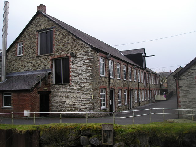
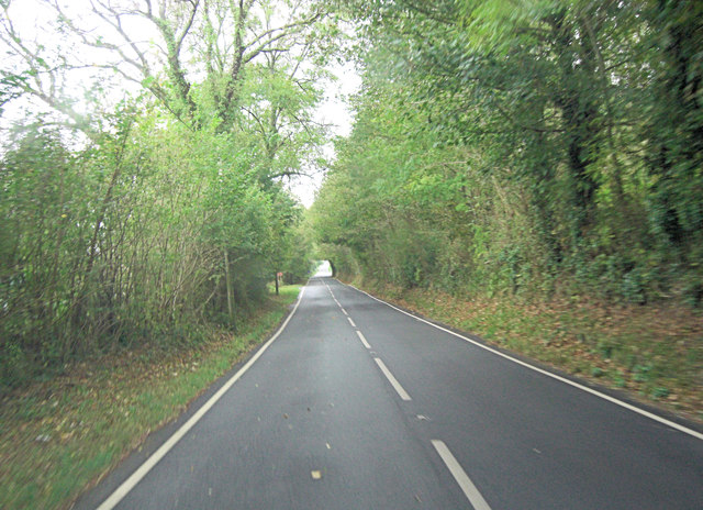
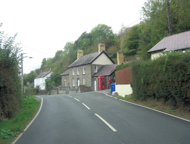
Pentre-cagal Images
Images are sourced within 2km of 52.035965/-4.422 or Grid Reference SN3340. Thanks to Geograph Open Source API. All images are credited.


Pentre-cagal is located at Grid Ref: SN3340 (Lat: 52.035965, Lng: -4.422)
Unitary Authority: Carmarthenshire
Police Authority: Dyfed Powys
Also known as: Pentrecagal
What 3 Words
///reliving.smirking.junior. Near Newcastle Emlyn, Ceredigion
Nearby Locations
Related Wikis

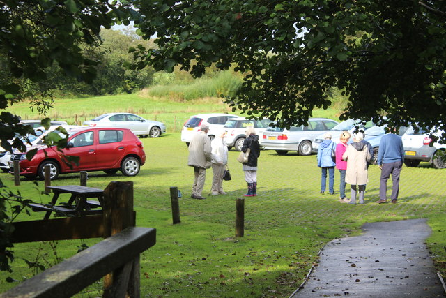
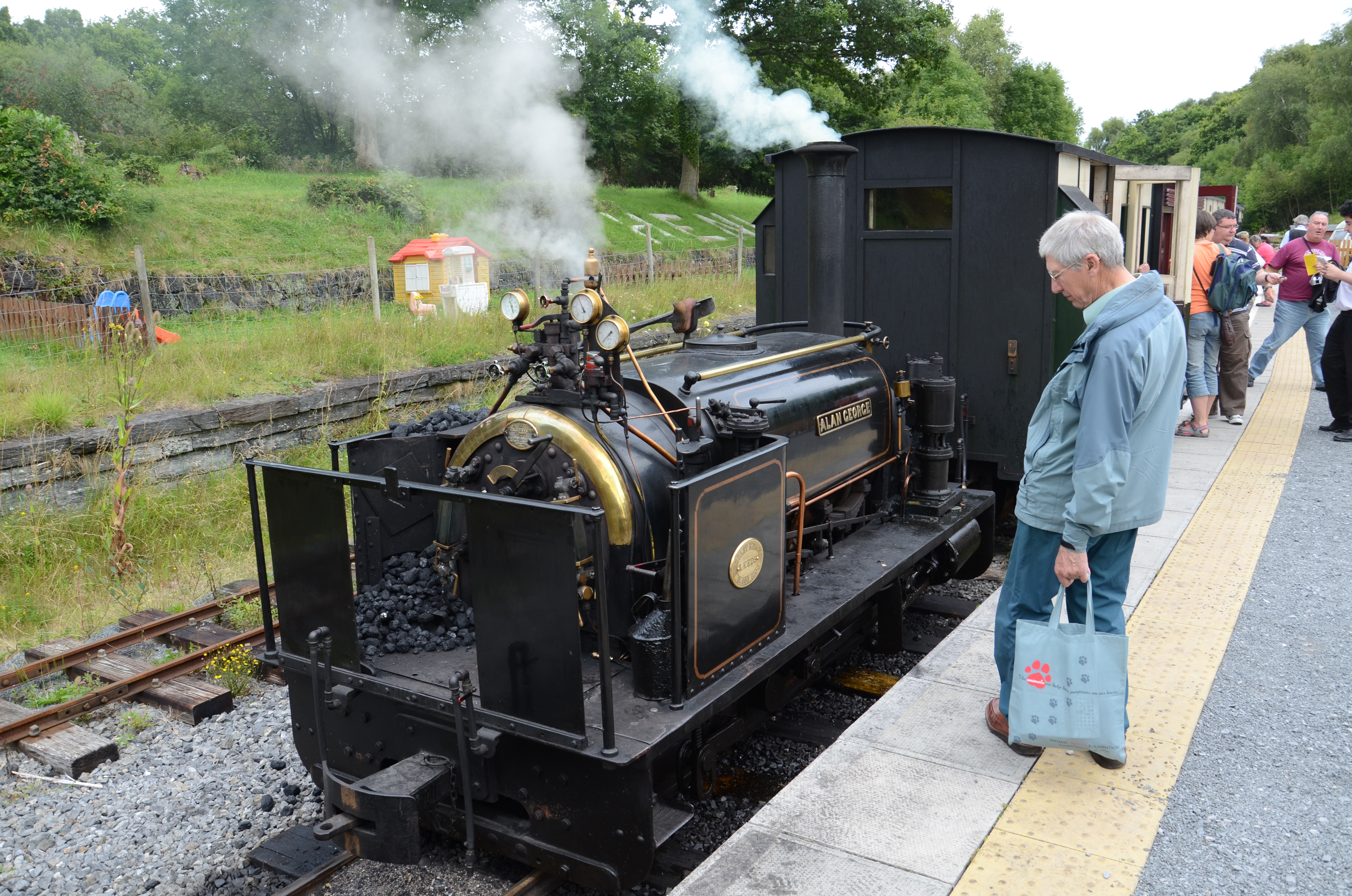
Teifi Valley Railway
The Teifi Valley Railway (Welsh: Rheilffordd Dyffryn Teifi) is a 2 ft (610 mm) narrow gauge railway occupying a section of the former standard gauge Great...

Berthyfedwen
Berthyfedwen is a small village in the community of Llandyfriog, Ceredigion, Wales, which is 65.8 miles (105.9 km) from Cardiff and 187.1 miles (301 km...
Emlyn
Emlyn was one of the seven cantrefi of Dyfed, an ancient district of Wales, which became part of Deheubarth in around 950. It consisted of the northern...
Llandyfriog transmitting station
The Llandyfriog transmitting station is a broadcasting and telecommunications facility located on high ground several kilometres east of the town of Newcastle...

Llandyfriog
Llandyfriog is a community in Ceredigion, Wales. It includes the Adpar part of Newcastle Emlyn and the villages, Bangor Teifi, Trebedw, Bryndioddef-isaf...
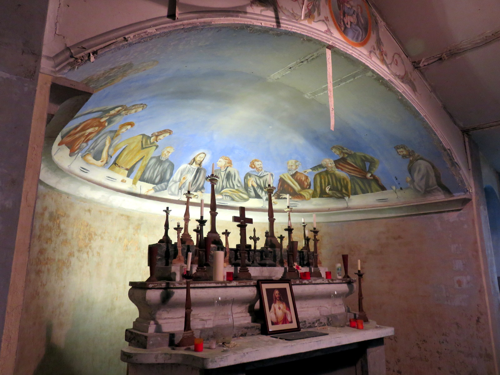
Capel Eidalwyr
Capel Eidalwyr is a Roman Catholic chapel located on the site of a prisoner-of-war camp at Henllan, Ceredigion, Wales. The chapel was established in a...

Henllan, Ceredigion
Henllan is a village in Ceredigion, Wales. Henllan is situated along minor roads off the A484 Cardigan to Carmarthen road, some 3 miles (5 km) east of...
Henllan railway station
Henllan was a railway station near the village of Henllan, Ceredigion, West Wales, serving the hamlet and the rural locale. == History == The Teifi Valley...
Nearby Amenities
Located within 500m of 52.035965,-4.422Have you been to Pentre-cagal?
Leave your review of Pentre-cagal below (or comments, questions and feedback).