Allt Cwmrhibyn

Wood, Forest in Cardiganshire

Wales

Allt Cwmrhibyn

Carreg Bica From the headland coastal path
Carreg Bica Credit: Kevin Waterhouse

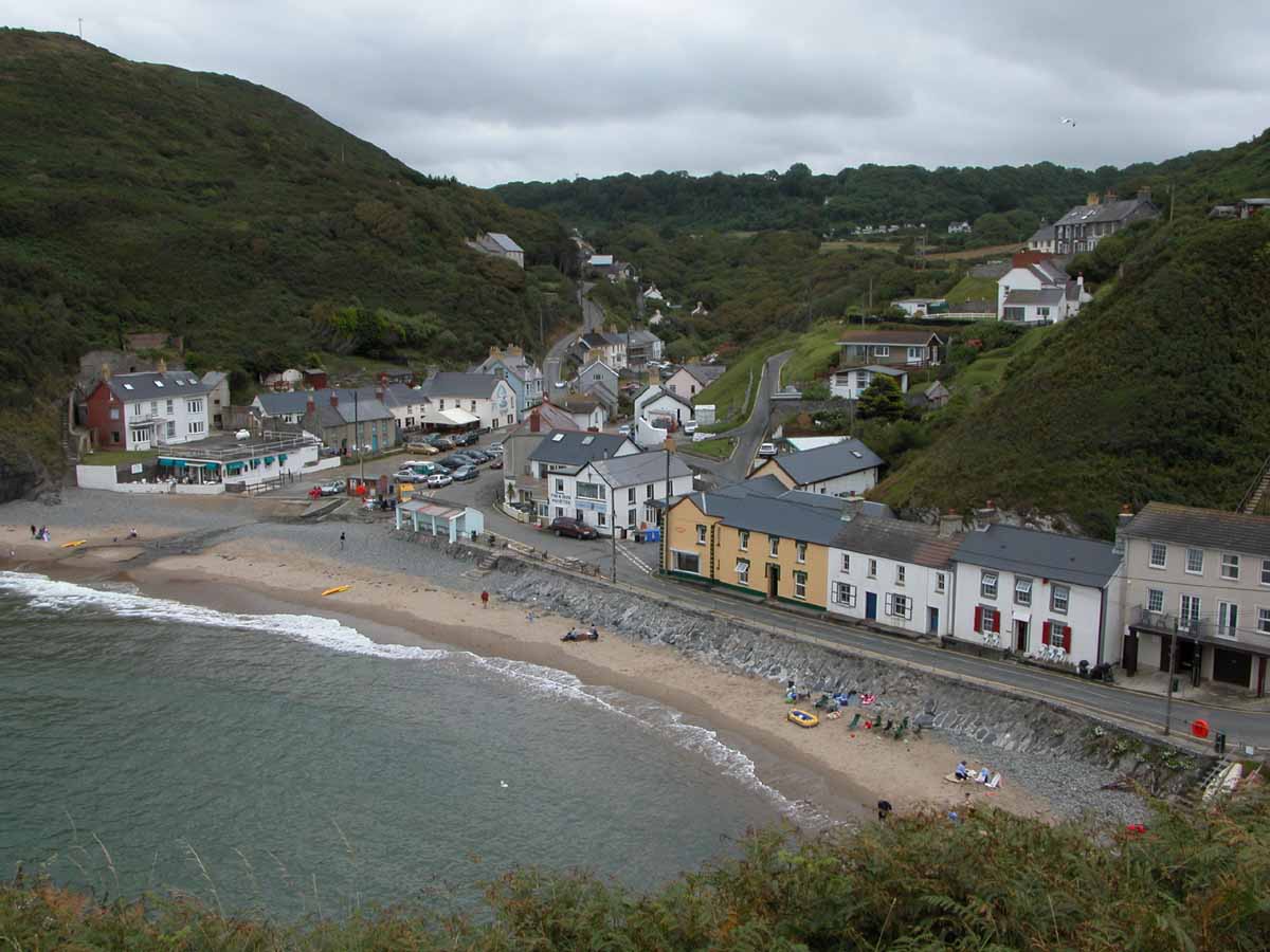
Allt Cwmrhibyn is a picturesque wood located in Cardiganshire, Wales. Nestled in the heart of the countryside, this enchanting forest is a haven for nature lovers and outdoor enthusiasts alike.

Covering an area of approximately 100 acres, Allt Cwmrhibyn boasts a diverse range of flora and fauna. The wood is predominantly made up of native tree species such as oak, beech, and ash, providing a rich and varied habitat for wildlife. Visitors can expect to encounter a plethora of bird species, including buzzards, woodpeckers, and various songbirds.

The wood is crisscrossed with a network of well-maintained walking trails, inviting visitors to explore and immerse themselves in the tranquil surroundings. These trails offer stunning views of the surrounding landscape, with glimpses of rolling hills and meandering streams.

Allt Cwmrhibyn is also home to a variety of wildlife, including deer, foxes, and badgers. Nature enthusiasts may be lucky enough to spot these elusive creatures as they roam freely throughout the wood.

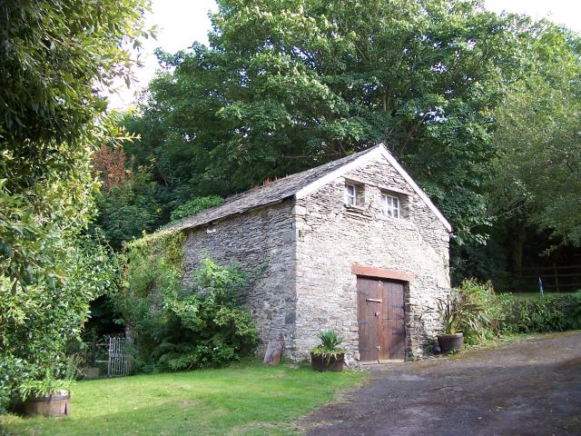
In addition to its natural beauty, Allt Cwmrhibyn also holds historical significance. The wood is dotted with remnants of old ruins and ancient stone structures, providing a glimpse into the area's past.

Overall, Allt Cwmrhibyn is a true gem of Cardiganshire. With its stunning landscapes, abundant wildlife, and historical charm, it offers a perfect escape from the hustle and bustle of modern life.

If you have any feedback on the listing, please let us know in the comments section below.

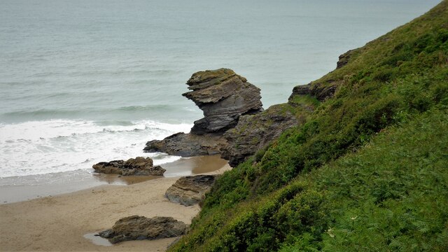
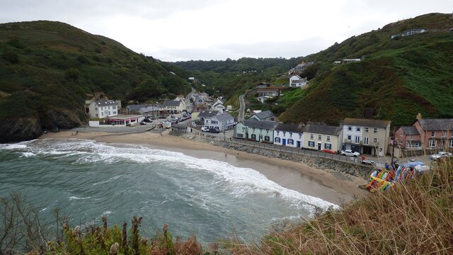
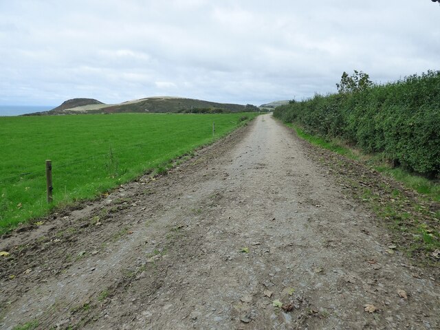
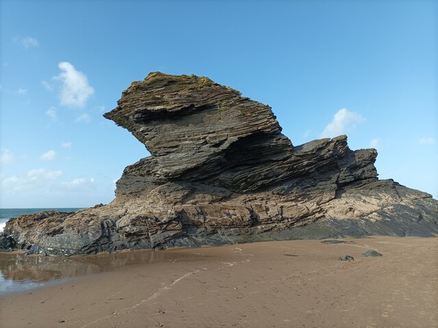
Allt Cwmrhibyn Images

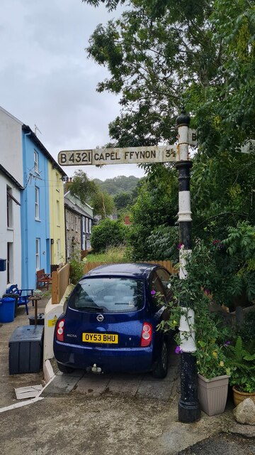
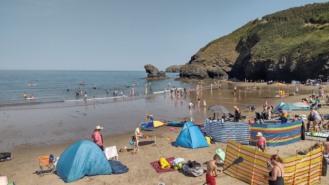
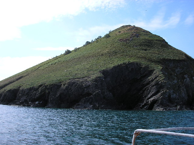
Images are sourced within 2km of 52.159489/-4.4430418 or Grid Reference SN3254. Thanks to Geograph Open Source API. All images are credited.

Carreg Bica From the headland coastal path
Carreg Bica
From the headland coastal path
Llangrannog Village View from the cliff south of the village.
Llangrannog Village
View from the cliff south of the village.
Footpath leading north from Eisteddfa
Llangrannog Village View from hill to the north of the village.
Llangrannog Village
View from hill to the north of the village.
Pendinaslochdyn Iron Age Hillfort <span class="nowrap"><a title="https://www.megalithic.co.uk/article.php?sid=17596" rel="nofollow ugc noopener" href="https://www.megalithic.co.uk/article.php?sid=17596">Link</a><img style="margin-left:2px;" alt="External link" title="External link - shift click to open in new window" src="https://s1.geograph.org.uk/img/external.png" width="10" height="10"/></span>
Pendinaslochdyn Iron Age Hillfort
Llangrannog Dry Ski Slope Not really the sort of thing you expect to see when walking along a coastal path.
Llangrannog Dry Ski Slope
Not really the sort of thing you expect to see when walking along a coastal path.
Rocks in the Sea Perfect spot for sea birds to rest between feeds.
Rocks in the Sea
Perfect spot for sea birds to rest between feeds.
Trwyn Crou Promontory Fort Fort with two ramparts.
Trwyn Crou Promontory Fort
Fort with two ramparts.
Rock formation in Llangrannog An interesting formation of rocks on the beach in Llangrannog.
Rock formation in Llangrannog
An interesting formation of rocks on the beach in Llangrannog.
Direction Sign – Signpost on the B4321 in Pontgarreg Located in Pontgarreg, on the southeast of the junction on the B4321 near the bridge over Nant Hawen. Llangrannog community. 3 arms, 1 missing, and ogee finial. 

Milestone Society National ID: CRD_SN3354
Direction Sign – Signpost on the B4321 in Pontgarreg
Located in Pontgarreg, on the southeast of the junction on the B4321 near the bridge over Nant Hawen. Llangrannog community. 3 arms, 1 missing, and ogee finial. Milestone Society National ID: CRD_SN3354
Direction Sign – Signpost on the B4321 Located on the south of the junction on the B4321 and the minor road to Llwyndafydd. Llangrannog community. 3 arms and ogee finial. 

Milestone Society National ID: CRD_SN3254
Direction Sign – Signpost on the B4321
Located on the south of the junction on the B4321 and the minor road to Llwyndafydd. Llangrannog community. 3 arms and ogee finial. Milestone Society National ID: CRD_SN3254
Direction Sign – Signpost on the B4321 in Llangrannog Located on the southeast of the junction of the B4321 and the B4334 near the bridge over Nant Hawen. Llangrannog community. 2 arms and ogee finial. 

Milestone Society National ID: CRD_SN3154
Direction Sign – Signpost on the B4321 in Llangrannog
Located on the southeast of the junction of the B4321 and the B4334 near the bridge over Nant Hawen. Llangrannog community. 2 arms and ogee finial. Milestone Society National ID: CRD_SN3154
Llangrannog Beach A busy Llangrannog beach
Llangrannog Beach
A busy Llangrannog beach
B4334 heading out of Llangrannog B4334 heading out of Llangrannog passing the park and ride car park. The ride is a minibus down to the beach
B4334 heading out of Llangrannog
B4334 heading out of Llangrannog passing the park and ride car park. The ride is a minibus down to the beach
Llangrannog Dry Ski Slope The slope is 100m long with a misting system to lubricate the surface. 
A button lift and floodlighting completes the facility. 
As part of the Ski Centre a sledging slope operates as a separate facility using "swissbob" type sledges.
Llangrannog Dry Ski Slope
The slope is 100m long with a misting system to lubricate the surface. A button lift and floodlighting completes the facility. As part of the Ski Centre a sledging slope operates as a separate facility using "swissbob" type sledges.
Cilborth Beach Llangrannog has two main beaches, the main beach at its front and the adjoining Cilborth beach in a hidden cove
Cilborth Beach
Llangrannog has two main beaches, the main beach at its front and the adjoining Cilborth beach in a hidden cove
Trwyn Crou, Ceredigion, Wales Trwyn Crou taken from Cardigan bay
Trwyn Crou, Ceredigion, Wales
Trwyn Crou taken from Cardigan bay
Llangranog Mill Small water powered corn mill on two floors which had an overshot water wheel supplied by a leat of 510m length supplied from a weir across Nant Hawen to an oval mill pond around 25m length and 30m above the mill.
Nonconformist religious meetings were held here before the building of the nearby Bancyfelin Chapel.
Llangranog Mill
Small water powered corn mill on two floors which had an overshot water wheel supplied by a leat of 510m length supplied from a weir across Nant Hawen to an oval mill pond around 25m length and 30m above the mill. Nonconformist religious meetings were held here before the building of the nearby Bancyfelin Chapel.
Show me another place!

Allt Cwmrhibyn is located at Grid Ref: SN3254 (Lat: 52.159489, Lng: -4.4430418)

Unitary Authority: Ceredigion

Police Authority: Dyfed Powys

What 3 Words

///barstool.fells.nightfall. Near Llanllwchaiarn, Ceredigion

Related Wikis

Pigeon's Ford

Pigeon's Ford is a hamlet in the community of Llangrannog, Ceredigion, Wales, which is 71.8 miles (115.5 km) from Cardiff and 189.9 miles (305.5 km) from...

Llangrannog

Llangrannog (Welsh pronunciation: [ɬanˈgranɔg]; sometimes spelt as Llangranog) is both a village and a community in Ceredigion, Wales, 6 miles (10 km...

River Hawen

The River Hawen (Welsh pronunciation: [ˈhau̯ɛn]) (Welsh: Nant Hawen) is the main stream that flows through Llangrannog, Ceredigion, Wales into Cardigan...

Blaen Celyn

Blaen Celyn is a hamlet in the community of Llangrannog, Ceredigion, Wales, 2 miles (3.2 km) east of Llangrannog village. The local St. David's Church...

Nearby Amenities

Located within 500m of 52.159489,-4.4430418
Post Box
Ivy House
Lat/Long: 52.1561628/-4.4404692
Barrier: cattle_grid
Lat/Long: 52.1601099/-4.4472752
Direction: SSE
Generator Method: photovoltaic
Generator Output Electricity: yes
Generator Solar Modules: 2
Generator Source: solar
Generator Type: solar_photovoltaic_panel
Location: roof
Power: generator
Lat/Long: 52.1561866/-4.4395414
Direction: SSE
Generator Method: photovoltaic
Generator Output Electricity: yes
Generator Solar Modules: 9
Generator Source: solar
Generator Type: solar_photovoltaic_panel
Location: roof
Power: generator
Lat/Long: 52.156203/-4.439473
Direction: WSW
Generator Method: photovoltaic
Generator Output Electricity: yes
Generator Solar Modules: 16
Generator Source: solar
Generator Type: solar_photovoltaic_panel
Location: roof
Power: generator
Lat/Long: 52.155862/-4.440676
The data included in this document is from www.openstreetmap.org. The data is made available under ODbL.

Have you been to Allt Cwmrhibyn?

Leave your review of Allt Cwmrhibyn below (or comments, questions and feedback).