Allt y Cwrt

Wood, Forest in Cardiganshire

Wales

Allt y Cwrt

Carreg Bica From the headland coastal path
Carreg Bica Credit: Kevin Waterhouse

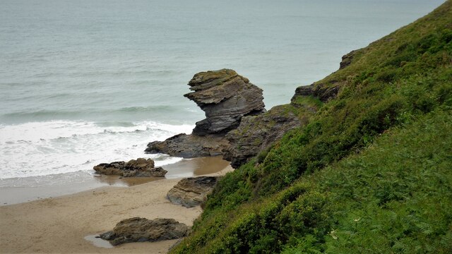
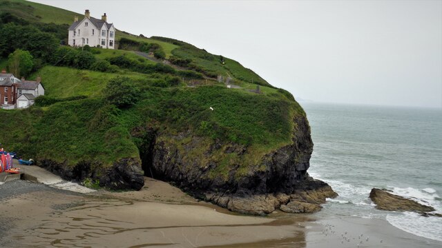
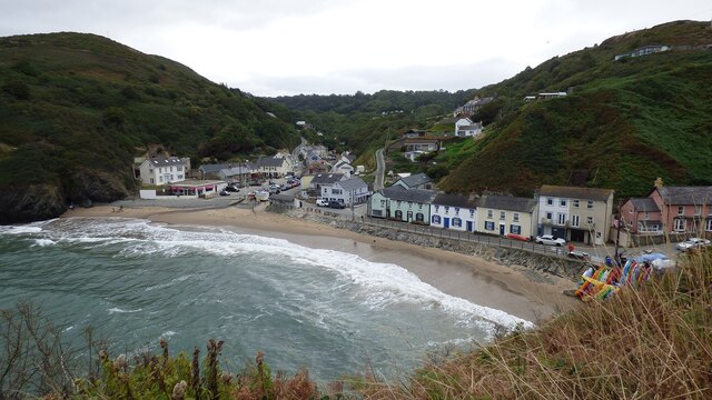
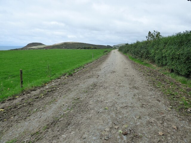
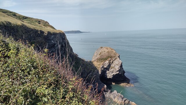
Allt y Cwrt is a picturesque wood located in the county of Cardiganshire, Wales. Nestled in the scenic countryside, this forested area covers a vast expanse of land and is renowned for its natural beauty and diverse flora and fauna.

The wood is predominantly comprised of native deciduous trees such as oak, beech, and ash, which provide a lush canopy during the summer months. The forest floor is adorned with a rich tapestry of wildflowers, creating a vibrant and enchanting scene.

The area is a haven for wildlife, with numerous species making it their home. Visitors may encounter red squirrels, foxes, and a variety of bird species, including woodpeckers and owls. The wood is also home to several rare and protected species, including the pearl-bordered fritillary butterfly and the lesser horseshoe bat.

A network of well-maintained walking trails winds its way through Allt y Cwrt, offering visitors the opportunity to explore the wood at their own pace. The trails vary in length and difficulty, catering to both casual walkers and more experienced hikers. Along the way, there are several viewpoints that offer breathtaking vistas of the surrounding countryside.

Allt y Cwrt is a popular destination for nature enthusiasts, who come to enjoy the tranquility and serenity of this woodland oasis. Whether it's a leisurely stroll through the trees or a deeper exploration of the diverse ecosystems, visitors to Allt y Cwrt are sure to be captivated by its natural wonders.

If you have any feedback on the listing, please let us know in the comments section below.

Allt y Cwrt Images

Images are sourced within 2km of 52.161844/-4.4496192 or Grid Reference SN3254. Thanks to Geograph Open Source API. All images are credited.

Carreg Bica From the headland coastal path
Carreg Bica
From the headland coastal path
The West Headland View across the small bay. The west headland has a statue of St Carannog above the cliff
The West Headland
View across the small bay. The west headland has a statue of St Carannog above the cliff
Lime Kiln at Llangrannog
Llangrannog Village View from the cliff south of the village.
Llangrannog Village
View from the cliff south of the village.
Footpath leading north from Eisteddfa
Llangrannog Village View from hill to the north of the village.
Llangrannog Village
View from hill to the north of the village.
Ynys-Lochtyn Island and Promontory Fort The fort overlooks the small tidal island and has a single rampart and ditch on the landward side <span class="nowrap"><a title="https://coflein.gov.uk/en/site/408279/" rel="nofollow ugc noopener" href="https://coflein.gov.uk/en/site/408279/">Link</a><img style="margin-left:2px;" alt="External link" title="External link - shift click to open in new window" src="https://s1.geograph.org.uk/img/external.png" width="10" height="10"/></span>
Ynys-Lochtyn Island and Promontory Fort
The fort overlooks the small tidal island and has a single rampart and ditch on the landward side LinkExternal link
Pendinaslochdyn Iron Age Hillfort <span class="nowrap"><a title="https://www.megalithic.co.uk/article.php?sid=17596" rel="nofollow ugc noopener" href="https://www.megalithic.co.uk/article.php?sid=17596">Link</a><img style="margin-left:2px;" alt="External link" title="External link - shift click to open in new window" src="https://s1.geograph.org.uk/img/external.png" width="10" height="10"/></span>
Pendinaslochdyn Iron Age Hillfort
Llangrannog Dry Ski Slope Not really the sort of thing you expect to see when walking along a coastal path.
Llangrannog Dry Ski Slope
Not really the sort of thing you expect to see when walking along a coastal path.
Rocks in the Sea Perfect spot for sea birds to rest between feeds.
Rocks in the Sea
Perfect spot for sea birds to rest between feeds.
Trwyn Crou Promontory Fort Fort with two ramparts.
Trwyn Crou Promontory Fort
Fort with two ramparts.
Rock formation in Llangrannog An interesting formation of rocks on the beach in Llangrannog.
Rock formation in Llangrannog
An interesting formation of rocks on the beach in Llangrannog.
Direction Sign – Signpost on the B4321 in Pontgarreg Located in Pontgarreg, on the southeast of the junction on the B4321 near the bridge over Nant Hawen. Llangrannog community. 3 arms, 1 missing, and ogee finial. 

Milestone Society National ID: CRD_SN3354
Direction Sign – Signpost on the B4321 in Pontgarreg
Located in Pontgarreg, on the southeast of the junction on the B4321 near the bridge over Nant Hawen. Llangrannog community. 3 arms, 1 missing, and ogee finial. Milestone Society National ID: CRD_SN3354
Direction Sign – Signpost on the B4321 Located on the south of the junction on the B4321 and the minor road to Llwyndafydd. Llangrannog community. 3 arms and ogee finial. 

Milestone Society National ID: CRD_SN3254
Direction Sign – Signpost on the B4321
Located on the south of the junction on the B4321 and the minor road to Llwyndafydd. Llangrannog community. 3 arms and ogee finial. Milestone Society National ID: CRD_SN3254
Direction Sign – Signpost on the B4321 in Llangrannog Located on the southeast of the junction of the B4321 and the B4334 near the bridge over Nant Hawen. Llangrannog community. 2 arms and ogee finial. 

Milestone Society National ID: CRD_SN3154
Direction Sign – Signpost on the B4321 in Llangrannog
Located on the southeast of the junction of the B4321 and the B4334 near the bridge over Nant Hawen. Llangrannog community. 2 arms and ogee finial. Milestone Society National ID: CRD_SN3154
Llangrannog Beach A busy Llangrannog beach
Llangrannog Beach
A busy Llangrannog beach
Carreg Dol-y-Fran. From the coast path looking to Carreg Dol-y -Fran
Carreg Dol-y-Fran.
From the coast path looking to Carreg Dol-y -Fran
B4334 heading out of Llangrannog B4334 heading out of Llangrannog passing the park and ride car park. The ride is a minibus down to the beach
B4334 heading out of Llangrannog
B4334 heading out of Llangrannog passing the park and ride car park. The ride is a minibus down to the beach
Show me another place!

Allt y Cwrt is located at Grid Ref: SN3254 (Lat: 52.161844, Lng: -4.4496192)

Unitary Authority: Ceredigion

Police Authority: Dyfed Powys

What 3 Words

///bravery.dolphin.removers. Near Llanllwchaiarn, Ceredigion

Related Wikis

Pigeon's Ford

Pigeon's Ford is a hamlet in the community of Llangrannog, Ceredigion, Wales, which is 71.8 miles (115.5 km) from Cardiff and 189.9 miles (305.5 km) from...
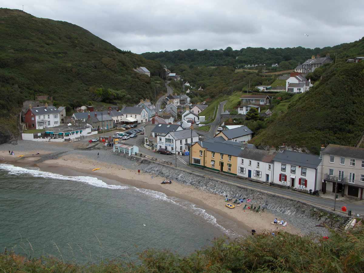
Llangrannog

Llangrannog (Welsh pronunciation: [ɬanˈgranɔg]; sometimes spelt as Llangranog) is a village and community in Ceredigion, Wales, 6 miles (10 km) southwest...

River Hawen

The River Hawen (Welsh pronunciation: [ˈhau̯ɛn]; Welsh: Nant Hawen) is the main stream that flows through Llangrannog, Ceredigion, Wales into Cardigan...

Blaen Celyn

Blaen Celyn is a hamlet in the community of Llangrannog, Ceredigion, Wales, 2 miles (3.2 km) east of Llangrannog village. The local St. David's Church...

Nearby Amenities

Located within 500m of 52.161844,-4.4496192
Barrier: stile
Foot: yes
Source: survey
Lat/Long: 52.1611595/-4.456191
Barrier: cattle_grid
Lat/Long: 52.1601099/-4.4472752
Direction: S
Generator Method: photovoltaic
Generator Output Electricity: yes
Generator Solar Modules: 7
Generator Source: solar
Generator Type: solar_photovoltaic_panel
Location: roof
Power: generator
Lat/Long: 52.1607795/-4.4541816
Direction: S
Generator Method: photovoltaic
Generator Output Electricity: yes
Generator Solar Modules: 7
Generator Source: solar
Generator Type: solar_photovoltaic_panel
Location: roof
Power: generator
Lat/Long: 52.1607812/-4.4543016
The data included in this document is from www.openstreetmap.org. The data is made available under ODbL.

Have you been to Allt y Cwrt?

Leave your review of Allt y Cwrt below (or comments, questions and feedback).