Caer Glwyd
Coastal Feature, Headland, Point in Cardiganshire
Wales
Caer Glwyd
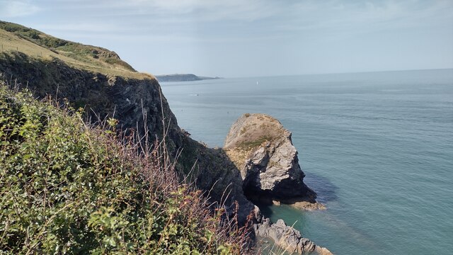
Caer Glwyd is a remarkable coastal feature located in Cardiganshire, Wales. It takes the form of a dramatic headland and point that juts out into the Irish Sea. The name Caer Glwyd translates to "the shining fort" in English, a fitting description for this stunning landscape.
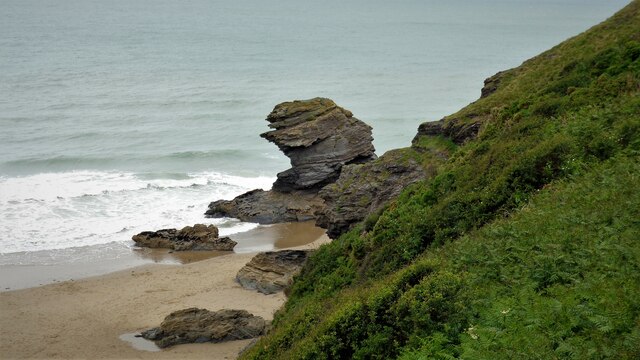
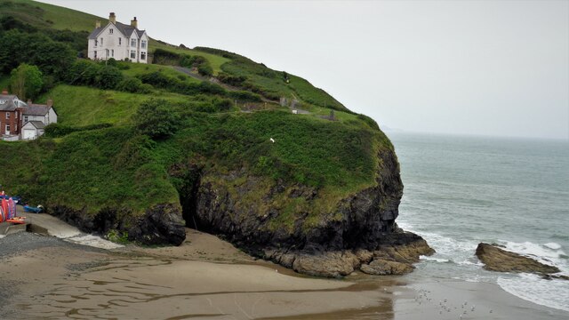
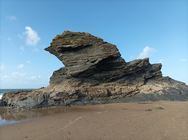
The headland is characterized by its rugged cliffs, which rise steeply from the sea, reaching heights of over 100 meters in some areas. These cliffs are composed of layers of sedimentary rock, providing a fascinating glimpse into the geological history of the region. The exposed rock formations are a testament to the forces of erosion and weathering that have shaped the coastline over millions of years.
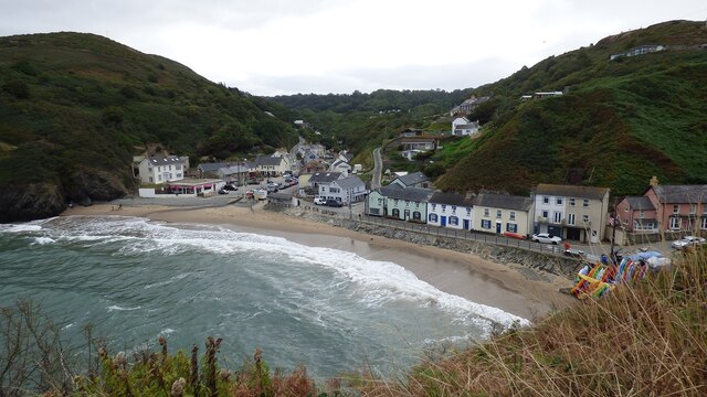
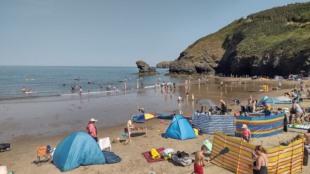
Caer Glwyd offers breathtaking panoramic views, with sweeping vistas of the sea and surrounding coastline. On clear days, visitors can even catch sight of dolphins and seals frolicking in the waters below. The headland is also home to a diverse range of seabirds, making it a popular spot for birdwatching enthusiasts.
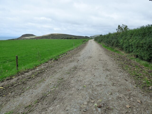
The area surrounding Caer Glwyd is teeming with natural beauty. Lush green fields and rolling hills provide a picturesque backdrop to the rugged coastline. Walking trails crisscross the headland, allowing visitors to explore the area and soak in the stunning scenery.
Caer Glwyd is not only a haven for nature lovers, but it also holds historical significance. The headland is believed to have been a defensive site during the Iron Age, with remnants of an ancient fort still visible today. Archaeological excavations have unearthed artifacts dating back thousands of years, providing valuable insights into the region's rich past.
Overall, Caer Glwyd is a captivating coastal feature that offers a perfect blend of natural beauty and historical intrigue. Visitors to this remarkable headland are sure to be mesmerized by its rugged cliffs, stunning views, and rich heritage.
If you have any feedback on the listing, please let us know in the comments section below.
Caer Glwyd Images
Images are sourced within 2km of 52.167502/-4.457286 or Grid Reference SN3254. Thanks to Geograph Open Source API. All images are credited.


Caer Glwyd is located at Grid Ref: SN3254 (Lat: 52.167502, Lng: -4.457286)
Unitary Authority: Ceredigion
Police Authority: Dyfed Powys
What 3 Words
///panoramic.conquests.casino. Near Llanllwchaiarn, Ceredigion
Nearby Locations
Related Wikis
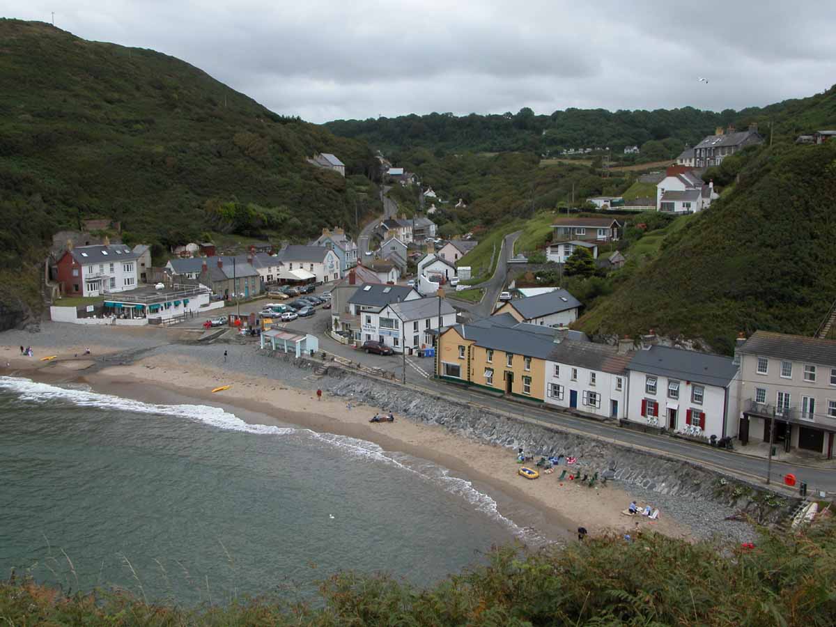
Llangrannog
Llangrannog (Welsh pronunciation: [ɬanˈgranɔg]; sometimes spelt as Llangranog) is both a village and a community in Ceredigion, Wales, 6 miles (10 km...

Pigeon's Ford
Pigeon's Ford is a hamlet in the community of Llangrannog, Ceredigion, Wales, which is 71.8 miles (115.5 km) from Cardiff and 189.9 miles (305.5 km) from...
River Hawen
The River Hawen (Welsh pronunciation: [ˈhau̯ɛn]) (Welsh: Nant Hawen) is the main stream that flows through Llangrannog, Ceredigion, Wales into Cardigan...
Penmorfa
Penmorfa is the name of two villages in Wales. One is a small village in the community of Penbryn, Ceredigion, Wales. Penmorfa is represented in the Senedd...
Nearby Amenities
Located within 500m of 52.167502,-4.457286Have you been to Caer Glwyd?
Leave your review of Caer Glwyd below (or comments, questions and feedback).