Ash Hill Wood
Wood, Forest in Pembrokeshire
Wales
Ash Hill Wood
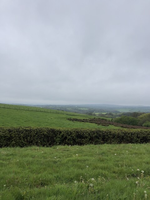
Ash Hill Wood is a beautiful and tranquil forest located in Pembrokeshire, Wales. This ancient woodland covers an area of approximately 100 acres and is home to a diverse range of flora and fauna. The wood is primarily made up of oak, beech, and ash trees, which provide a lush canopy overhead, creating a perfect habitat for a variety of wildlife.
Visitors to Ash Hill Wood can enjoy peaceful walks along well-maintained paths that meander through the forest, offering glimpses of wildflowers, ferns, and moss-covered rocks along the way. The wood is also home to a rich array of bird species, including woodpeckers, owls, and warblers, making it a popular spot for birdwatching enthusiasts.
In addition to its natural beauty, Ash Hill Wood also boasts a rich history, with evidence of ancient settlements and structures dating back centuries. The wood is a designated Site of Special Scientific Interest (SSSI), highlighting its importance for biodiversity and conservation.
Overall, Ash Hill Wood is a hidden gem in the Pembrokeshire countryside, offering visitors a peaceful retreat into nature and a chance to explore a truly special woodland environment.
If you have any feedback on the listing, please let us know in the comments section below.
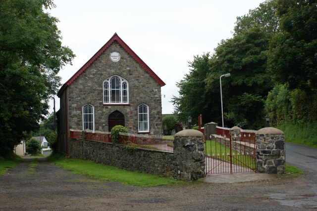
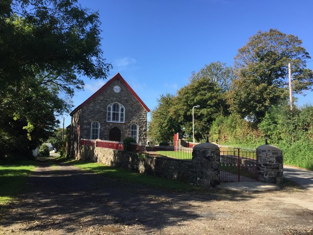
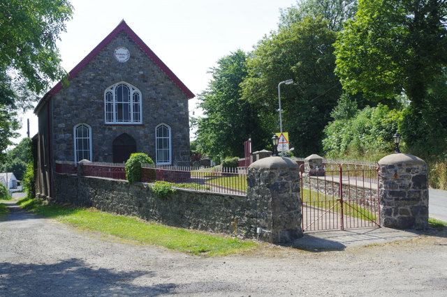
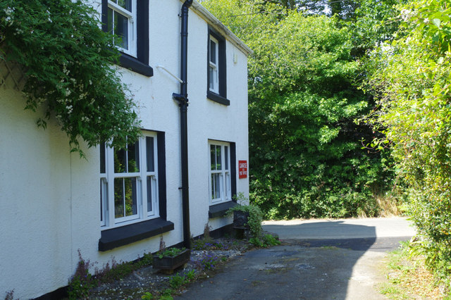
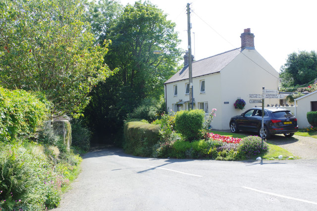
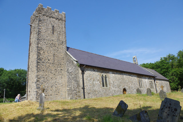
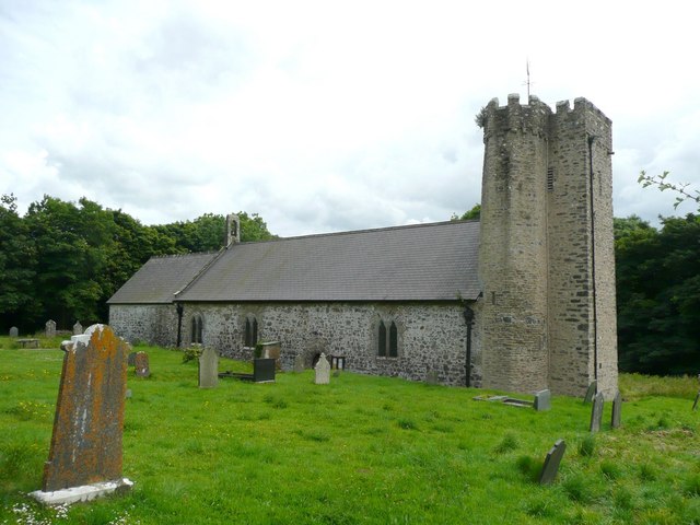
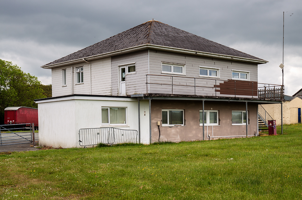
Ash Hill Wood Images
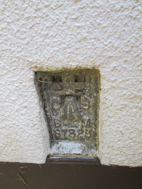
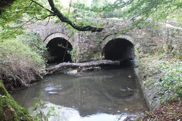
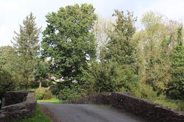
Images are sourced within 2km of 51.834726/-4.9923019 or Grid Reference SM9319. Thanks to Geograph Open Source API. All images are credited.
Ash Hill Wood is located at Grid Ref: SM9319 (Lat: 51.834726, Lng: -4.9923019)
Unitary Authority: Pembrokeshire
Police Authority: Dyfed Powys
What 3 Words
///motion.bathtubs.stem. Near Camrose, Pembrokeshire
Nearby Locations
Related Wikis
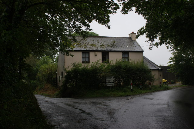
Camrose, Pembrokeshire
Camrose (Welsh: Camros) is a village, parish and community in the historic cantref of Roose (Welsh: Rhos) in Pembrokeshire, Wales. The community includes...
RAF Haverfordwest
Royal Air Force Haverfordwest or more commonly RAF Haverfordwest, is a former Royal Air Force station located 2.1 miles (3.4 km) north of Haverfordwest...

Haverfordwest Airport
Haverfordwest Airport (Welsh: Maes Awyr Hwlffordd) (IATA: HAW, ICAO: EGFE), also known as Withybush Airport, is a minor airport located 2 NM (3.7 km; 2...

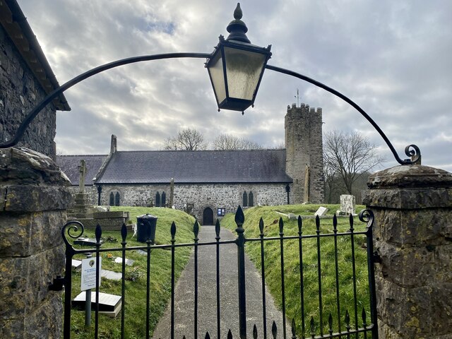
St Michael's Church, Rudbaxton
St Michael's Church is a Grade I listed building and parish church in the community and parish of Rudbaxton in Pembrokeshire, Wales. The building dates...
Nearby Amenities
Located within 500m of 51.834726,-4.9923019Have you been to Ash Hill Wood?
Leave your review of Ash Hill Wood below (or comments, questions and feedback).