Thornbush Wood
Wood, Forest in Pembrokeshire
Wales
Thornbush Wood
Thornbush Wood is a dense forest located in the county of Pembrokeshire, Wales. This woodland area covers a vast expanse of land, characterized by a mix of native trees such as oak, beech, and ash. The forest floor is covered with a thick carpet of moss, ferns, and wildflowers, creating a lush and vibrant ecosystem.
Thornbush Wood is home to a variety of wildlife, including deer, foxes, and a wide range of bird species. The forest provides a natural habitat for these animals, offering shelter, food, and protection from predators.
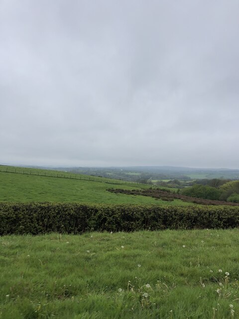
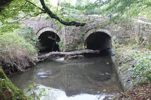
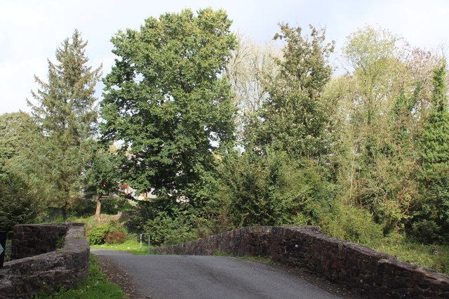
Visitors to Thornbush Wood can enjoy a peaceful and tranquil environment, perfect for hiking, birdwatching, and nature photography. The forest is crisscrossed with walking trails that lead through the trees and past babbling brooks and meandering streams. In the spring and summer months, the forest comes alive with the sound of birdsong and the buzzing of insects.
Overall, Thornbush Wood is a beautiful and diverse woodland that offers a welcome escape from the hustle and bustle of everyday life. It is a place where visitors can connect with nature and experience the beauty of the natural world.
If you have any feedback on the listing, please let us know in the comments section below.
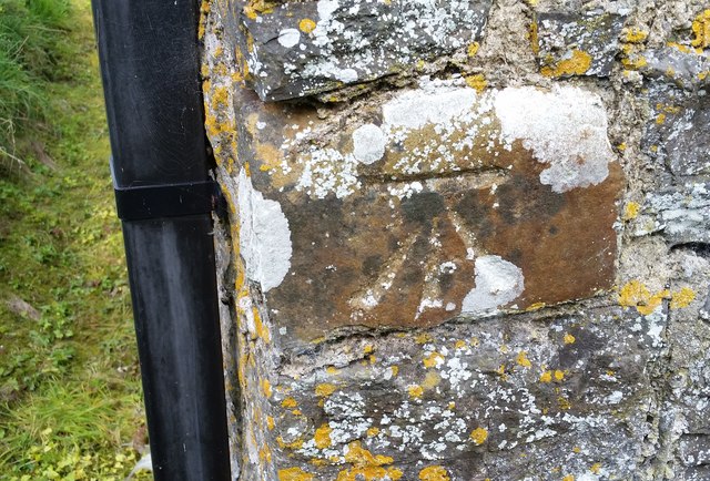
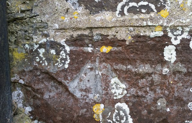
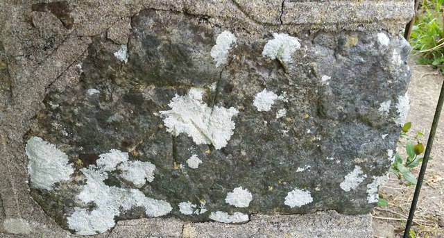
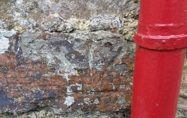
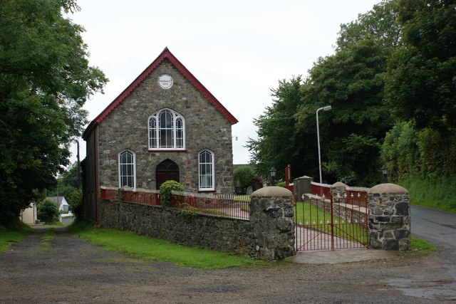
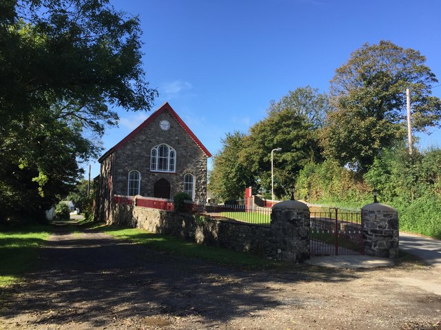
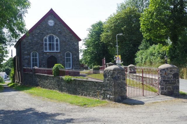
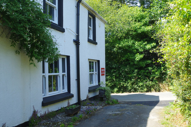
Thornbush Wood Images
Images are sourced within 2km of 51.837459/-4.9955031 or Grid Reference SM9319. Thanks to Geograph Open Source API. All images are credited.
Thornbush Wood is located at Grid Ref: SM9319 (Lat: 51.837459, Lng: -4.9955031)
Unitary Authority: Pembrokeshire
Police Authority: Dyfed Powys
What 3 Words
///chuckling.pots.retina. Near Camrose, Pembrokeshire
Nearby Locations
Related Wikis
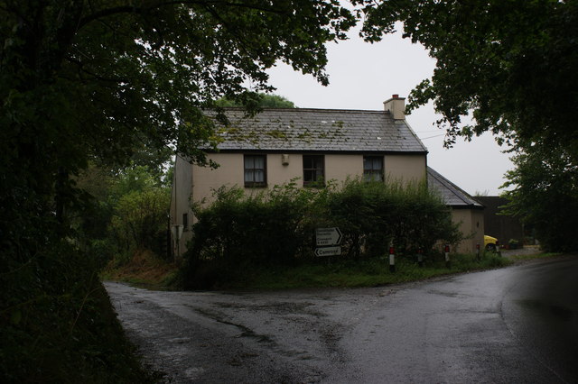
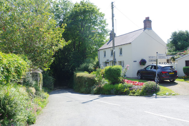
Camrose, Pembrokeshire
Camrose (Welsh: Camros) is a village, parish and community in the historic cantref of Roose (Welsh: Rhos) in Pembrokeshire, Wales. The community includes...
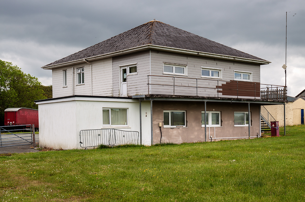
RAF Haverfordwest
Royal Air Force Haverfordwest or more commonly RAF Haverfordwest, is a former Royal Air Force station located 2.1 miles (3.4 km) north of Haverfordwest...

Haverfordwest Airport
Haverfordwest Airport (Welsh: Maes Awyr Hwlffordd) (IATA: HAW, ICAO: EGFE), also known as Withybush Airport, is a minor airport located 2 NM (3.7 km; 2...

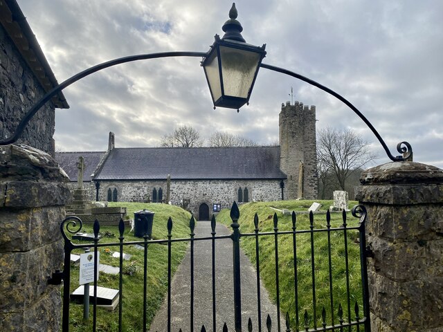
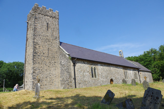
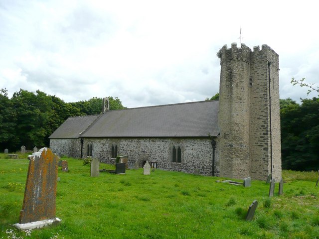
St Michael's Church, Rudbaxton
St Michael's Church is a Grade I listed building and parish church in the community and parish of Rudbaxton in Pembrokeshire, Wales. The building dates...
Nearby Amenities
Located within 500m of 51.837459,-4.9955031Have you been to Thornbush Wood?
Leave your review of Thornbush Wood below (or comments, questions and feedback).