Johnston Wood
Wood, Forest in Pembrokeshire
Wales
Johnston Wood

Johnston Wood is a beautiful woodland located in Pembrokeshire, Wales. Covering an area of approximately 80 acres, this forest is home to a diverse range of flora and fauna, making it a popular destination for nature lovers and outdoor enthusiasts.
The woodland consists mainly of native broadleaf trees such as oak, beech, and ash, creating a lush and vibrant environment. Visitors can enjoy peaceful walks along the well-maintained trails that wind through the forest, offering stunning views of the surrounding countryside.
Johnston Wood is also home to a variety of wildlife, including birds, squirrels, and deer, making it a great spot for birdwatching and wildlife photography. The forest is managed by the local council, ensuring that it remains a pristine and well-preserved natural area for future generations to enjoy.
Overall, Johnston Wood is a tranquil and picturesque woodland that offers a peaceful escape from the hustle and bustle of everyday life. Whether you're looking for a relaxing stroll through nature or a chance to spot some wildlife, this forest has something to offer for everyone.
If you have any feedback on the listing, please let us know in the comments section below.
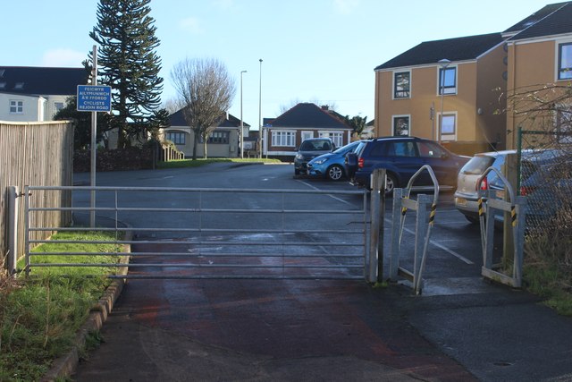
Johnston Wood Images
Images are sourced within 2km of 51.748883/-4.9864905 or Grid Reference SM9309. Thanks to Geograph Open Source API. All images are credited.


Johnston Wood is located at Grid Ref: SM9309 (Lat: 51.748883, Lng: -4.9864905)
Unitary Authority: Pembrokeshire
Police Authority: Dyfed Powys
What 3 Words
///zealous.define.slant. Near Johnston, Pembrokeshire
Nearby Locations
Related Wikis

Benton Fault
The Benton Fault is a geological fault in southern Pembrokeshire in Wales that was active as a normal fault during the deposition of the Old Red Sandstone...

Johnston, Pembrokeshire
Johnston is a village, parish and community in the former hundred of Roose, Pembrokeshire, Wales, and a parish in the diocese of Diocese of St David's...
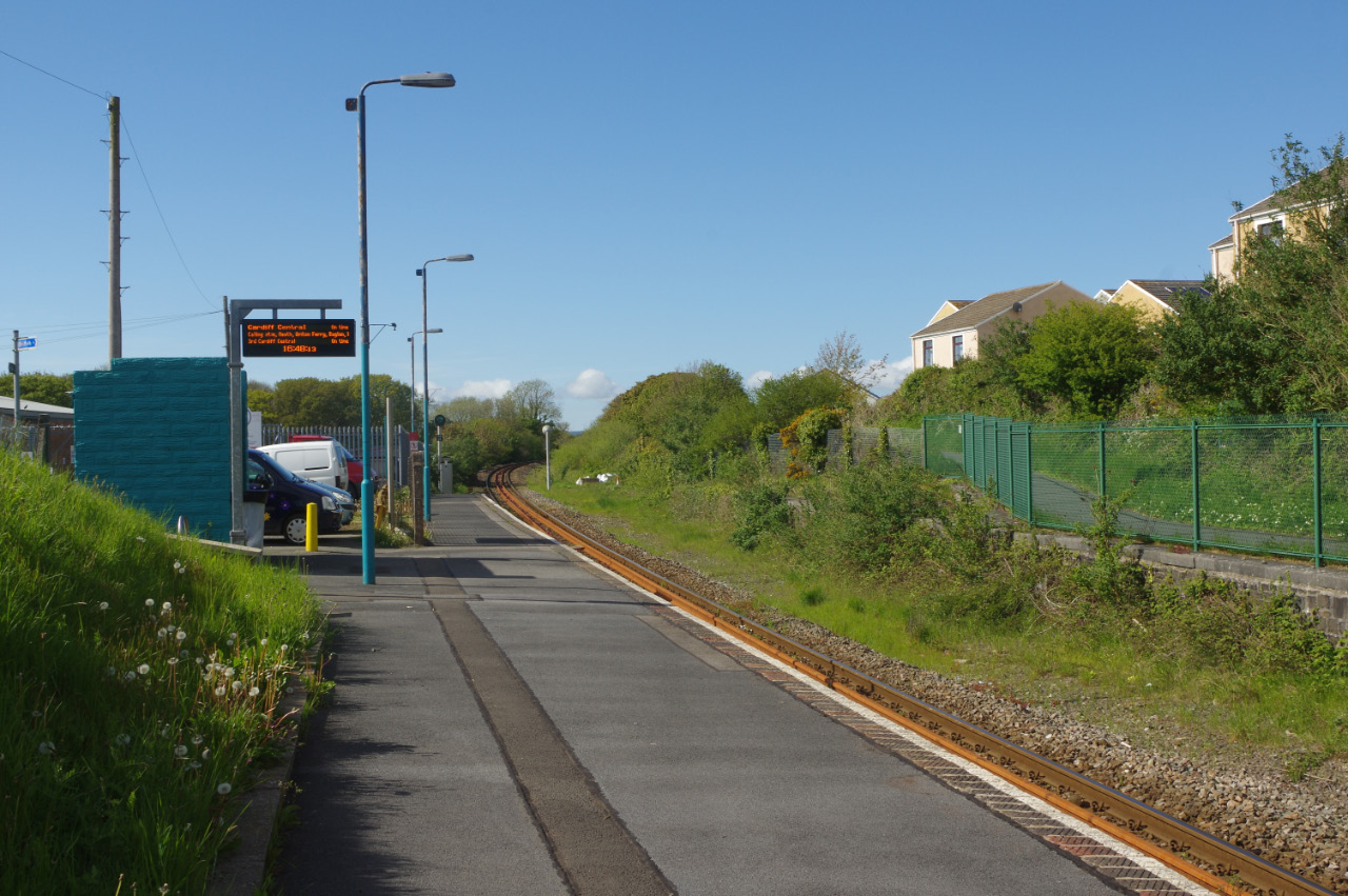
Johnston railway station
Johnston railway station is an unstaffed railway station in the village of Johnston in Pembrokeshire, Wales. It opened in 1856 as part of the final section...
Rosemarket
Rosemarket is a village, parish and community in Pembrokeshire, Wales, north of Milford Haven. == Name == The name does not refer to flowers but to the...
Nearby Amenities
Located within 500m of 51.748883,-4.9864905Have you been to Johnston Wood?
Leave your review of Johnston Wood below (or comments, questions and feedback).