Merrion Covert

Wood, Forest in Pembrokeshire

Wales

Merrion Covert

Centurion Mk12 tank at the entrance to Merrion Camp
Centurion Mk12 tank at the entrance to Merrion Camp Credit: Stephen Charles

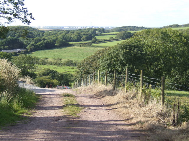
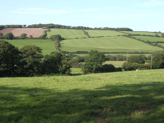
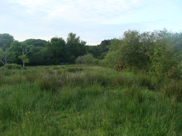
Merrion Covert is a beautiful woodland area located in Pembrokeshire, Wales. This ancient forest is known for its lush greenery, towering trees, and diverse wildlife. The woodland is a mix of broadleaf and coniferous trees, creating a rich and varied ecosystem.

Merrion Covert is a popular destination for nature lovers and outdoor enthusiasts, offering peaceful walking trails and opportunities for birdwatching and wildlife spotting. The forest is home to a variety of bird species, including woodpeckers, owls, and red kites, as well as mammals such as deer, badgers, and foxes.

Visitors to Merrion Covert can enjoy a leisurely stroll through the forest, taking in the sights and sounds of nature, or they can venture off the beaten path and explore the more remote areas of the woodland. The forest is also a great spot for picnics and family outings, providing a tranquil setting for relaxation and enjoyment of the natural world.

Overall, Merrion Covert is a peaceful and picturesque woodland area that offers a true escape from the hustle and bustle of everyday life.

If you have any feedback on the listing, please let us know in the comments section below.

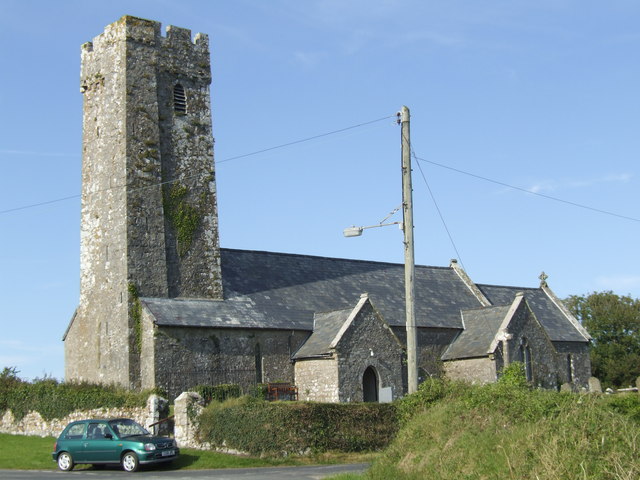
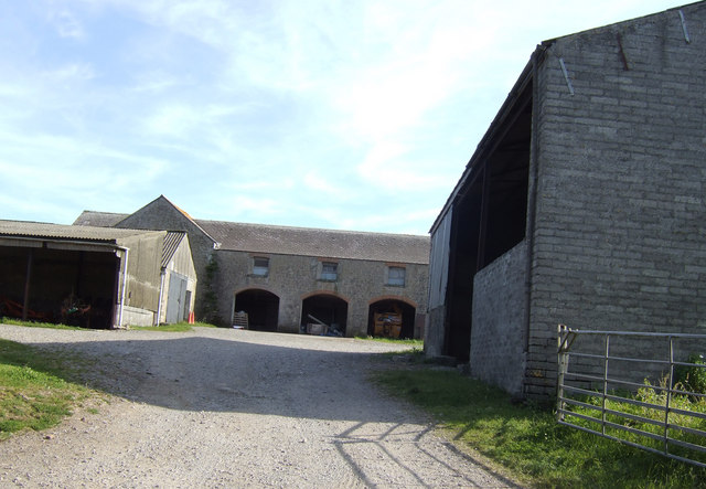
Merrion Covert Images

Images are sourced within 2km of 51.638909/-4.9813501 or Grid Reference SR9397. Thanks to Geograph Open Source API. All images are credited.

Centurion Mk12 tank at the entrance to Merrion Camp
King's Mill Farm and drive
Tank control tower Looking very much like an airport control tower, this tower is for viewing and directing tank movements on the Castlemartin west tank gunnery range.
Tank control tower
Looking very much like an airport control tower, this tower is for viewing and directing tank movements on the Castlemartin west tank gunnery range.
St Mary's Church, Warren
AA place name and distance signs Signs in this style were erected all over the country by the Automobile Association in the 1950s. They would be doubly offensive to Cymdeithas yr Iaith Gymraeg (the Welsh Language Society), a) because they are in English only and b) because they give the distance to London rather than to Cardiff. The Cymdeithas mounted a vigorous campaign defacing signs such as these. But these somehow survived untouched.
AA place name and distance signs
Signs in this style were erected all over the country by the Automobile Association in the 1950s. They would be doubly offensive to Cymdeithas yr Iaith Gymraeg (the Welsh Language Society), a) because they are in English only and b) because they give the distance to London rather than to Cardiff. The Cymdeithas mounted a vigorous campaign defacing signs such as these. But these somehow survived untouched.
St. Twynnells church The tall tower must be visible from the sea only a few miles to the south.
St. Twynnells church
The tall tower must be visible from the sea only a few miles to the south.
Loveston Farm South of the B4319 near St. Twynnells
Loveston Farm
South of the B4319 near St. Twynnells
View north of St. Twynnells Leading the eye to oil storage tanks at Milford Haven.
View north of St. Twynnells
Leading the eye to oil storage tanks at Milford Haven.
Countryside north of St. Twynnells The Orielton Tower folly can be seen on the hill in the distance.
Countryside north of St. Twynnells
The Orielton Tower folly can be seen on the hill in the distance.
Dairy land at Corston Lodge Beyond these Holsteins are the signs of heavy industry on the banks of Milford Haven.
Dairy land at Corston Lodge
Beyond these Holsteins are the signs of heavy industry on the banks of Milford Haven.
View south from Axton Hill Over rolling South Pembrokeshire countryside.
View south from Axton Hill
Over rolling South Pembrokeshire countryside.
Warren observation tower Overlooking the Merrion artillery range.
Warren observation tower
Overlooking the Merrion artillery range.
King's Mill Farm
King's Mill Farm
Muddy field, King's Mill Farm
Axton Hill
Axton Hill
Corston Lodge At the entrance to Corston Farm.
Corston Lodge
At the entrance to Corston Farm.
Looking into the next field
A marshy field I had planned to get to the stream but I was not wearing marsh-friendly footwear!
A marshy field
I had planned to get to the stream but I was not wearing marsh-friendly footwear!
Show me another place!

Merrion Covert is located at Grid Ref: SR9397 (Lat: 51.638909, Lng: -4.9813501)

Unitary Authority: Pembrokeshire

Police Authority: Dyfed Powys

What 3 Words

///nothing.subjects.intricate. Near Castlemartin, Pembrokeshire

Related Wikis

Warren, Pembrokeshire

Warren is an ancient parish in the community of Stackpole and Castlemartin, in the most southerly part of Pembrokeshire, Wales. Its northern edge is 5...

Castlemartin Training Area

Castlemartin Training Area is a British Army military training area and armoured fighting vehicle range located in the Welsh county of Pembrokeshire. It...

Stackpole and Castlemartin

Stackpole and Castlemartin is a community in Pembrokeshire, Wales, 4 miles (6.4 km) south of Pembroke.It was formed in 2011 by the amalgamation of the...

Orielton, Pembrokeshire

Orielton is a historic country house near Hundleton in Pembrokeshire, Wales. It has been used as a field studies centre for environmental sciences but...

Nearby Amenities

Located within 500m of 51.638909,-4.9813501
Access: private
Archaeological Site: fortification
Historic: archaeological_site
Historic Civilization: neolithic
Lat/Long: 51.6390134/-4.9782469
Power: pole
Lat/Long: 51.6344942/-4.9812591
The data included in this document is from www.openstreetmap.org. The data is made available under ODbL.

Have you been to Merrion Covert?

Leave your review of Merrion Covert below (or comments, questions and feedback).