Bullen's Green

Settlement in Hertfordshire St. Albans

England

Bullen's Green

St Alban Way towards St Albans
St Alban Way towards St Albans Credit: Ian S

Bullen's Green is a small village located in the county of Hertfordshire, England. Situated approximately 4 miles east of the town of Ware, Bullen's Green falls under the administrative district of East Hertfordshire. The village is nestled amidst picturesque countryside, characterized by rolling hills and verdant fields, making it a desirable location for those seeking a peaceful rural lifestyle.

Despite its small size, Bullen's Green boasts a tight-knit community, with a population of around 200 residents. The village is known for its friendly and welcoming atmosphere, where neighbors often come together to organize various social events and activities. Additionally, Bullen's Green benefits from a range of local amenities, including a village hall, which serves as a hub for community gatherings and events.

Bullen's Green is also surrounded by several notable landmarks and attractions. Nearby, one can find the historic Hatfield Forest, a vast ancient woodland managed by the National Trust, offering scenic walks and an abundance of wildlife. Furthermore, the village is conveniently located close to the River Stort Navigation, providing opportunities for leisurely canal walks and boating.

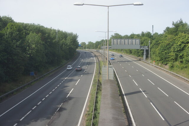
For those seeking access to larger towns and cities, Bullen's Green benefits from excellent transport links. The village is situated just a short drive from the A10 road, which connects to nearby towns such as Hertford and Harlow. Additionally, Ware train station is within easy reach, offering regular services to London and other major cities.

In summary, Bullen's Green offers a tranquil and picturesque setting, coupled with a strong sense of community and convenient access to nearby amenities, making it an appealing place to reside for those looking to escape the hustle and bustle of city life.

If you have any feedback on the listing, please let us know in the comments section below.

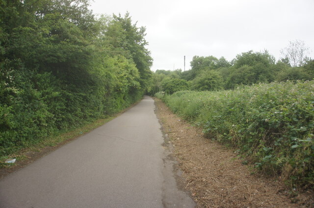
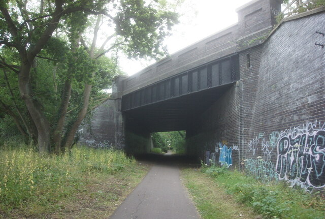
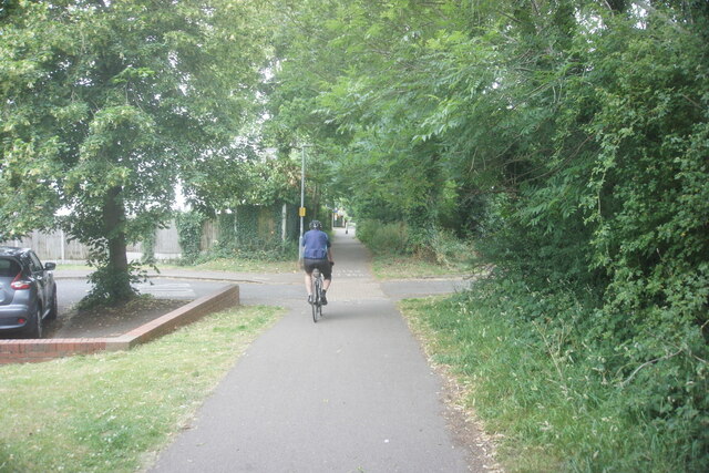
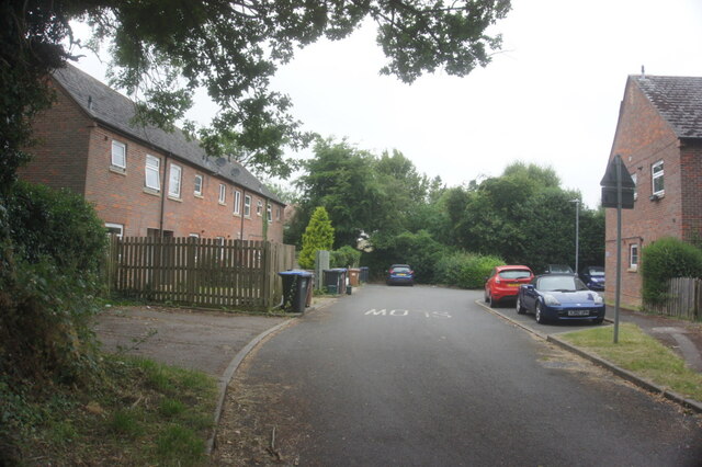
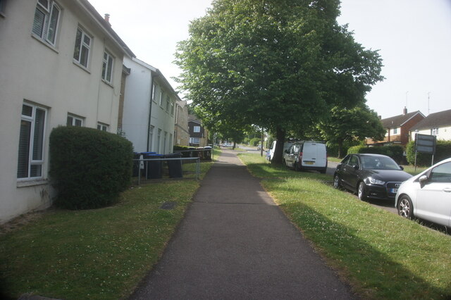
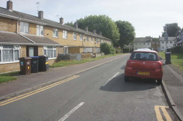
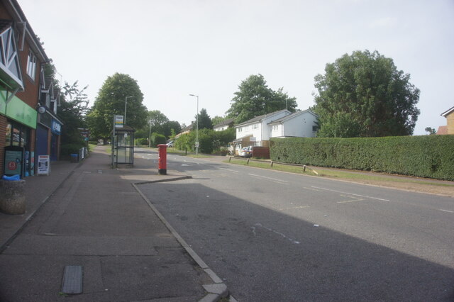
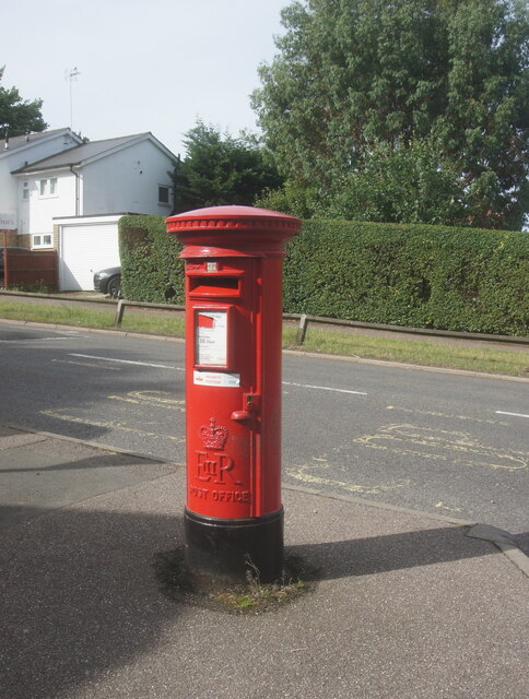
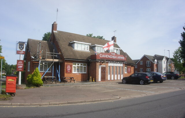
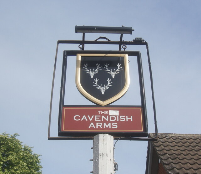
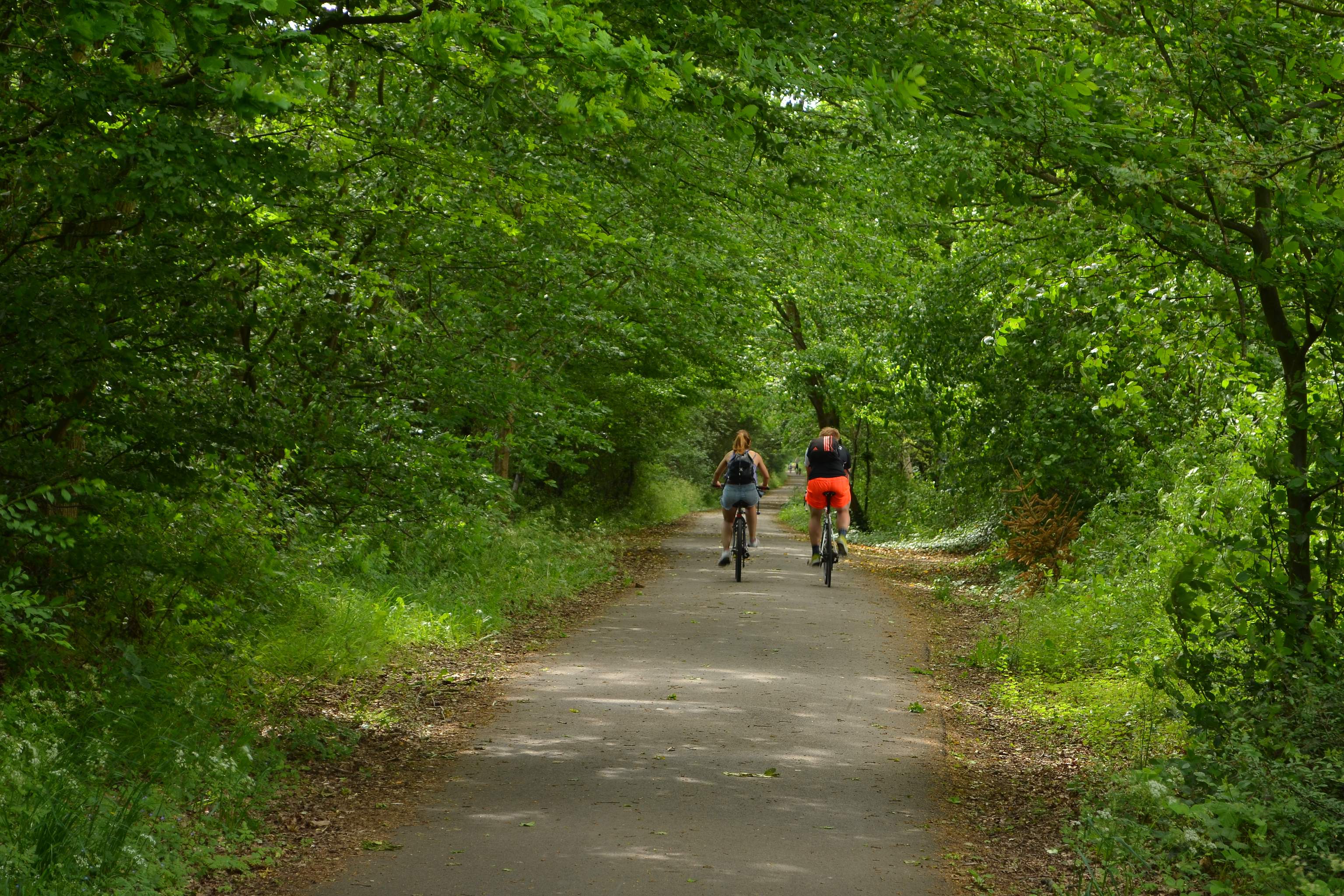
Bullen's Green Images

Images are sourced within 2km of 51.742677/-0.24384377 or Grid Reference TL2106. Thanks to Geograph Open Source API. All images are credited.

St Alban Way towards St Albans
St Alban Way goes under Comet Way, Hatfield
St Alban Way at The Sidings
The Sidings, Hatfield
St Alban Way at Nast Hyde Halt
St Alban Way towards St Albans
Building at Nast Hyde Farm
Byway #51 from St Alban Way
National Cycle Network signpost On St Alban Way.
National Cycle Network signpost
On St Alban Way.
St Alban Way towards St Albans
St Albans Road West at Ellebrook
A1M from Cavendish Way, Hatfield
Bishops Rise, Hatfield
Hill Ley off Bishops Rise, Hatfield
Bishops Rise, Hatfield
Priority Postbox on Bishops Rise, Hatfield
Cavendish Arms on Bishops Rise, Hatfield
Show me another place!

Bullen's Green is located at Grid Ref: TL2106 (Lat: 51.742677, Lng: -0.24384377)

Administrative County: Hertfordshire

District: St. Albans

Police Authority: Hertfordshire

What 3 Words

///wizard.novel.rock. Near Hatfield, Hertfordshire

Related Wikis

Colney Heath Mill

Colney Heath Mill is a Grade II listed smock mill at Colney Heath, Hertfordshire, England, which has been converted to residential accommodation. ��2...

Colney Heath F.C.

Colney Heath Football Club is a semi-professional football club based in Colney Heath, Hertfordshire, England. Affiliated to the Hertfordshire County Football...

University of Hertfordshire

The University of Hertfordshire (UH) is a public university in Hertfordshire, United Kingdom. The university is based largely in Hatfield, Hertfordshire...

Colney Heath

Colney Heath is a large village in Hertfordshire, England. The village became a civil parish in 1947 when the St. Peter Rural parish was split to form...

Colney Heath Local Nature Reserve

Colney Heath Local Nature Reserve is a 22.5 hectare Local Nature Reserve in Colney Heath in Hertfordshire. It is owned and managed by Colney Heath Parish...

Sleapshyde

Sleapshyde is a small village in Hertfordshire, United Kingdom. It is located between Hatfield and St Albans, to the south of Smallford and to the north...

Alban Way

The Alban Way is a traffic free multi-user route along a former railway line in Hertfordshire, England, that has been constructed along the route of the...

Nast Hyde Halt railway station

Nast Hyde Halt is a disused railway station in Hertfordshire. It was opened in 1910 to serve the new houses being built in the area. It is also said that...

Nearby Amenities

Located within 500m of 51.742677,-0.24384377
Note: Motorway regulations end here due to section of road onwards from here was previously two-way and open to farm vehicles for access.
Lat/Long: 51.7389439/-0.2405532
Bus Stop
Tudor Close
Bus: yes
Naptan AtcoCode: 210021602875
Naptan Bearing: S
Naptan CommonName: Tudor Close
Naptan Indicator: nr
Naptan Landmark: Unknown
Naptan NaptanCode: hrtapmgw
Naptan PlusbusZoneRef: HATFILD
Naptan ShortCommonName: NA
Naptan Street: Roehyde Way
Naptan Verified: no
Public Transport: platform
Source: naptan_import
Lat/Long: 51.7464633/-0.2417281
Bus Stop
Tudor Close
Bus: yes
Naptan AtcoCode: 210021604915
Naptan Bearing: N
Naptan CommonName: Tudor Close
Naptan Indicator: opp
Naptan Landmark: Unknown
Naptan NaptanCode: hrtapgda
Naptan PlusbusZoneRef: HATFILD
Naptan ShortCommonName: NA
Naptan Street: Roehyde Way
Naptan Verified: no
Public Transport: platform
Source: naptan_import
Lat/Long: 51.7464477/-0.2419025
Post Box
Description: In layby, next to electricity substation
Operator: Royal Mail
Operator Wikidata: Q638098
Post Box Type: lamp
Ref: AL10 323
Lat/Long: 51.746616/-0.240766
Post Box
Collection Times: Mo-Fr 09:00; Sa 07:00
Operator: Royal Mail
Operator Wikidata: Q638098
Post Box Mounting: brick_pillar
Post Box Type: wall
Ref: AL4 51D
Royal Cypher: VR
Royal Cypher Wikidata: Q33102356
Lat/Long: 51.7427568/-0.2437226
Street Lamp
Lamp Model: Philips MA50
Lamp Type: SOX
Source: Personal memory
Lat/Long: 51.7405381/-0.238254
Street Lamp
Lamp Model: Philips MA50
Lamp Type: SOX
Source: Personal memory
Lat/Long: 51.7390758/-0.2410168
Street Lamp
Lamp Model: Philips MA50
Lamp Type: SOX
Source: Personal memory
Lat/Long: 51.7389281/-0.2406681
Street Lamp
Lamp Model: Philips MA50
Lamp Type: SOX
Source: Personal memory
Lat/Long: 51.7402756/-0.2383908
Street Lamp
Lamp Model: Philips MA50
Lamp Type: SOX
Source: Personal memory
Lat/Long: 51.7397393/-0.2384686
Street Lamp
Lamp Model: Philips MA50
Lamp Type: SOX
Source: Personal memory
Lat/Long: 51.7400099/-0.2384498
Street Lamp
Lamp Model: Philips MA50
Lamp Type: SOX
Source: Personal memory
Lat/Long: 51.7388334/-0.2402631
Barrier: block
Lat/Long: 51.7406966/-0.2384443
Board Type: history
Information: board
Tourism: information
Lat/Long: 51.7401246/-0.2419192
Bench
Backrest: no
Lat/Long: 51.7400931/-0.2419232
Direction: 245
Generator Method: photovoltaic
Generator Output Electricity: yes
Generator Solar Modules: 16
Generator Source: solar
Generator Type: solar_photovoltaic_panel
Location: roof
Power: generator
Lat/Long: 51.7407774/-0.2470654
Direction: 270
Generator Method: photovoltaic
Generator Output Electricity: yes
Generator Solar Modules: 8
Generator Source: solar
Generator Type: solar_photovoltaic_panel
Location: roof
Power: generator
Lat/Long: 51.7410347/-0.2455455
Direction: 90
Generator Method: photovoltaic
Generator Output Electricity: yes
Generator Solar Modules: 8
Generator Source: solar
Generator Type: solar_photovoltaic_panel
Location: roof
Power: generator
Lat/Long: 51.7410313/-0.2455031
Direction: 270
Generator Method: photovoltaic
Generator Output Electricity: yes
Generator Solar Modules: 8
Generator Source: solar
Generator Type: solar_photovoltaic_panel
Location: roof
Power: generator
Lat/Long: 51.7412686/-0.2451339
Direction: 90
Generator Method: photovoltaic
Generator Output Electricity: yes
Generator Solar Modules: 8
Generator Source: solar
Generator Type: solar_photovoltaic_panel
Location: roof
Power: generator
Lat/Long: 51.7412673/-0.2450718
Direction: 130
Generator Method: photovoltaic
Generator Output Electricity: yes
Generator Solar Modules: 8
Generator Source: solar
Generator Type: solar_photovoltaic_panel
Location: roof
Power: generator
Lat/Long: 51.7414142/-0.2458109
Direction: 220
Generator Method: photovoltaic
Generator Output Electricity: yes
Generator Solar Modules: 6
Generator Source: solar
Generator Type: solar_photovoltaic_panel
Location: roof
Power: generator
Lat/Long: 51.7413879/-0.2458848
Direction: 130
Generator Method: photovoltaic
Generator Output Electricity: yes
Generator Solar Modules: 10
Generator Source: solar
Generator Type: solar_photovoltaic_panel
Location: roof
Power: generator
Lat/Long: 51.7415658/-0.2455945
Crossing
Crossing: unmarked
Crossing Island: yes
Crossing Markings: no
Tactile Paving: yes
Lat/Long: 51.7465753/-0.2418679
Bus Stop
Bullen's Green
Bus: yes
Public Transport: platform
Lat/Long: 51.7426271/-0.2440656
Bus Stop
Bullen's Green
Bus: yes
Public Transport: platform
Lat/Long: 51.7425661/-0.2439972
Barrier: guard_rail
Foot: designated
Wheelchair: no
Lat/Long: 51.7405352/-0.2398189
The data included in this document is from www.openstreetmap.org. The data is made available under ODbL.

Have you been to Bullen's Green?

Leave your review of Bullen's Green below (or comments, questions and feedback).