Bullenhill

Settlement in Wiltshire

England

Bullenhill

Sign at the Longs Arms PH
Sign at the Longs Arms PH Credit: Shazz

Bullenhill is a small village located in the county of Wiltshire, England. It is situated approximately 5 miles northwest of the town of Marlborough and is surrounded by picturesque countryside. The village is known for its tranquil atmosphere and stunning views of the surrounding hills and valleys.

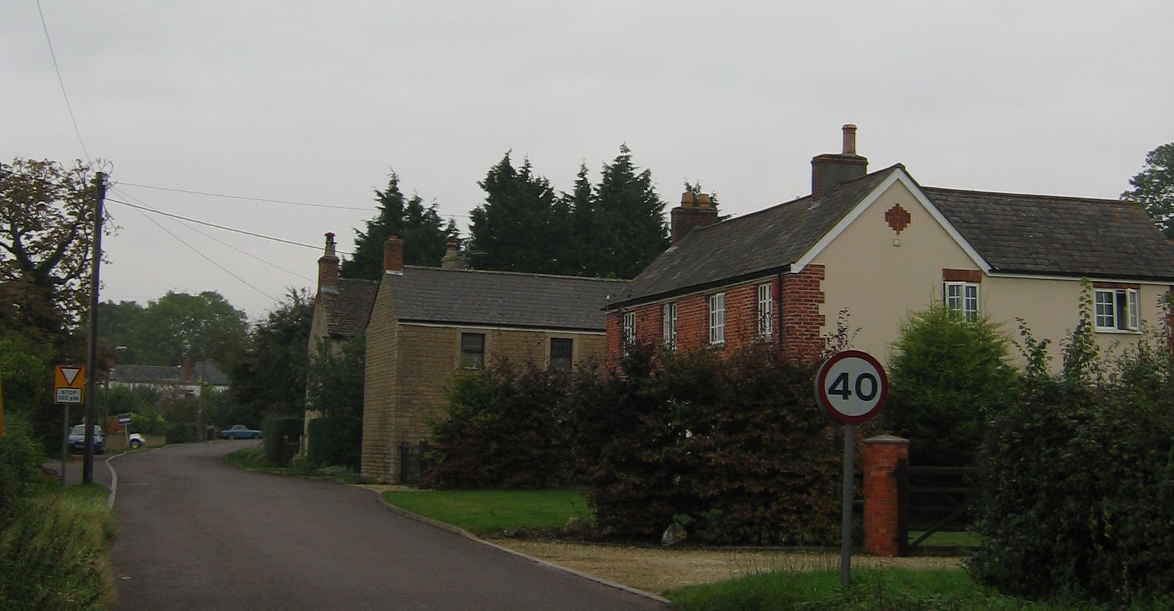
Bullenhill is a historic settlement with a rich heritage dating back centuries. The village is characterized by its charming thatched cottages and traditional architecture, which add to its quaint and idyllic appeal. The local community is close-knit and friendly, contributing to the welcoming ambiance of the village.

Despite its small size, Bullenhill has a few amenities to cater to its residents' needs. These include a village hall, a small convenience store, and a post office. The village also has a primary school, which serves the local children.

The surrounding countryside offers plenty of opportunities for outdoor activities, such as hiking, cycling, and horse riding. Bullenhill is located close to several nature reserves and parks, making it an ideal location for nature enthusiasts. The village is also within easy reach of the famous Avebury Stone Circle, a UNESCO World Heritage Site, which attracts visitors from all over the world.

Overall, Bullenhill offers a peaceful and scenic setting, making it an attractive place to live for those seeking a rural lifestyle away from the bustling cities.

If you have any feedback on the listing, please let us know in the comments section below.
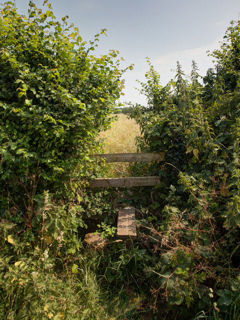
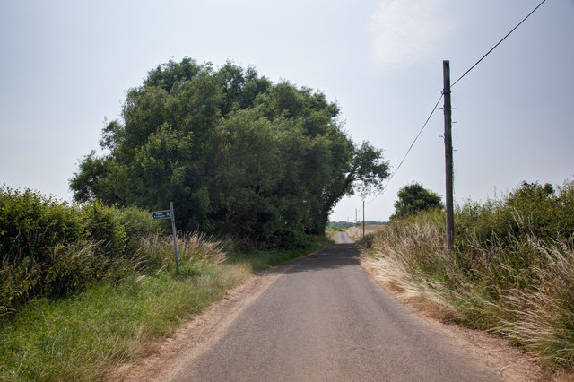
Bullenhill Images

Images are sourced within 2km of 51.312005/-2.1592046 or Grid Reference ST8957. Thanks to Geograph Open Source API. All images are credited.

Sign at the Longs Arms PH
High Street in Steeple Ashton looking south
Stile onto footpath This stile provides access from the road onto the footpath.  Judging by the relatively vigorous crop growth on the footpath this is not frequently used.
Stile onto footpath
This stile provides access from the road onto the footpath. Judging by the relatively vigorous crop growth on the footpath this is not frequently used.
Sandpits Lane The footpath sign points towards the stile and footpath shown in <a href="https://www.geograph.org.uk/photo/3565438">ST9056 : Stile onto footpath</a>
Sandpits Lane
The footpath sign points towards the stile and footpath shown in ST9056 : Stile onto footpath
Natural tunnel on the footpath A tree has formed a small tunnel on the footpath.
Natural tunnel on the footpath
A tree has formed a small tunnel on the footpath.
Footpath by the field boundary To the right of this fence is pasture in which, at the time of taking the image, cows were grazing.

On this side of the fence a footpath runs parallel to the fence.  The field on this side appears to be planted with oil seed rape but in reality it seems to be primarily be growing thistles.
Footpath by the field boundary
To the right of this fence is pasture in which, at the time of taking the image, cows were grazing. On this side of the fence a footpath runs parallel to the fence. The field on this side appears to be planted with oil seed rape but in reality it seems to be primarily be growing thistles.
Footpath south of Steeple Ashton
High Street, Steeple Ashton ca 1980 (2)
High Street, Steeple Ashton ca 1980 (1) -
<a href="https://www.geograph.org.uk/photo/3825524">ST9056 : High Street, Steeple Ashton ca 1980 (2)</a>
High Street, Steeple Ashton ca 1980 (1)
Steeple Ashton: c16th Old Merchants Hall
Steeple Ashton, c16th Old Merchants Hall: Entrance
Steeple Ashton High Street
Steeple Ashton: Small octagonal lock-up (1773) and village cross with sundial (1679)
Steeple Ashton: Village Cross with sundial (1679)
Steeple Ashton: Ashton House (c.1500) with stone facade of 1724
Steeple Ashton: Sundial House
Show me another place!

Bullenhill is located at Grid Ref: ST8957 (Lat: 51.312005, Lng: -2.1592046)

Unitary Authority: Wiltshire

Police Authority: Wiltshire

What 3 Words

///polka.angle.spotty. Near Trowbridge, Wiltshire

Nearby Locations

Bullenhill

Related Wikis

Have you been to Bullenhill?

Leave your review of Bullenhill below (or comments, questions and feedback).