Bulley

Settlement in Gloucestershire Forest of Dean

England

Bulley

Chapel under conversion Tibberton Methodist church has closed and is now being converted into a house.
Chapel under conversion Credit: Jonathan Thacker

Bulley is a small village nestled in the picturesque county of Gloucestershire, England. Situated approximately 8 miles west of the city of Gloucester, the village is surrounded by stunning countryside and offers a peaceful rural retreat.

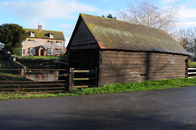
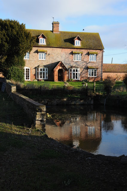
With a population of around 300 residents, Bulley exudes a quaint and charming atmosphere. The village is characterized by its traditional Cotswold stone buildings, which add to its timeless appeal. The local community is tight-knit and friendly, making it an inviting place to live or visit.

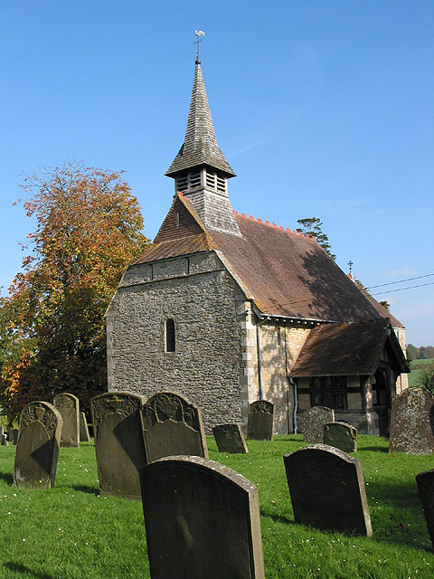
Despite its small size, Bulley has a rich history. It is believed that the village dates back to Roman times, and remnants of a Roman villa have been discovered nearby. The St. Nicholas Church, a historic landmark, stands proudly in the heart of the village and serves as a reminder of Bulley's heritage.

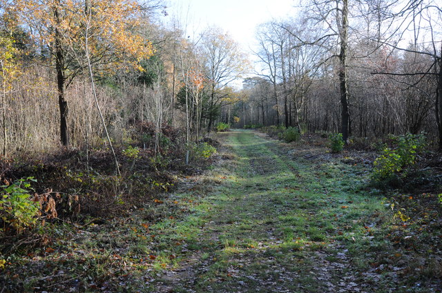
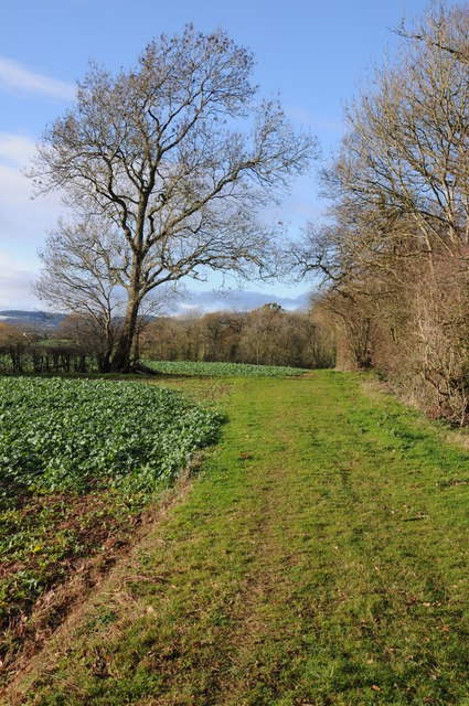
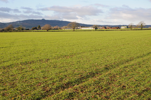
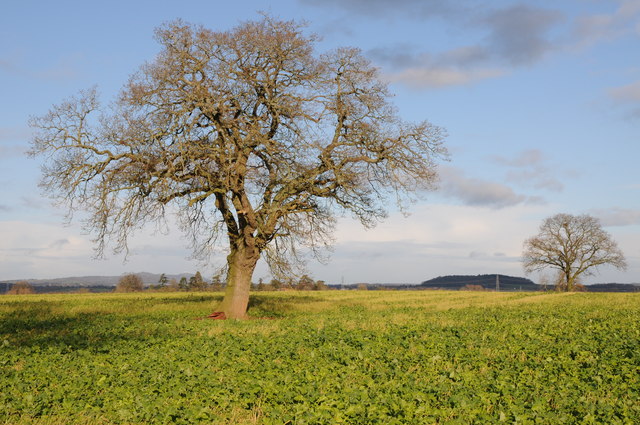
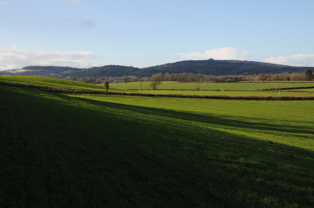
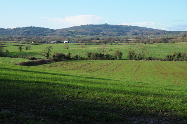
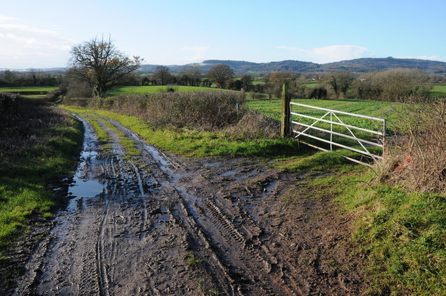
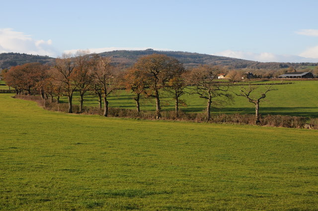
Nature enthusiasts will find plenty to explore in Bulley and its surroundings. The village is surrounded by rolling hills, lush meadows, and winding footpaths, making it an ideal location for outdoor activities such as hiking and cycling. The nearby Bulley Woods offer a tranquil setting for peaceful walks and birdwatching.

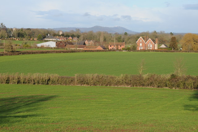
While Bulley offers a serene escape from city life, it is conveniently located within easy reach of amenities. The city of Gloucester provides a range of shopping, dining, and cultural opportunities only a short drive away. Additionally, the village is well-connected to major road networks, allowing for easy access to other parts of Gloucestershire and beyond.

In summary, Bulley is a charming and historic village in Gloucestershire, offering a peaceful rural lifestyle amidst stunning natural surroundings. Its close-knit community and proximity to amenities make it an attractive place to live or visit.

If you have any feedback on the listing, please let us know in the comments section below.
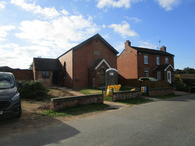
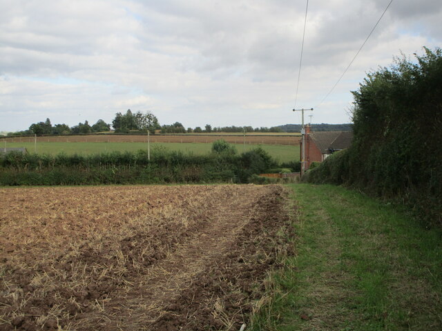
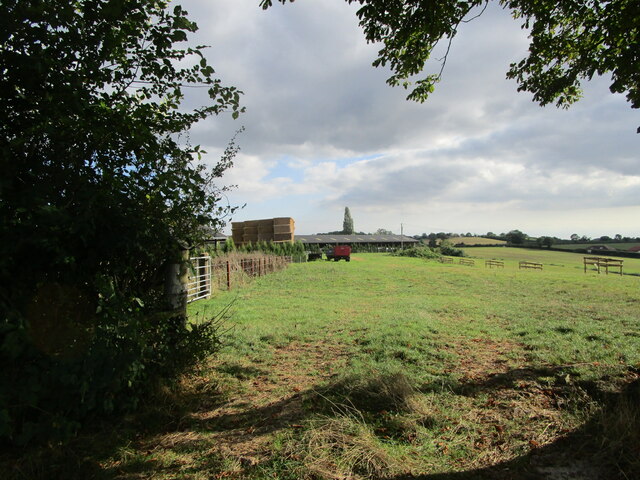
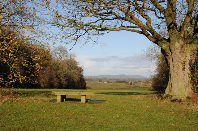
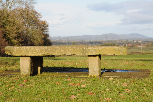
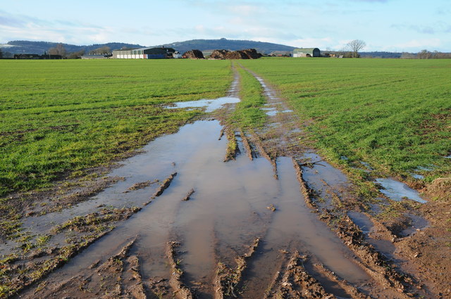
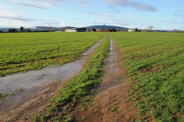
Bulley Images

Images are sourced within 2km of 51.874869/-2.345976 or Grid Reference SO7619. Thanks to Geograph Open Source API. All images are credited.

Chapel under conversion Tibberton Methodist church has closed and is now being converted into a house.
Chapel under conversion
Tibberton Methodist church has closed and is now being converted into a house.
Footpath to Huntley Road, Tibberton
Grass field and Griffiths Farm, Tibberton
Track in Highnam Woods Track through Highnam Woods on a frosty December morning.
Track in Highnam Woods
Track through Highnam Woods on a frosty December morning.
Memorial bench, Bulley This bench beside Desmesne Wood has an inscription to Morgan Philips Price 'who owned and loved these woods'.  The Malvern Hills can be seen in the distance.
Memorial bench, Bulley
This bench beside Desmesne Wood has an inscription to Morgan Philips Price 'who owned and loved these woods'. The Malvern Hills can be seen in the distance.
Memorial bench, Bulley Memorial bench to Morgan Philips Price 'who owned and loved these woods'.  The Malvern
Memorial bench, Bulley
Memorial bench to Morgan Philips Price 'who owned and loved these woods'. The Malvern
Colliers End Farm Track across a field to Colliers End with May Hill in the background.
Colliers End Farm
Track across a field to Colliers End with May Hill in the background.
Colliers End Farm Track across a field to Colliers End with May Hill in the background.
Colliers End Farm
Track across a field to Colliers End with May Hill in the background.
Footpath beside Desmesne Wood Footpath beside Desmesne Wood near Bulley.
Footpath beside Desmesne Wood
Footpath beside Desmesne Wood near Bulley.
Colliers End Farm Colliers End Farm viewed across an arable field.  May Hill is in the distance.
Colliers End Farm
Colliers End Farm viewed across an arable field. May Hill is in the distance.
Trees in an arable field Trees in an arable field probably marking the line of a former hedge near Collier's End.  The Malvern Hills can be seen in the horizon.
Trees in an arable field
Trees in an arable field probably marking the line of a former hedge near Collier's End. The Malvern Hills can be seen in the horizon.
View to Tibberton View to the village of Tibberton with the church tower in middle distance, the Malvern Hills are on the horizon.
View to Tibberton
View to the village of Tibberton with the church tower in middle distance, the Malvern Hills are on the horizon.
May Hill View to May Hill from Collier's End.
May Hill
View to May Hill from Collier's End.
Colliers End Farm Colliers End Farm near Bulley comprises a number of traditional farm buildings.
Colliers End Farm
Colliers End Farm near Bulley comprises a number of traditional farm buildings.
Colliers End Farm Traditional farmhouse complete with pond at Colliers End Farm near Bulley.
Colliers End Farm
Traditional farmhouse complete with pond at Colliers End Farm near Bulley.
May Hill May Hill viewed from near Collier's End.
May Hill
May Hill viewed from near Collier's End.
Track near Colliers End Track near Colliers Elm with May Hill on the horizon to the right.
Track near Colliers End
Track near Colliers Elm with May Hill on the horizon to the right.
Farmland near Merrimans, Huntley A line of trees mark a hedgerow, Merrimans Farm can be seen to the right with May Hill in the background.
Farmland near Merrimans, Huntley
A line of trees mark a hedgerow, Merrimans Farm can be seen to the right with May Hill in the background.
Show me another place!

Bulley is located at Grid Ref: SO7619 (Lat: 51.874869, Lng: -2.345976)

Administrative County: Gloucestershire

District: Forest of Dean

Police Authority: Gloucestershire

What 3 Words

///stunt.medium.microfilm. Near Huntley, Gloucestershire

Related Wikis

Bulley

Bulley is a village and former civil parish, now in the parish of Churcham, in the Forest of Dean district, in Gloucestershire, almost 7 miles (11 km)...

Churcham

Churcham is a small village and civil parish in the Forest of Dean District of Gloucestershire in England, located 4 miles (6.4 km) west of Gloucester...

School of the Lion

The School of the Lion was an independent school based in Churcham, Gloucestershire. The school was founded in by 1987 by a group of Gloucestershire-based...

Highnam Woods

Highnam Wood is a nature reserve located in Gloucestershire and established by the RSPB to protect bird species in the region. A two-kilometre nature...

Nearby Amenities

Located within 500m of 51.874869,-2.345976
Bulley
Is In: Gloucestershire, England, UK
Place: village
Wikidata: Q14956421
Lat/Long: 51.8749048/-2.3456994
Post Box
Collection Times: Mo-Fr 16:00; Sa 10:00
Post Box Type: lamp
Ref: GL2 101
Royal Cypher: EIIR
Royal Cypher Wikidata: Q33102113
Lat/Long: 51.8756602/-2.3467763
The data included in this document is from www.openstreetmap.org. The data is made available under ODbL.

Have you been to Bulley?

Leave your review of Bulley below (or comments, questions and feedback).